Round walk Gelaend 10.1.2008
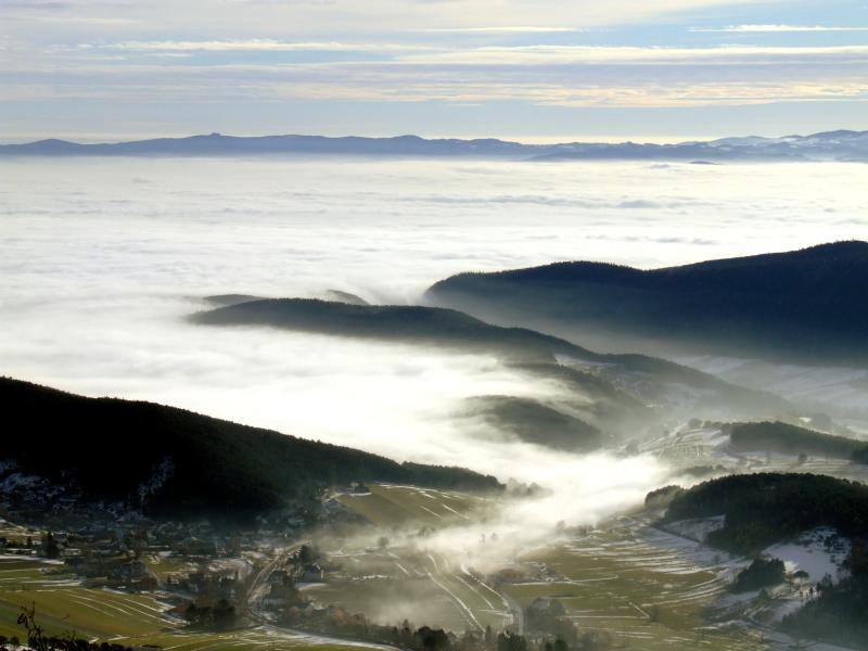
Today, dense mist covers the land, but very close to the ground, which can serve as a sign for not reaching up very high. After a short control of Schneeberg - Webcam I decide to do a round walk on Gelaend, the southwestern end of Hohe Wand.
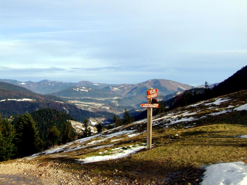
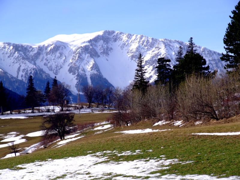
From my starting point, Gruenbach saddle, firstly I walk a bit in northern direction along the slope of the mountain.
Then I turn to the right, and near that pond I turn to the left up along the ridge, first on a forest gravel road, then on a narrow, at times awkard icy path.
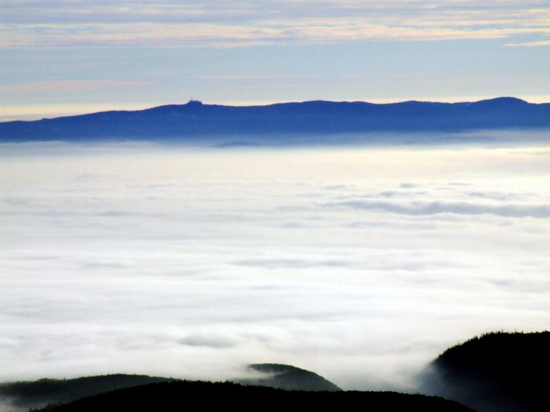
View in eastern direction - mist over the southern Vienna´s plain, ...
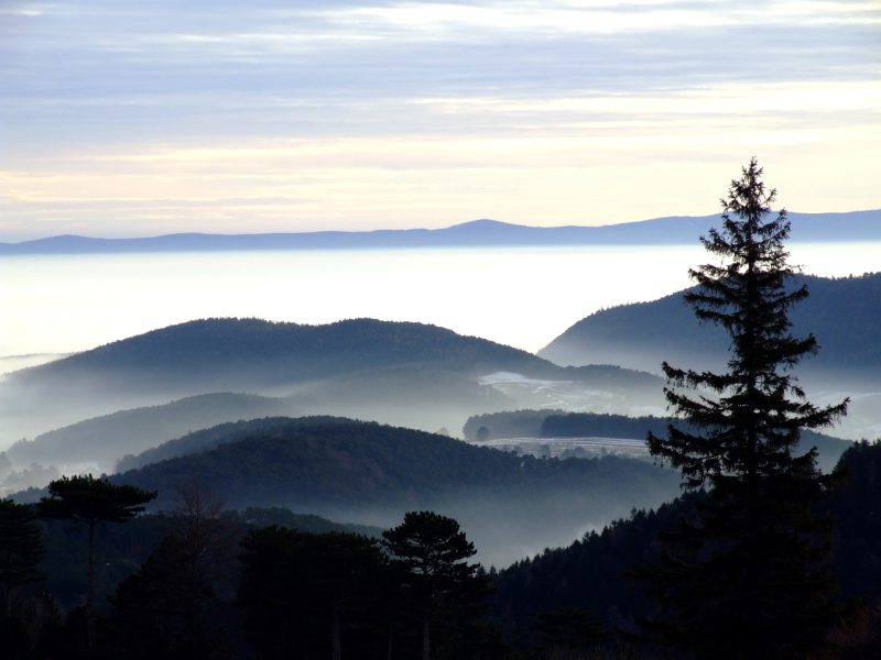
... with Rosalia mountains behind.
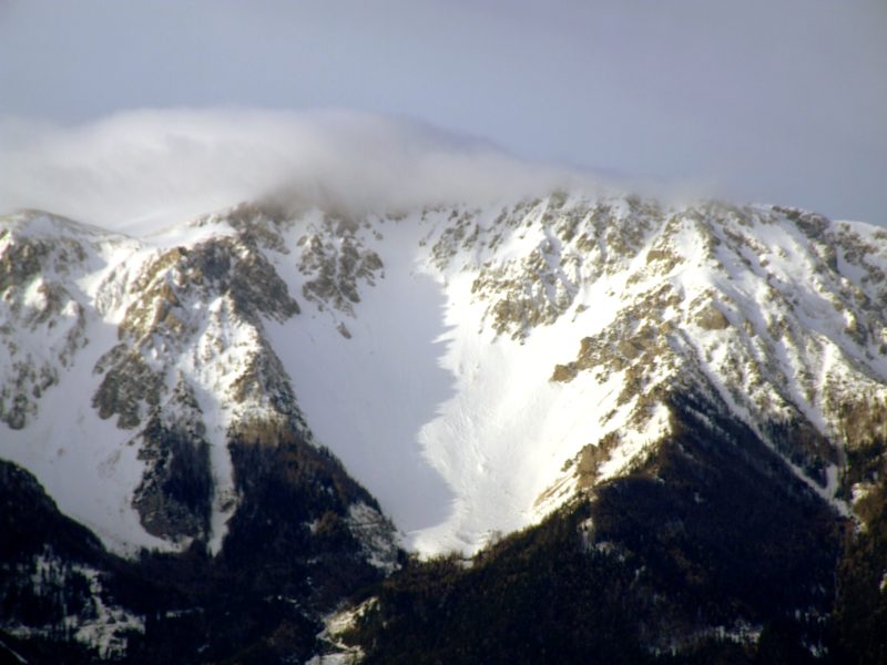
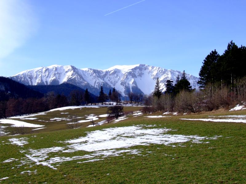
Schneeberg still has a summit cloud.
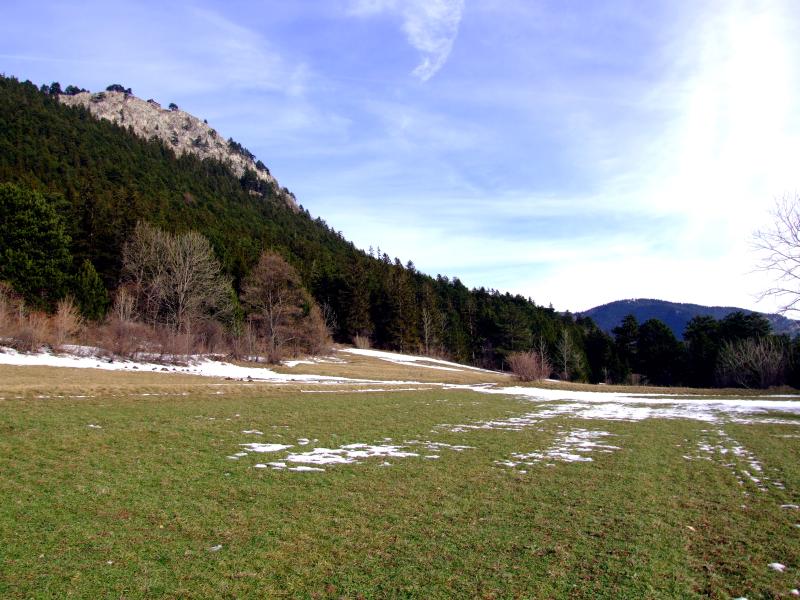
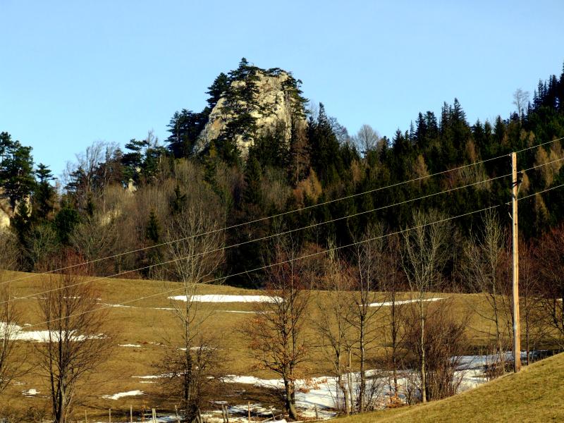
Hausstein, a prominent rock standing alone within the landscape
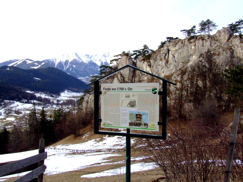
Here is an important archeological site, as described on that plate.
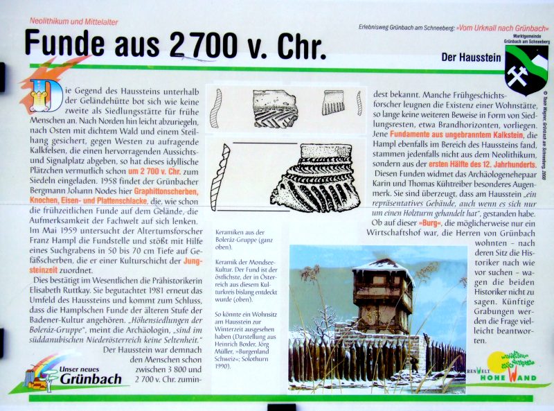
In short, it says that first settlements are from 2700 b.c. from the Neolithic age. A tower, similar to that shown in the picture, may have been standing here in the first half of the 12th century.
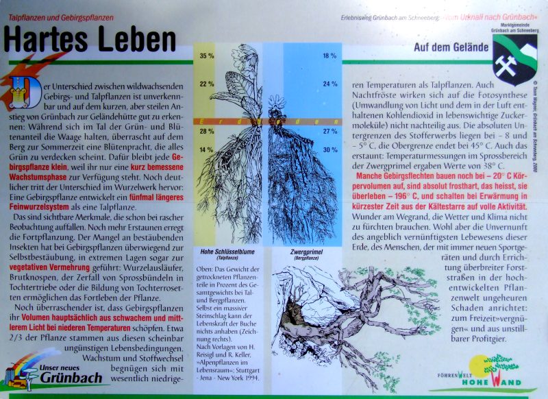
More above, shortly beneath the summit, another plate, dealing with living conditions of mountain plants as compared to those in the valley. It compares two primrose species, the left being the common cowslip growing in the valley, the right a tiny primrose species growing much higher. It has much less green and much more roots and has to stand big temperature extremes, even with photosynthesis between -8 and +45 C (the latter occuring in direct sunshine on the ridges where this plant is growing). Furthermore, it says that some lichen even can stand -196 C and even grows at conditions down to -20 C. So, the only thing those plants have to fear is man and its influence!
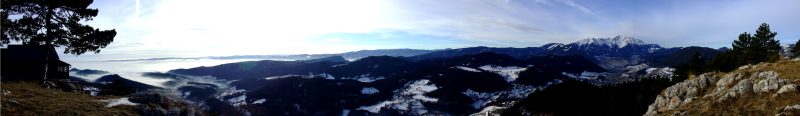
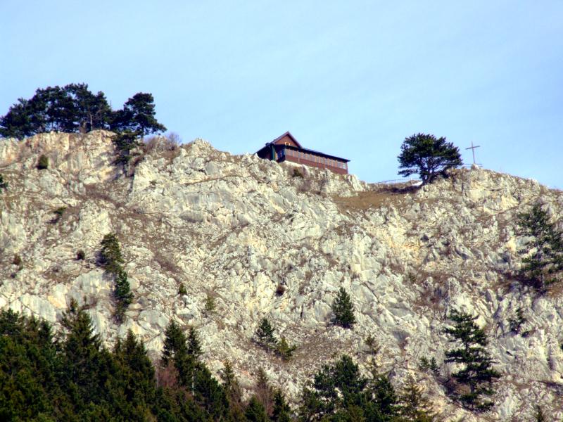
Panoramic view from the summit of Gelaend, the homonymeous hut far left. The view goes from Rosalia mountains via Bucklige Welt and Wechsel to Schneeberg. Click into the picture for a larger version.
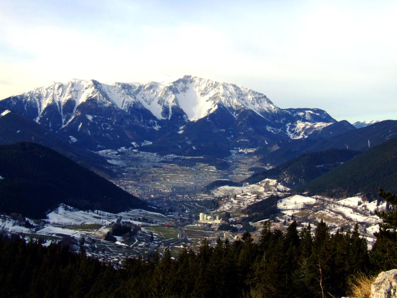
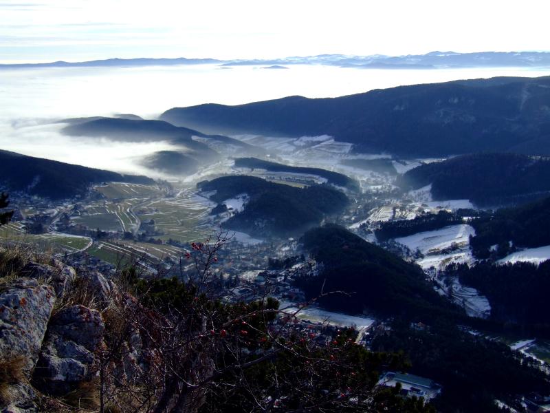
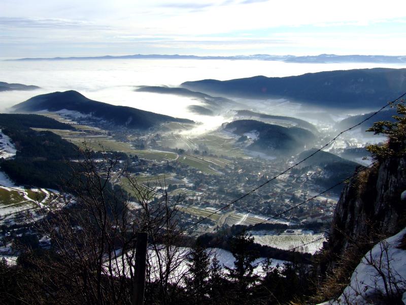
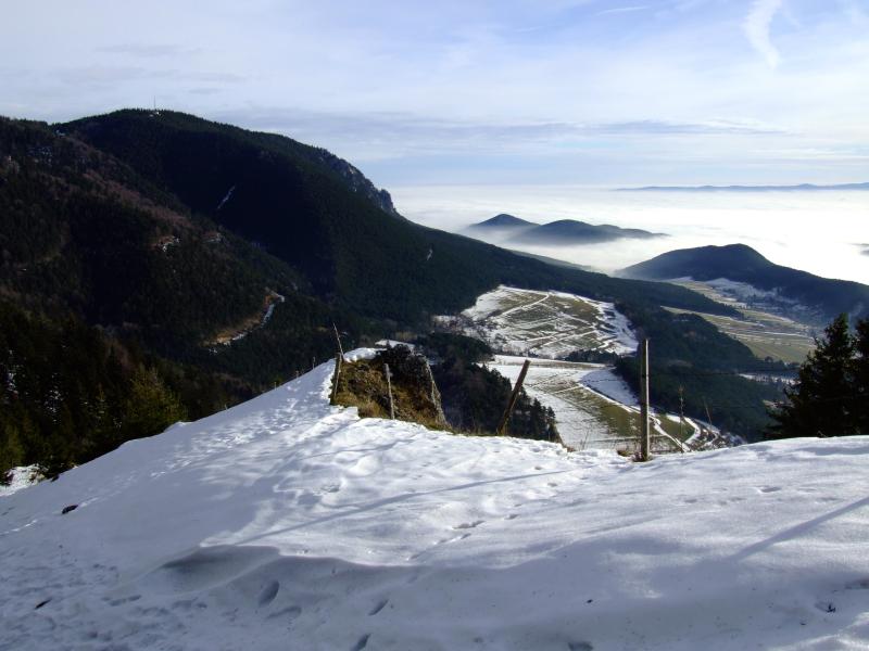
A stunning view over Puchberg to Schneeberg. On the lower left corner behidn the forest is Gruenbach´s saddle from where I started my walk. The big white building in the centre belongs to the gypsum quarry of Pfenningbach, the quarry being situated in the region in front (View in the opposite direction).
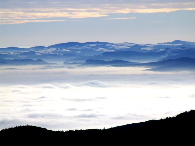
View over Gruenbach, in the background the Rosalia mountains and Bucklige Welt
The left part of the panorama shown before, not included because of the hut. Hohe Wand far left with Große Kanzel, Kienberg and Zweiwiese, both popping out of the mist, so the upper border of the mist is as lw as about 600 m today.
View to the Rosalia mountains with the chapel and the ORF broadcast station.
Bucklige Welt
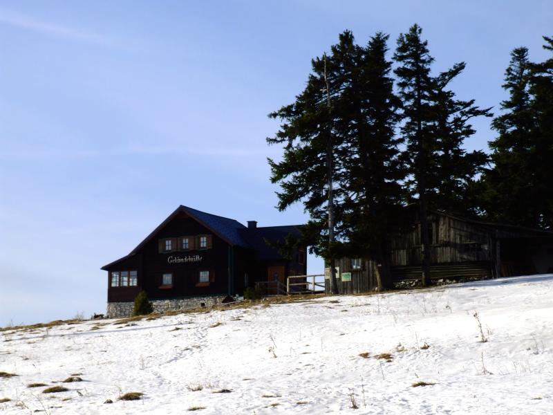
I now leave the summit via the opposite side.View back to Gelaend hut.
Gruenbach
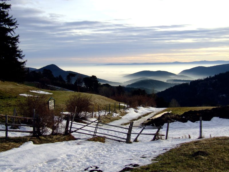
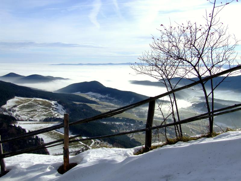
The sun now warms the mist a bit making it a bit frayed on its upper outskirts, however not enough to completely dissolve it.
Hohe Wand, Kienberg and Rosalia mountains.
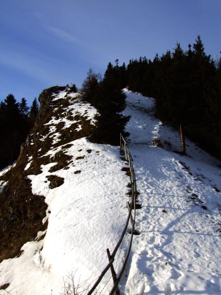
The view back the ridge up Gelaend
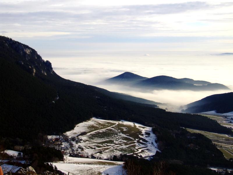
After about 15 minutes a small saddle, to the left the path leads down to the Miesenbach valley. In the background Gutenstein Alps, without mist. I do not chose the steep descent to the right side because I expect it to be icy. Instead, I continue my way on the ridge till Rastkreuz saddle followed by hte descent to the right on a forest gravel road, leading me back around the mountain to Gruenbach saddle.
Back to the foothills of Gelaend, shortly above Gruenbach saddle.
View back up to Gelaend hut, ...
... and zooming in.
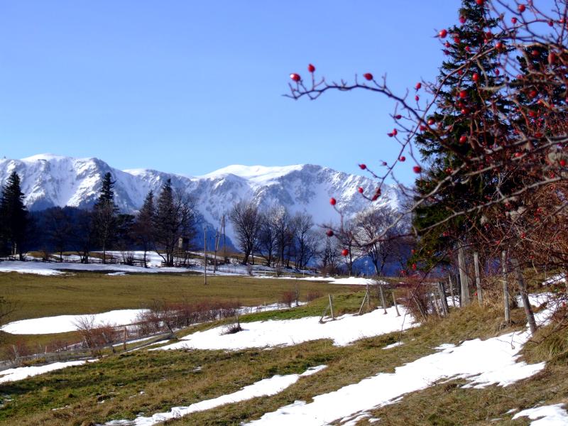
Still rests of snow here, especially in places of drift.
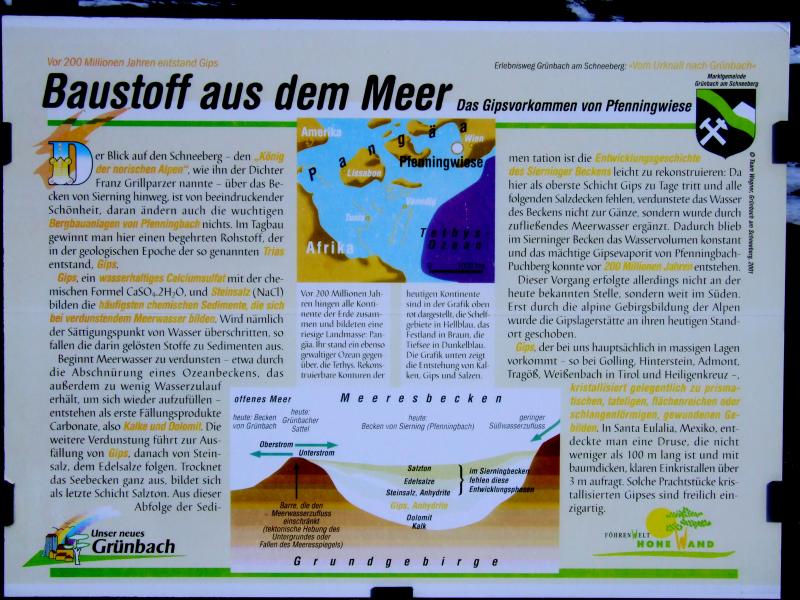
One more plate, this time with information on the local gypsum quarry in Pfenningbach near Puchberg. In short, it explains the sedimentation of gypsum as the lowest layer of salts precipitating from sea water, being concentrated when a local part of the sea is lined out from the rest and the evaporation rate is high. If the evaporation ist complete, rock salt is deposited above the gypsum, followed by potassium salts. No salts are found here, so it seems that the concentrating water has been replaced in some kind, and the layer of gypsum has become quite thick. All this happened about 200 Millions of years ago.
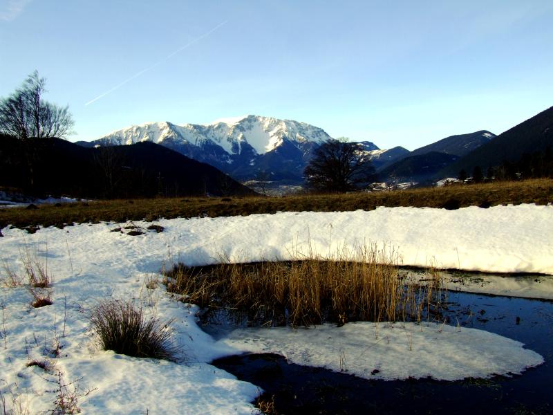
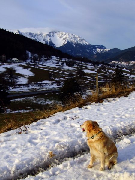
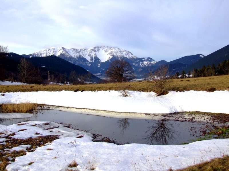
Back to that small pond from the beginning of my walk.
Hausstein, this time seen from beneath.