Bicycle Ride Stieglreith - Tiefental 3.7.2006
Back from Innsbruck at 5 p.m. I decide to see another part of the surroundings. I ride with my mountain bike to Oberperfuss/Windhaag, from there to the middle station of the cable railway to Rangger Koepfl at Stieglreith. Then further to Gfaas and, after a steep descent by foot, down a toboggan run and short road to Hinterburg and back to Sellrain/Tauegert.
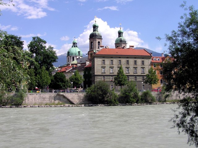
At first, however, a few pictures of Innsbruck, where I went around with the bike after work
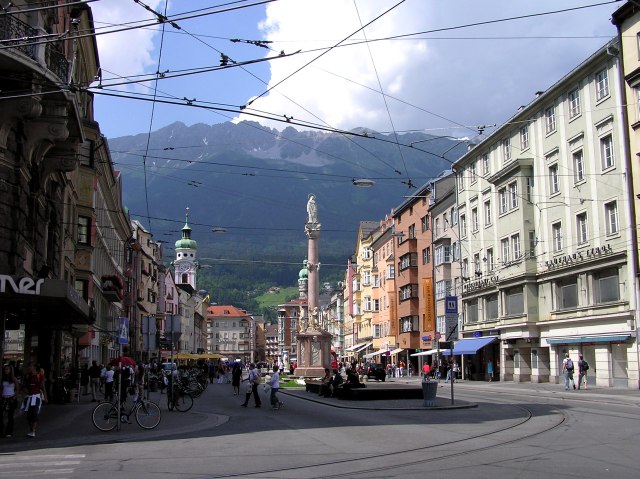
Maria Theresien Street, with the view to the North range
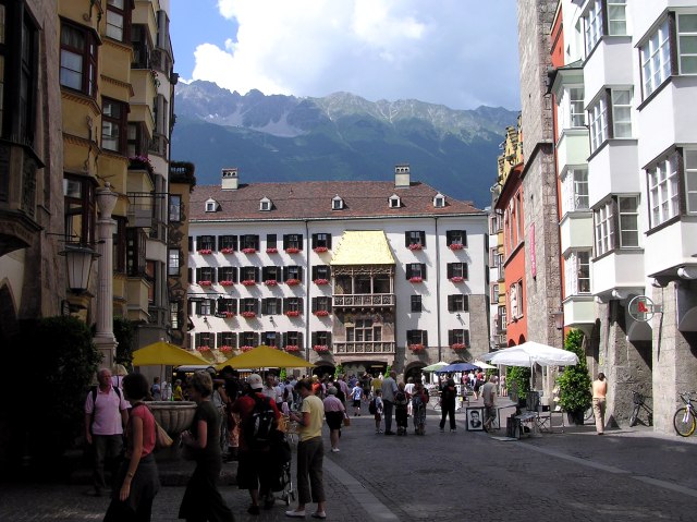
The Old Town with the pedestrian area and the famous golden roof, the most important landmark of Innsbruck
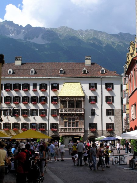
The classical view: The golden roof with the North Range in the background.
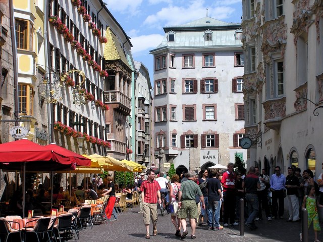
Once more the golden roof from another perspective. Under the yellow parasols I indulged myself in a pizza on Sunday evening, after the Zischgeles tour and 5 hours of work.
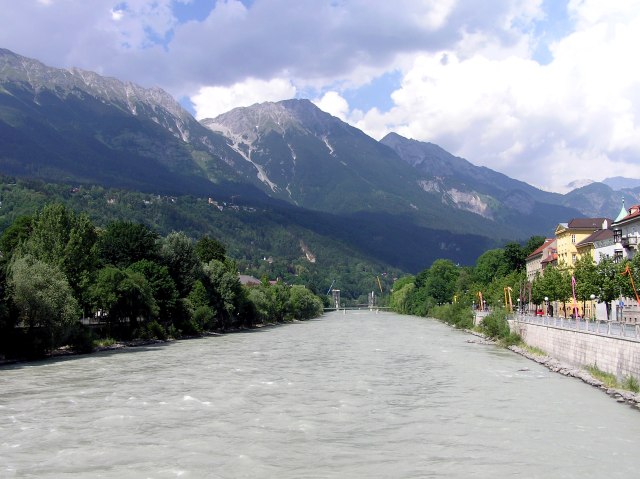
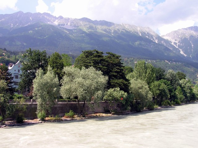
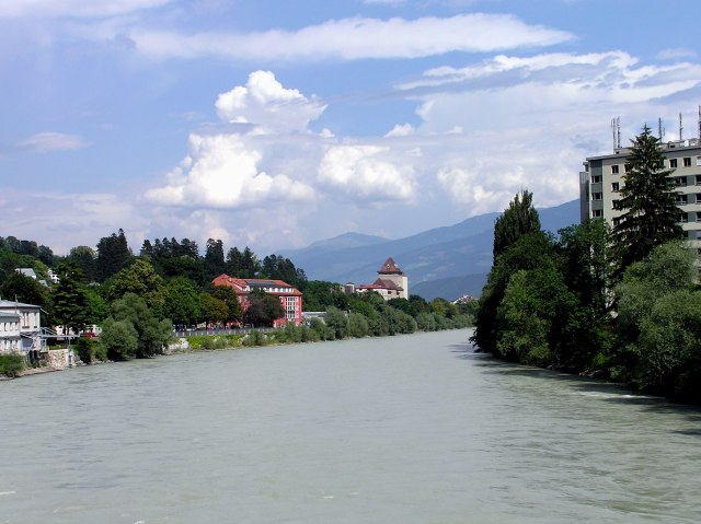
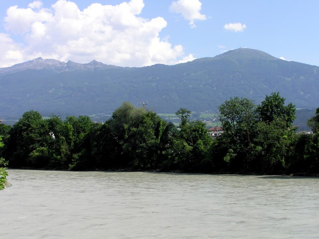
The river Inn also contains milky turbid water due to so many confluences by glacier becks.
The summitsa of the Northern Range are up to 2.000 m higher.
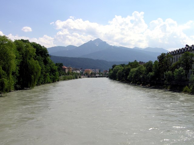
View to southwest with Saile (2.403 m)
The Hungerburg/Hafelekar cable rail, leading to the ridge in three stages. The first stage is out of order now and is intended to be renewed.
View to the east down the Inn valley. First thunderclouds are towering.
Näher im Süden sind der Glungezer (2.600 m, links) und der Patscherkofel (2.246 m).
Oberperfuss, on half way to Sellrain/Tauegert. View through the Senders valley to the Kalkkoegel
Still clear view to Innsbruck.
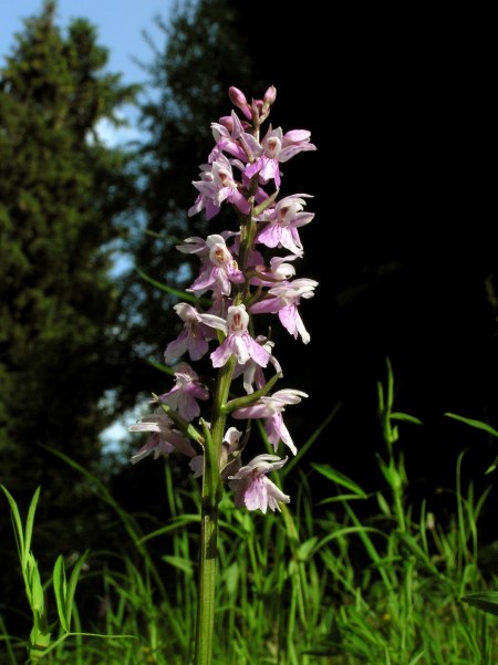
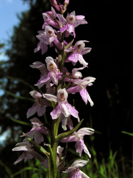
Common spotted orchid grows in masses along the road.
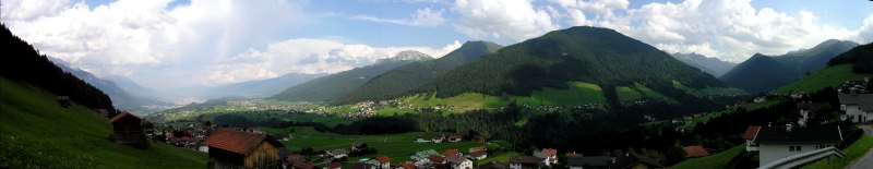
Panorama from von Oberperfusz/Windhaag to east and south.Click into the picture for a larger version.
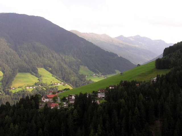
Sellrain/Tauegert. The centre of the village is behind in the Sellrain valley, about 200 m beneath. My accomodation was in the farm house down left in front, ...
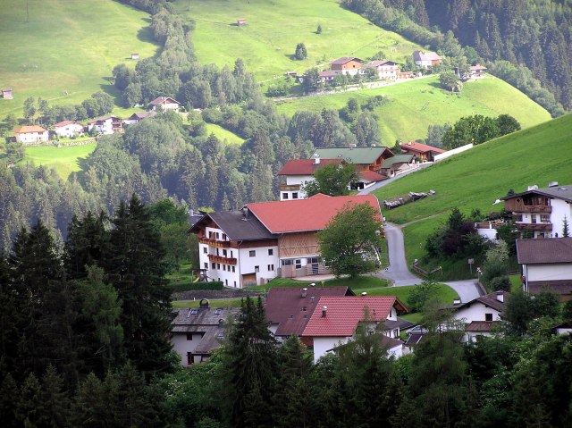
... called "Hiaslerhof".
A brake on a meadow shortly beneath Stieglreith (1.363 m).
View to the Northern Range, Groszer Solstein (2.541 m)
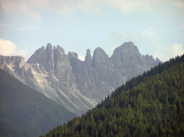
Kalkkoegel behind the Senders valley
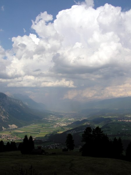
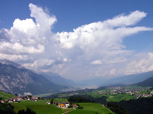
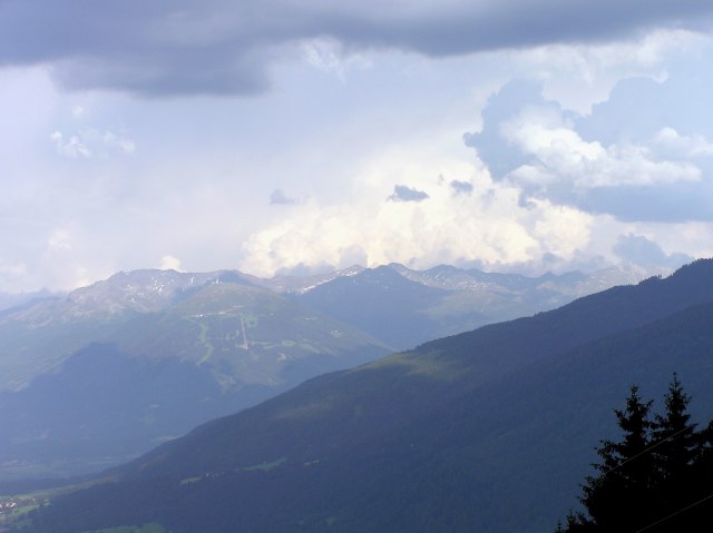
Thunderclouds above the Inn Valley.
My mobile phone rings, and during the 20 minutes of the phone call, holding my camera in the other hand, ...
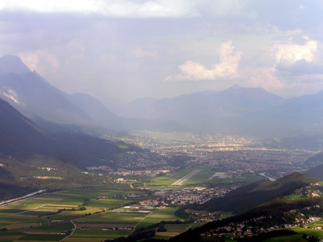
a rain shower draws over the Inn valley, from Hall...
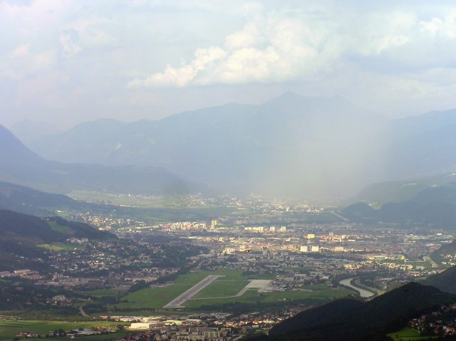
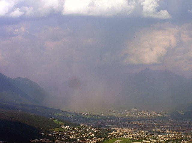
... over the easternmost parts of Innsbruck.
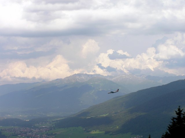
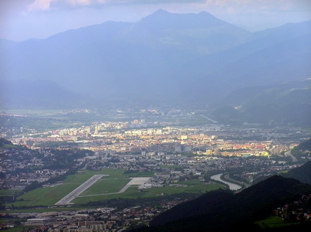
Now I know, why only a very limited number of pilots are allowed to land on Innsbruck airport.
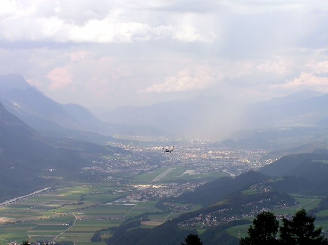
A landing fault and restart requires enough kerosene in the tank, because the loop to fly is just a big one in that mountainous surrounding.
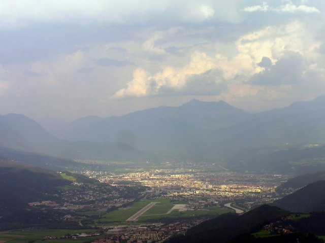
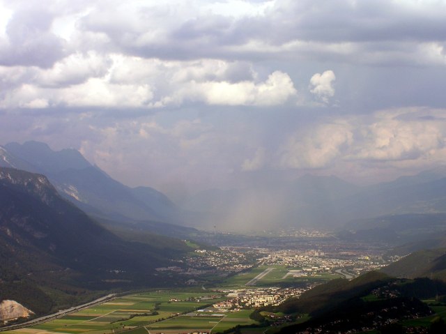
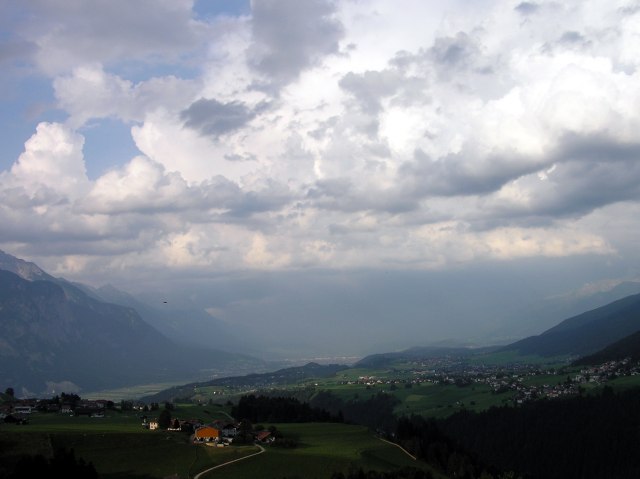
The air ist clear now, ...
... the shower has gone.
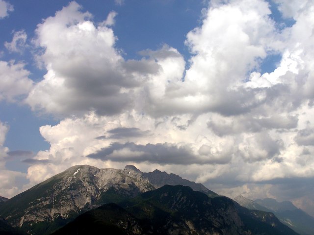
New clouds however over Patscherkofel, ...
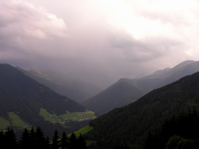
... and this cloud fills me with sorrow, because it thunders already, and first raindrops are falling (however, rain did not encrease furthermore). So, the rest of the trip was done in a hurry and with overcast sky, no more fotos therefore.
Back at the balcony.