15.8.2007: Car drive along the south coast, into the Pervolakia - gorge and to the Ziros plateau
After a morning in the club I start alone (the family does not want to join) to a sightseeing - tour along the south coast. The weather is extremely windy today, so that the life at the pool is not so comfortable with everything flying away.
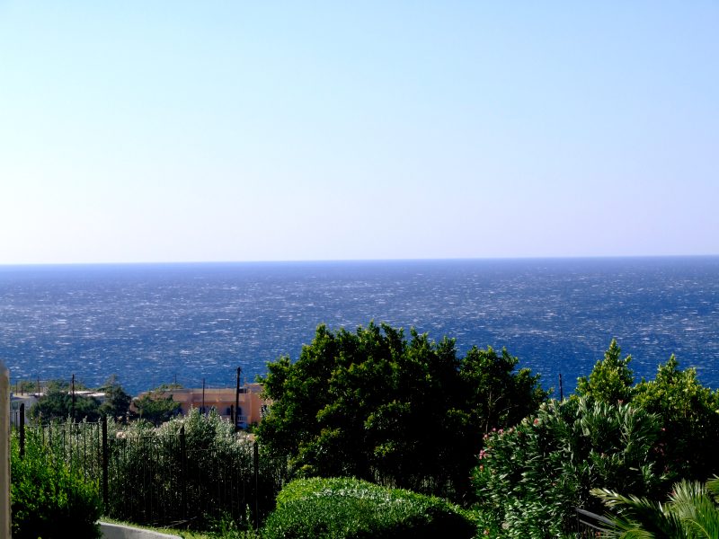
View from our balcony: The sea shows white crestwaves due to the wind.
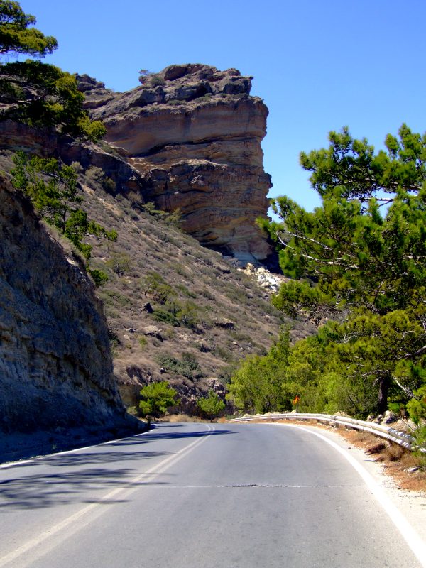
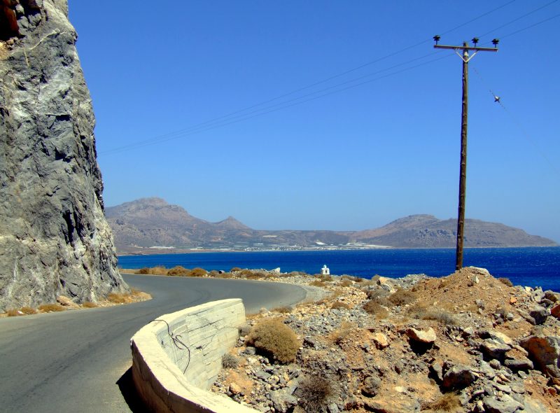
Driving through a valley coming down from Afendis Stavramenos into a cove with this prominent rock directly above the road.
The appendant cove near Agia Fotia
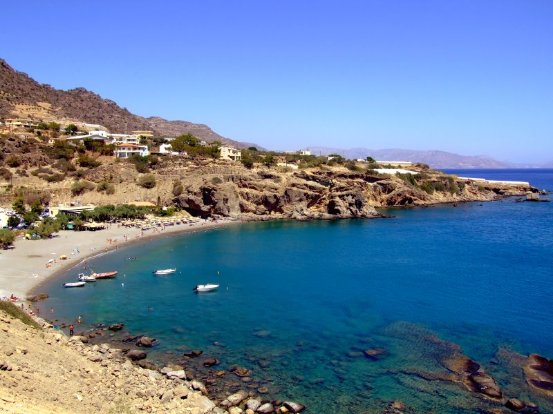
The next cove near Achlia
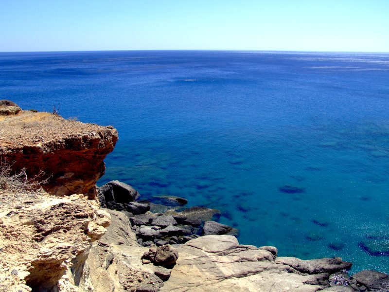
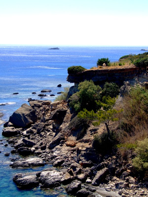
View to the Libyan sea. Overhanging cliffs close to the road.
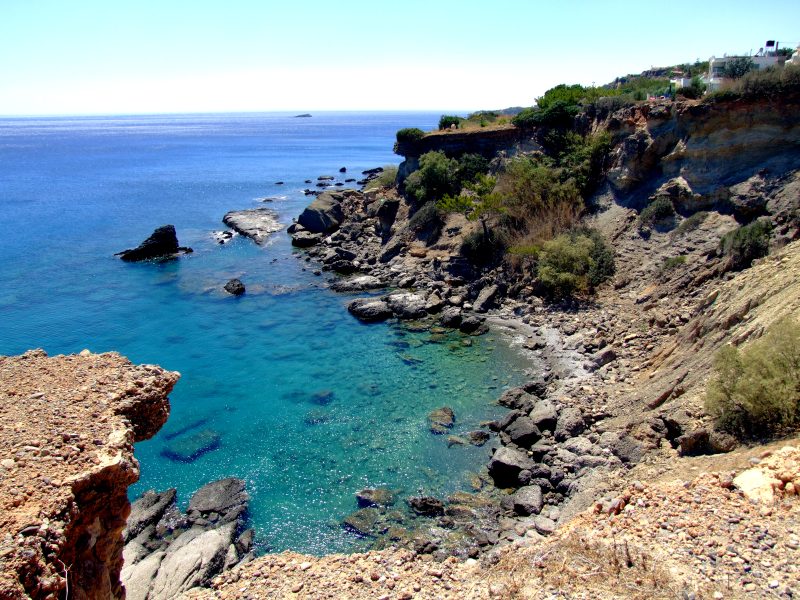
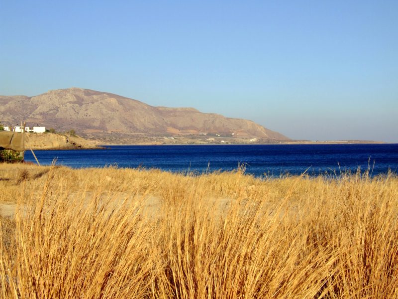
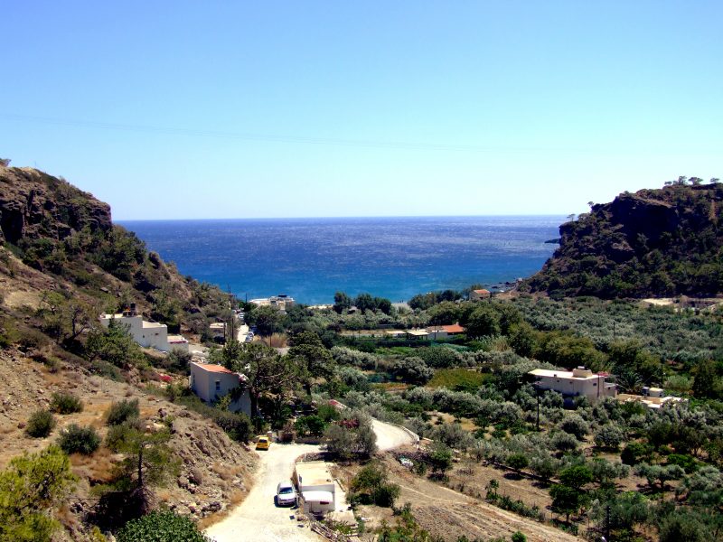
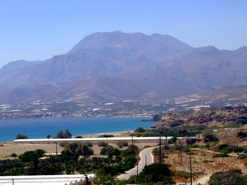
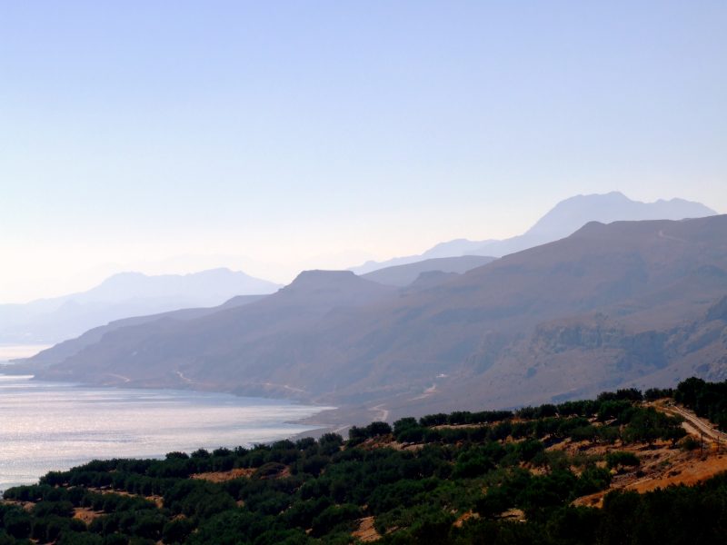
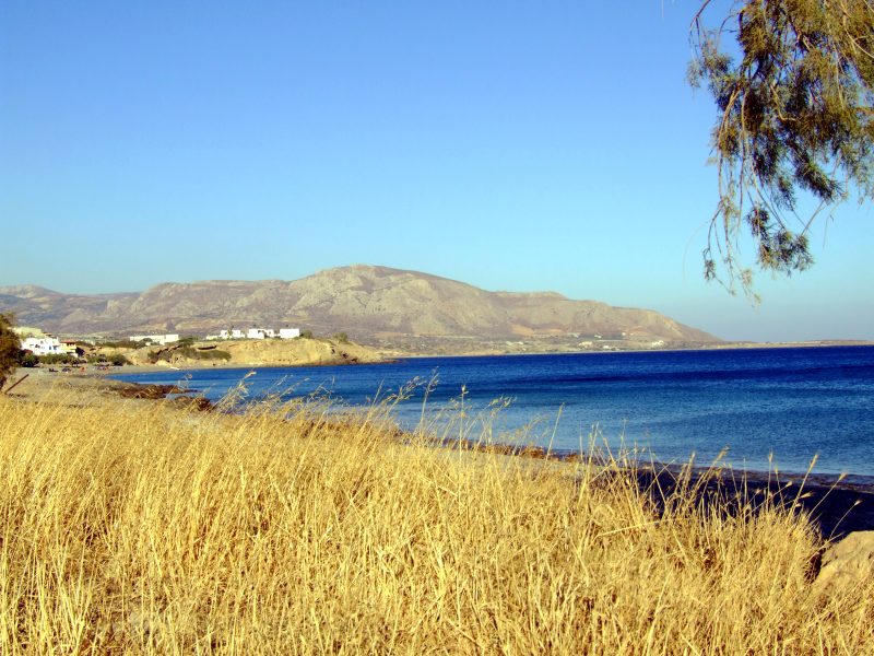
View along the soth coast in eastern direction
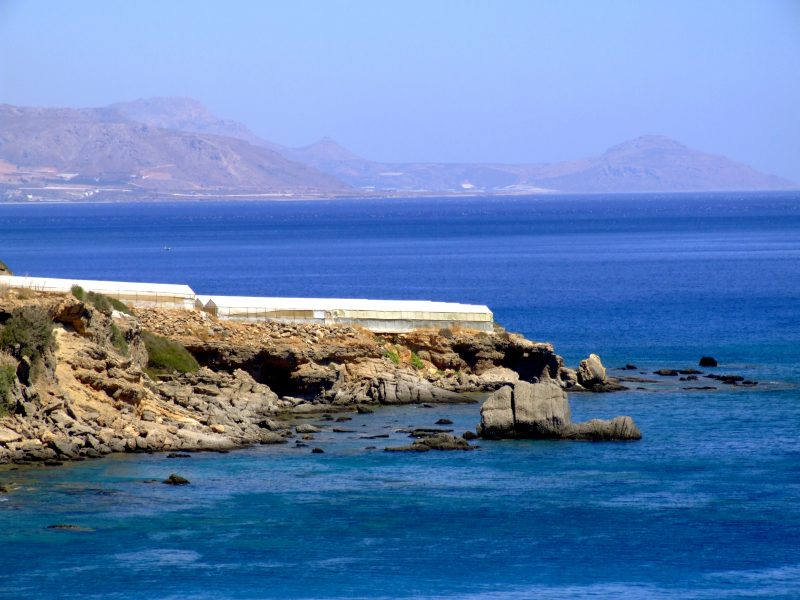
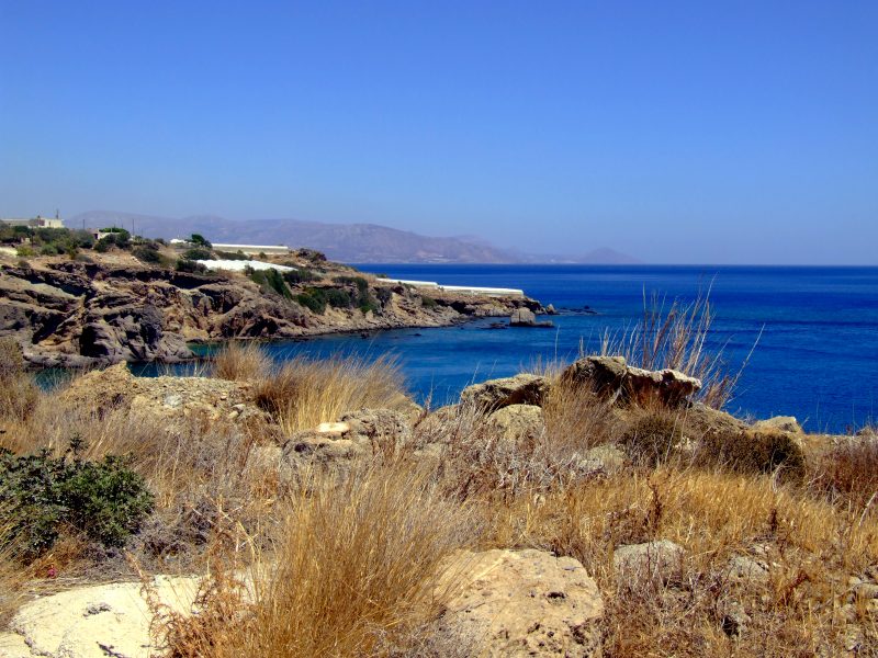
Greenhouses close to the sea
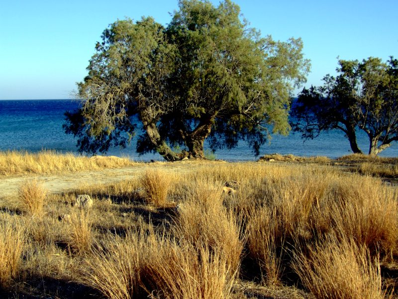
View along the south coast in western direction.
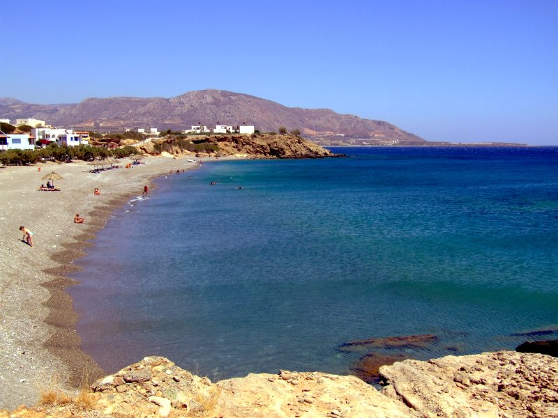
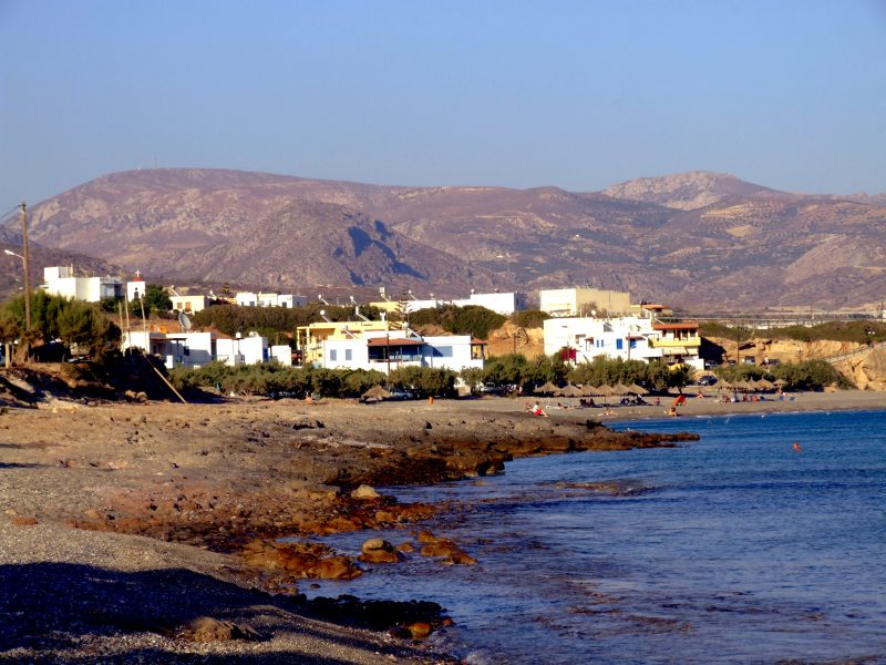
The next cove, near Koutsouras
A similar view as on the second day, over thr cove of Kuotsouras and Analipsi, however today Afendis Stavramenos is completely clear..
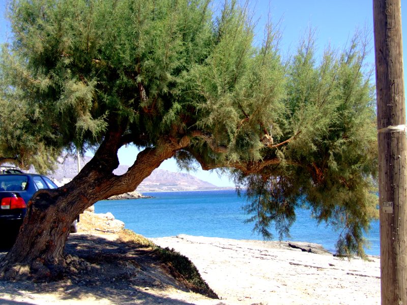
Further on to Kato Nero ...
... and along the rocks.
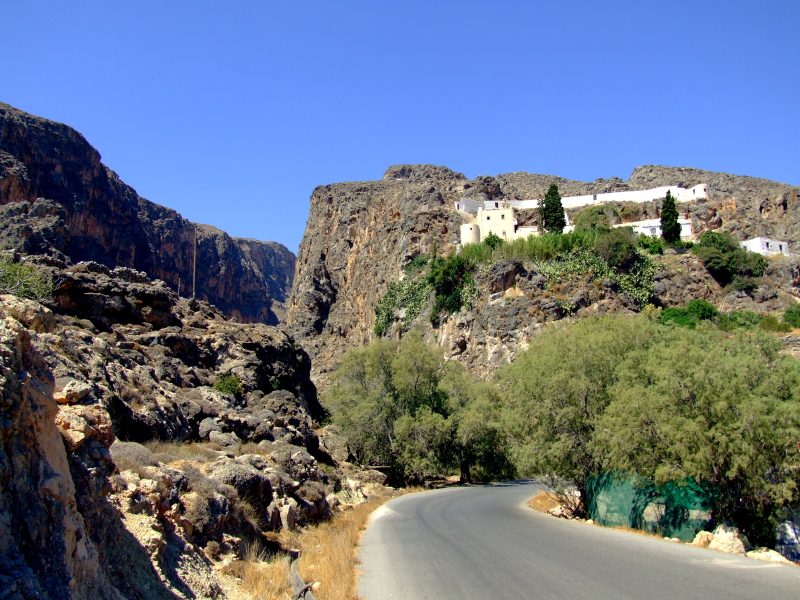
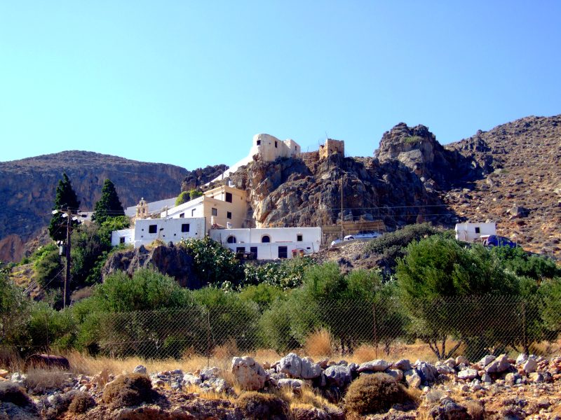
Suddenly you drive around a corner, and get the view to Kapsa monastery high on a rock ...
... like a guide over the Pervolakia - gorge.
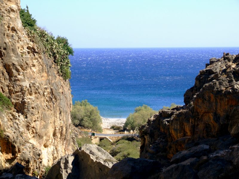
A small beach at the end of the gorge.
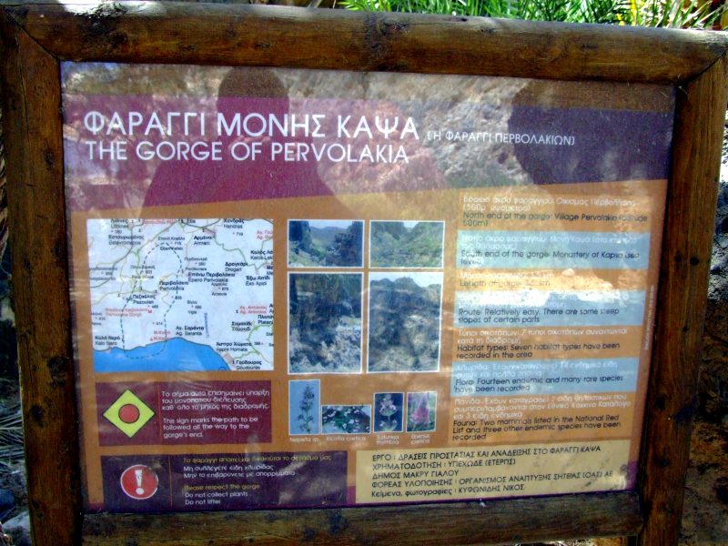
Finding such a good description, despite wearing sandals, I spontaneously decide to walk into the gorge, at least a bit.
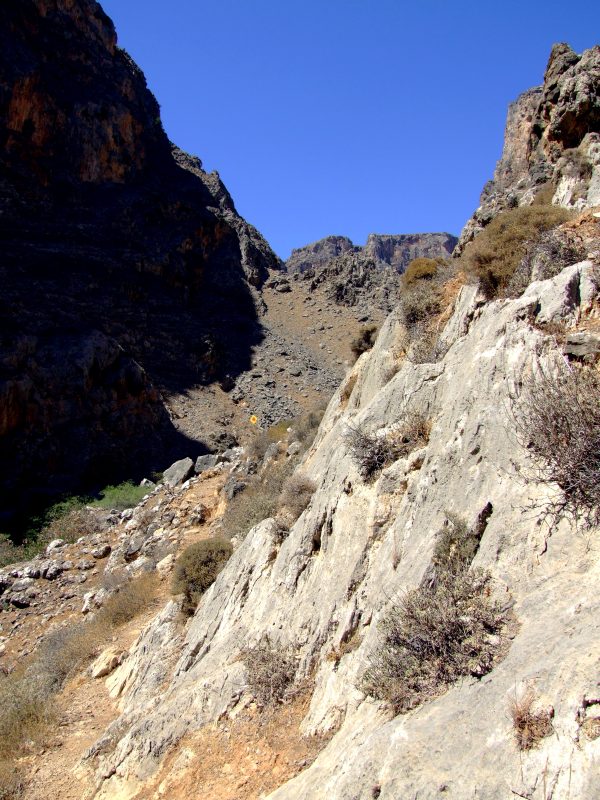
The path can easily be found ...
... and is additionally shown by yellow signs.
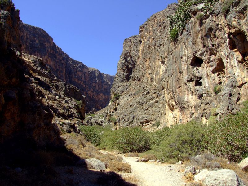
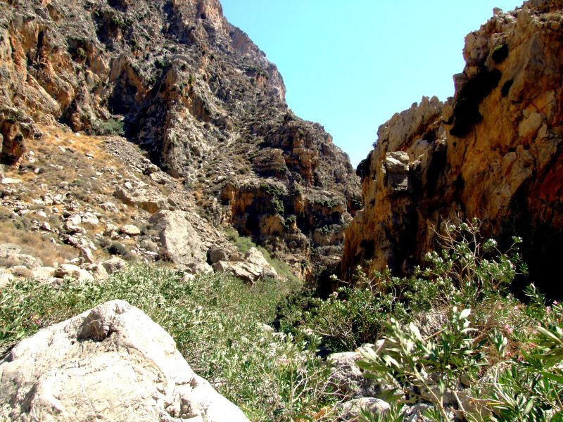
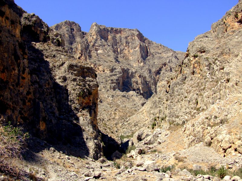
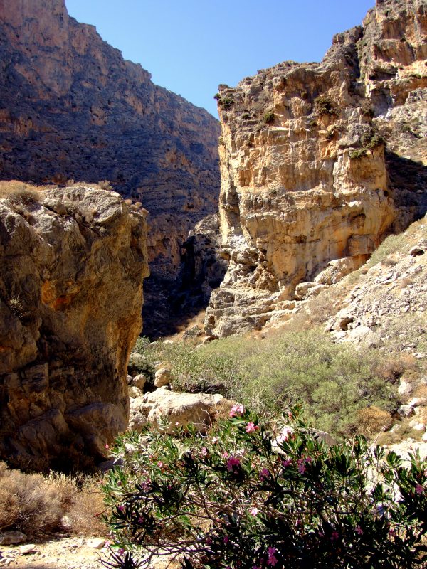
On the ground of the gorge wild Oleander is growing as well as numerous other plants not found on the dry slopes.
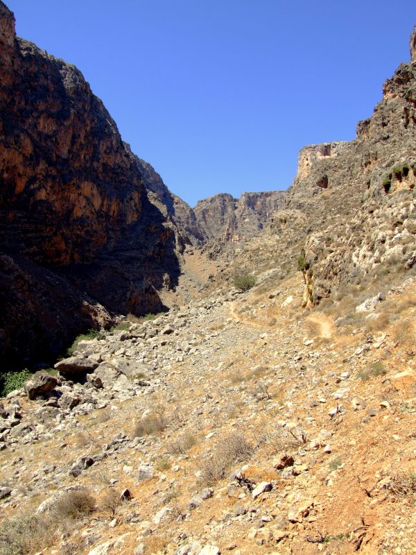
On both sides ...
... rock walls, several hundred metres high.
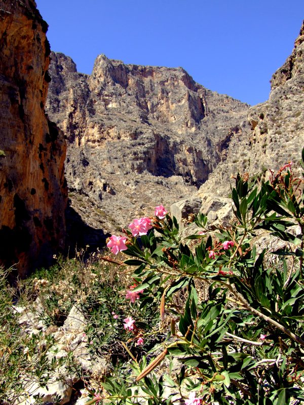
Oleander
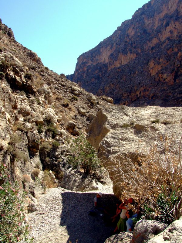
Only rare shadow ...
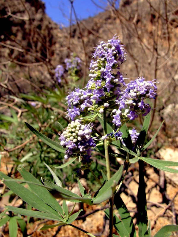
I can´t identify ...
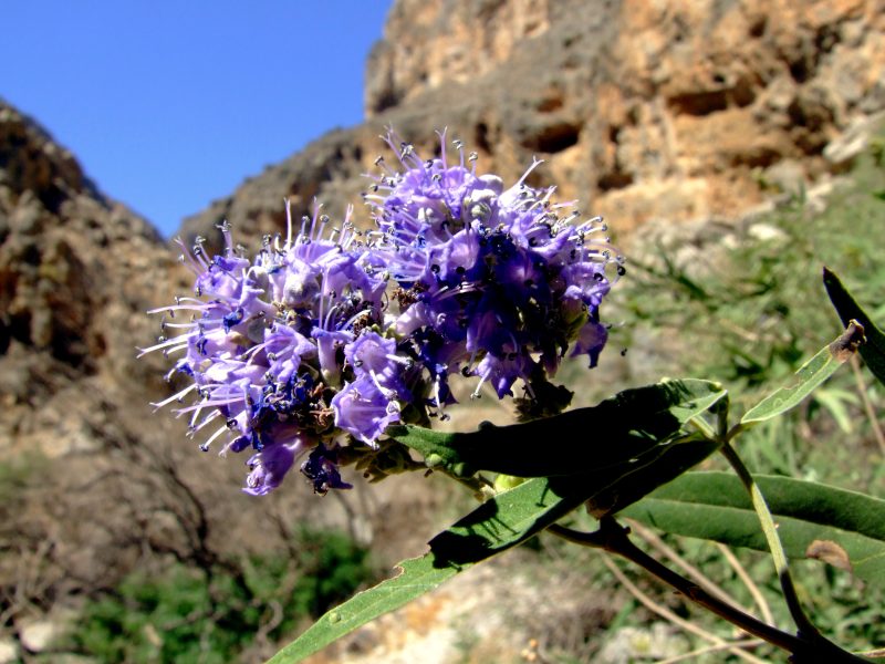
... this plant.
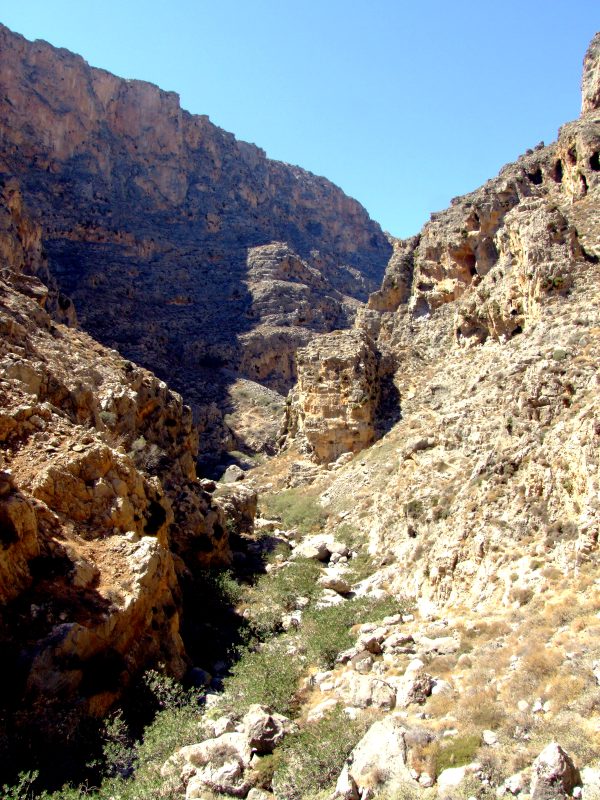
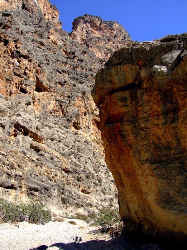
The gorge coils up in narrow curves.
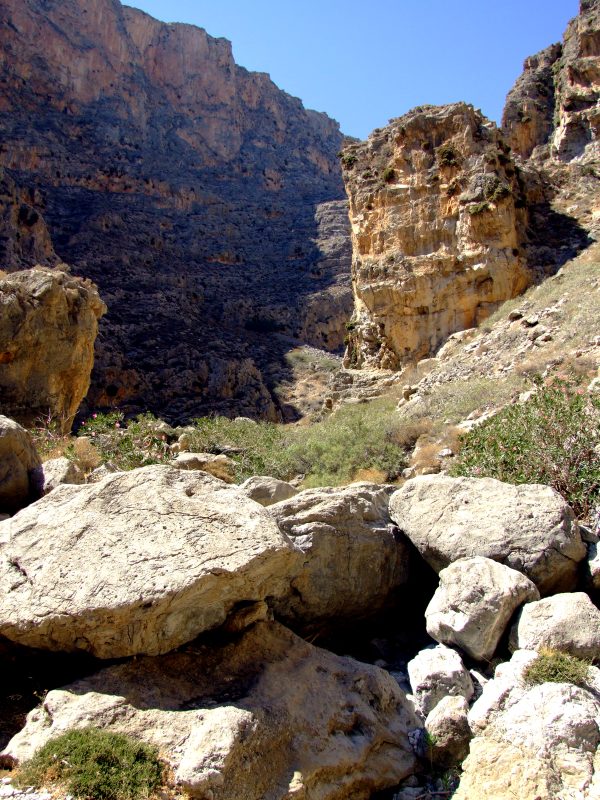
At times you have to scramble over big rocks.
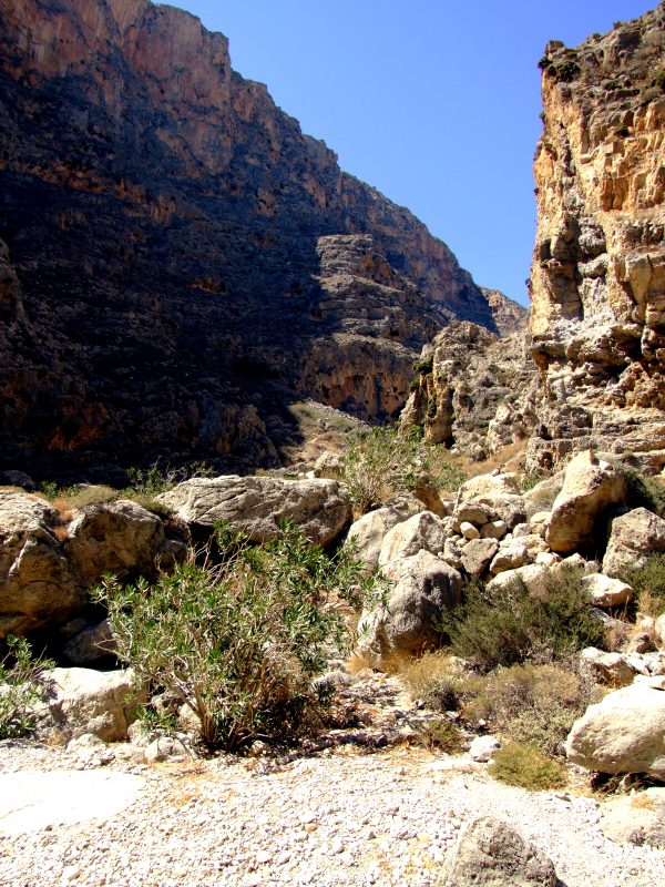
On the ground, the path repeatedly leads through the dry streambed. I suppose that in Winter you can´t walk here so easily.
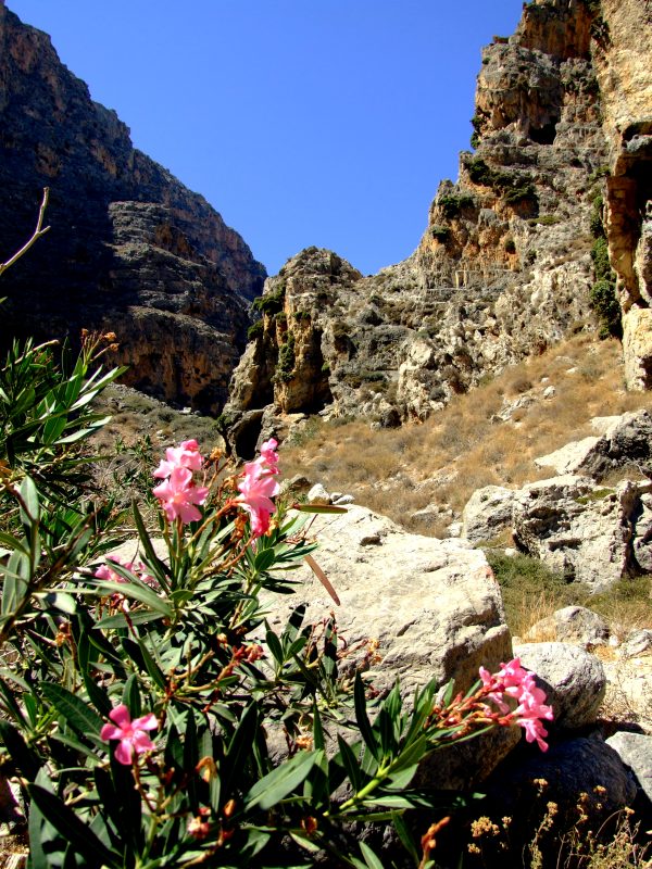
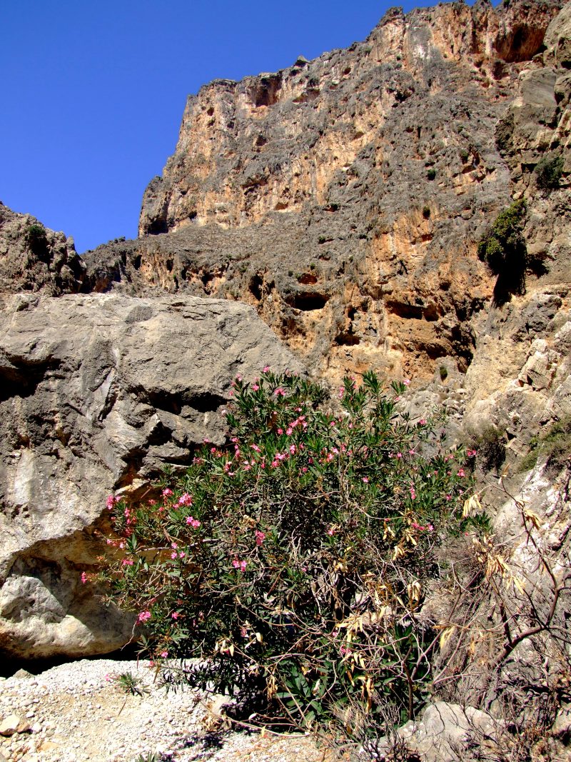
Oleander
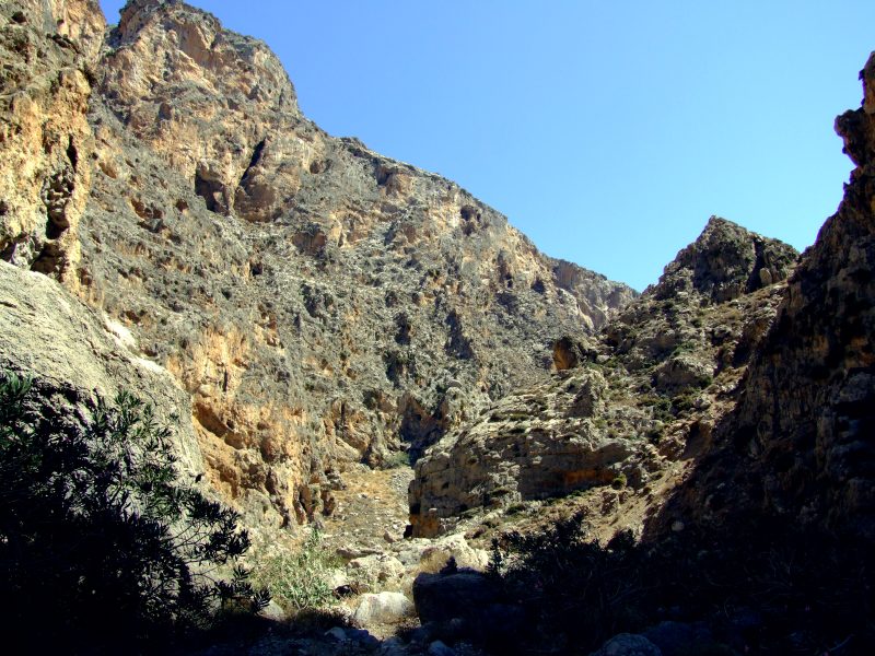
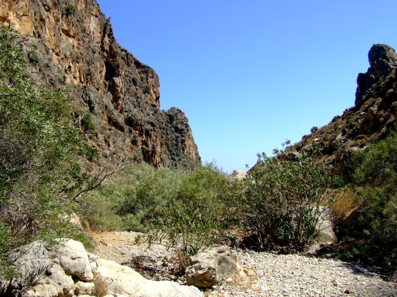
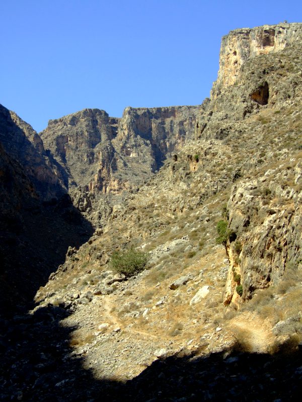
This high wall belongs to a mountain of 488 metres height, ...
... so the walls ...
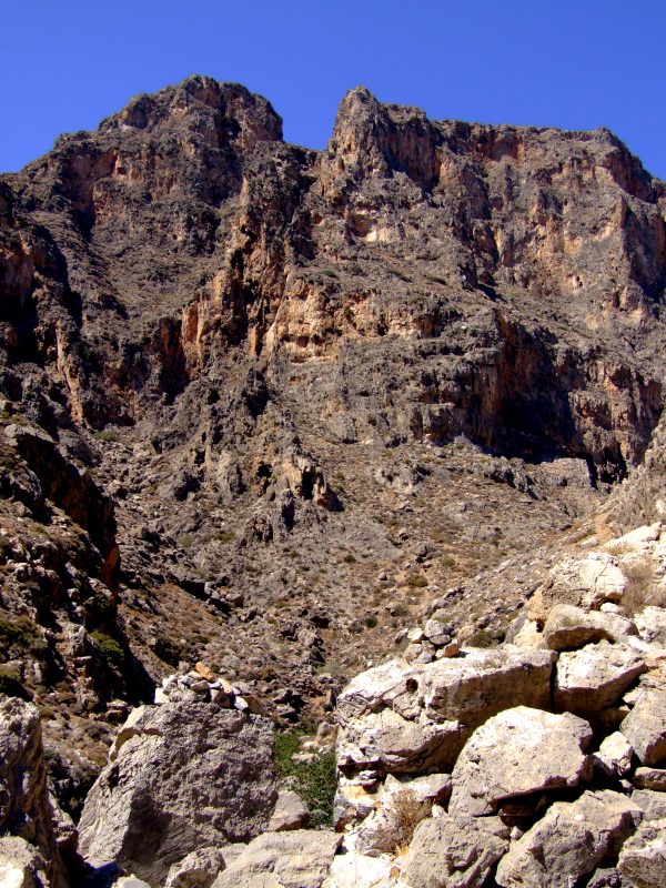
... should be at least 350 metres high. I turn back at this point, I have seen enough stunning scenery, and I don´t have enough time.
Back now on the same path.
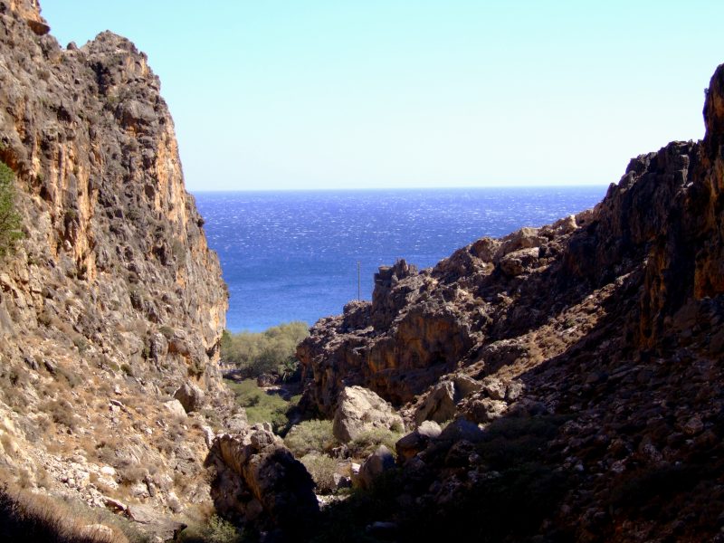
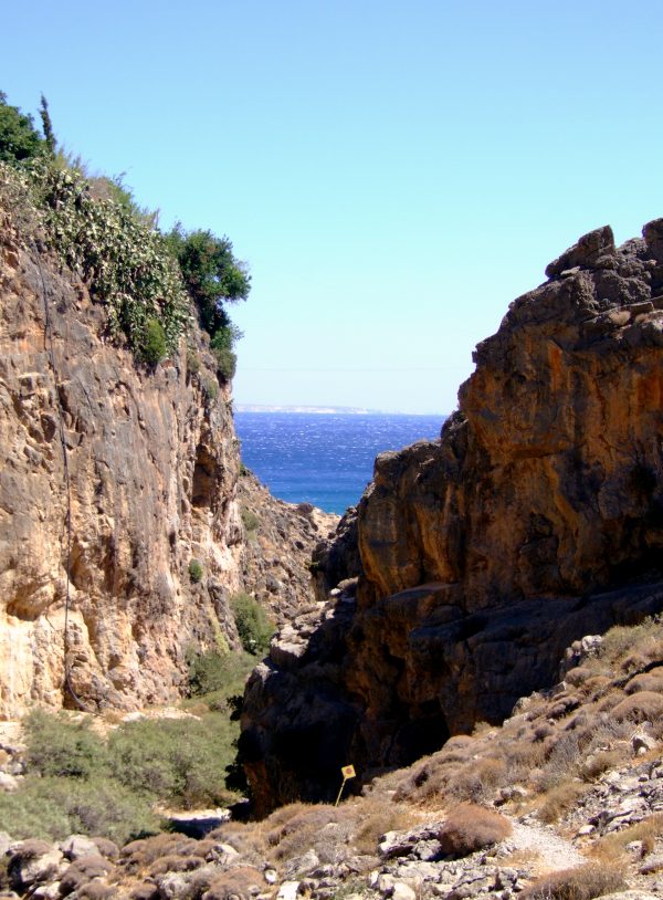
At least the exit ...
... of the gorge is in sight.
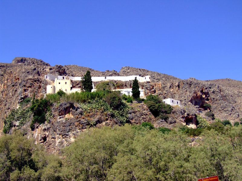
Once more Moni Kapsa on driving further
In the distance now Ghoudouras.
The ater of the cove is quite shallow, but crystal clear.
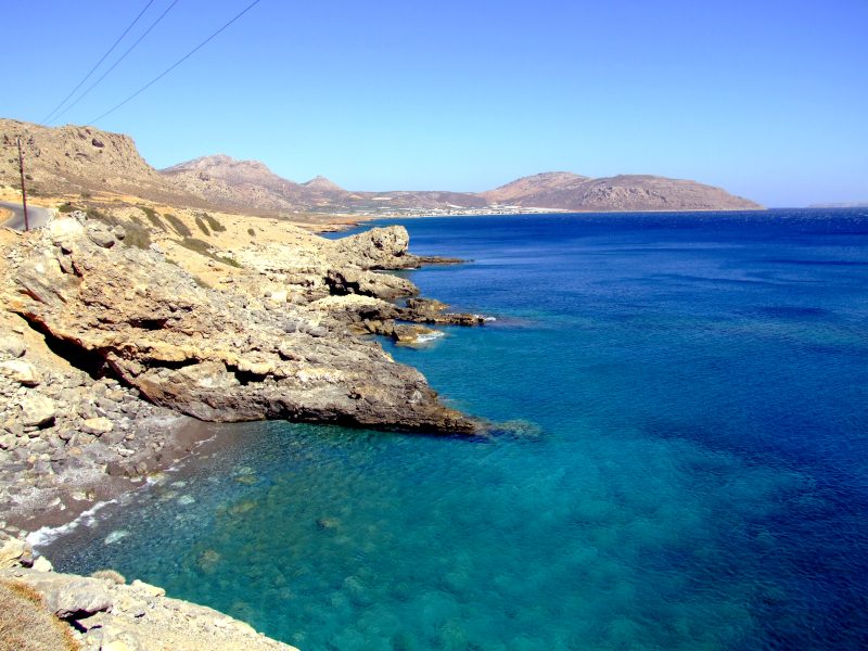
From Goudhouras the road winds up a hill. From there the view back where I have come. On the horizon far right still Afendis Stavramenos.
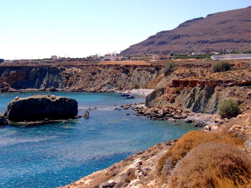
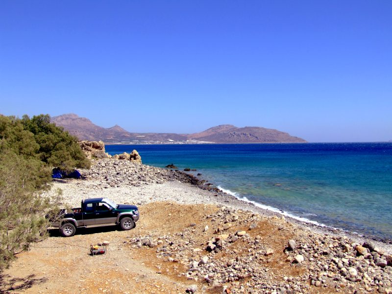
After the hill my map shows a short dead end - road to a remote beach. Of course I have to visit that beach.
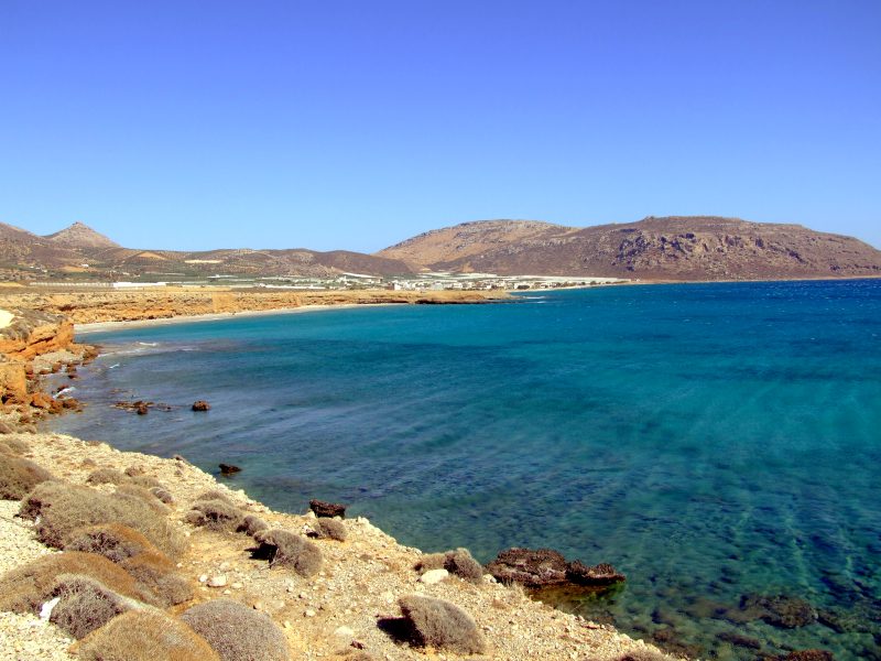
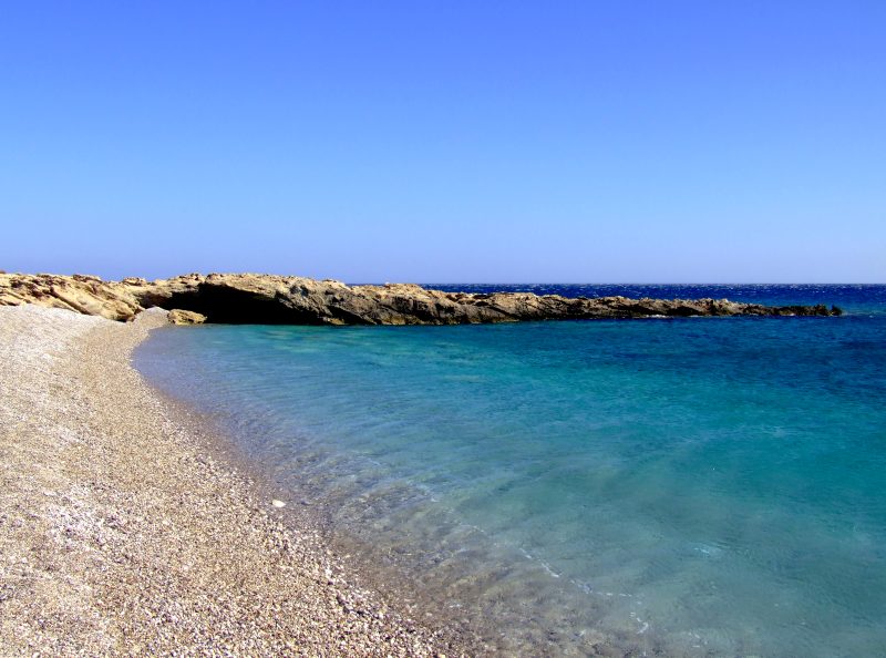
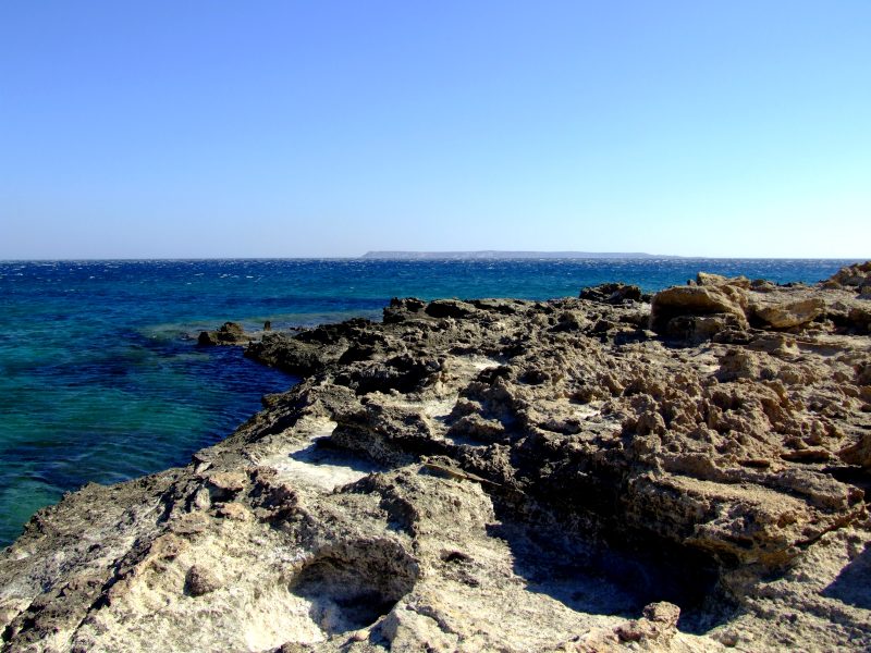
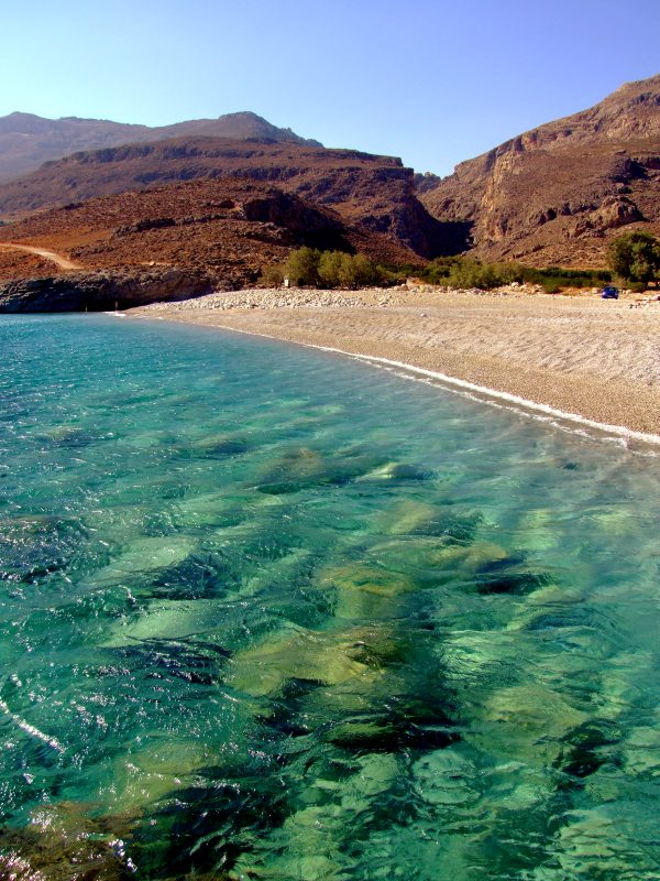
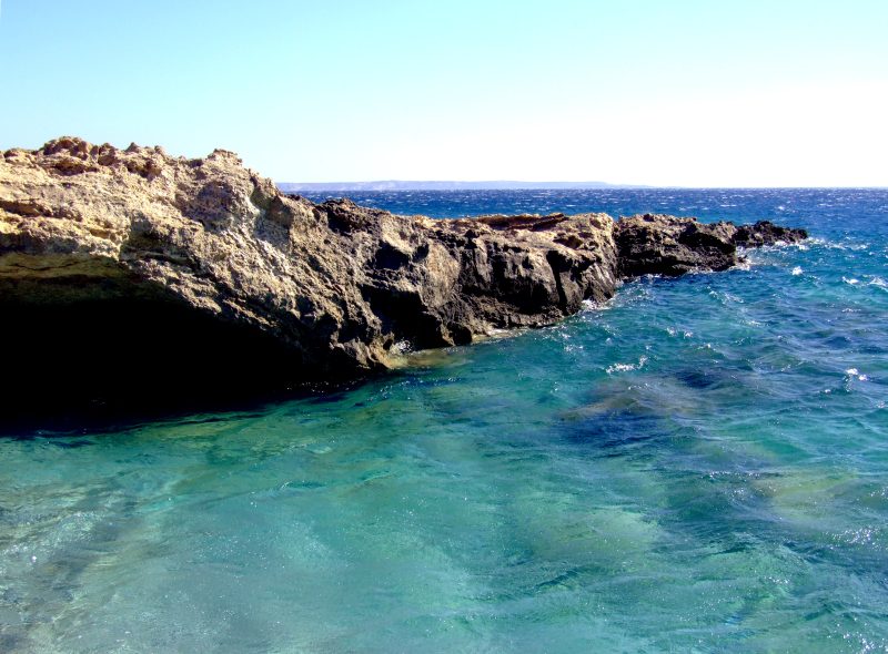
Interesting rock formations near a wonderful grit beach with crystal clear, turquoise green water.
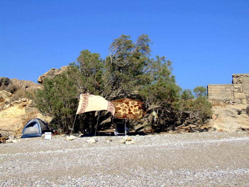
A few campers are living here.
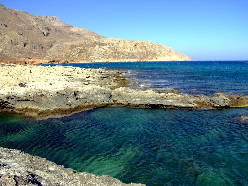
I walk a little bit over the rocks ...
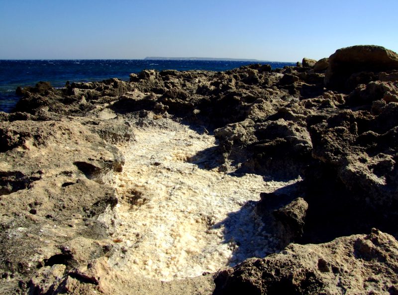
Here I find numerous dry sea water - puddles full of salt crystals, ...
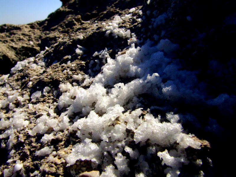
... partly looking like hoarfrost.
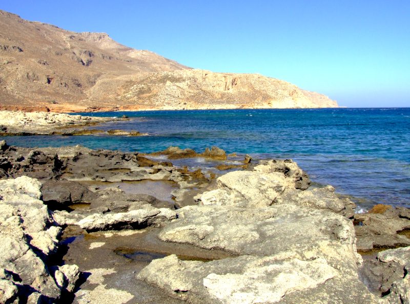
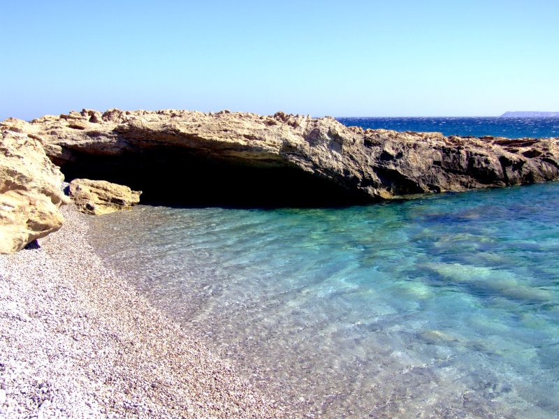
Also here there is ...
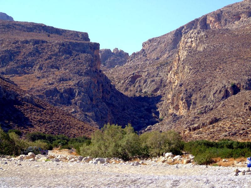
... a gorge behind the beach.
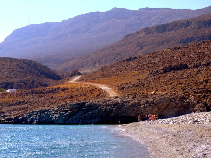
Some people have come here for bathing on this wonderful beach.
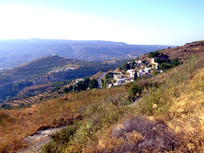
Driving further, up into the mountains to the rank plateau of Ziros.
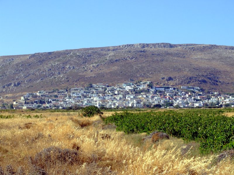
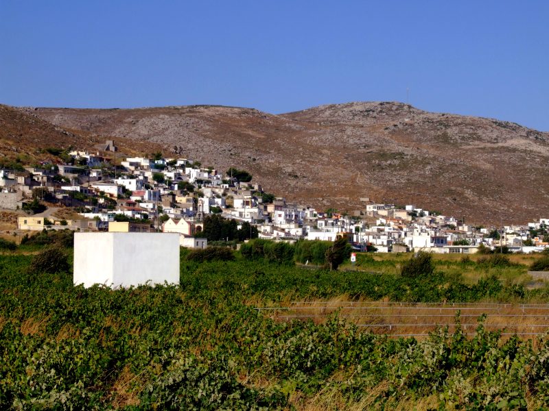
The village of Ziros is nuzzling to the slope at the outskirts of the plateau.
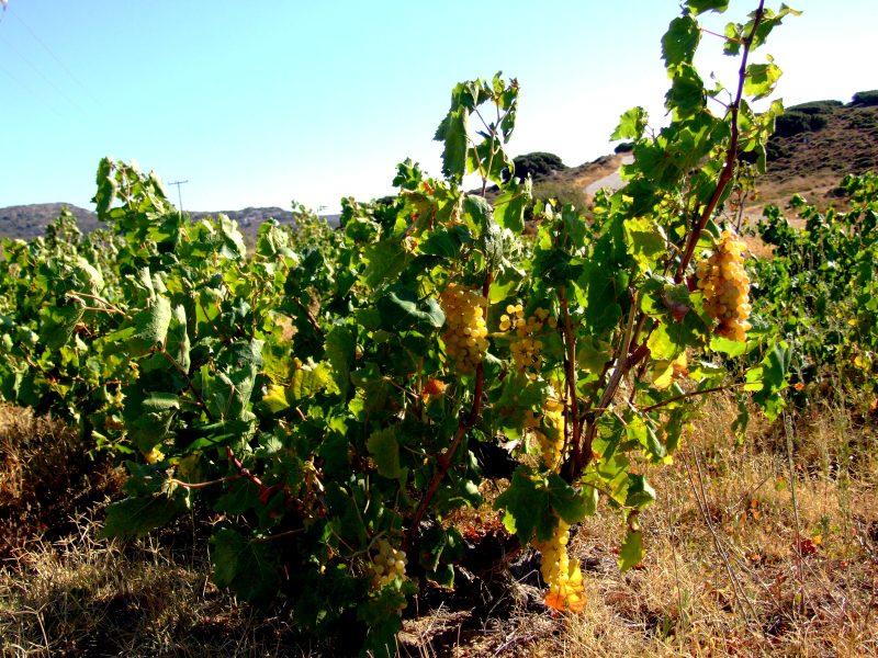
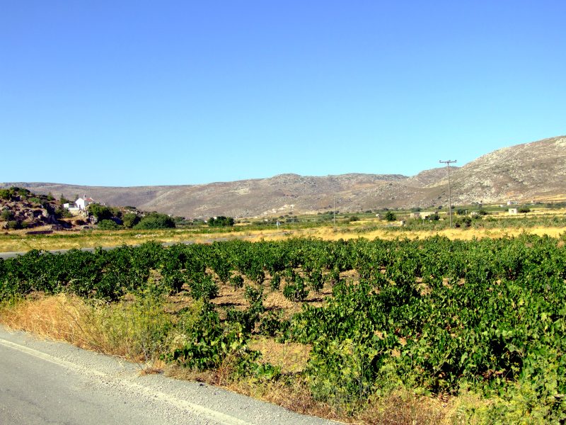
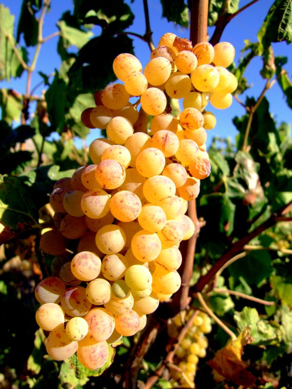
Numerous vineyards with nearly ripe grapes.
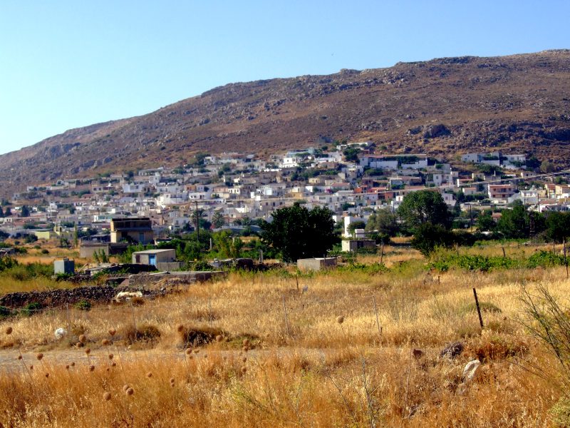
Ziros
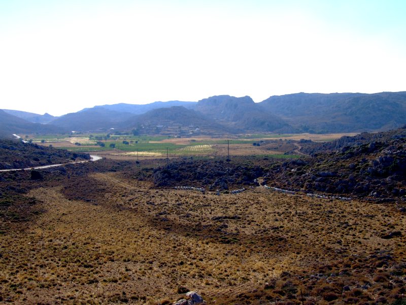
Ich have discovered a short dead end - road east of Ziros, leading up to nearly 800 metres above sea level. Driving there I meet another, smaller plateau ...
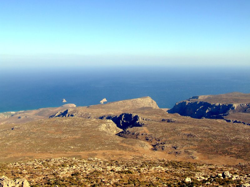
... and some military installments (no pictures, of course). The view fromo there goes to the east coast, the far eastern end of Crete. Somewhere down here there must be the small village of Xerokambos.
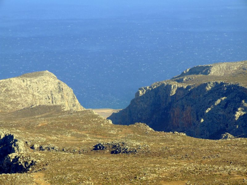
Gorges ...
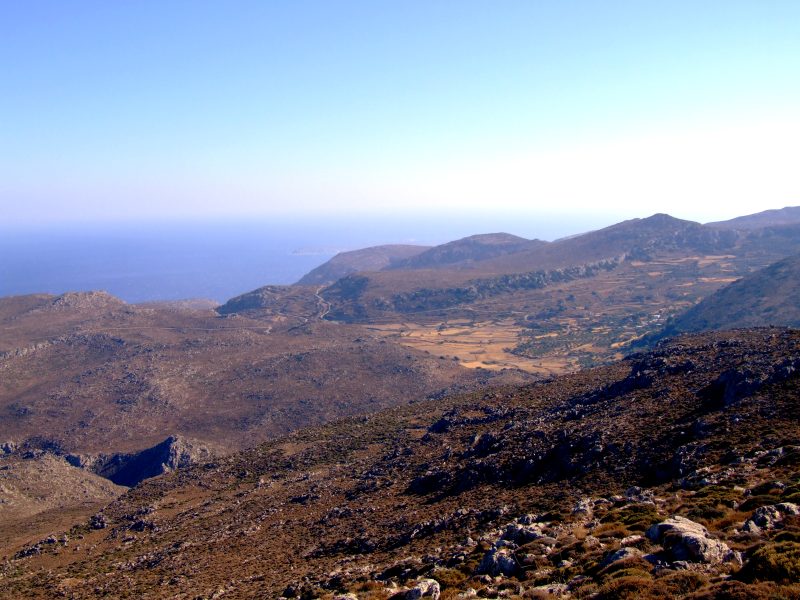
... and once more a small platreau.
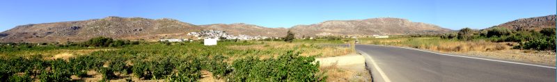
Back to Ziros. Driving further, I stop to take this panoramic view of the plateau of Ziros. Click into the picture for a larger version.
Zooming in on Ziros
Driving back through the mountain scenery, ...
... and back to the coast at Analipsi
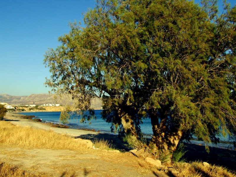
A few final pictures near Koutsouras, in evening light.