7.8.2010 - Kareck (2.481 m)
For two days (Thursday and Friday), the weather was rainy and cold. Thursday, we enjoyed the wellness area in the hotel, and Friday, we visitied the Haus der Natur in Salzburg. Today, the weather isn´t bright, but it seems to stay dry. So, after a lengthy breakfast at the hotel, I start at 11 a.m. to Kareck.
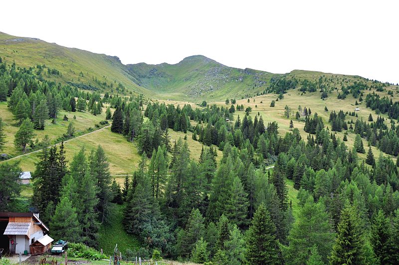
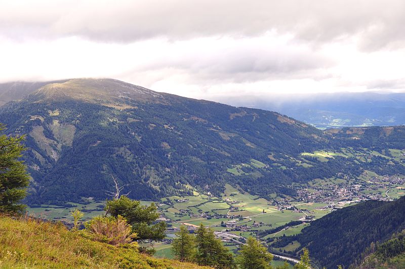
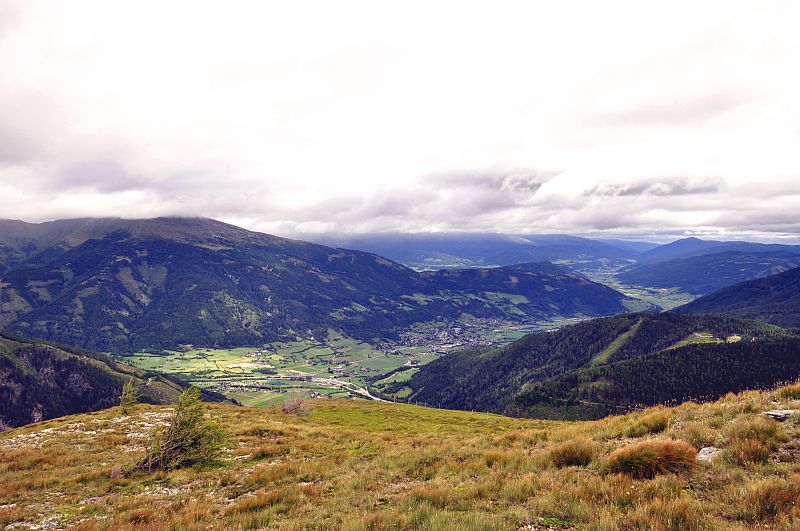
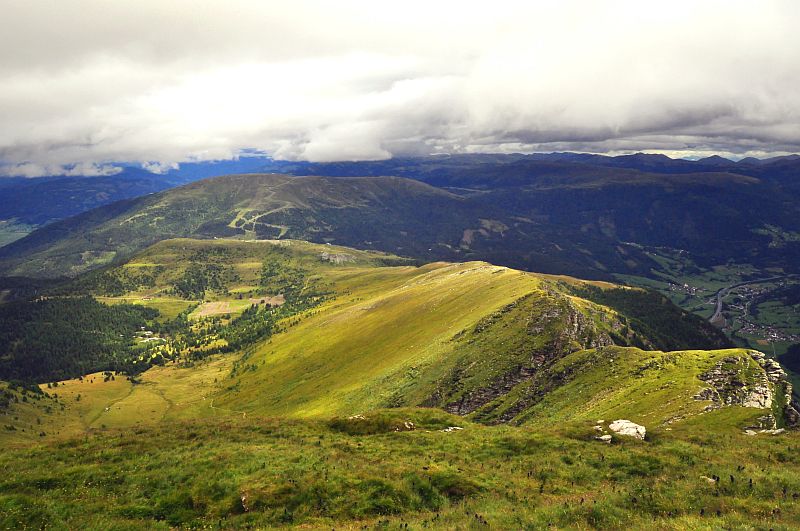
To approximate Kareck from the Katschberg, you first have to surround Tschaneck. The first 2 km can be done with the car, the rest has to be walked. View down to the hamlet of Unterweissburg.
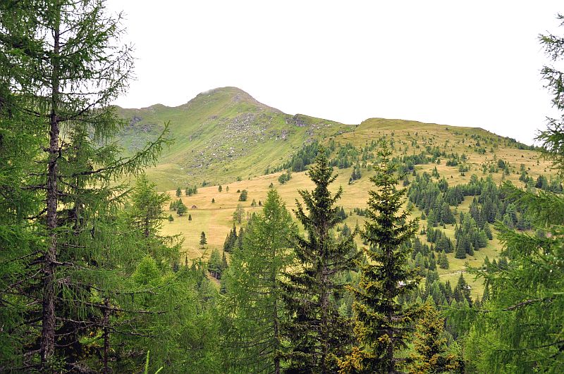
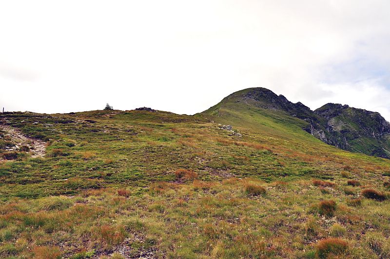
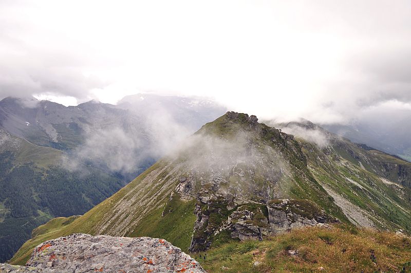
After about 20 minutes Kareck comes into sight.
After the Pritzhuette the view goes up over the Gon dale and to the summit.The further route is the left, ascending path, then crossing over to the right to the small huts. From here, it is a steady climb along the ridge to the summit. Due to a short rocky section on the left ridge, I take the descent down the steep grassy slopes directly to the valley, and back via Hansbauernhuette.
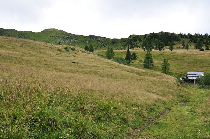
Near the small huts
View back to Tschaneck with Hansbauern hut, the Pritz hut is hidden in the forest beneath.
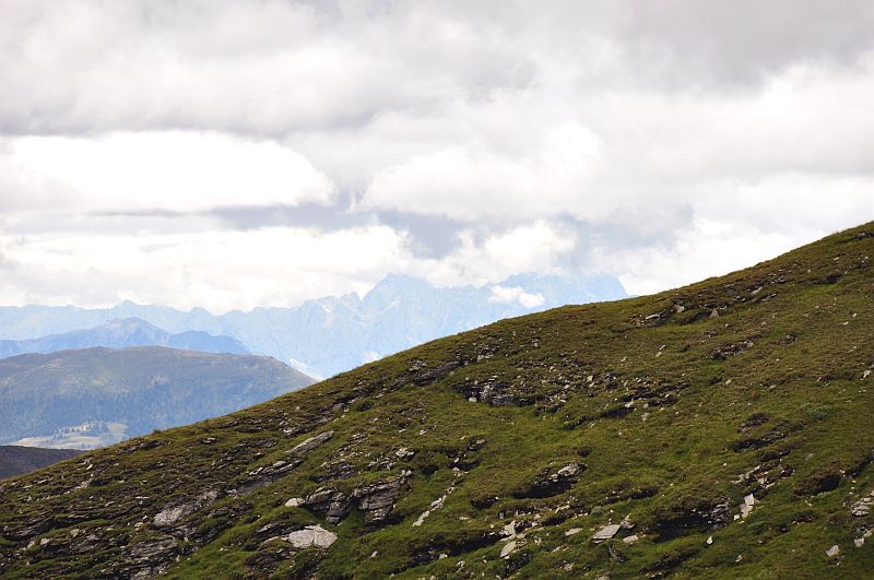
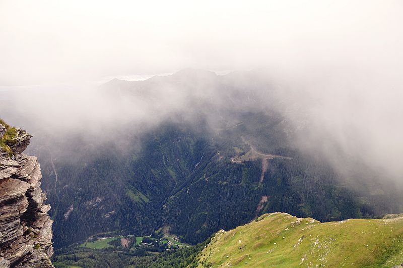
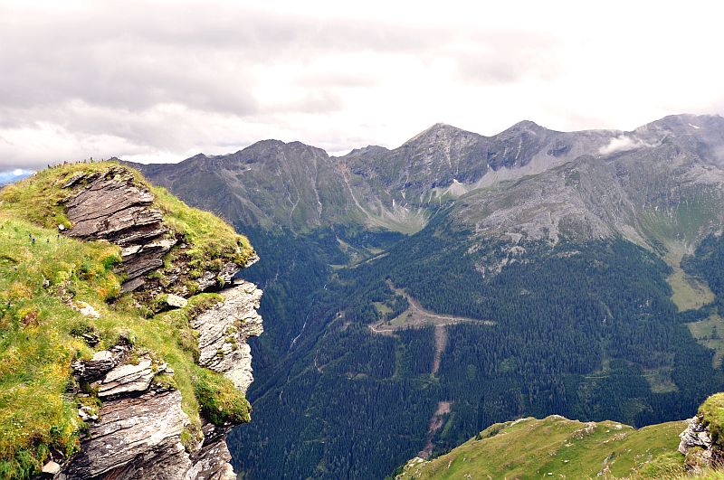
View over the Gon dale scar to the Nock mountains.
Speiereck and the A10 highway, to the right is St. Michael in Lungau.
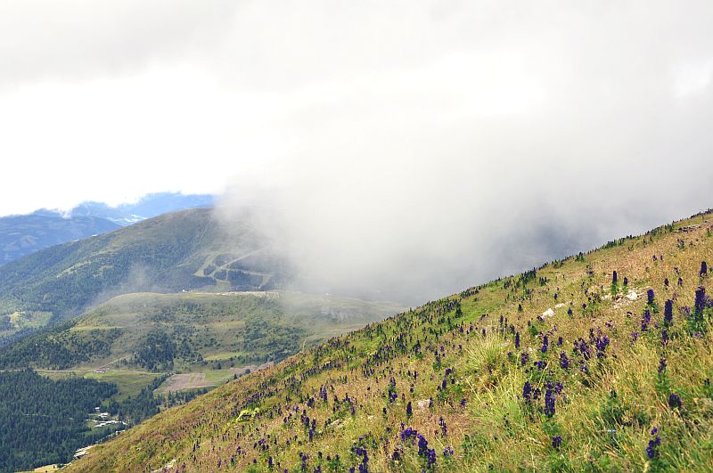
Now ascending along the northeastern ridge.
Zooming in to the summit - looking quite close, but it isn´t.
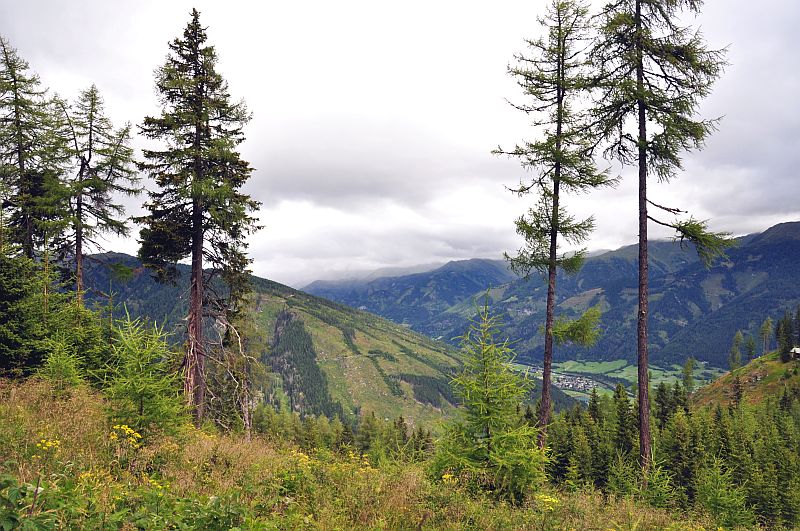
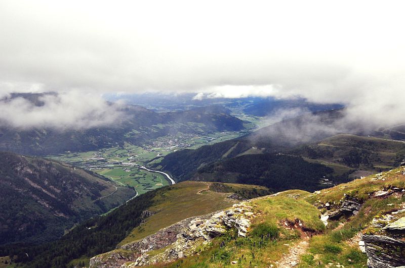
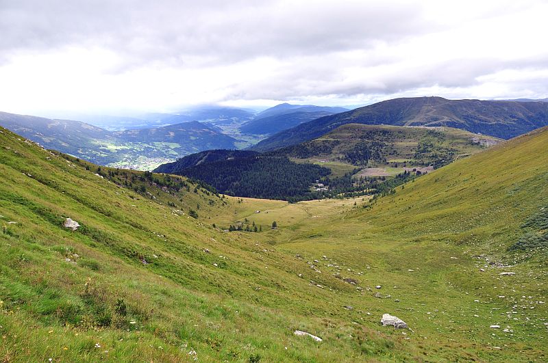
The upper Mur valley, where we have been 3 days before. Rain is hanging there constantly, whereas my area stays dry. This is a frequent situation - one of the reasons for the lots of water over there and for the offspring of the river Mur.
Speiereck and St. Michael from a bit more above.
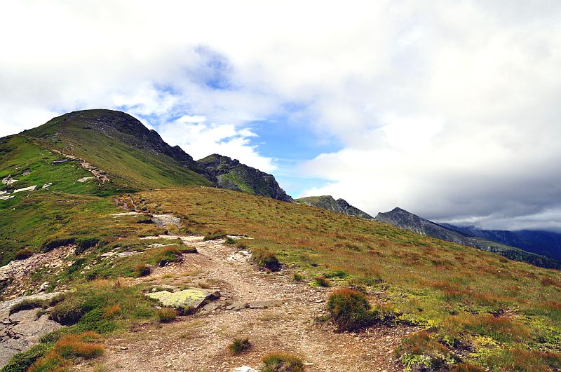
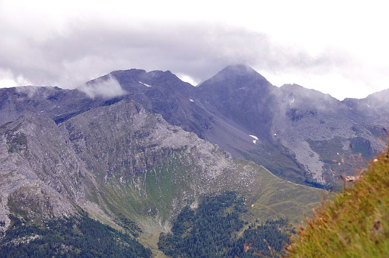
The summit is approaching, now the western ridge behind is visible, leading to Oblitzen (2.658 m), Silbereck (2.810 m) and Hafner (3.076 m) (the latter two not visible still).
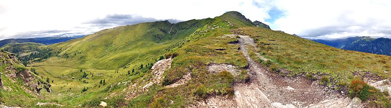
Panoramic picture from the northeastern ridge of Kareck - click here or into the picture for a larger version.
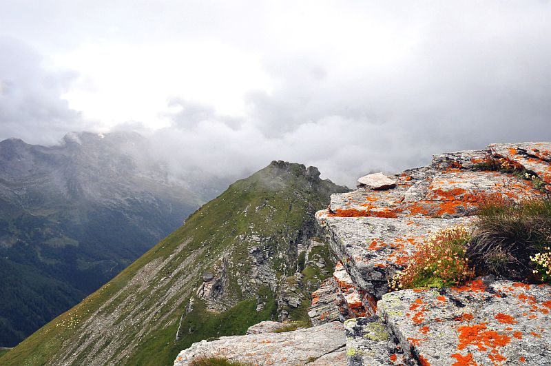
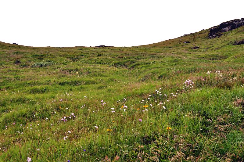
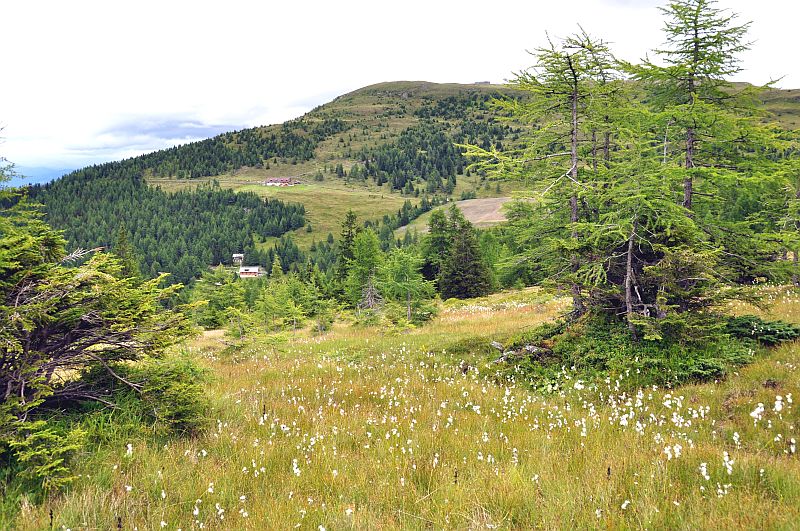
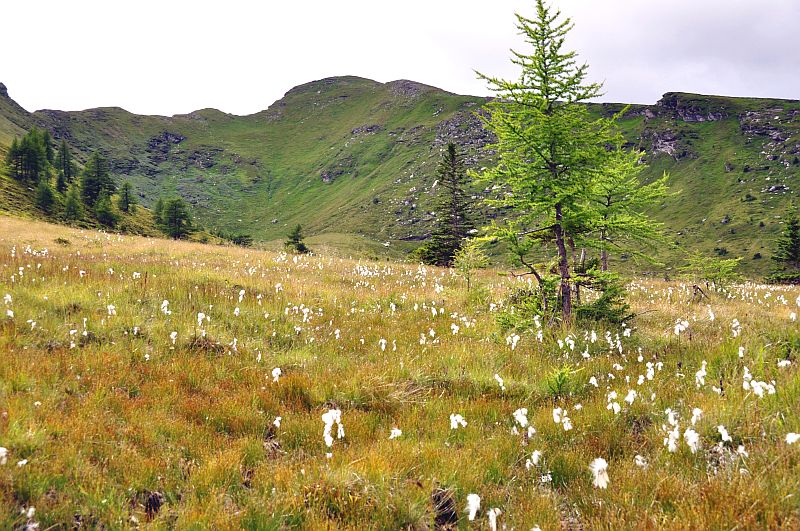
A small hollow on the ridge gives protected room for the vegetation ...
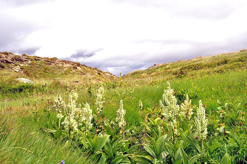
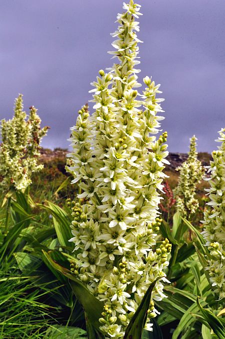
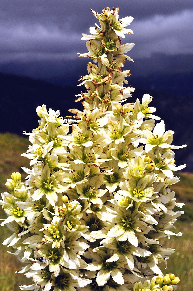
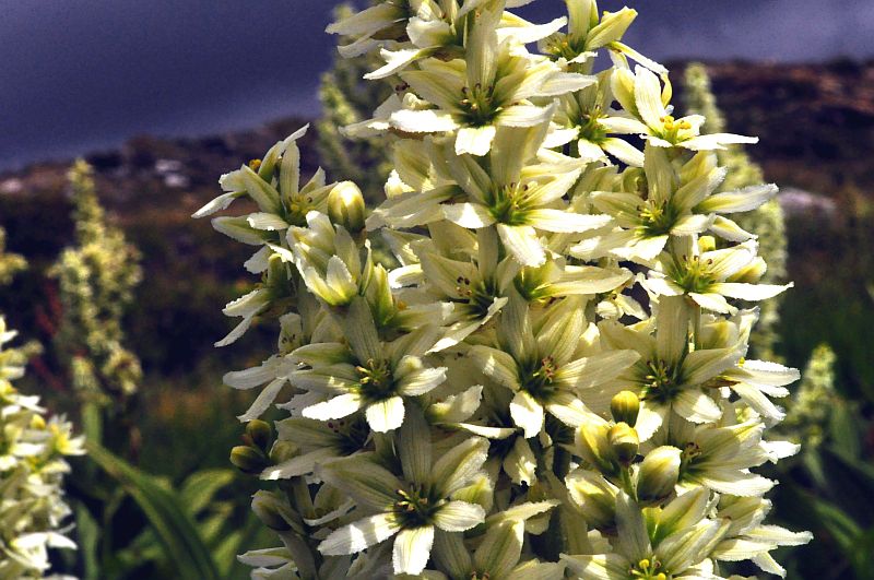
False helleborine (Veratrum album)
The sun comes out for a few minutes.

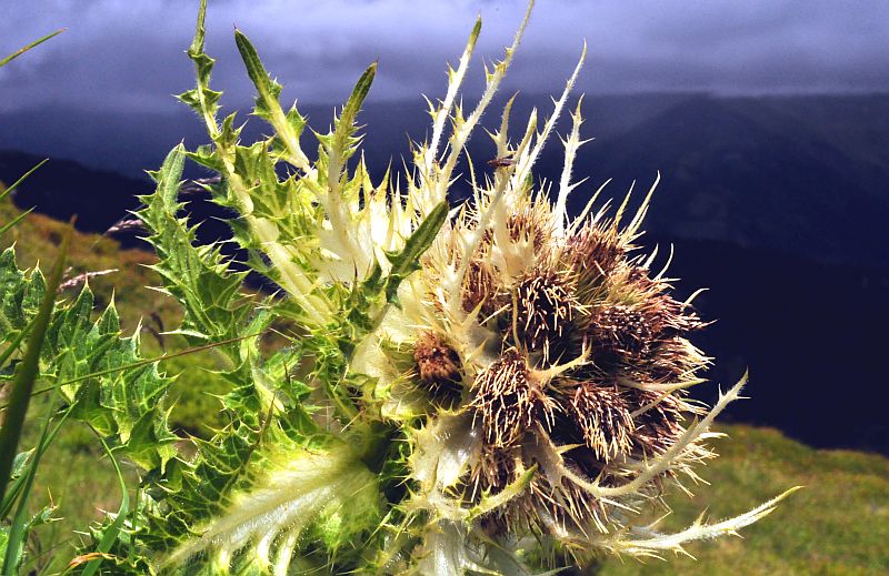
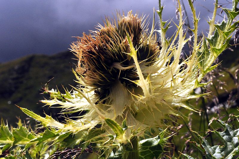
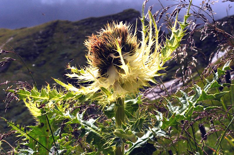
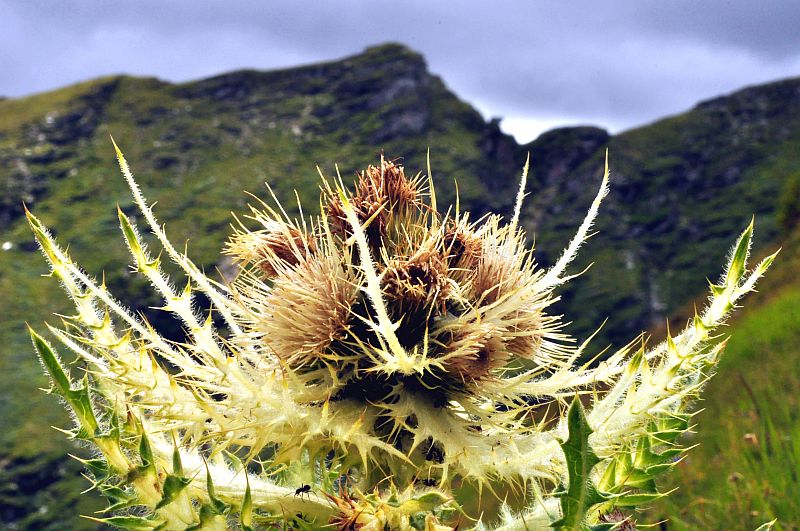
Alpen - Kratzdistel ( a thistle species)(Cirsium spinosissimum)
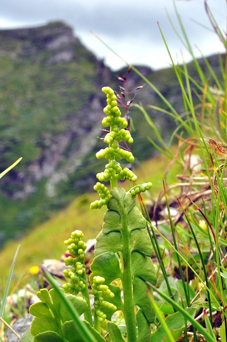
Common moonwort (Botrychium lunaria), a fern species.
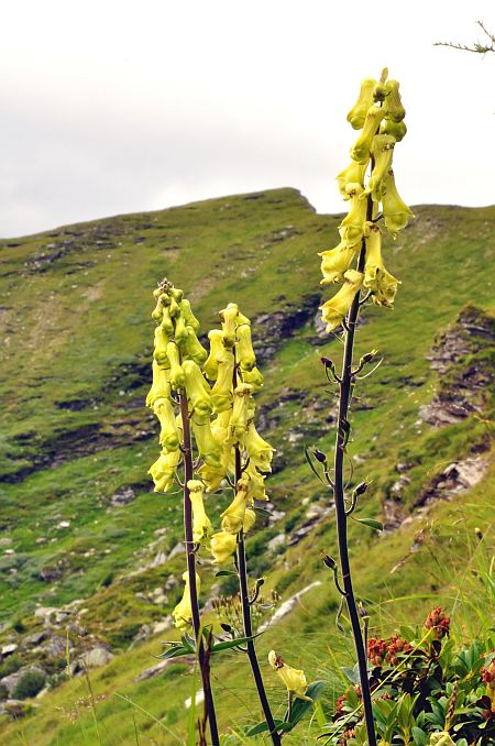
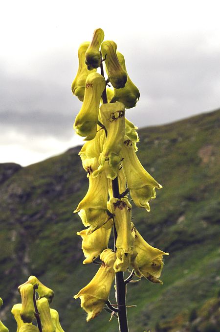
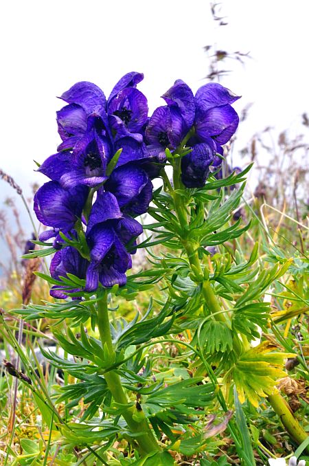
Northern wolfsbane (Aconitum lycoctonum)
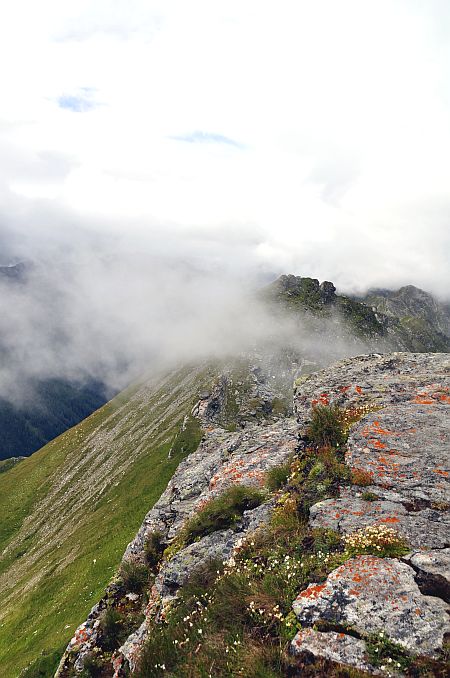
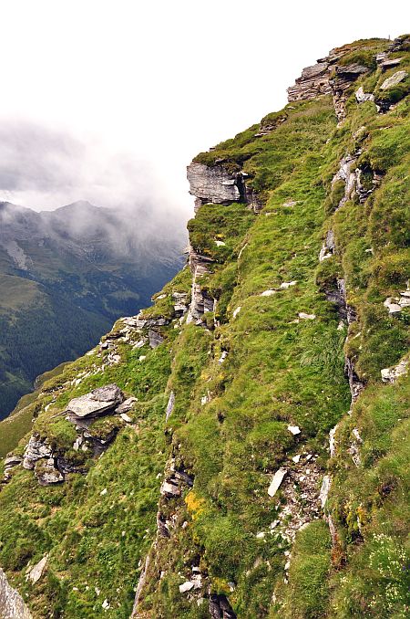
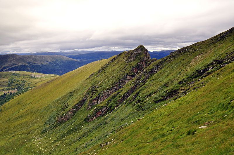
The southeaste ridge of Kareck has a sharp scar here which is a bit exposed. I do not want to do this alone (and moreover, I don´t want to to this with the left arm in a cast), so I shall prefer the Gon dale for my descent.
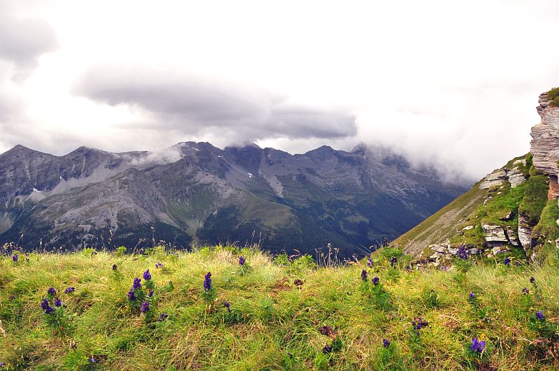
Looking south ...
... despite the overcast sky, the visibility is good - till the Karawanks.
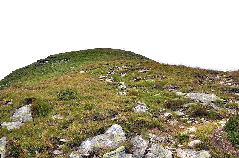
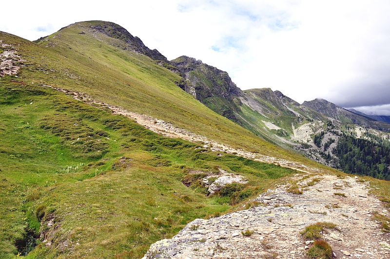
The summit still not close.

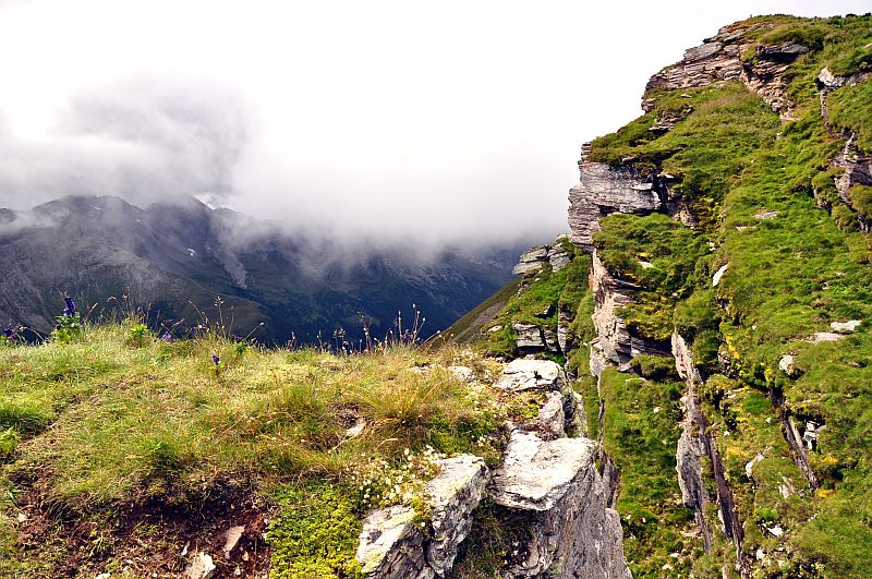
On the summit clouds are swirling around. ...
... changing visibility all the time.
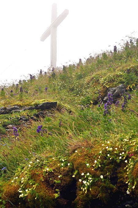
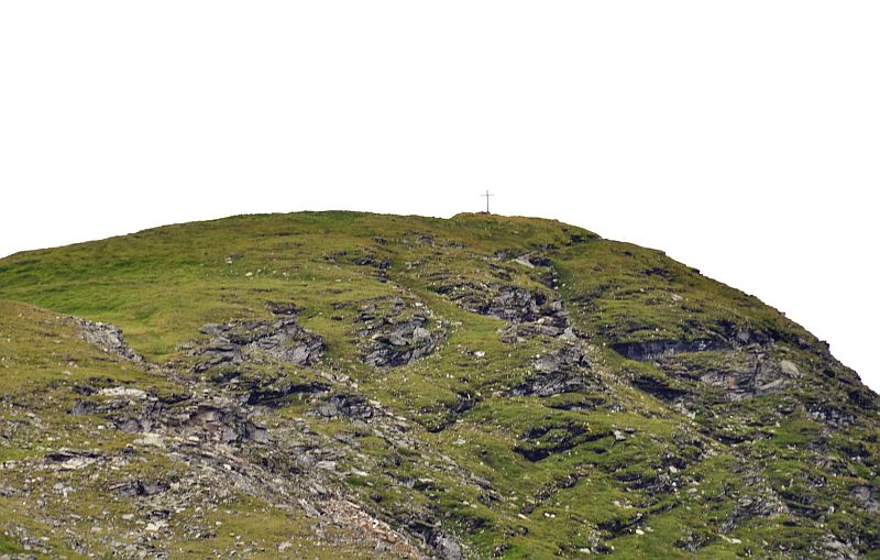
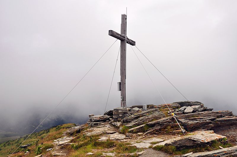
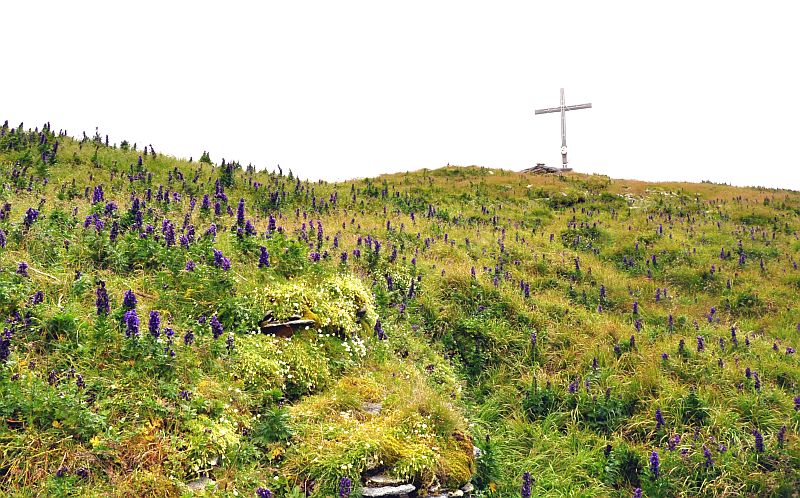
The summit cross.
View down from the summit into the Poella valley ...
... and along the western ridge - most of the other summits in clouds now.
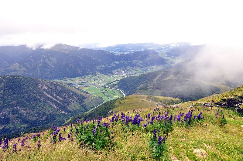
Looking down into the Mur valley.
The summit.
The western ridge.
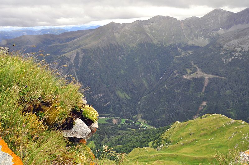
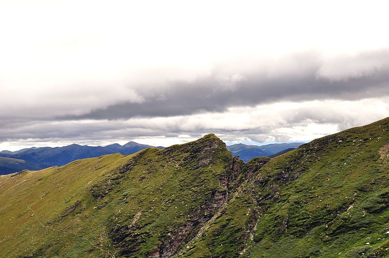
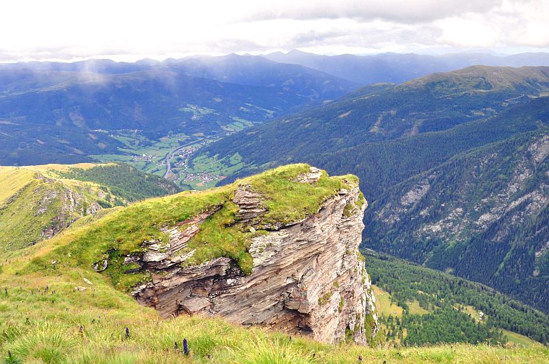
This side of the summit is extremely steep, with rocky escarpments.Poella valley, behind is Sternspitze (2.497 m), Wandspitze (2.623 m) and Reitereck (2.790 m)
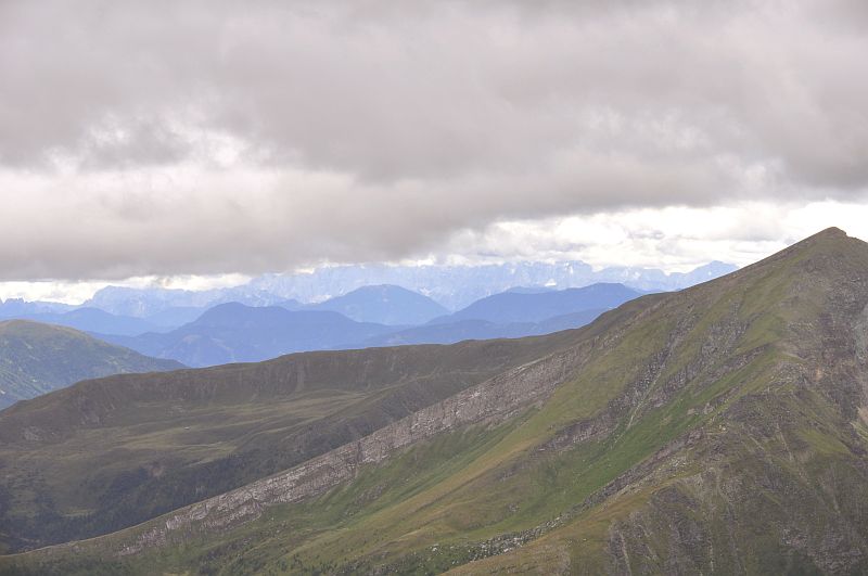
Once more the view to the Karawanken, far right is Sternspitze.
The western ridge.
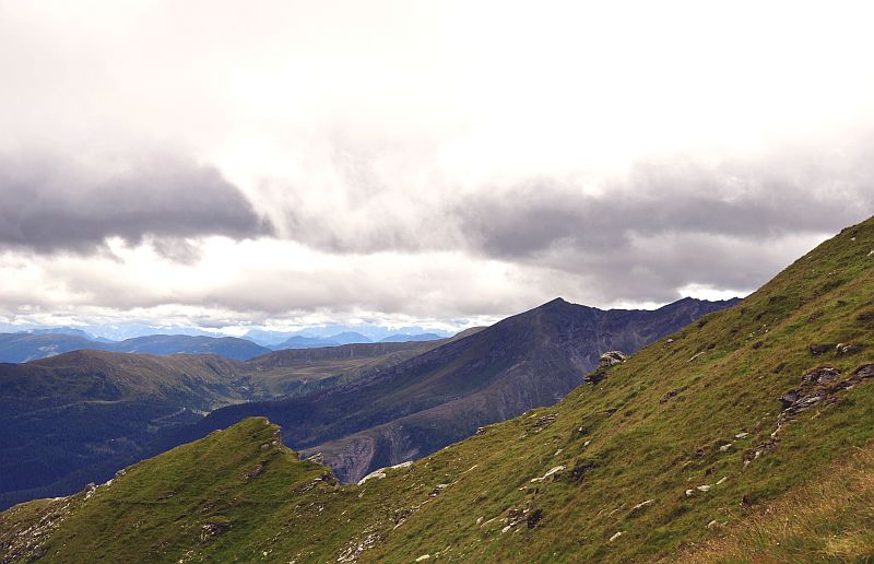
Clouds inhibit the view to Aineck.
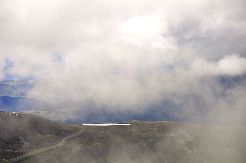
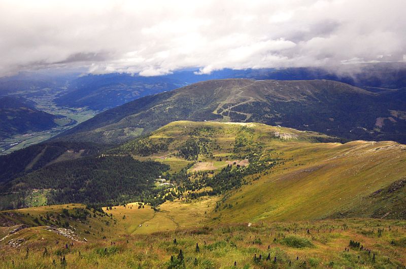
Now, Aineck is visible - with the artificial lake on the summit plateau.
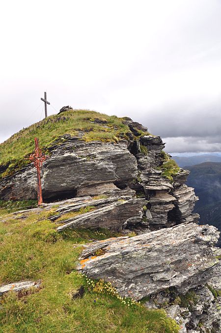
Rocks on the summit of Kareck
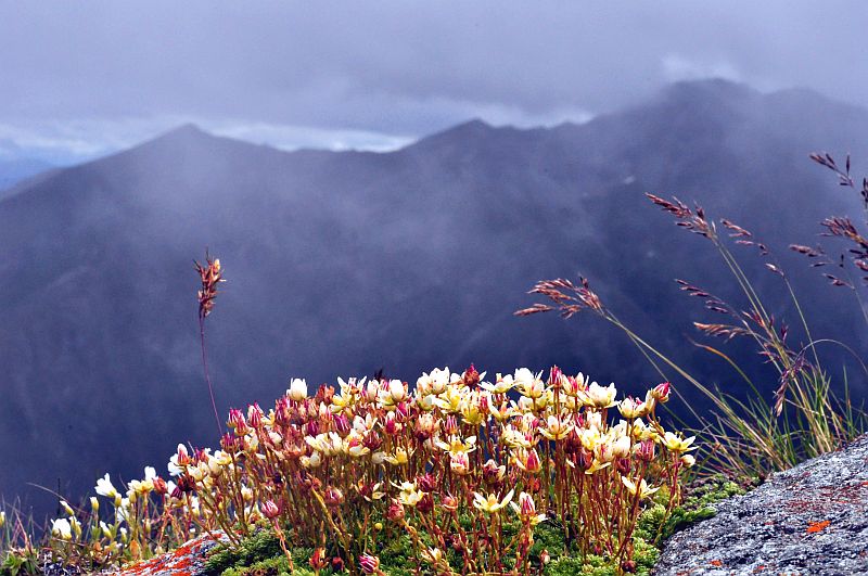
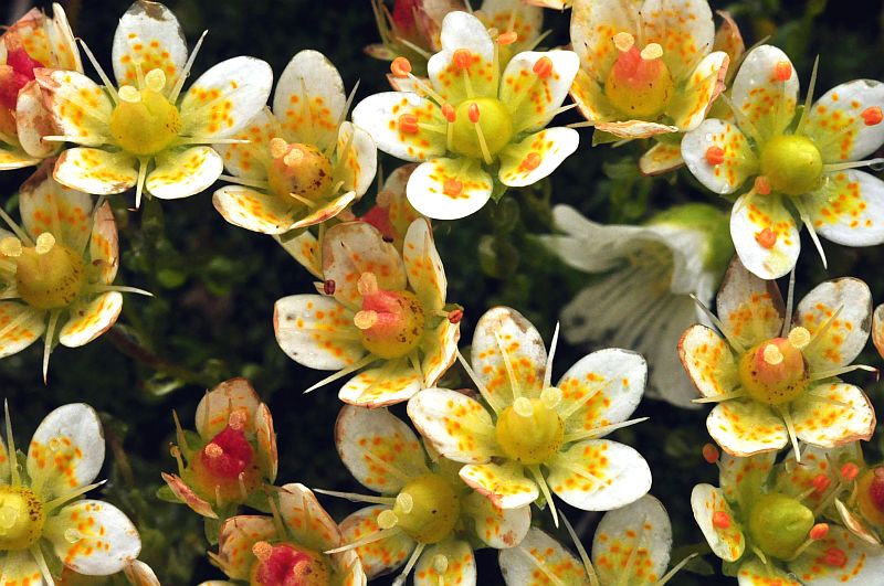
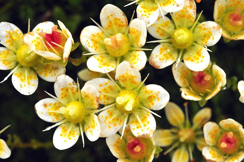
Moss - saxifrage (Saxifraga bryoides) is growing here in crevices.
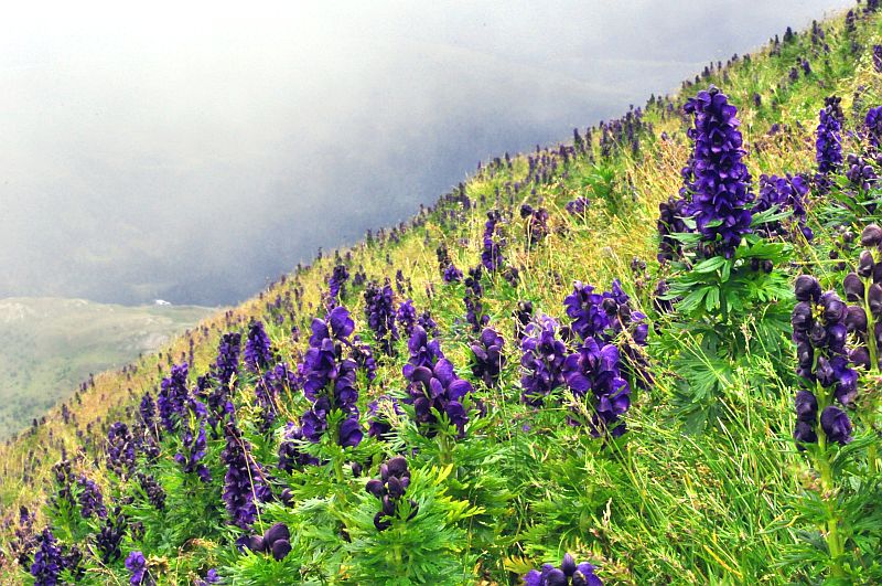
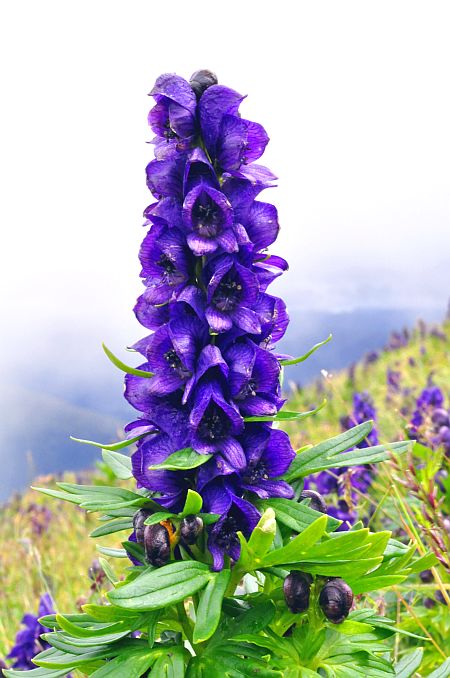
Lots of Wolf´s bane (Aconitum napellus) on the summit slopes of Kareck.
Descending now, at first a small bit along the southeastern ridge
View down to the Gon dale where I am heading for.
The rocky southern flanks of Kareck
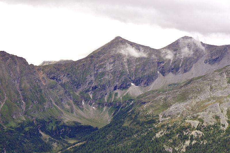
Reitereck far left, in the centre is Schober Eissig (2.967 m), the summit of which is nearly clear now.
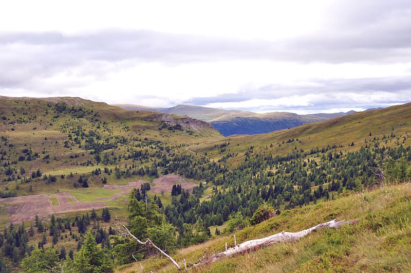
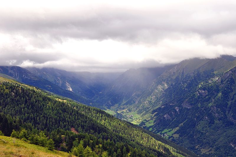
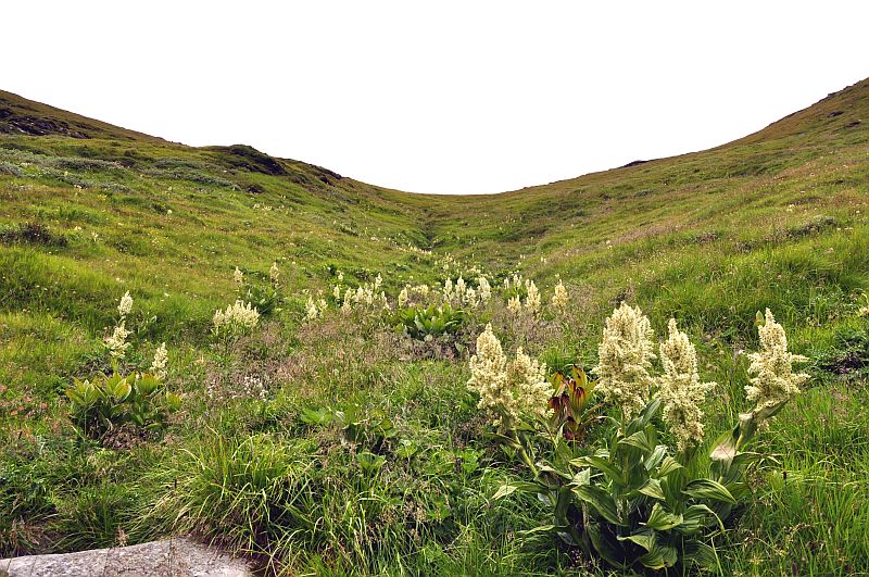
Gon valley.
Reitereck - from this side the ascent is rocky and difficult - so I choose the other side on my walk on 9.8.2010.
Seemanswand and Schober, the latter now nearly free.
Now descending down to the Gon dale on extremely steep grassy slopes. Not difficult, but dangerous, and not good on wet days.
View back up.
A bit down now.
Nearly down to valley level.
In the valley the descent is not as steep.
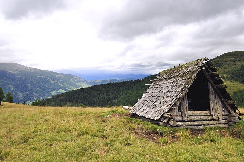
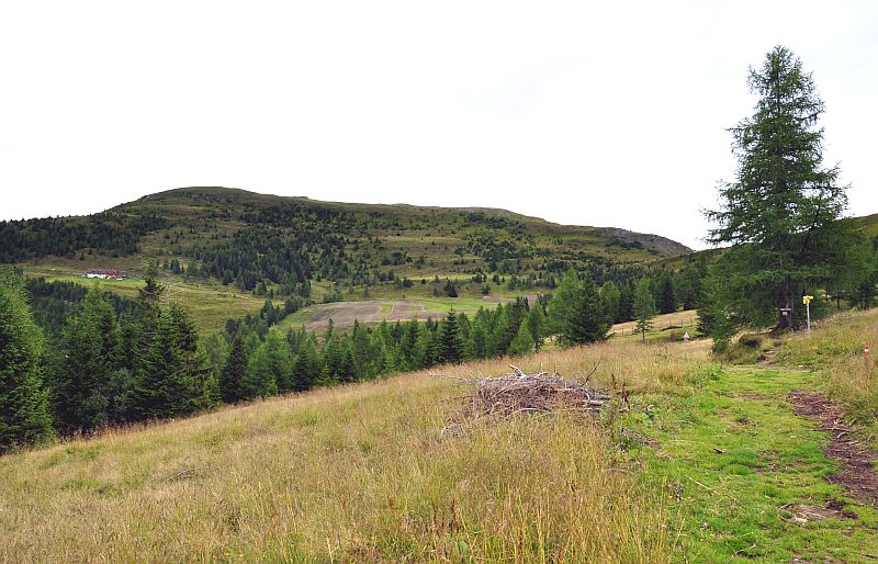
Disused hay barn
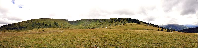
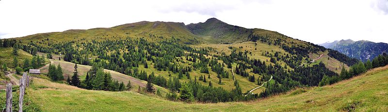
Panoramic view of the Gon dale with Kareck - click here or inside the picture for a larger version.
Pritz hut (down) and Hansbauern hut (above), as seen from the Gon valley.
Gon dale and Kareck
Panoramic view of Gon dale as seen from Hansbauern hut.