Aineck 2.8.2010
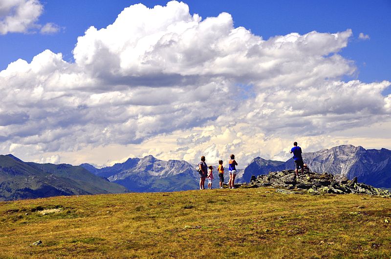
After a slow start from home at about 10 a.m. we arrived after a three hour´s drive at the hotel on Katschberg. The weather is very nice and extremely clear, for tomorrow there is rain precast, and the Aineck - cablecar is in operation. So we just shortly put the luggage into the room and go to the cable car on Aineck (2.210 m).
Shortly after the start the view is widening to the Lungau ...
... and to Carinthia.
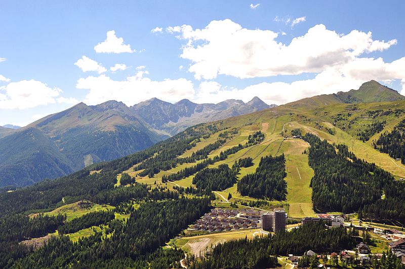
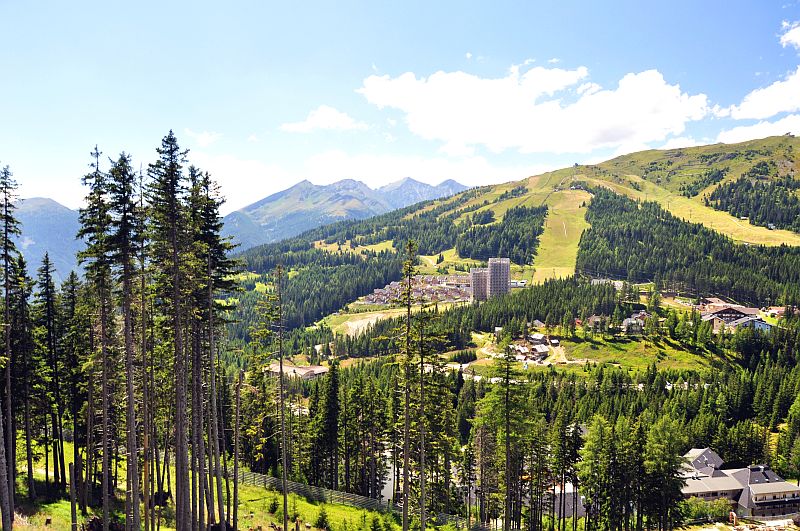
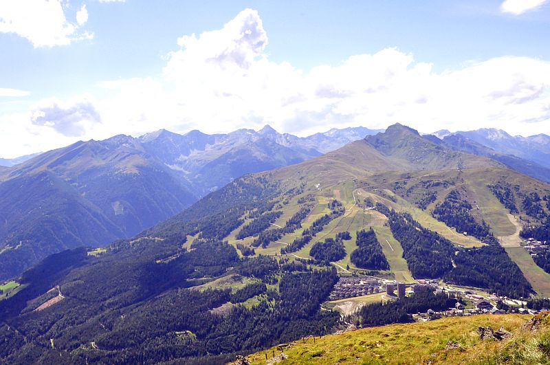
In the foreground the hotel village and the skiiing areas, our hotel not visible though. In the mountain ridge in the background, the third summit from the left is the flat pyramide of Reitereck (2.792 m), which I ascended on 9.8. The prominent pyramide on the right end of the ridge is Schober - Eissig (2.967 m), which I could not manage to climb this time. In the forground far right is Kareck (2.481 m), that I happened to climb on 7.8.
View over the Lungau to the Niedere Tauern.
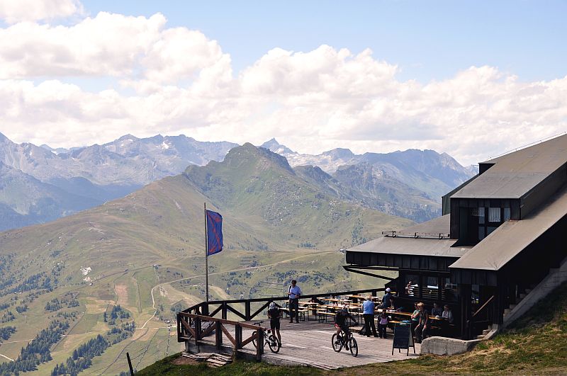
"Adlerhorst", the mountain/skiing hut on the summit of Aineck.
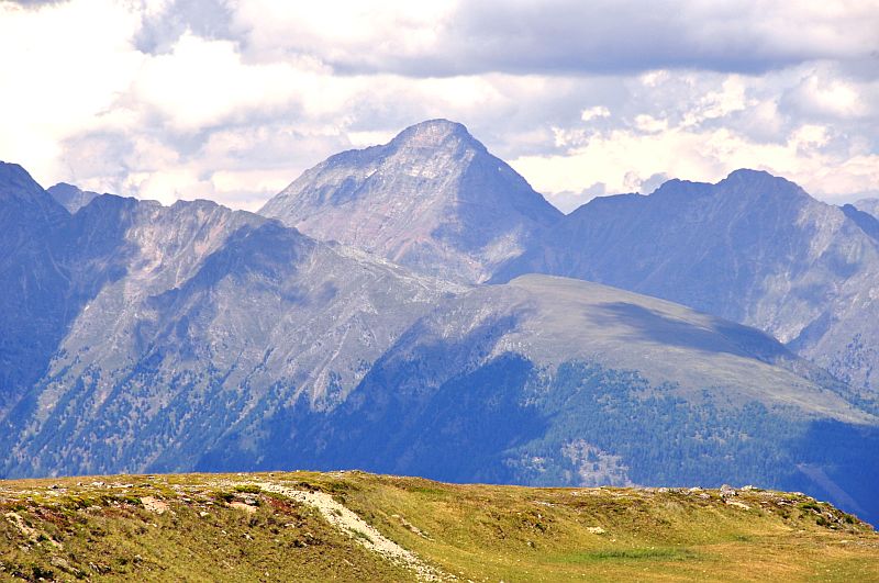
Viewing to the west: Kareck, behind to the right the sharp summit of the Great Hafner (3.076 m).
Viewing over the large summit plateau of Aineck over the Lungau to the Niedere Tauern.
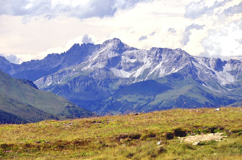
The prominent summit in the centre is Hochgolling, with 2.862 m a large bit higher than all the other mountains of Niedere Tauern.
Zooming in on Hochgolling. To its right is Steinkareck (2.637 m) and Weisshöhe (2.659 m), followed by the prominent summit of Kasereck (2.740 m).
Hochgolling. This summit is more than 100 m higher than all the other summits around.
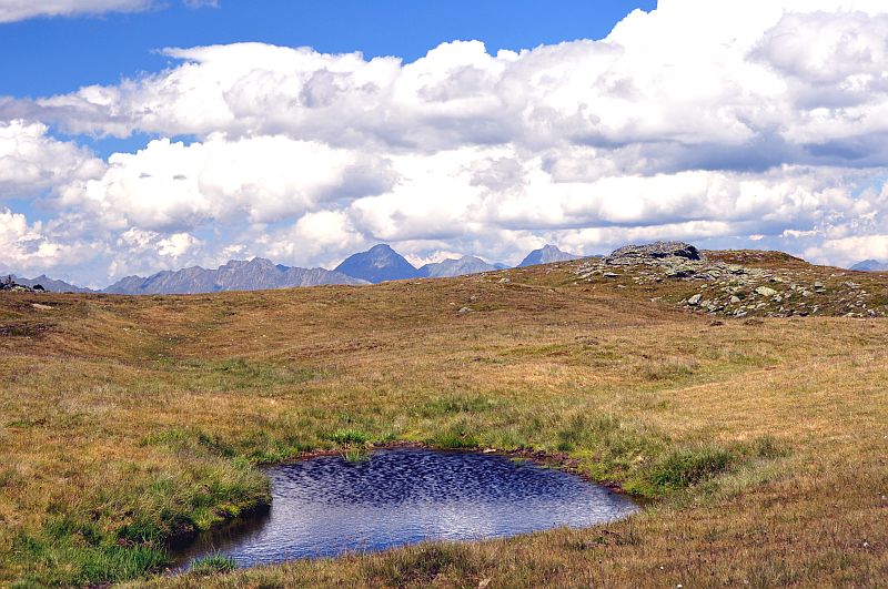
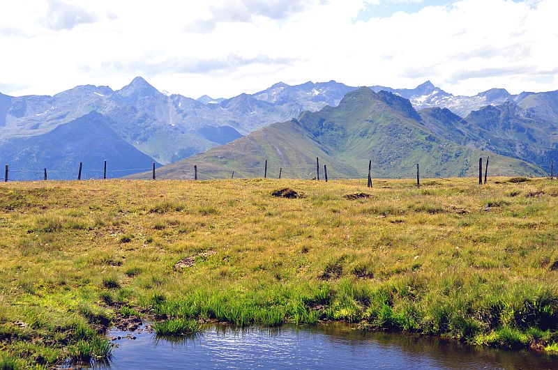
Puddles on the Aineck - plateau.
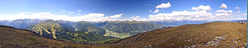
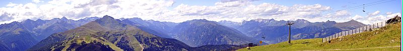
270 degree - summit panorama from Aineck. Click here or into the picture for a larger version.
Partial panorama of the Zederhaus valley with Mosermandl (2.680 m, behind to its left in the shadow Faulkogel, 2.654 m), in the centre of thre picture Zwillingwand (2.518 m), followed by Hochfeind (2.687 m) and far right Weisseneck (2.550 m). Click here or into the picture for a larger version.
Speiereck near St. Michael in Lungau (with the cable car trace), far right is Hochgolling.
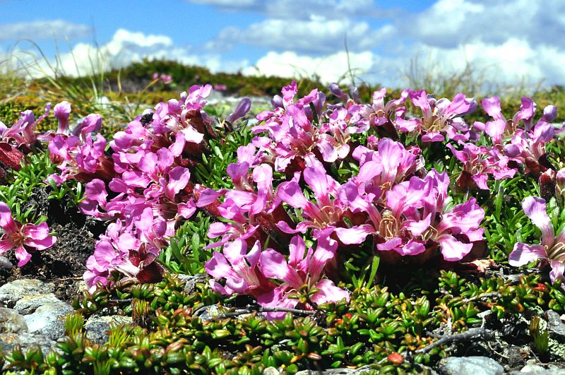
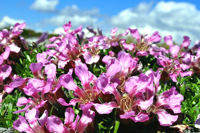
Saponaria pumila (did not find an English name!)
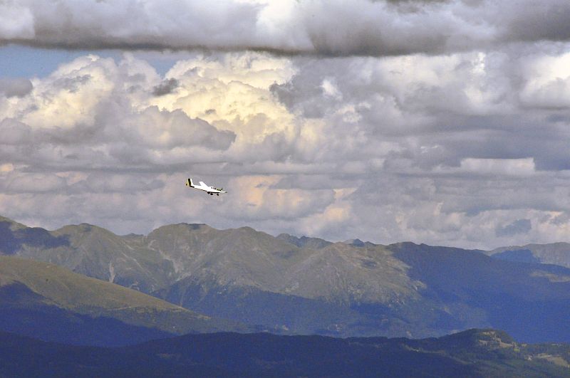
A sports areoplane surrounds the summit of Aineck
View from the northern edge of the summti plateau down and over the Lungau. Hochgolling is in shadow now. Far right is Preber (2.740 m)
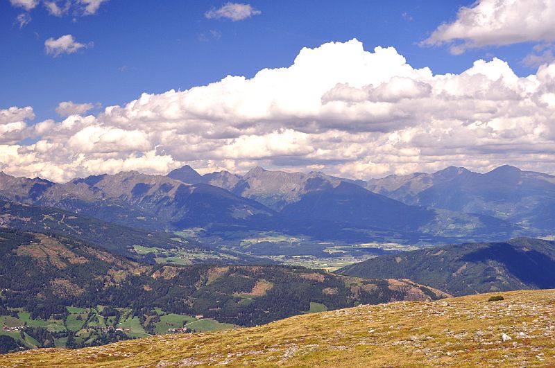
The clouds are increasing now, indicating the rain precast for the night.
Faulkogel and Mosermandl, to the right is Permuthwand (2.479 m)
Once more the view to Hohe Tauern.
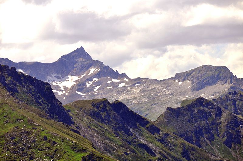
Great Hafner (3.076 m), far right is Silbereck (2.810 m)
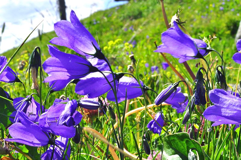
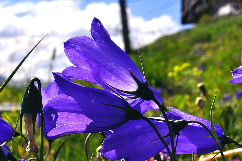
Scheuchzer´s bellflowers (Campanula scheuchzeri) near the hut.
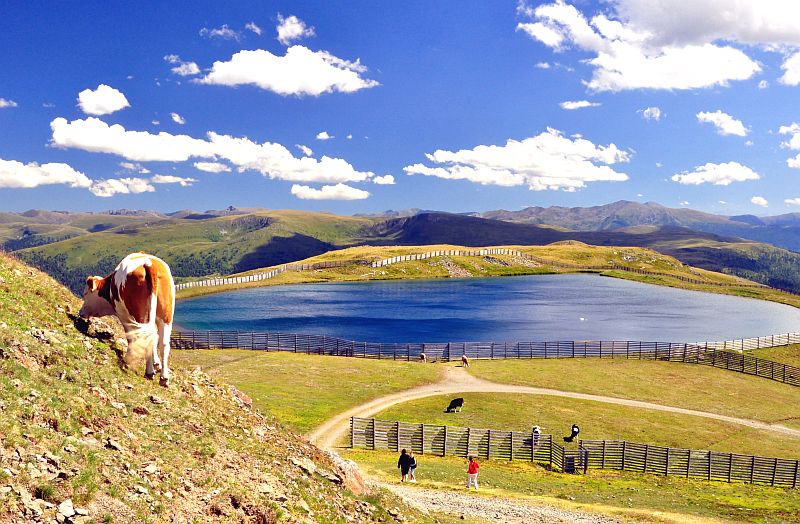
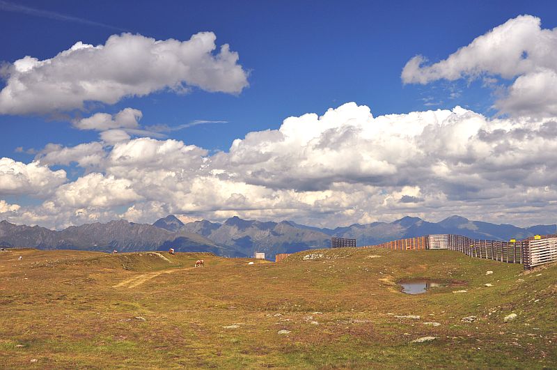
This artificial lake, constructed to store water for artificial snow, looks quite pretty - apart from the awful high fences all around. View in southern direction to the Nock mountains, which I cannot identify due to lack of exact maps.
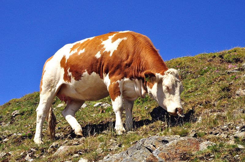
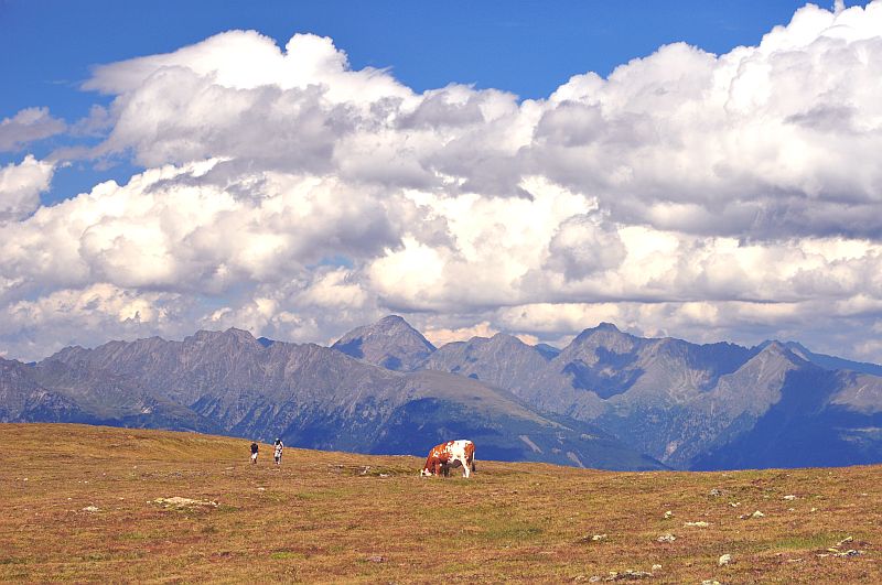
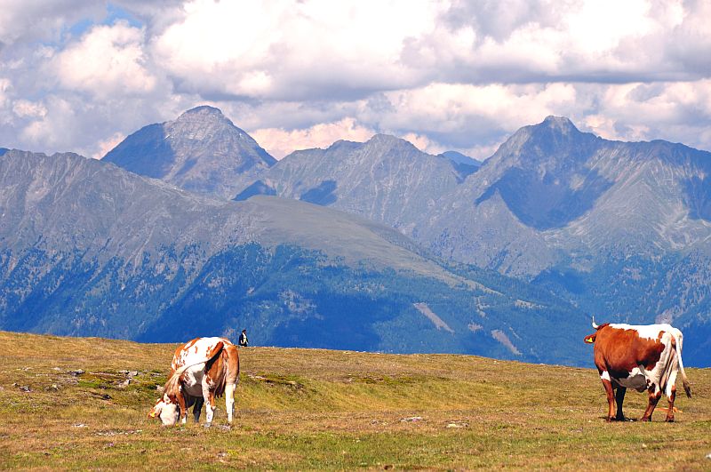
This cow ´doesn´t mind me ...
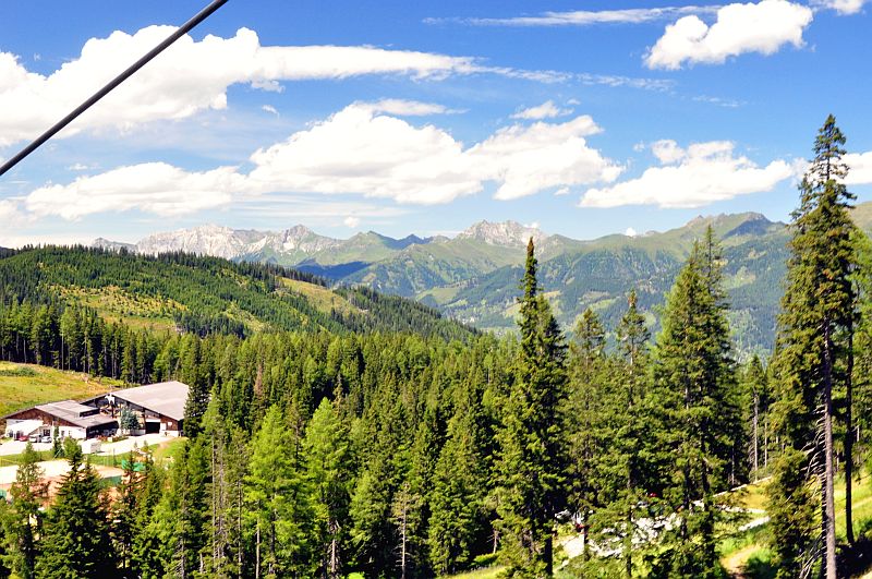
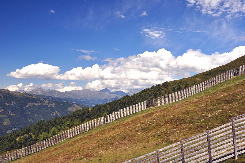
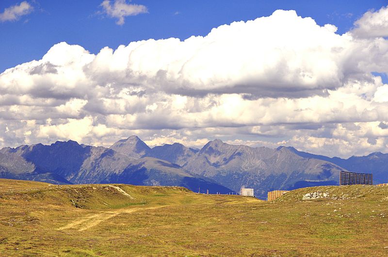
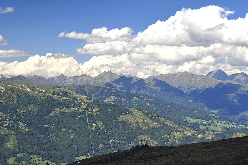
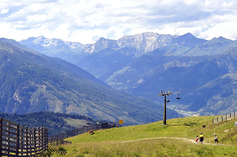
On the way down once more the view over the skiing area of Katschberg - Tschaneck.
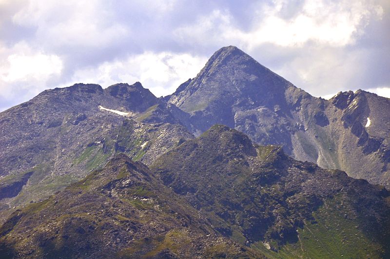
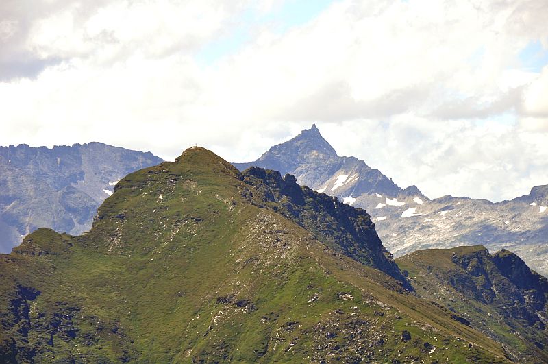
The prominent rock pyramid of Schober - Eissig (2.967 m), they say it can be clombed rather easily from front left side via Seemannscharte (2.695 m). To the left is Seemannwand (2.822 m), in front is Girlitzspitze (2.468 m).
Once more the ciew into the Zederhaus valley.
Western partial panorama taken at the descent from Aineck. Click here or inside the picture for a larger version.
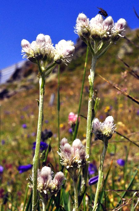
Catsfoot (Antennaria dioica)
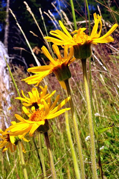
Last flowering exemplars of Wolf´s bane (Arnica montana)
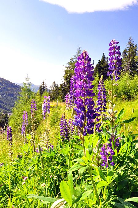
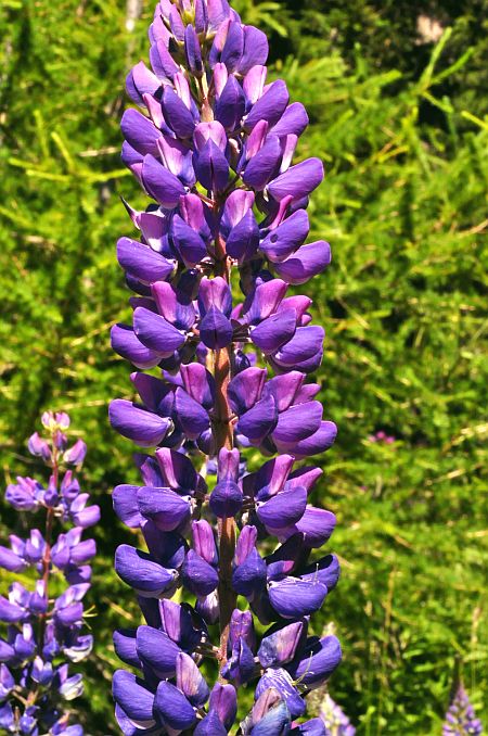
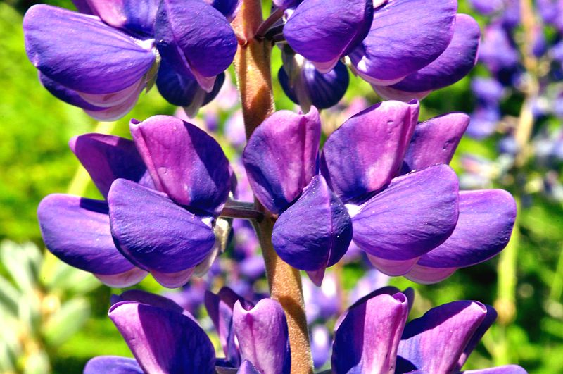
Masses of Blue lupines (Lupinus angustifolius) besides the piste, when we already are walking through the forest.
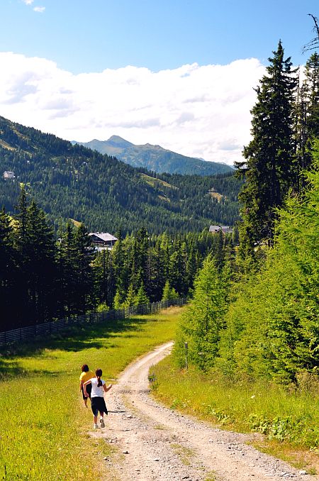
Nearly down now.
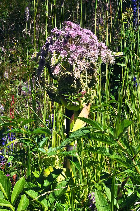
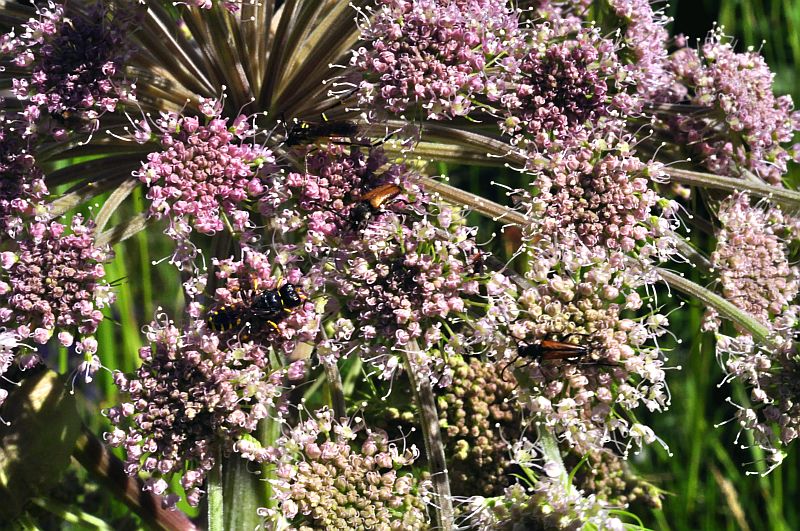
This wild angelica (Angelica sylvestris) ...
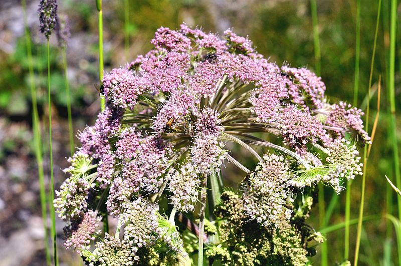
... has many insect visitors.