Grundlsee/Toplitzsee 12.6.2015
The course in Fuschl comes to an end at noon. We drop the lunch and immediately start our drive to Bad Aussee.
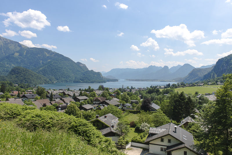
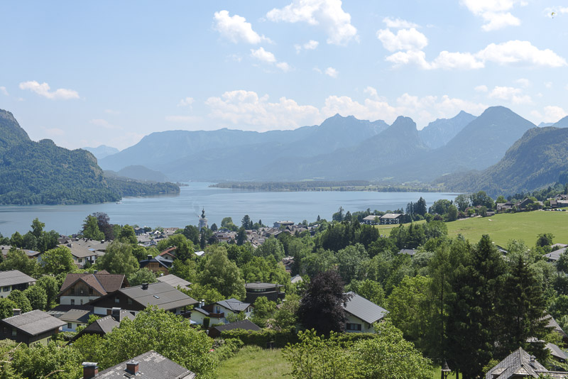
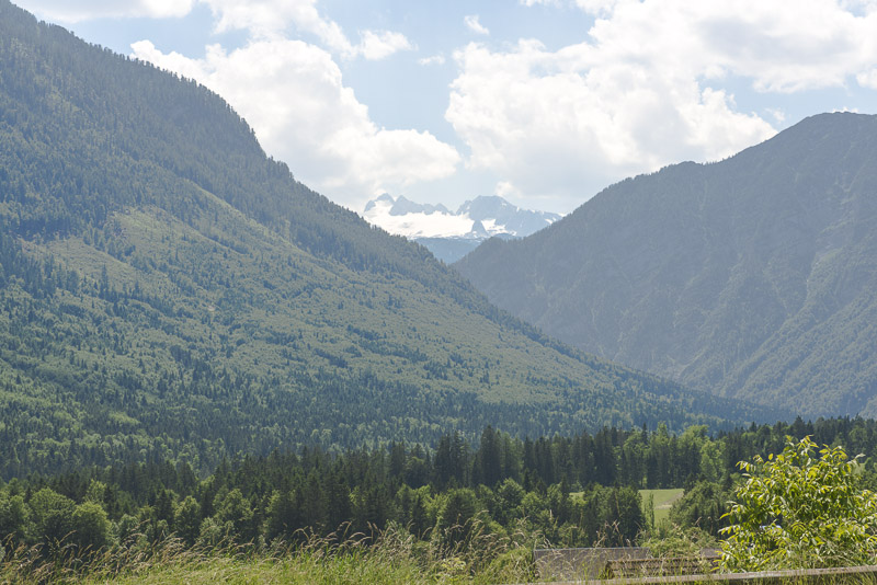
After a few miles we have to stop ...
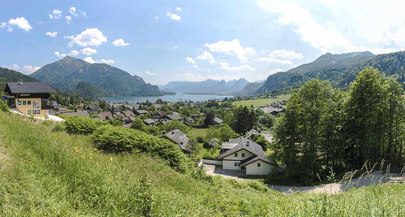
... to admire this gorgeous view over St. Gilgen and the lake St. Wolfgang.
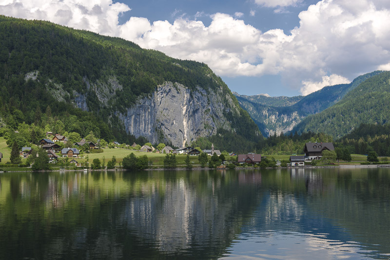
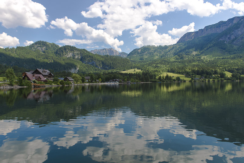
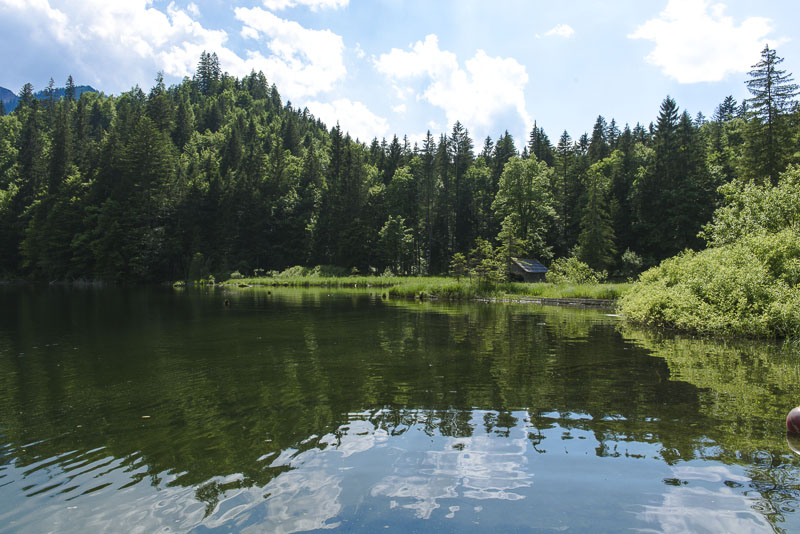
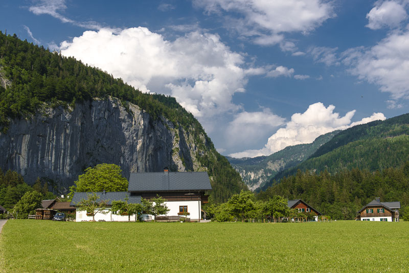
Arrived in Bad Aussee. At the southwestern end, near the outflow of the lake Grundlsee, ...
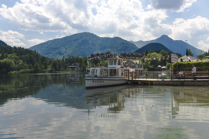
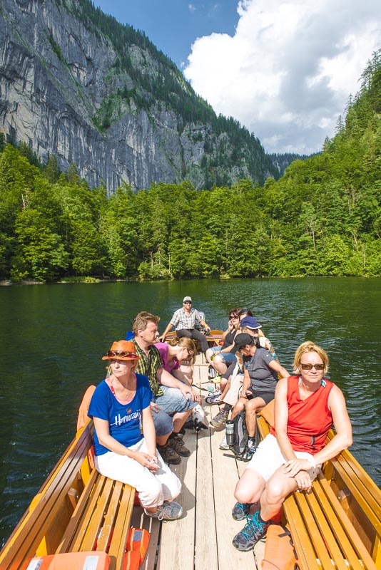
... we enter the excursion boat that will carry us to the other end of the lake.
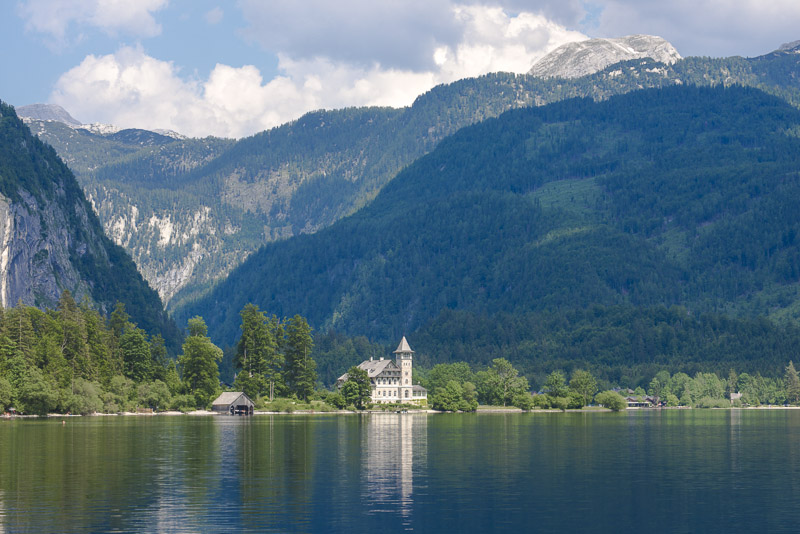
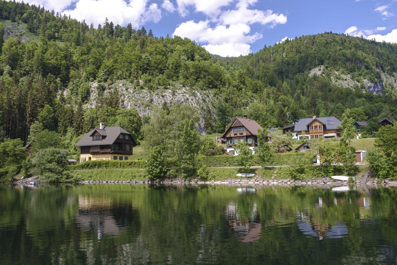
Opposite, one of the gorgeous mansions from emperor´s time, the Villa Castiglioni.
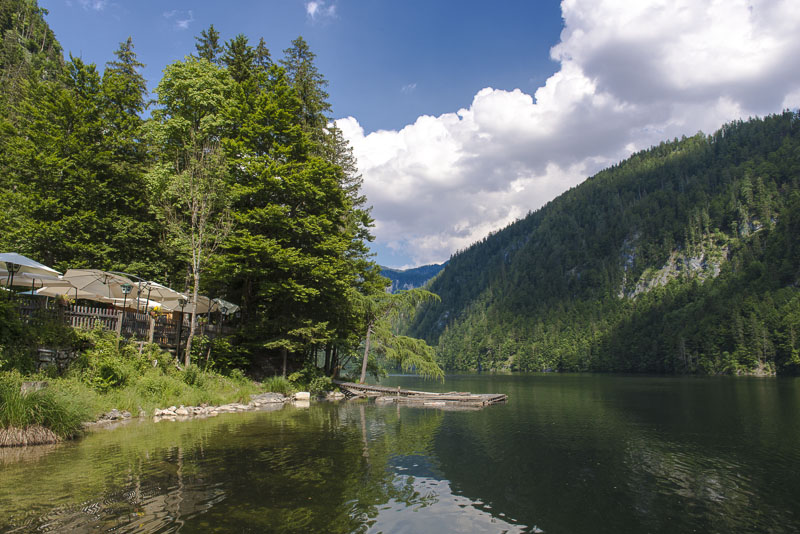
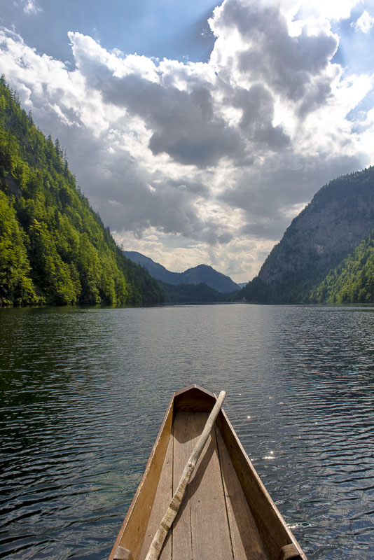
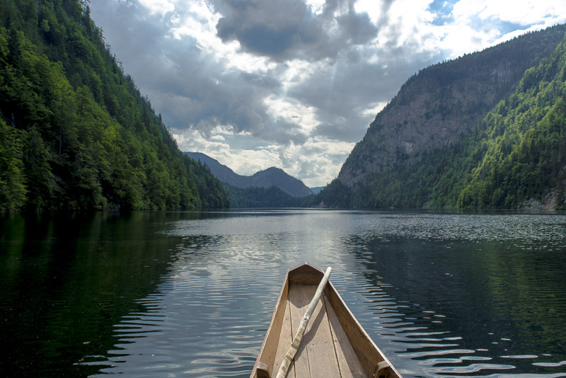
Off we go.
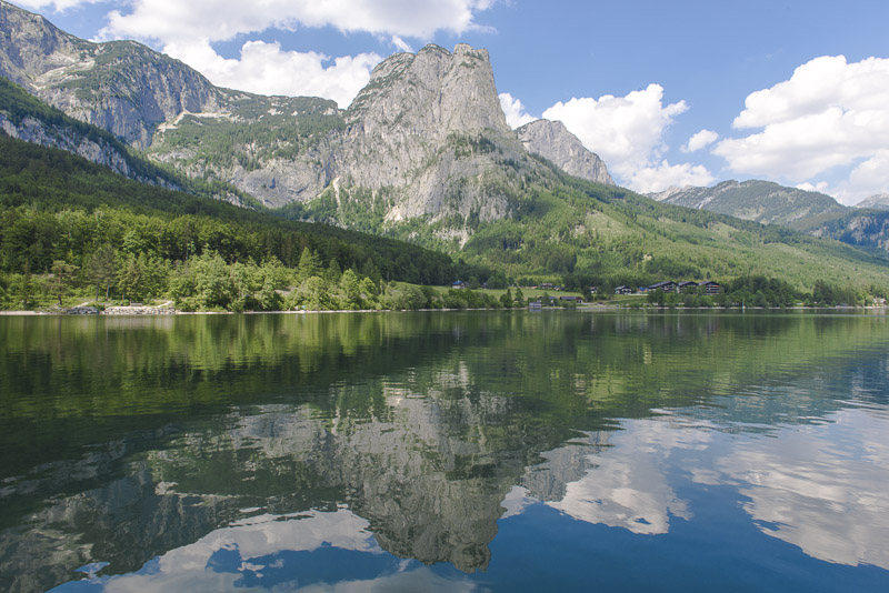
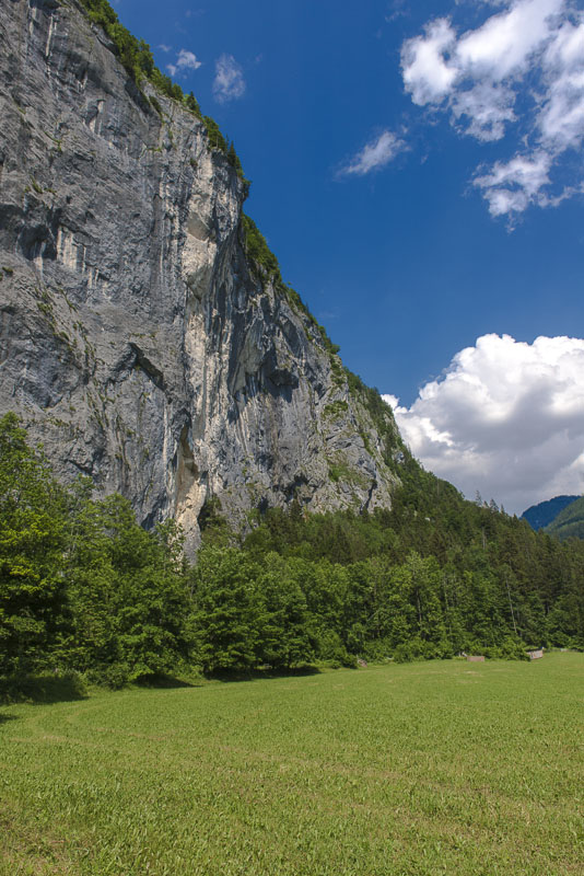
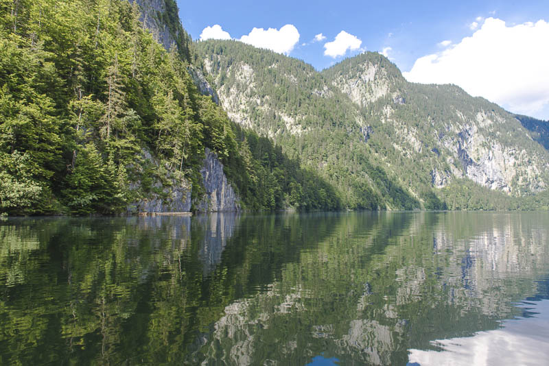
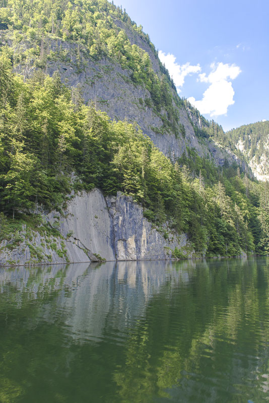
To the left, the monumental rock of the Backenstein (1.772 m)
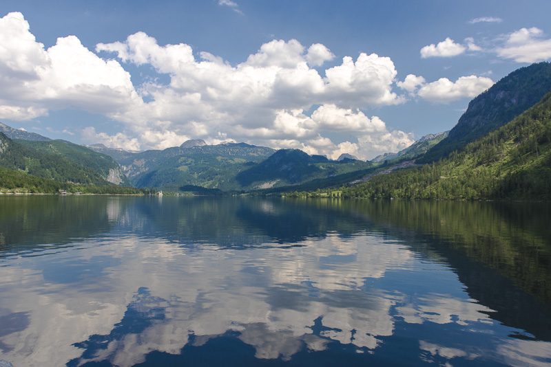
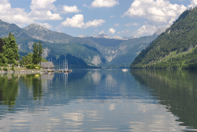
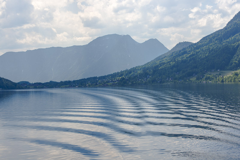
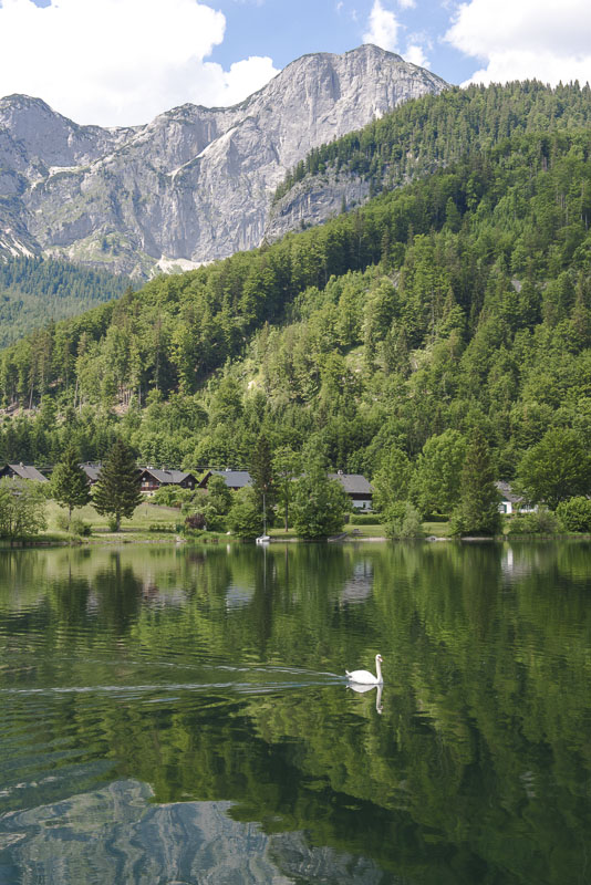
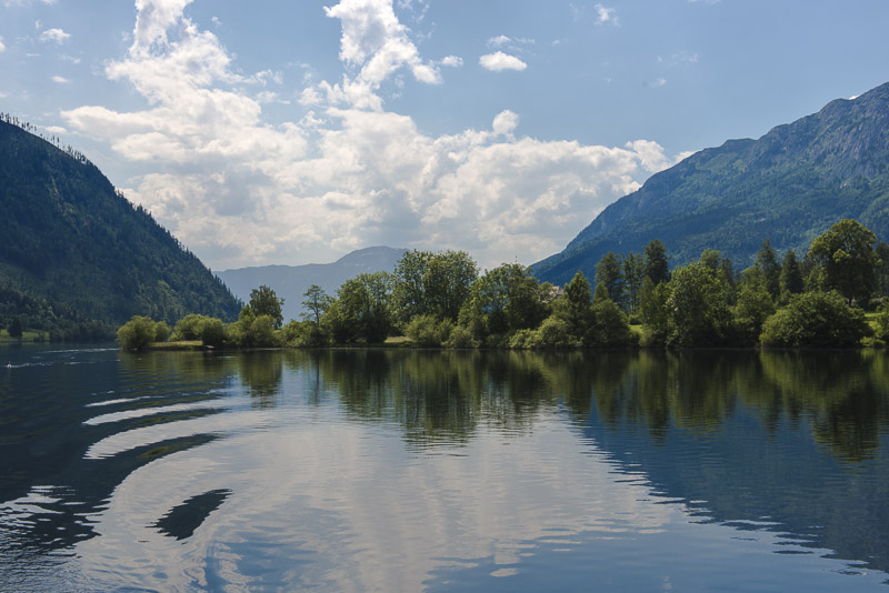
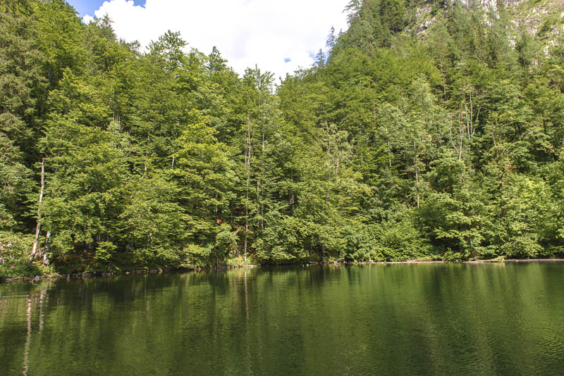
The water is glassy and quiet today.
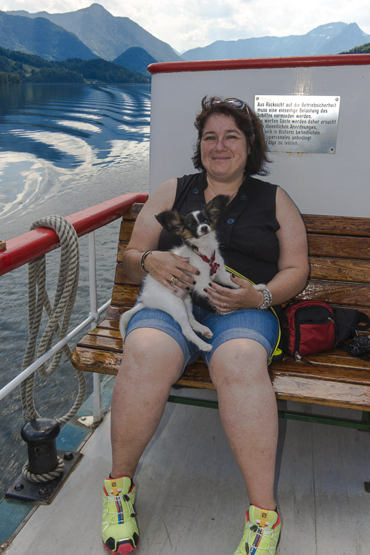
Better hold Lucy tightly so that she cannot fall into the water.
Backenstein

View back.
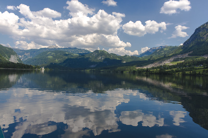
An idyllic journey.
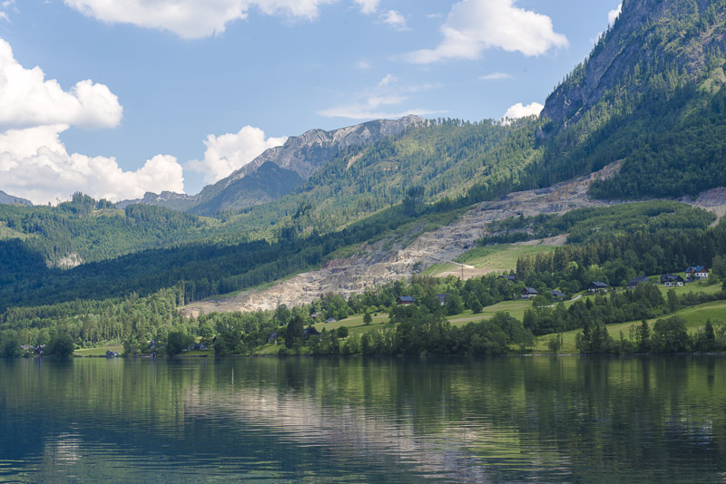
Gipsum quarry on the right side. The material is carried to Unterkainisch for workup by a ropeway.
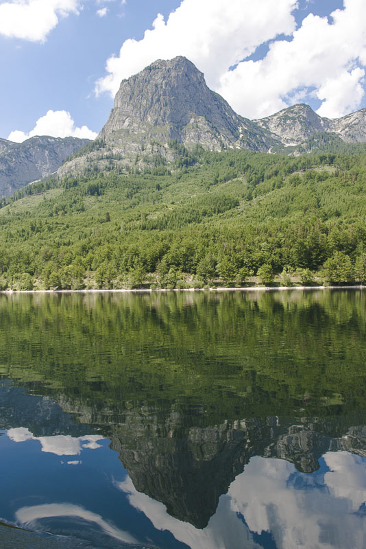
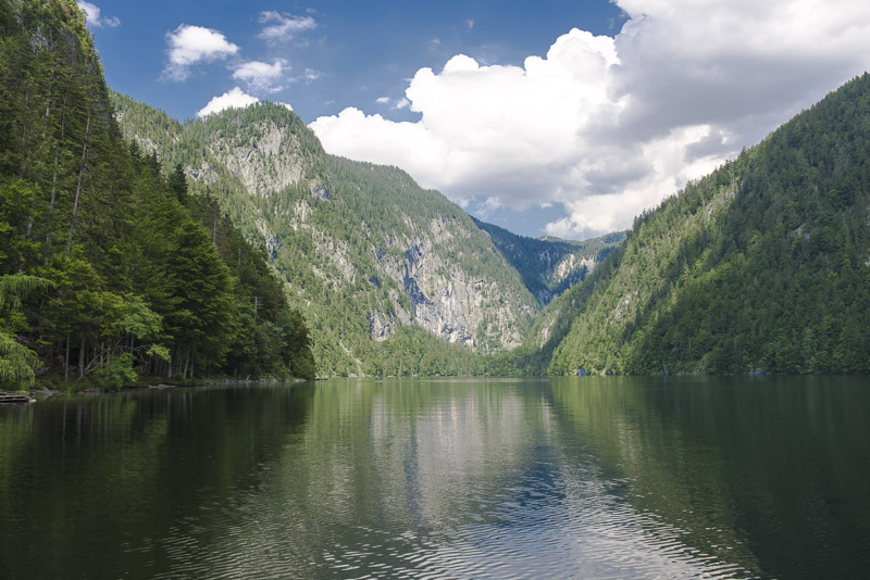
Backenstein dominates the scenery nearly the whole journey.
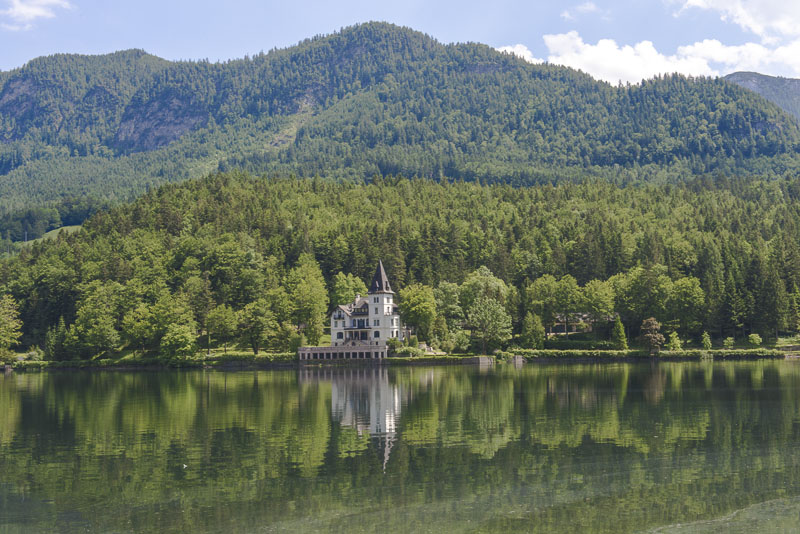
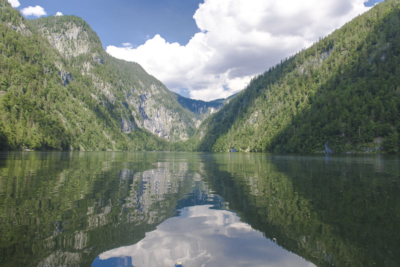
View to the head of the lake with Grundlsee castle.
View back. Hoher Sarstein (1975 m) in the background with its prominent ridge. Tomorrow, I shall climb this mountain and walk along its ridge - from right to the very left. Only the rock jag of the Niederer Sarsteins (1877 m, far right, will we omitted. No route goes up there.
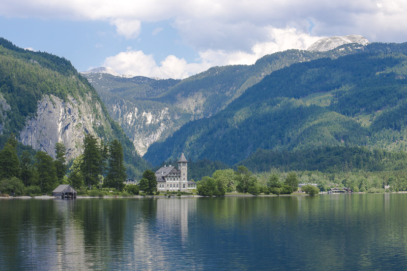
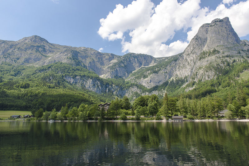
Grundlsee Castle. We are approaching the end of our journey at the head of the lake.
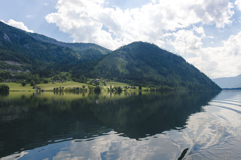
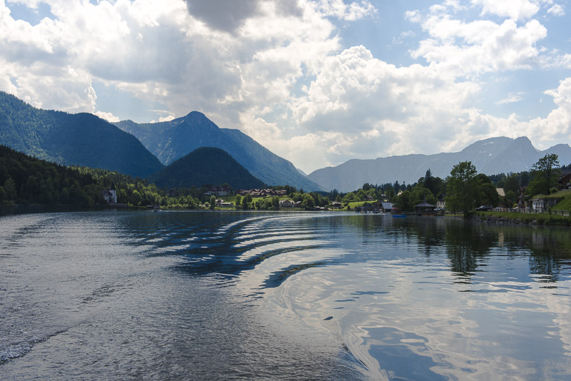
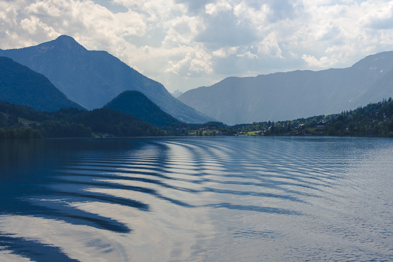
View back with the Ressen (1.303 m) to the right.
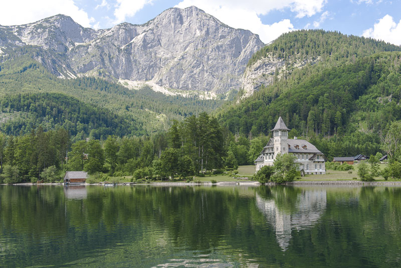
Grundlsee castle with the Reichenstein (1.913 m), to the right in front is the Bachwand.
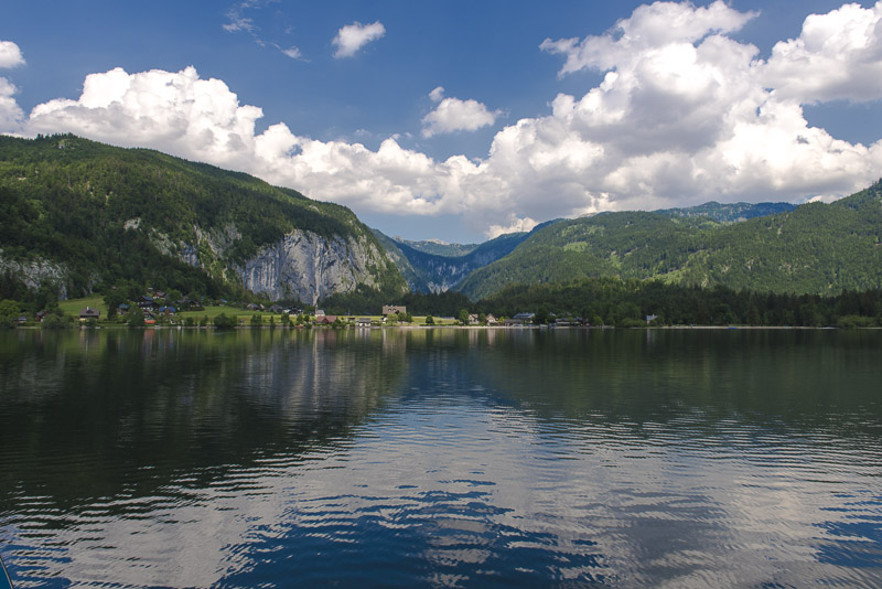
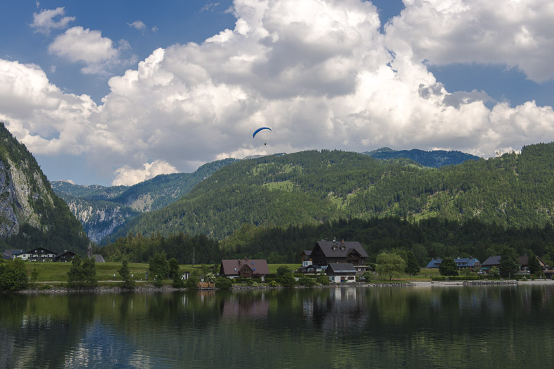
Heading for Gössl at the head of the lake.
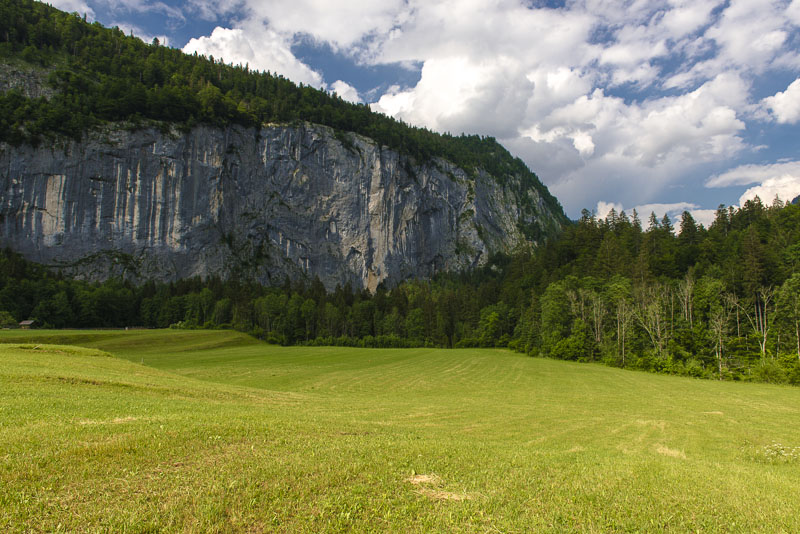
Gößl with the Gößler Wall.
Reichenstein (1.913 m)

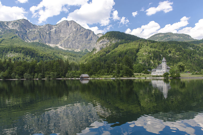
We´ll be landing in a few minutes. Once more Sarstein (1.975 m) in the background.
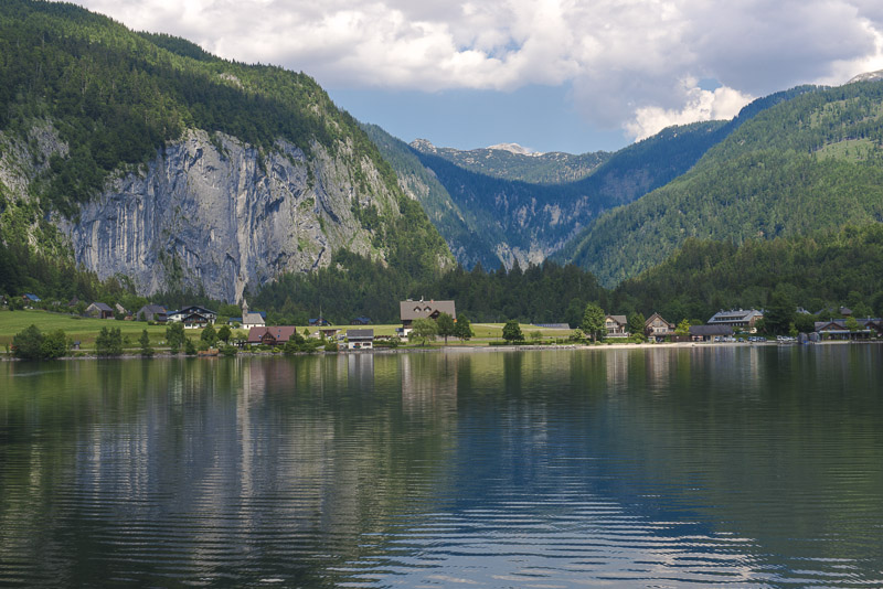
Gößl and Gößler Wall.
Gößl. Now we have to walk about a mile into the valley beneath the Gößler Wall.
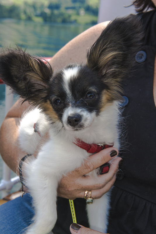
Lucy likes to sit by Susi.
Gößl, with the Totes Gebirge ("Dead mountains" - due to lack of vegetation) in behind.
Old houses in Gößl.
Gößler Wall.
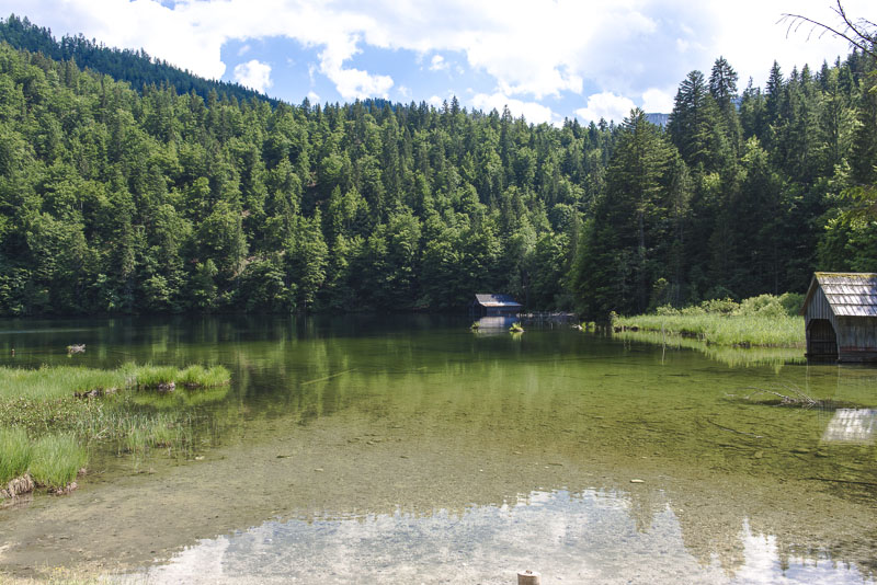
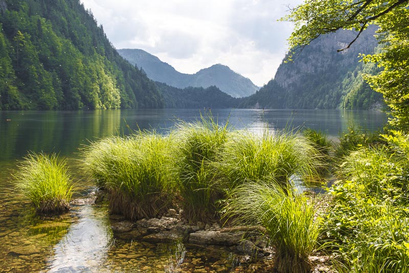
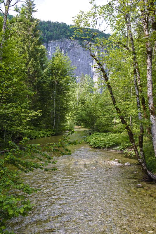
Shortly behind the Gößler Wall is the Lake Toplitz.
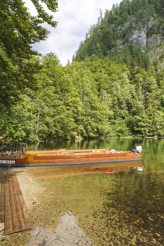
We enter a small, flat engine driven boat called "Plätte" (didn´t find an English word for this) for only 12 persons.
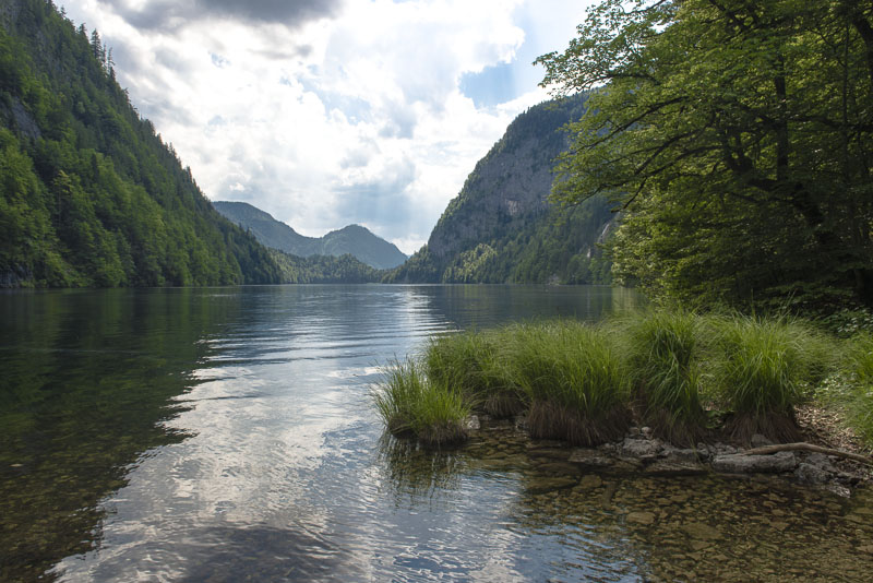
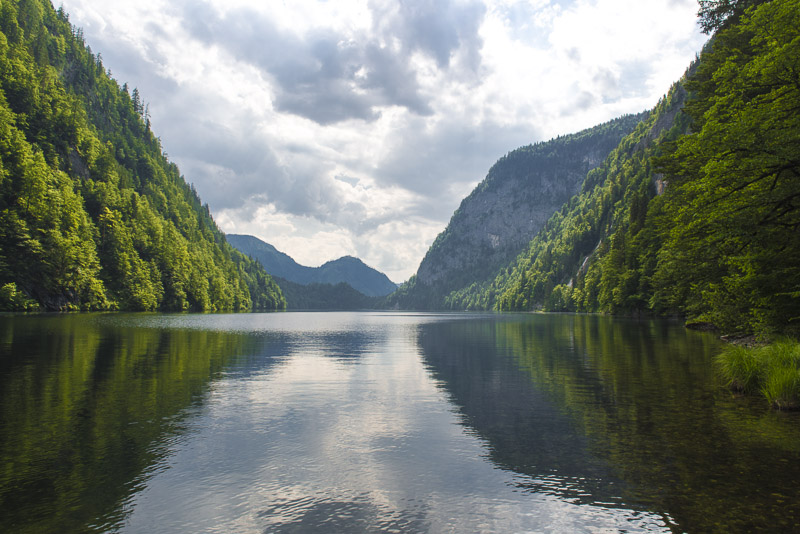
Now were sailing with slow speed over Lake Toplitz.
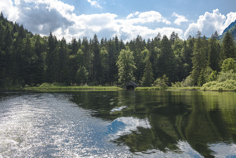
The outflow of the lake
There is no path around the lake because the mountain slopes are so steep. So you have to take the boat.
Near this place, the water depth is 103 m!
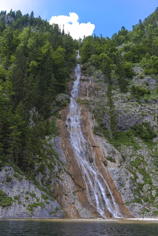
This waterfall comes down directly into the lake. The water does not contain oxygen in the deeper parts of the lake, because there is a saturated salt solution down there; due to the high density of the salt water, the layers are not mixed. Apparently, the ice age glacier that formed this valley has opened a salt dome.
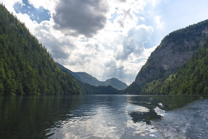
I cannot remember having seen such a black water.
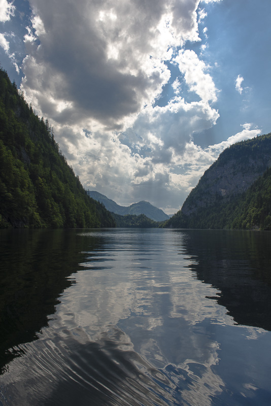
The shadows of the clouds enhance the eerie athmosphere.
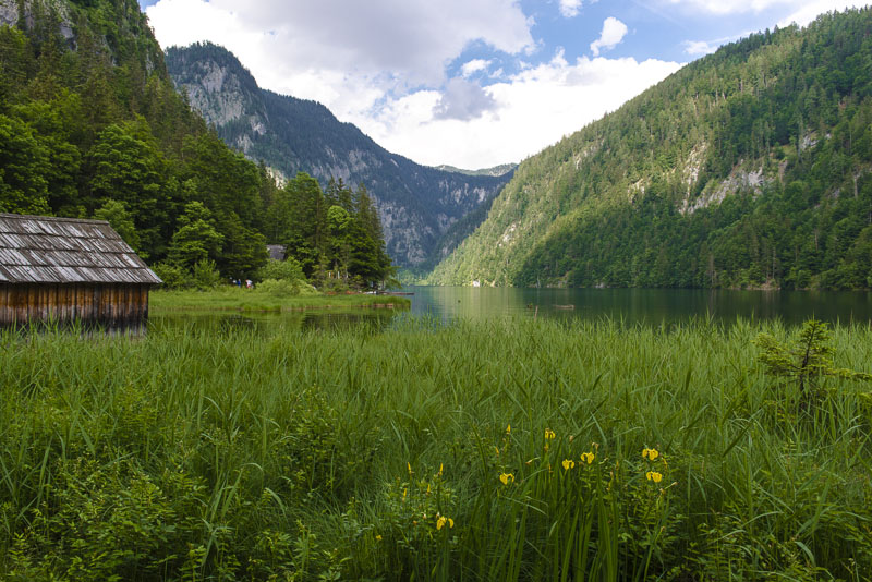
We land at the head of the lake. 20 minutes to have a short visit to the nearby Kammersee, a small lake behind in the valley.
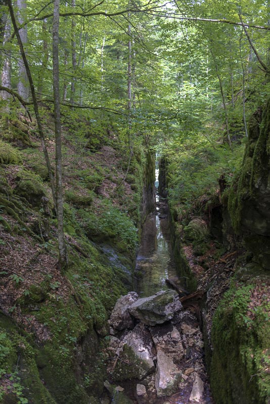
Rafters´ breakthrough between the two lakes. During the 18th century, under the empress Maria Theresia, prisoners weere forced to make this breakthrough facilitate rafting of wood that was needed for the salt production in Bad Aussee. Today, all the salt of the Salzkammergut is produced in Ebensee.
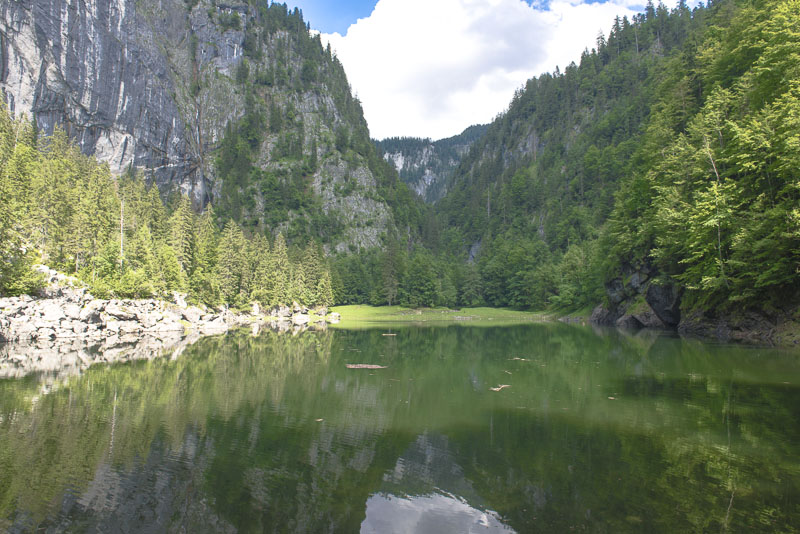
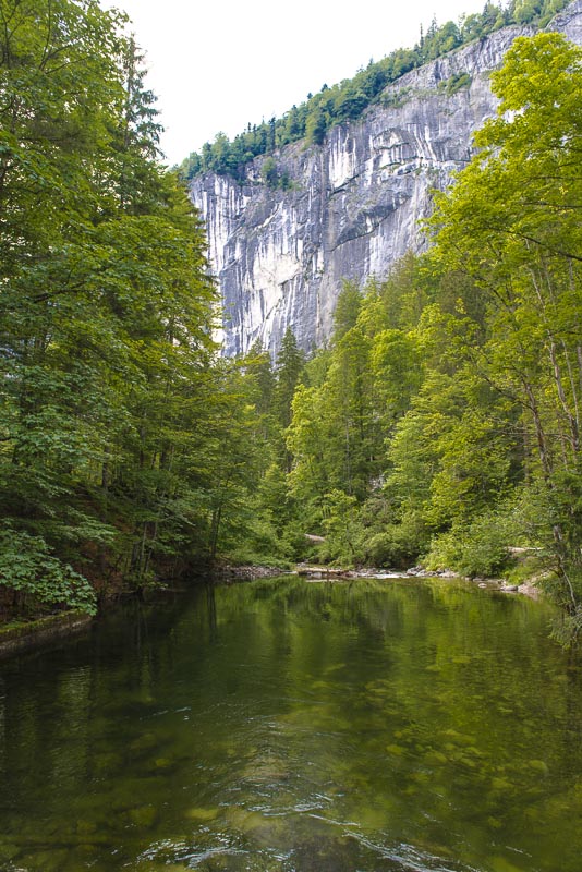
Kammersee. The valley is so narrow, that this exposure made with a wide angle lense only shows part of the lake.
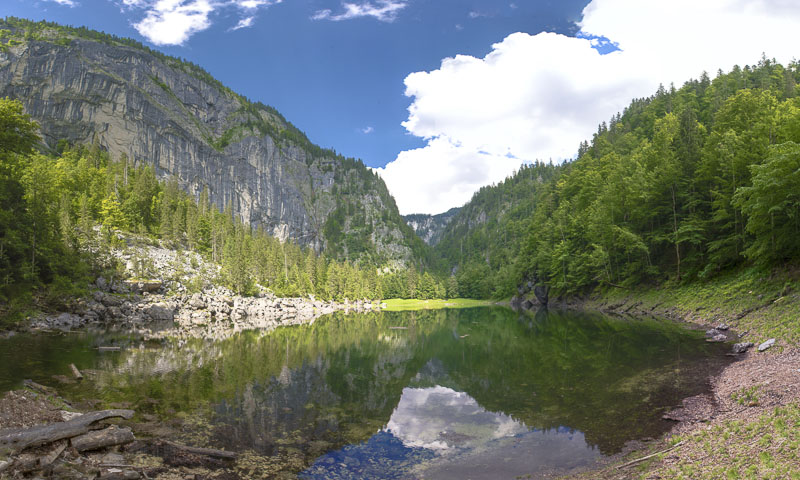
12 exposures stitched together - and you get an overview - but the valley lookes much smoother than in reality. The rock wall in the background is about 500 m high.
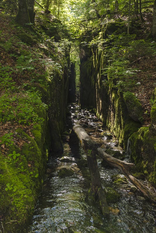
The breakthrough. I don´t fully understand the benefit. There is no beck between the two lakes, but only a subterraneous water connection between lake Toplitz and the Kammersee. This water flows into the Kammersee.
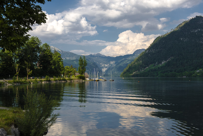
Back at the jetty, I have to wait a while for the others to return. IOn the meantime, I look for a nice placed to make an idyllic picture of lake Toplitz.
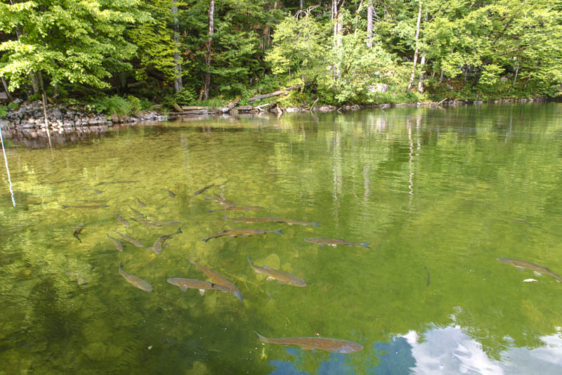
Beneath the boat, trouts are in hope for some food.
Starting the return.
It really is a small boat, and we all should wear life jackets - much too hot today.
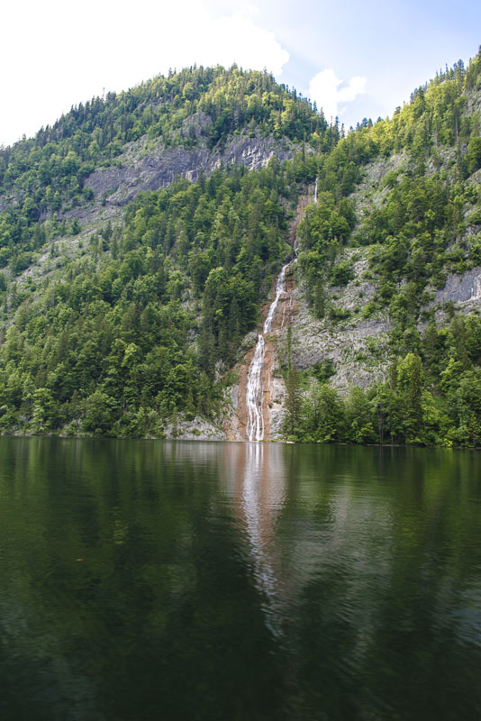
Once more passing the waterfall.
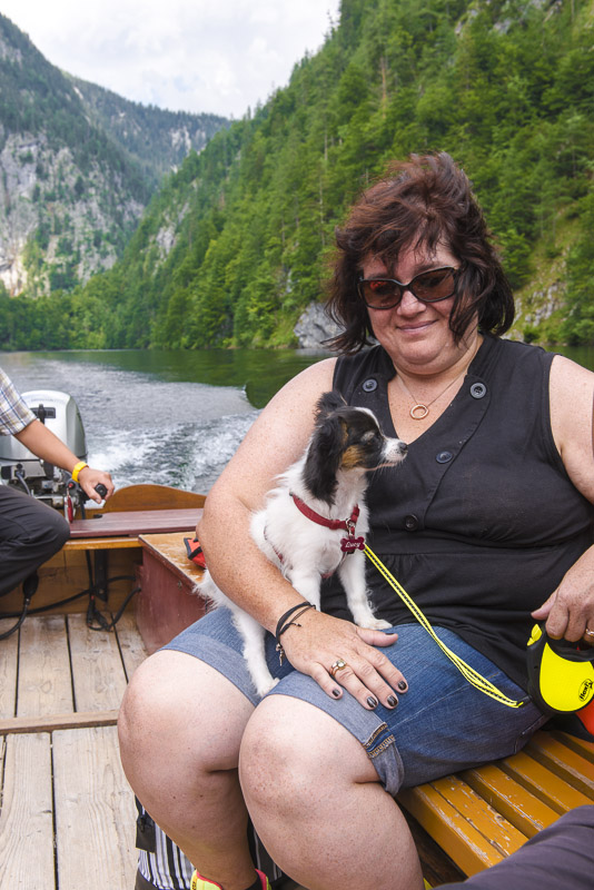
Lucy has to be held tightly here.

Back at the outflow of the lake
Gößler Wall and Toplitz beck, the outflow of lake Toplitz.
A last view back.
This time, we take the forest path.
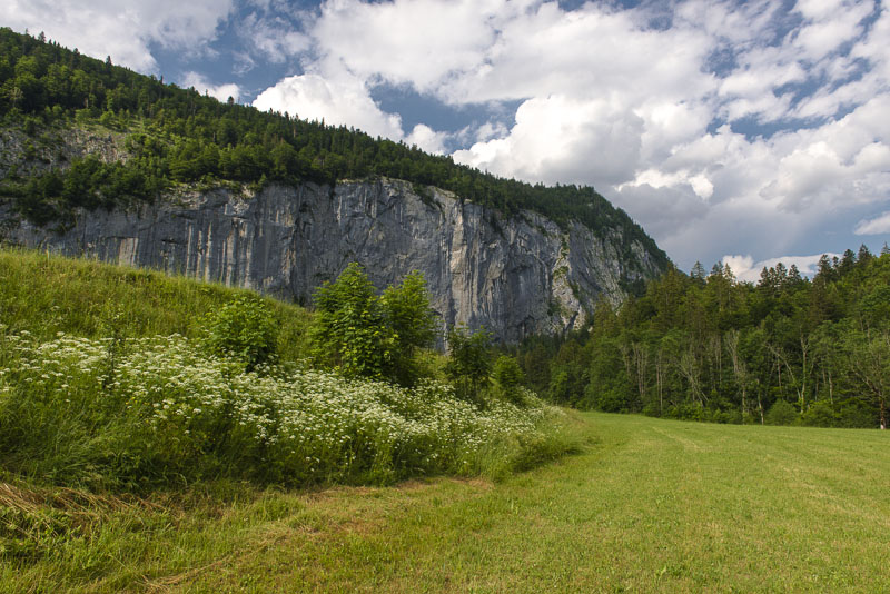
Gößler Wall
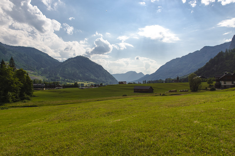
View in direction Lake Grundl.
Gößler Wall between the last houses of the little hamlet of Gößl.
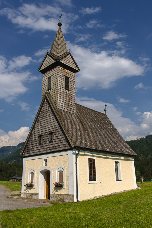
The church of Gößl does not belong to the archdiocese of the catholic church, but is owned by a community of some local farmers.
We missed the last boat back, so we go back to our car with a hailed shared taxi.
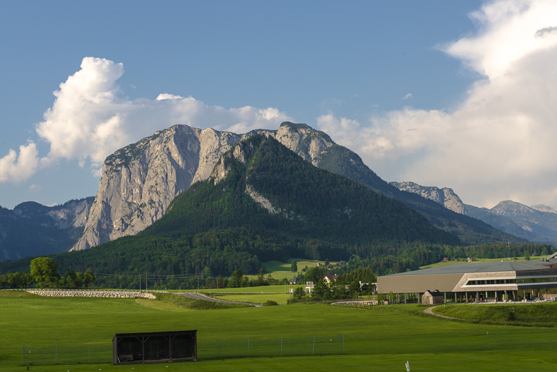
This is the view from our hotel Bei unserem Hotel Wasnerin above Bad Aussee. Tis view to the south goes to the Dachstein (2.995 m) with its glacier, ...
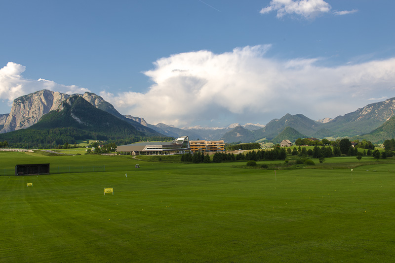
... and to the Northeastern side, the view goes over the lake Grundl (which is too deep to be seen) to the Totes Gebirge. The big rock mountain is the Trisslwand (1.754 m). Behind the brown building should be the lake Toplitz. Here, a large golf course has been constructed.
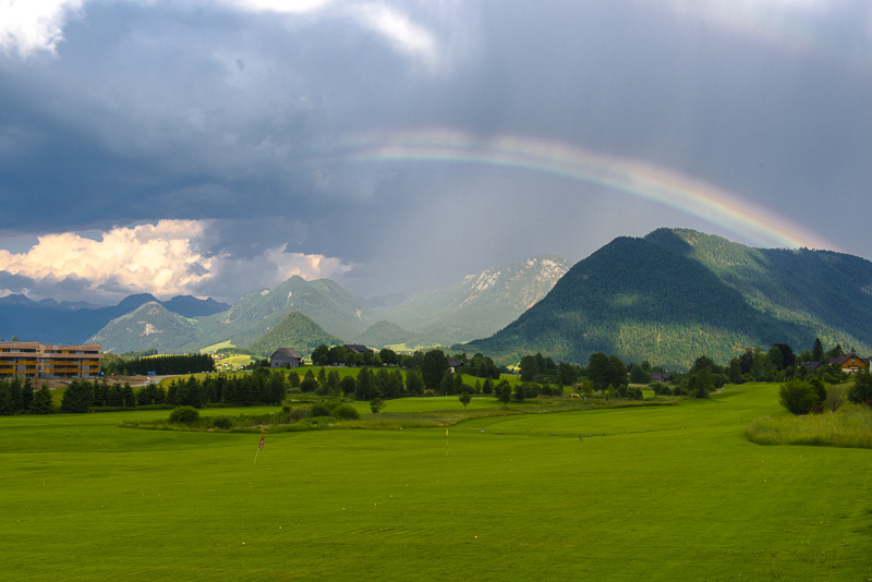
A short thunderstorm passed by and left us a beautiful rainbow.
Trisslwand. In the hollow to its left is Lake Altaussee.