Schneeberg 13.11.2005
Dense high fog covers half of Austria. In the evening Marlene and me sponaneously decide to climb Schneeberg on next day.
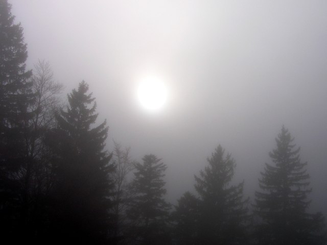
Start from Losenheim in dense fog and a bit frost, in upper parts of the fog even hoarfrost. Shortly before Sparbacherhuette the fog thins out.
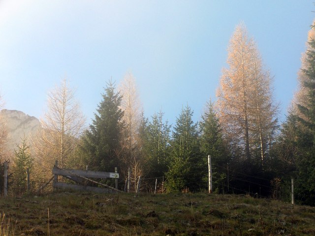
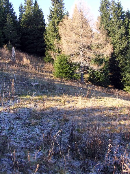
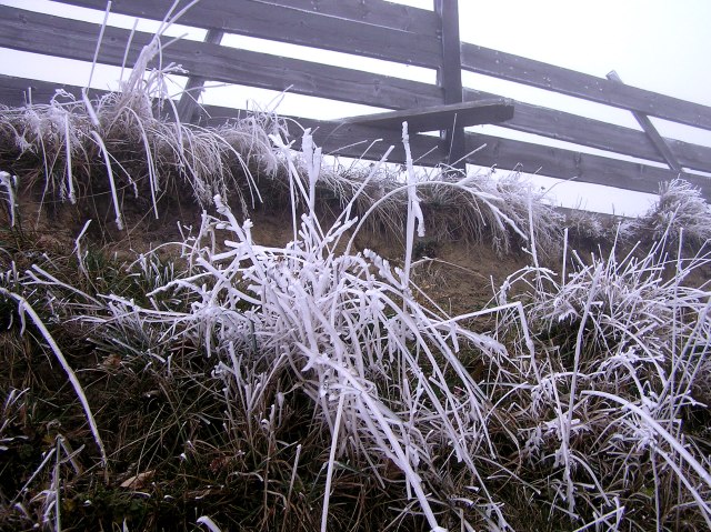
Hoarfrost on grasses
At least the sun breaks through...
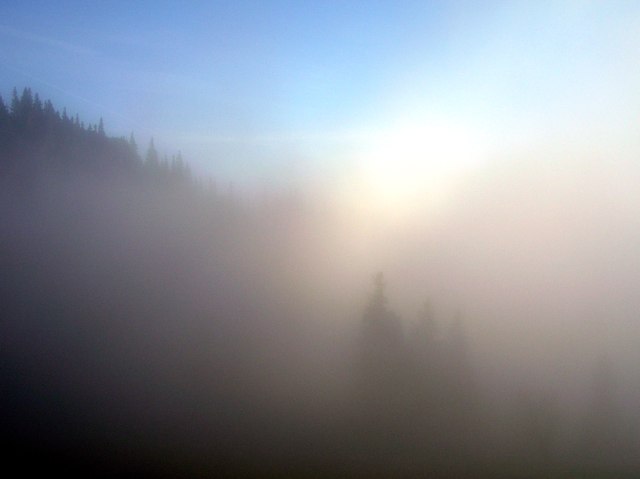
... and enlightens the fog ...
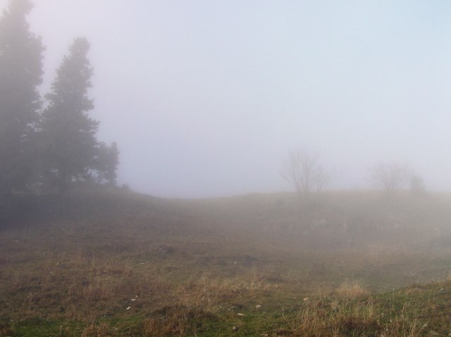
... now disappears ...
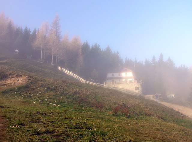
... but shines a bit on Sparbacherhuette.
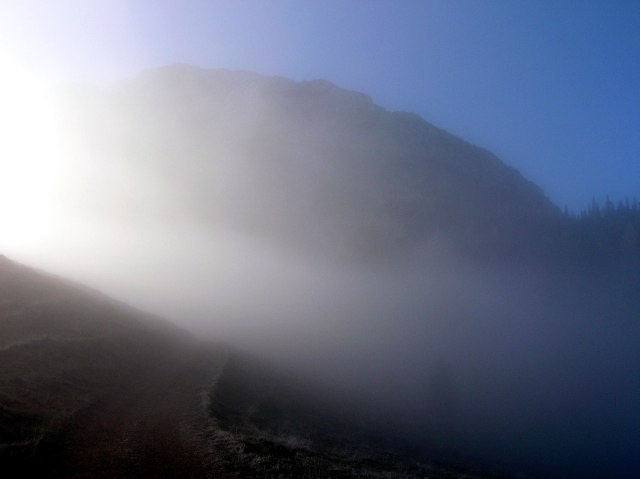
Clear view up to Schneeberg
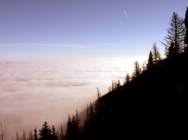
At least the view over the cloud sea is free.
Yet it is cold in shadow.
Slowly ascenting, ...
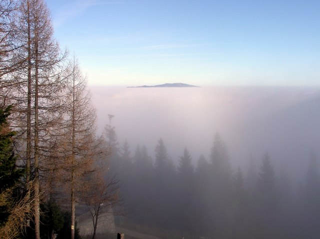
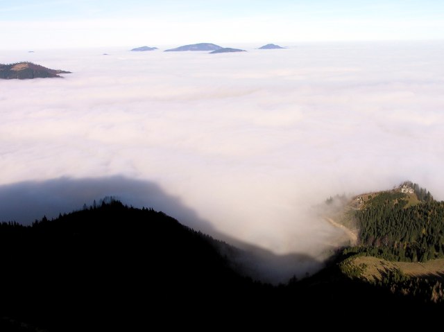
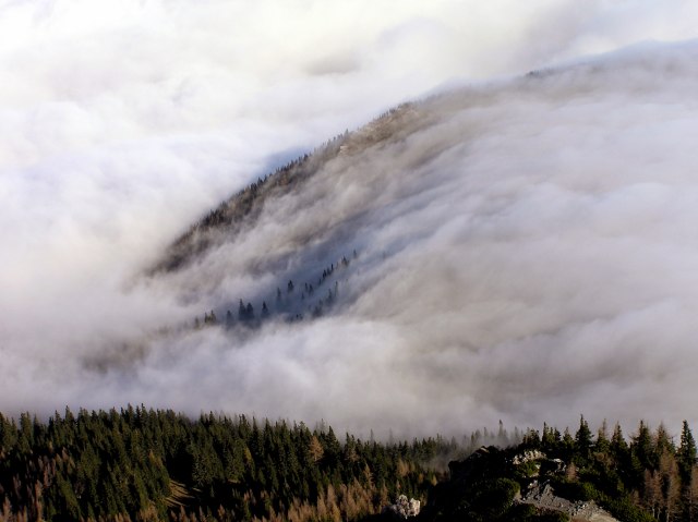
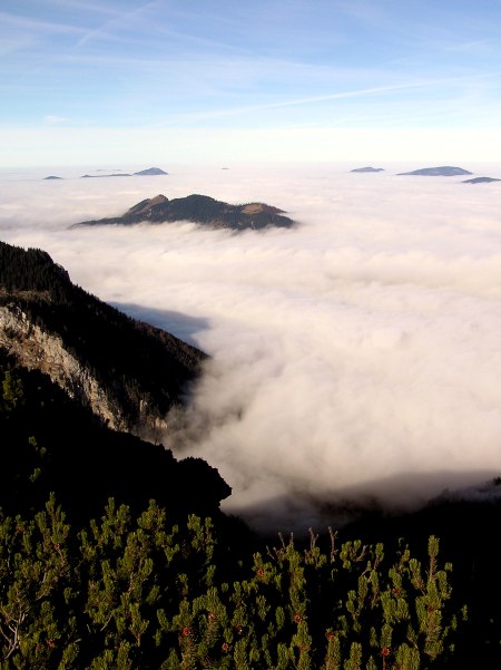
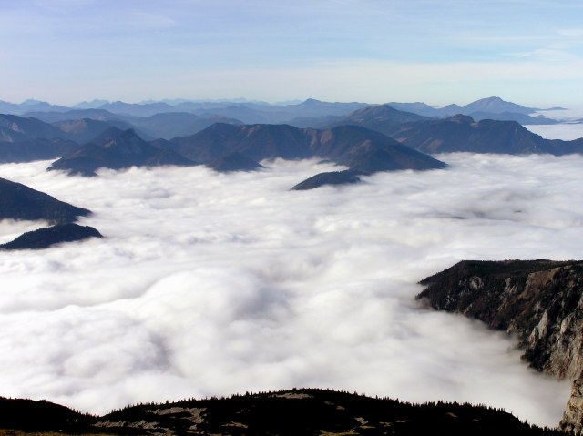
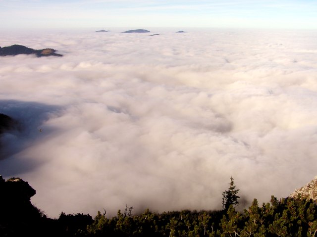
... And soon we face our first panorama: view to north (northwest to northeast) The smooth ridge drawing from Schneeberg to the north near Sparbacherhuette is "washed" by the fog like a waterfall (right half of picture). Click into the picture for a larger version.
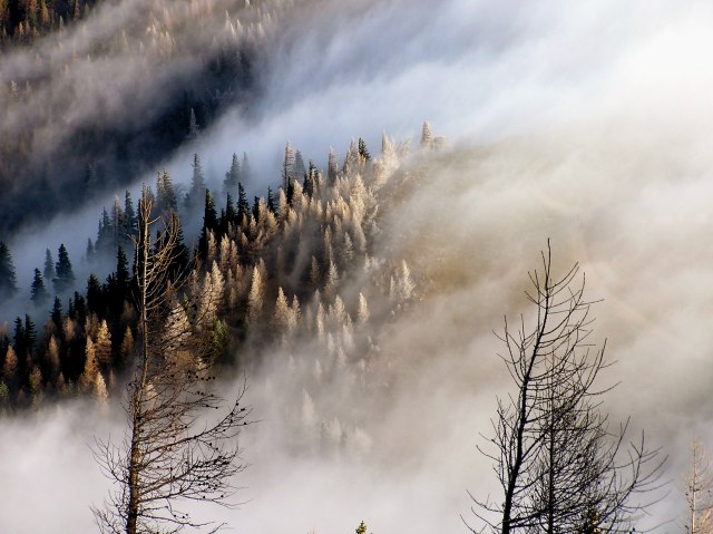
Zooming in the ridge and the cloud cascade: hoarfrost on the trees.
View tho northeast: Hohe Wand is completely covered by the clouds
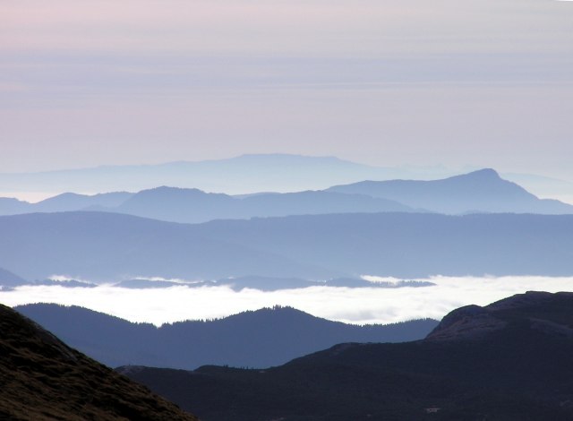
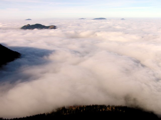
View to west. Summits rise out of the cloud sea. Where the sun enlightens the clouds after having touched Schneeberg ridge behind us, a colour spectrum (Brocken Spectre) is seen.
Zooming in on that spectre
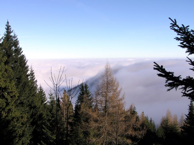
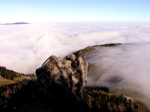
Once more the fog cascade with cloud turbulance beneath, like a real waterfall. In the background Unterberg (1.342 m) as an isle in the cloud sea.
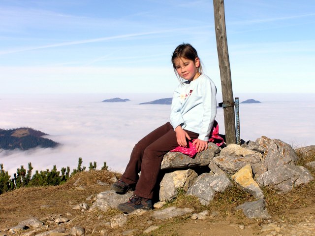
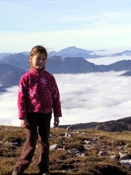
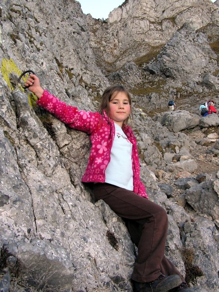
The big mountain walker
Once more a detail of the cascade
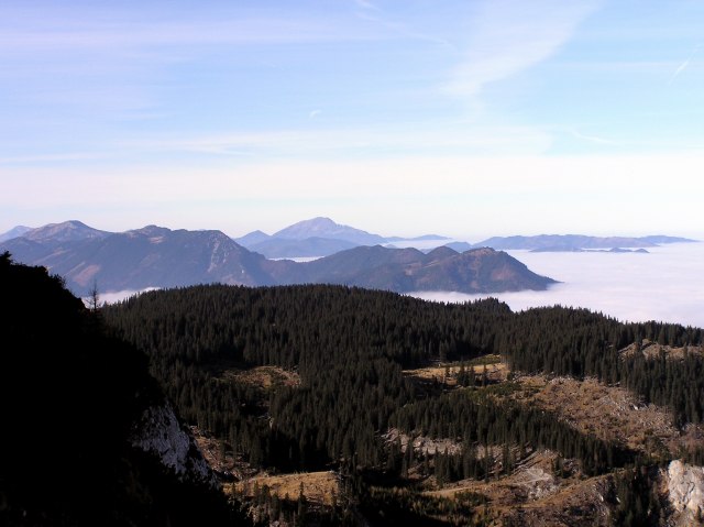
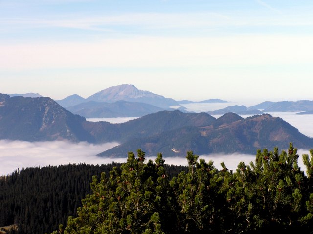
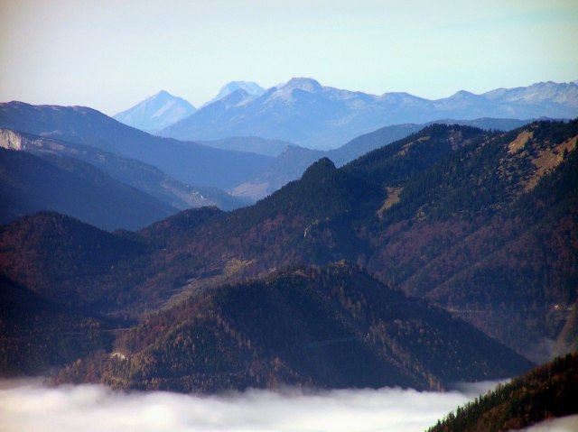
On further ascent, the view clears over Kuhschneeberg (1.545 m) to Oetscher (1.890 m).
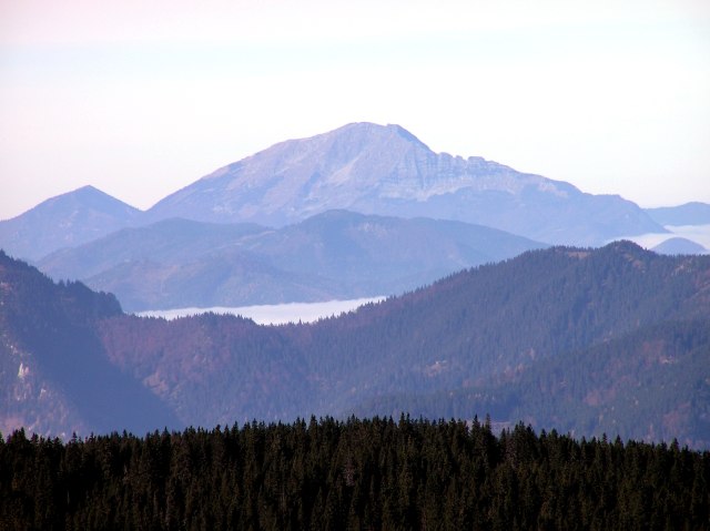
Oetscher in detail
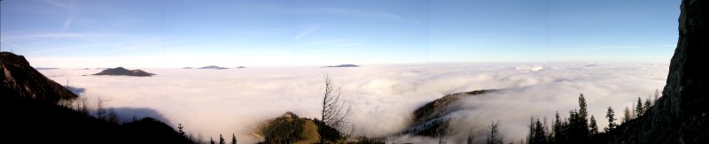
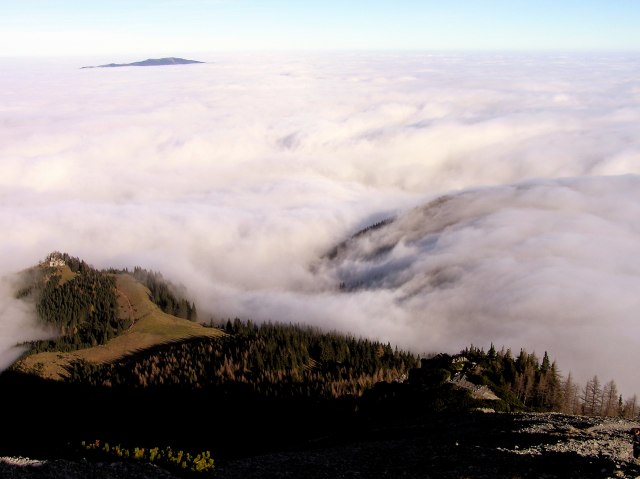
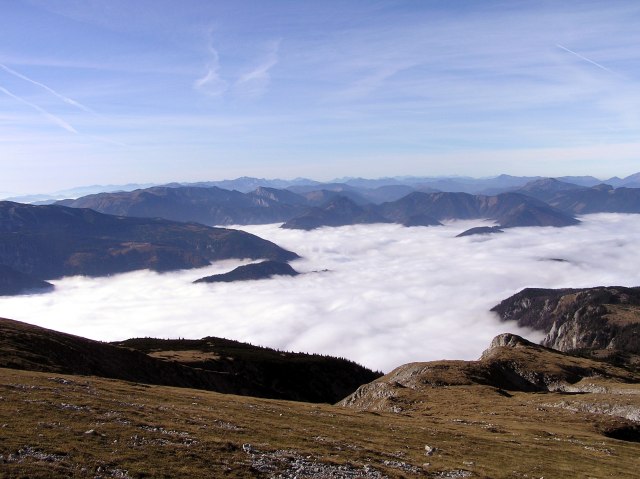
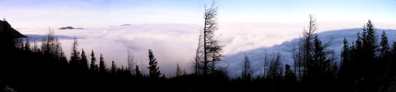
We have reached the upper end of the steep escarpments and take a short rest. Gorgeous view over the cloud sea in western direction. Click into the picture for a larger version.
Here it is quite warm.
Once more Oetscher
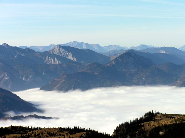
View to west
In the last row mountains of Gesaeuse: Tamischbachturm and Großer Buchstein
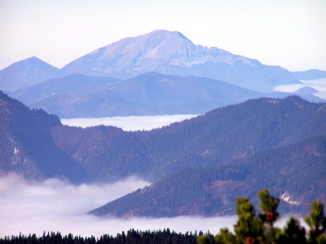
Oetscher. The sharp ridge from the summit to the right is named "Rauher Kamm", a beautiful, but a bit airy ascent route.
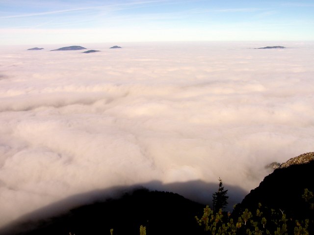
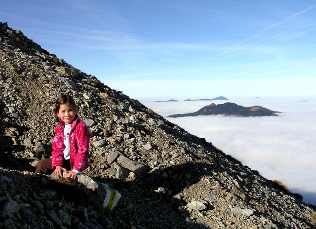
Once more the isles in the sea. Far right Unterberg
Now the summit is near. The last part of the path leads over smooth meadows of the western Schneeberg plateau.
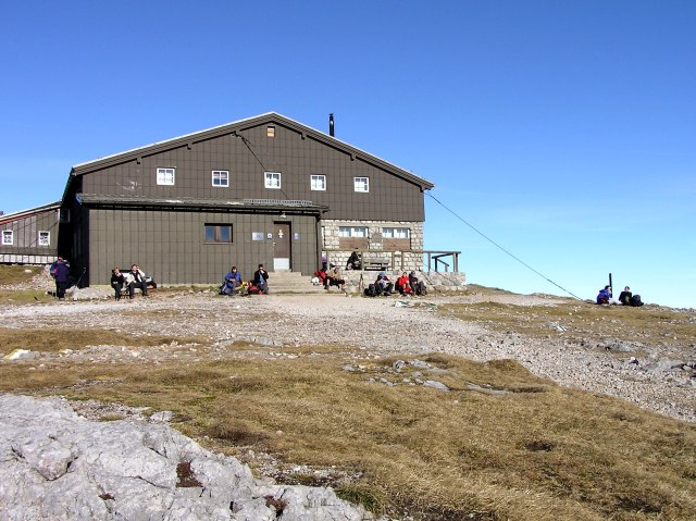
Fischerhuette, near the northern summit of Schnneberg at an altitude of 2.048 m above sea level. On the right side wall (not visible) two webcams are mounted.

360 Grad - panorama taken from near the summit of Schneeberg in 2.076 m altitude. Click into the picture for a larger version.
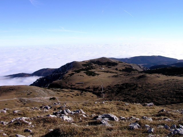
The eastern Schneeberg plateau with Damboeck house (1.810 m, the house behind)
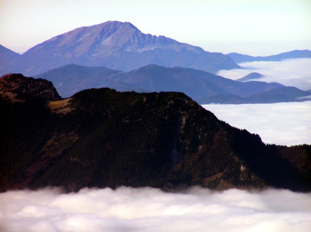
Oetscher
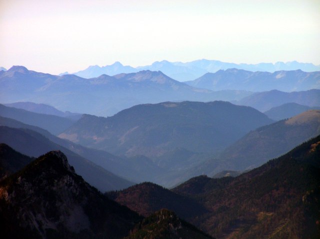
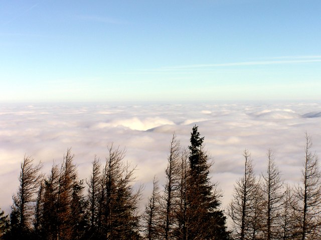
View till Niedere Tauern ...
... and in southern direction till Koralpe, to the right behind, only very faintly visible, Karawanken (south of Klagenfurt!) in a distance of 240 km !
"Now we go back, don´t we ?"
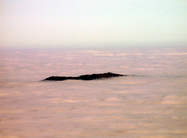
Unterberg (1.342 m) just about looking out of the cload sea.
Now the descent has begun, ...
... and the clouds look even more vividly in sinking sun.
"I can scramble, cant´ I?"
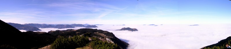
A last cloud panorama; The shadow of Schneerberg is rapidly growing now (about 3.00 p.m.) Click into the picture for a larger version.
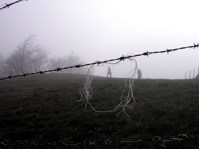
Back in the fog near Sparbacherhuette, being covered completely now, as well as the above discribed side ridge. Hoarfrost has increased over the day.