Saubersdorf Fields 8.12.2020
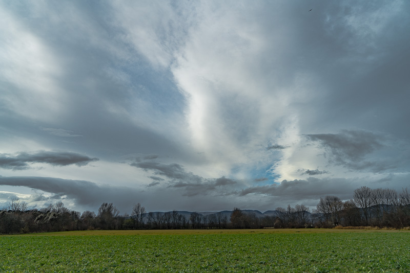
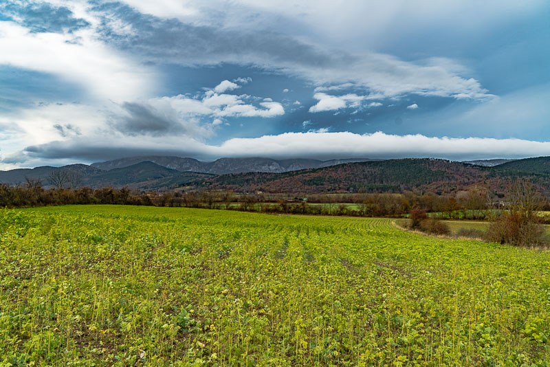
Easy 2 hours´ stroll at lunchtime. After sunny weather in the morning, clouds are drawing in now ...
from southwest, ...
... the advertiseed mediterranean Low (which has brought more than 2 m of snow to upper Carinthia and Eastern Tyrol!)
Interesting cloud formations.
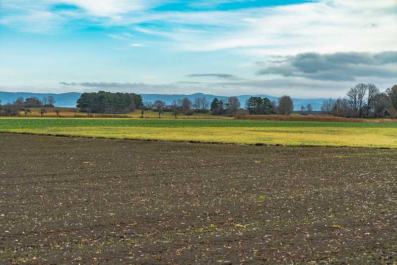
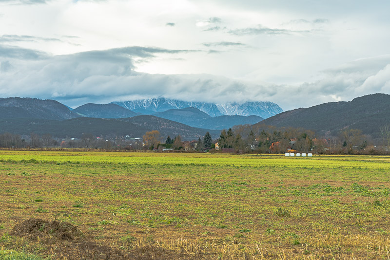
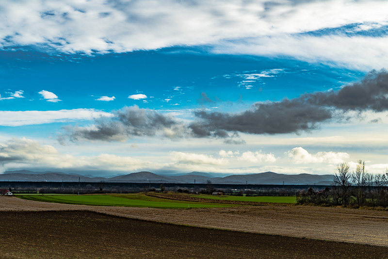
View in opposite direction, with Schneeberg behind, over the plain fields of the "cove" to the hills, just about 10 m high, dropping down behind to Saubersdorf about 20 m. Behind, the Steinfeld ("Stone filed") begins, in the background the Rosalia mountains. Far right beneath the trees, ...
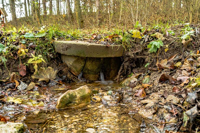
... a small well comes out over the whole year. The drainage basin of the well is only some 10 m higher, ...
... but comprises this (as seen in the former picture behind situated) small raised area heading for St. Egyden. It seems that water can drip here, is stopped by some conglomerate rock plates in the ground and comes out with the well.
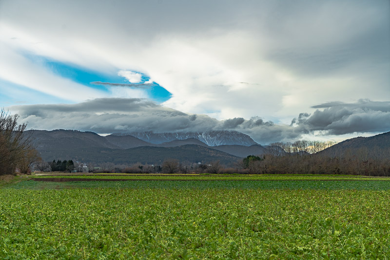
View back to the mountains not far from the well.
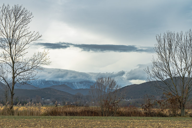
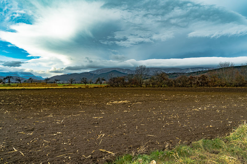
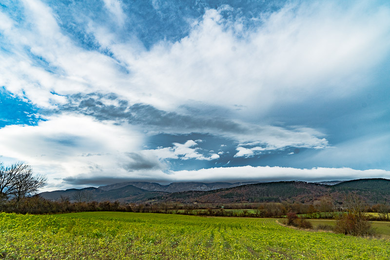
The clouds are getting even more interesting now.
A bank of clouds settling along the Hohe Wand.
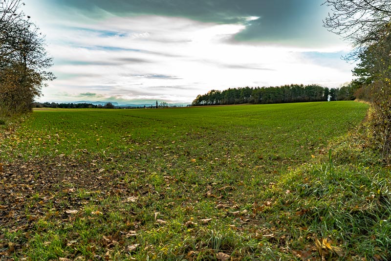
View in the opposite direction to the Rosalia mountains.
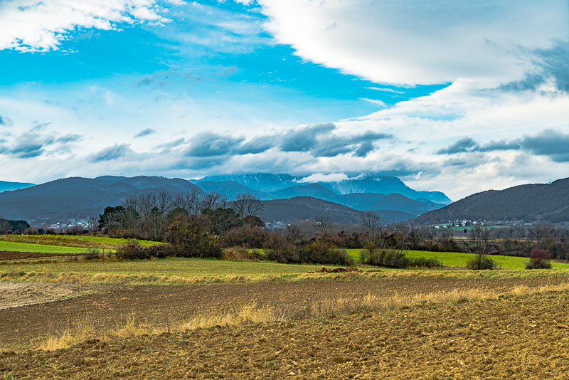
The chain of hills is a bit broader than can be seen from beneath. Behind us, the drop is about 10 m farther than in front.
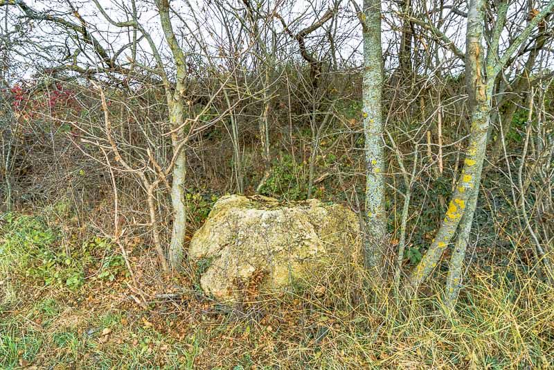
At an embankment near the gravel road, there is a big rock, ...
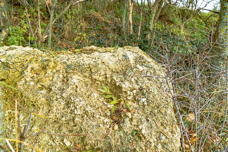
... which, on closer view, turns out to be conglomerate rock. As to the geological map, this rock formation is called "Rohrbach conglomerate", after a quarry near Rohrbach, a small village near Neunkirchen/Ternitz. It comprises solidified gravel, sedimented by a river some 7 millions of years ago. Corresponding to the catchmenmt area of the river, the conglomerate not only contains limestone, but also crystalline rock of the Grauwacken zone of the Semmering region.