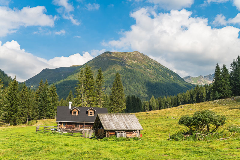
Rudolf Schober Hut 30.8. to 1.9.2019
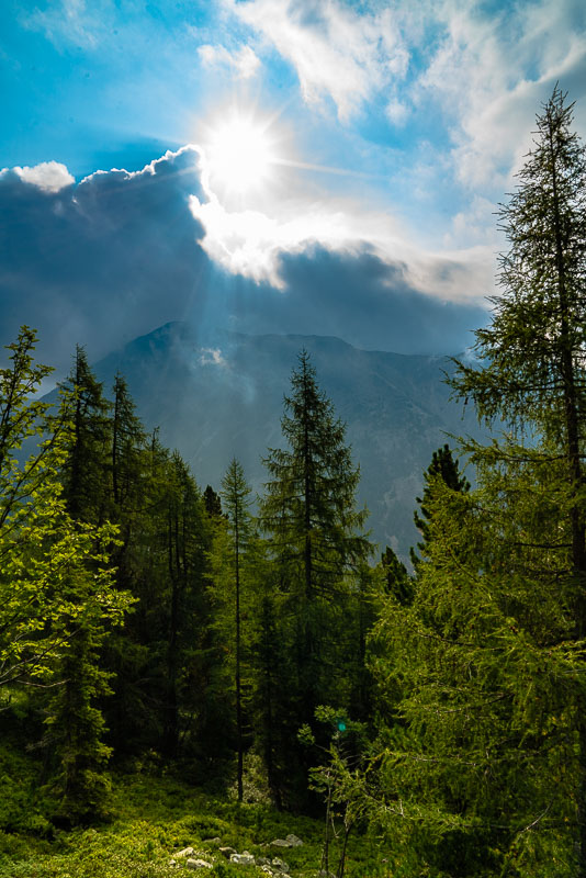
I draw back for an elongated weekend to the Rudolf Schober Hütte in the Niedere Tauern. I spend two nights in this very rustic hut at 1.650 m asl, more than 120 years old and belonging to he Austrian Alpine Club.
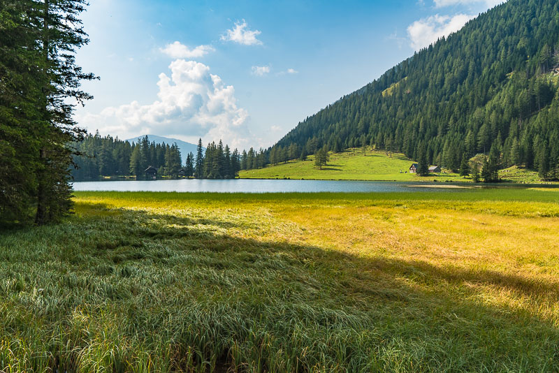
Friday, 30.8. Start at Lake Etrach, at 1.374 m asl, where a tarmac road ends.
Etrachsee, view back out of the valley.
It is cloudy with little prospect, so I leave my camera at the hut, together with most ofmy luggage. The following pictures are from my mobile phone.
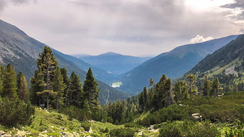
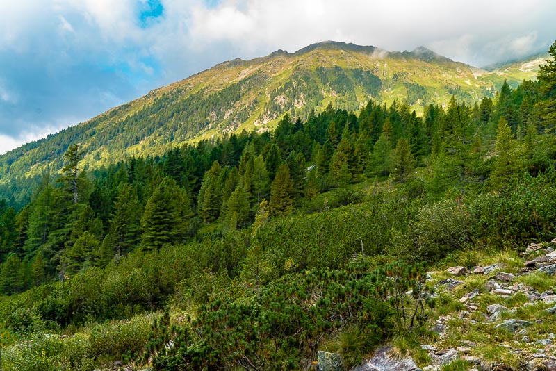
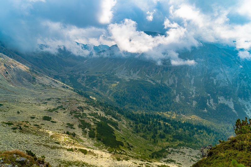
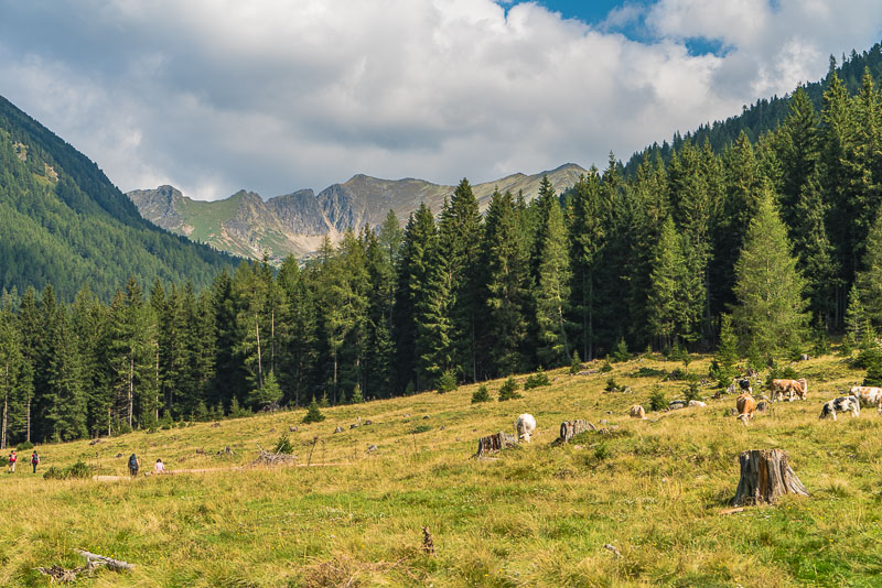
Etrachsee in the distance. Here Austria´s largest Swiss pine forest.
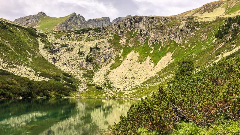
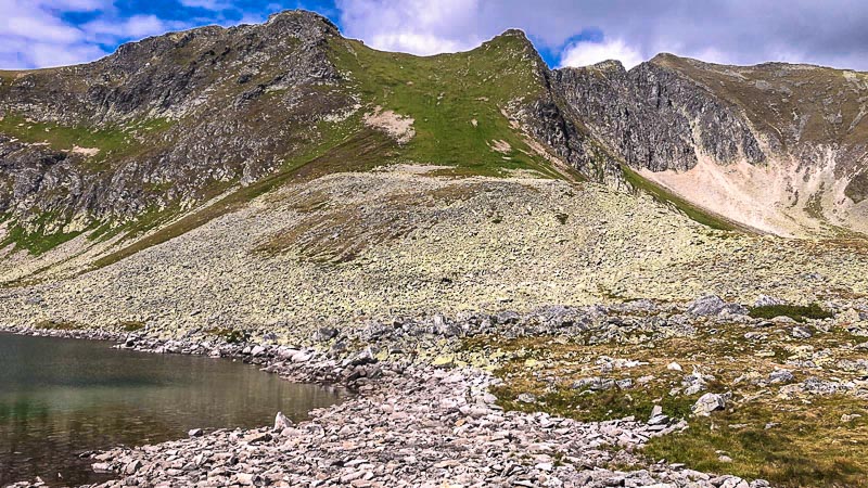
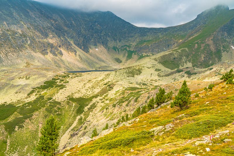
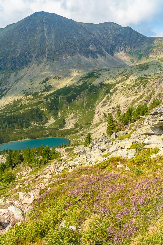
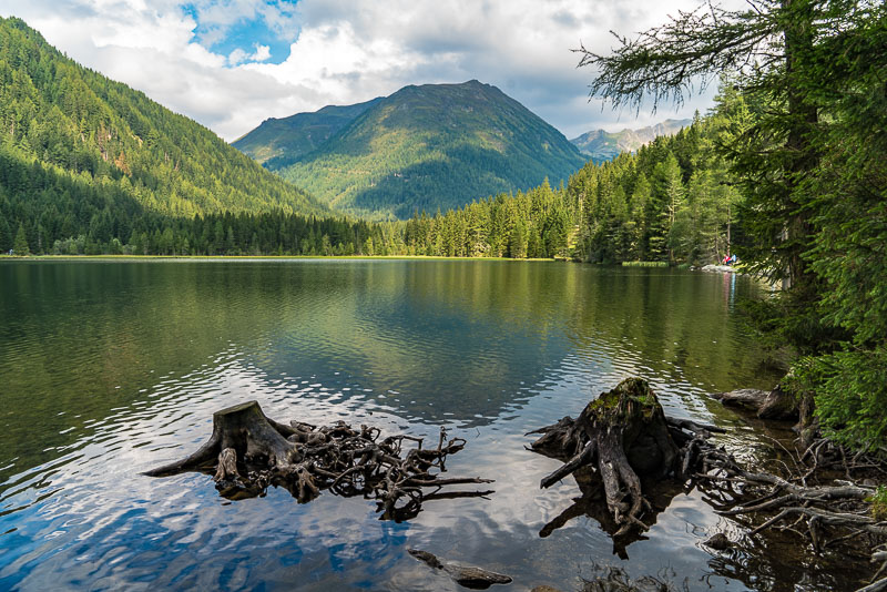
Lower Wildenkarsee (1.891 m).
The weather is improving - so I decide to proceed a bit further ...
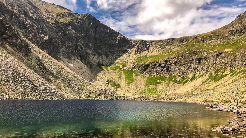
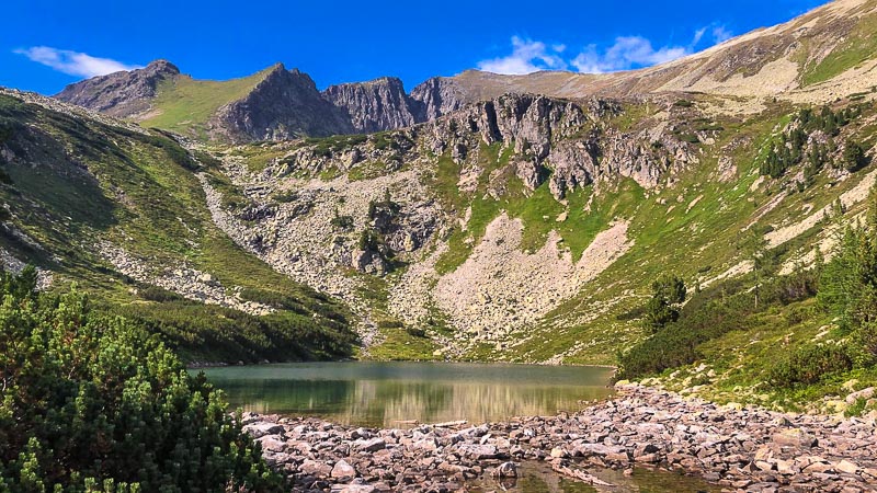
... and finally reach the upper Wildenkarsee (2.053 m)
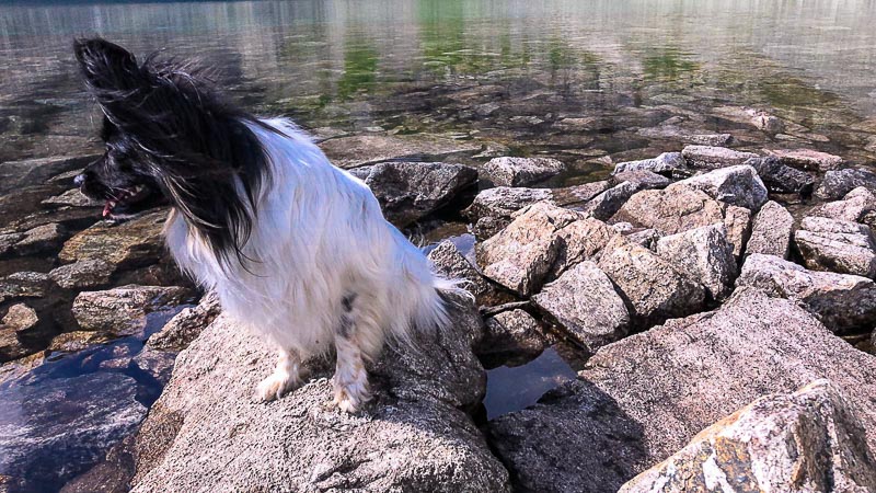
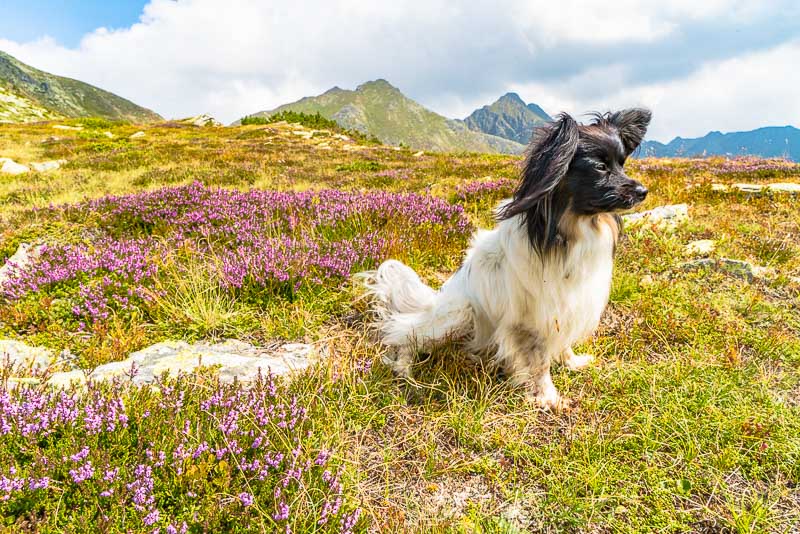
Bella
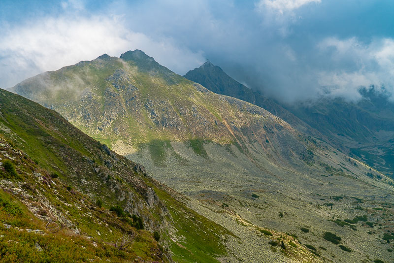
View to the Bauleiteck (2.424 m, far rechts), which I want to climb tomorrow.
I find a nice grassy place to take a rest.
Back at the Lower Wildenkarsee.
31.8.2019 - start to the Bauleiteck.
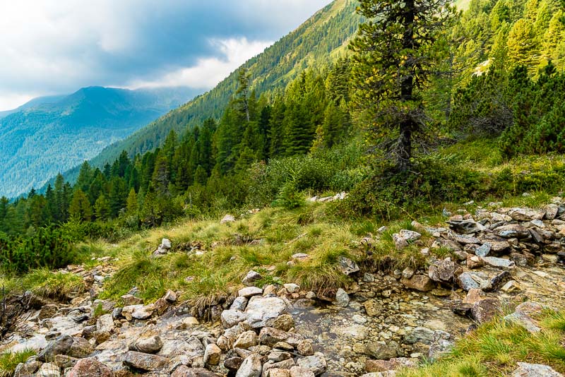
A nice beck flows down from the Wildenkarsee through the pine forest.
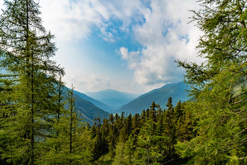
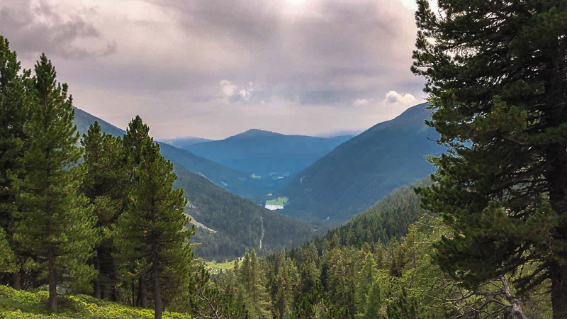
View to Etrachsee.
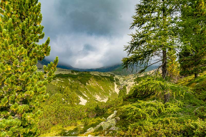
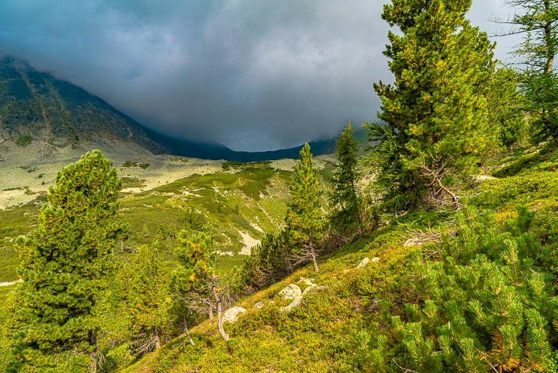
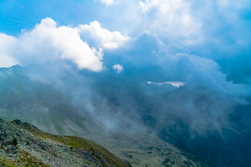
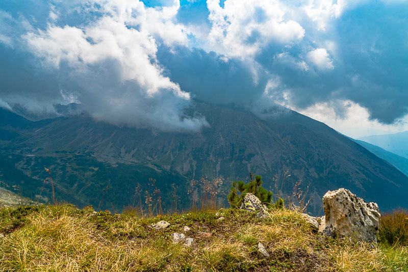
To the southeast, a cloud is permanently hanging at the Dachleiteck (2.463 m) and Ruprechtseck (2.591 m) - I have to watch it to see how it develops - you´ll never know.
At tomes, the sun comes out behind the Ruprechtseck and the clouds.
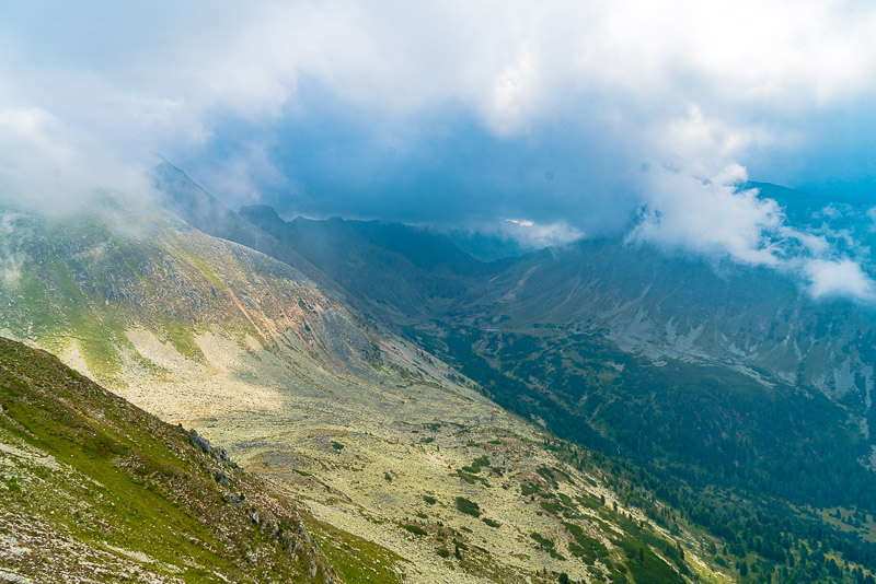
View out of thje valley, above the pine forest to the lake Etrach.
The forest gets lighter when I gain height - sonn I shall be at the altitude of the Lower Wildenkarsee.
Sun and clouds changing to nicely.
Flederweißspitz (2.386 m), left of the upper Wildenkarsee, within the mist.
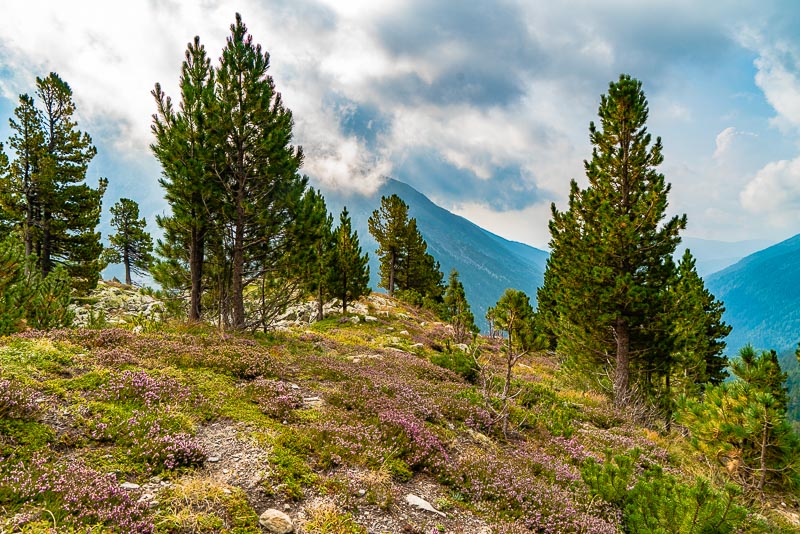
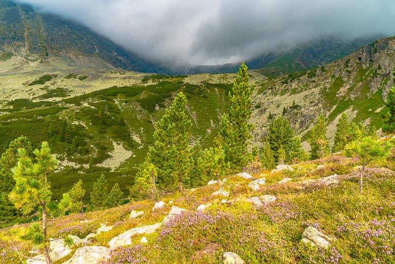
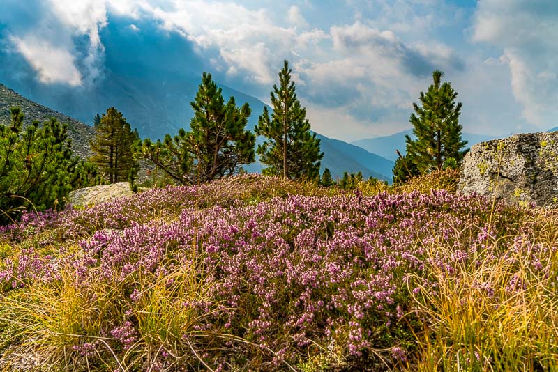
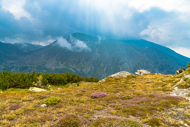
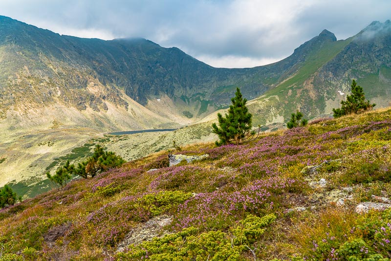
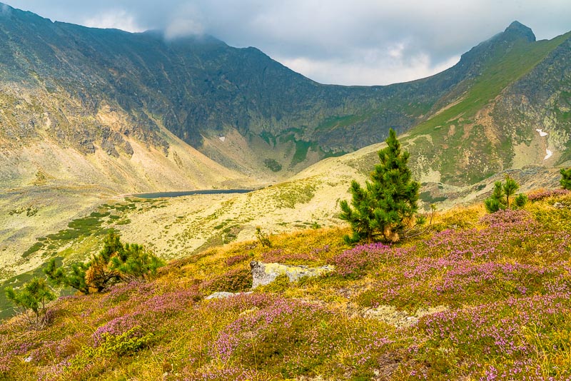
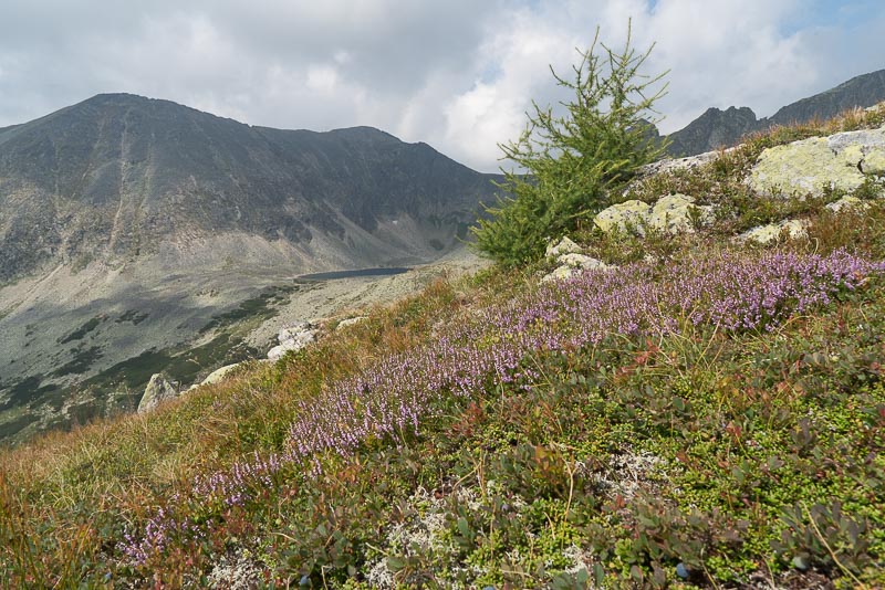
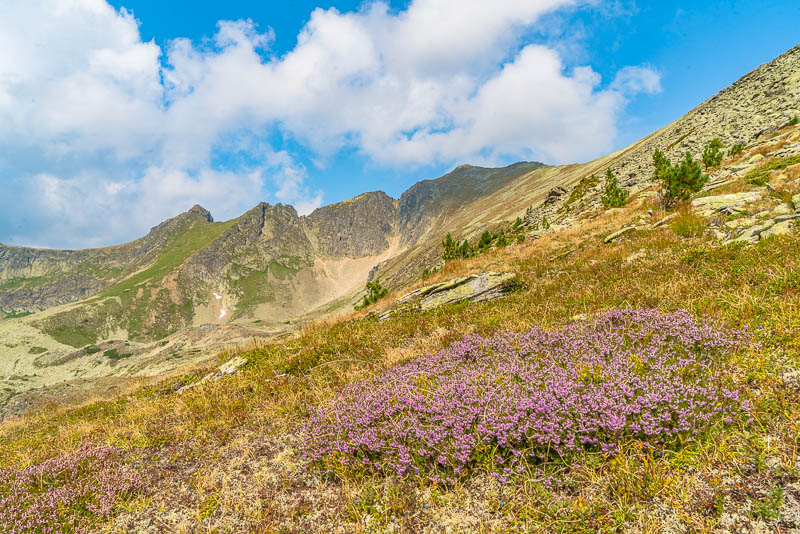
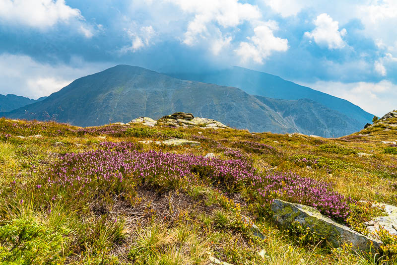
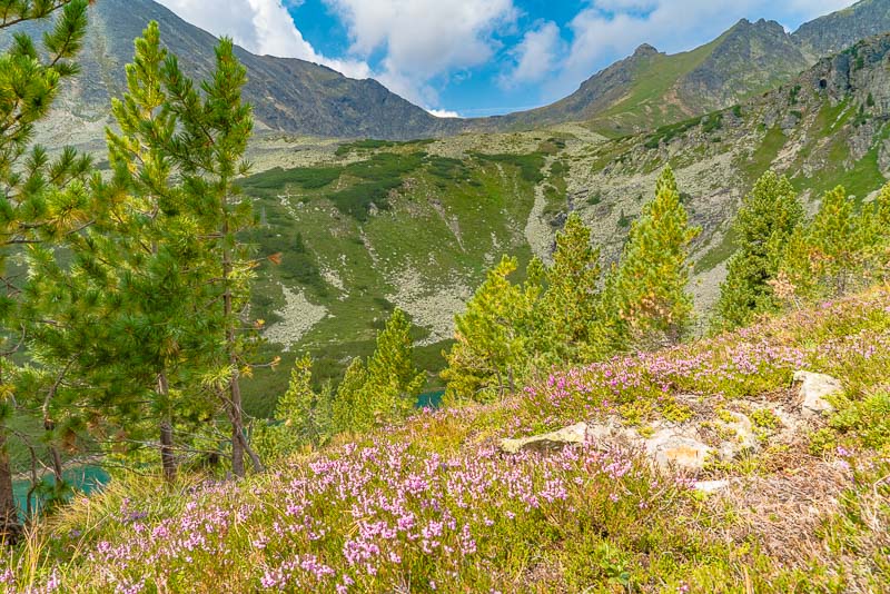
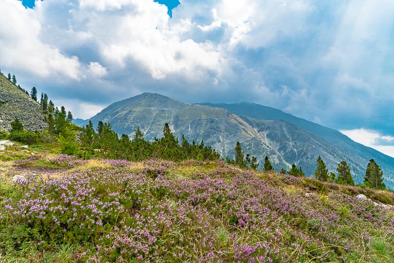
On an old ice aged lateral moraine above the lower Wildenkarsee, a wonderful habitat of common heather (Calluna vulgaris), in full flower now.
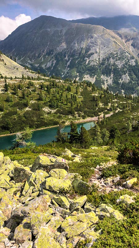
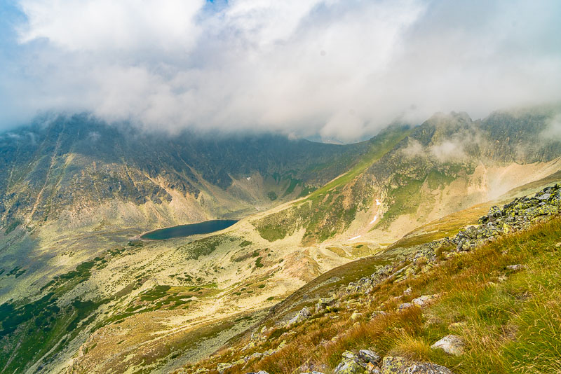
View up the valley of the upper Wildenkarsee, ...
... with the lower Wildenkarsee in front.
Lower Wildenkarsee.
Lower Wildenkarsee.
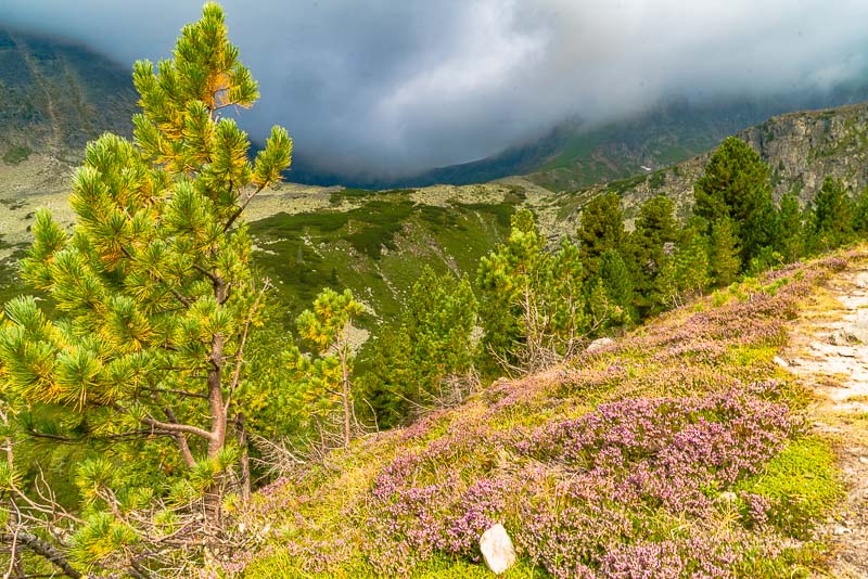
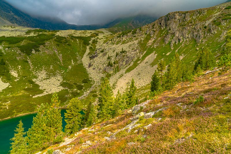
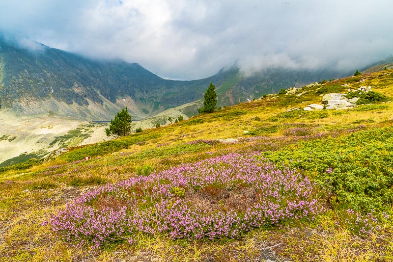
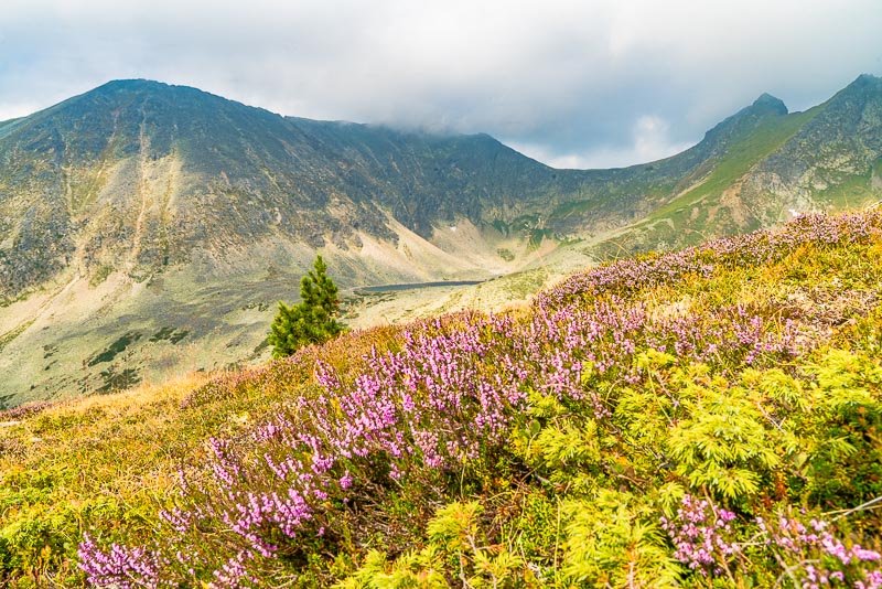
Common heather (Calluna vulgaris) and the view down the valley; still clouds on Ruprechteck.
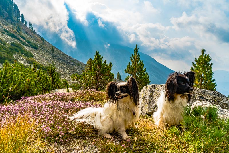
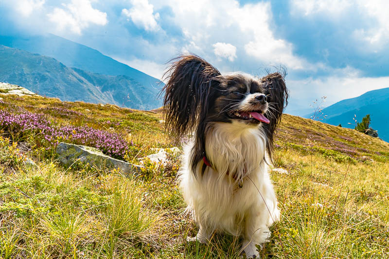
Lucy and Bella join me nicely, they always keep close to me.
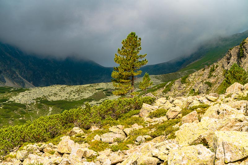
Last pine betwen moraine rocks.
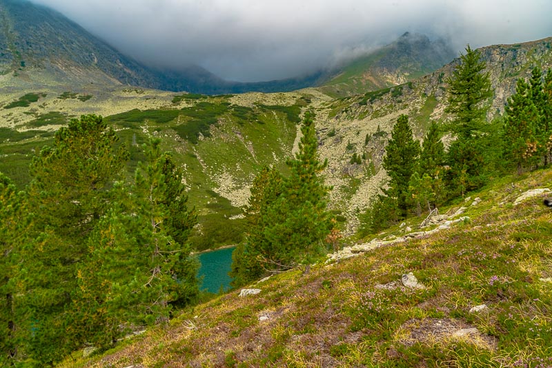
Lower Wildenkarsee.
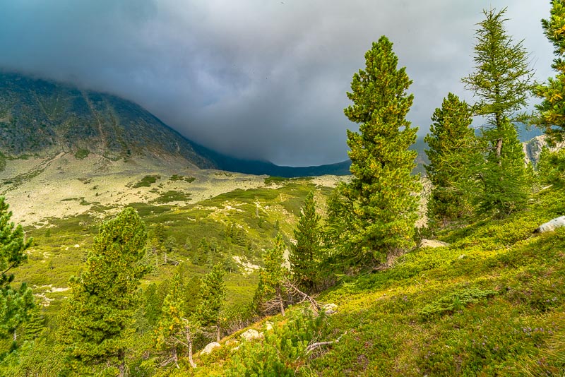
At times, the clouds draw back a little, but the summit of the Ruprechtsecks stays hidden.
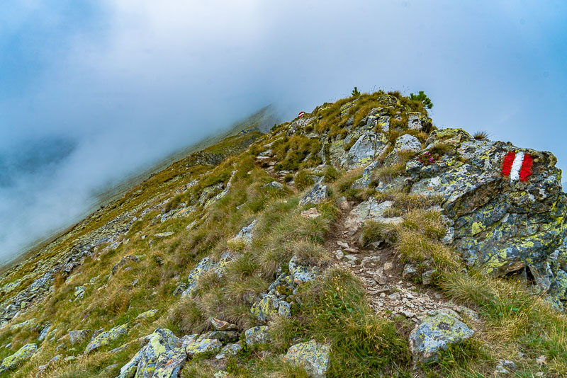
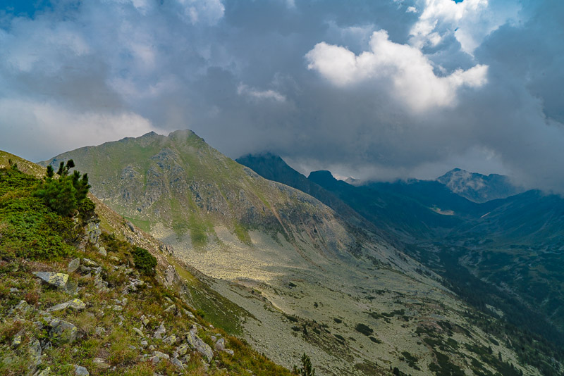
I have climbed an extremely steep slope up to the ridge leading to the Bauleiteck.
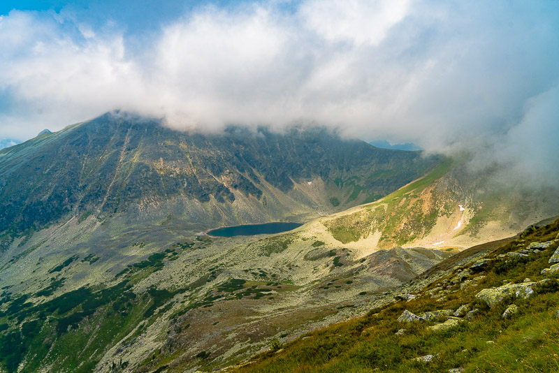
Now I get a view to the upper Wildenkarsee - arrived at near 2.100 m asl.
Common heather (Calluna vulgaris) in abundance here too.
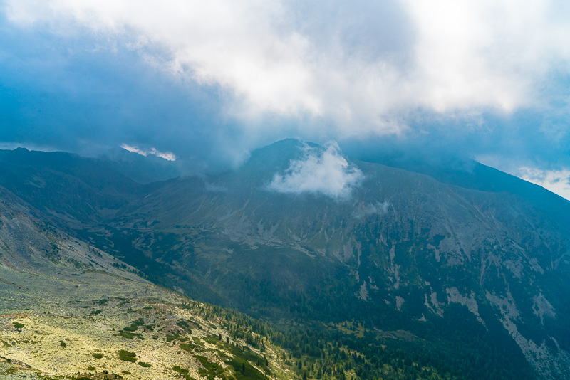
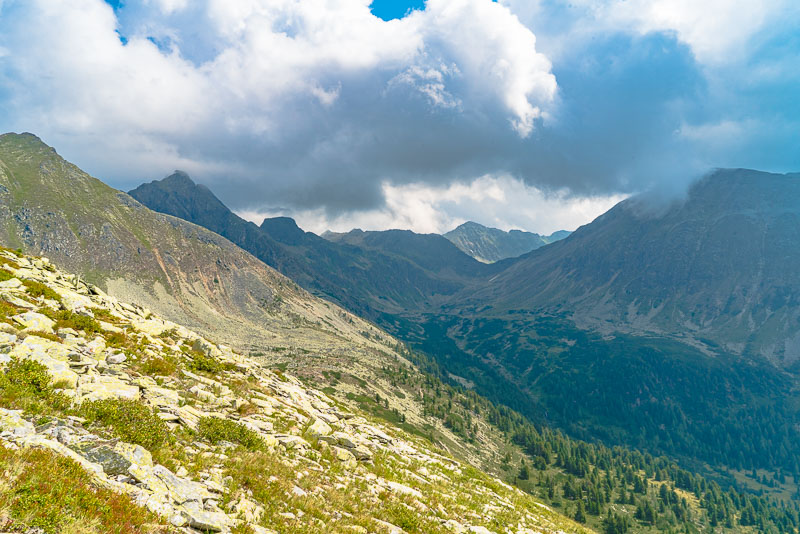
The eastern head of the valley with the Süßleiteck (2.507 m) far left, the angular mountain is the Schrein (2.410 m), Dachleiteck to the right still inside the mist.
Süßleiteck, Schrein, Dachleiteck and Ruprechtseck in the mist, Etrachsee to the right.
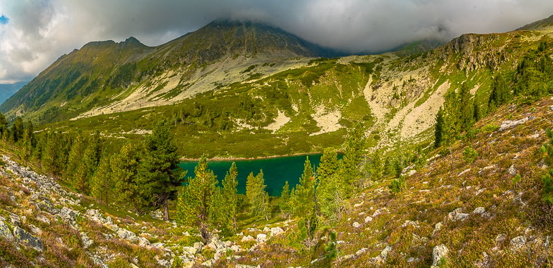
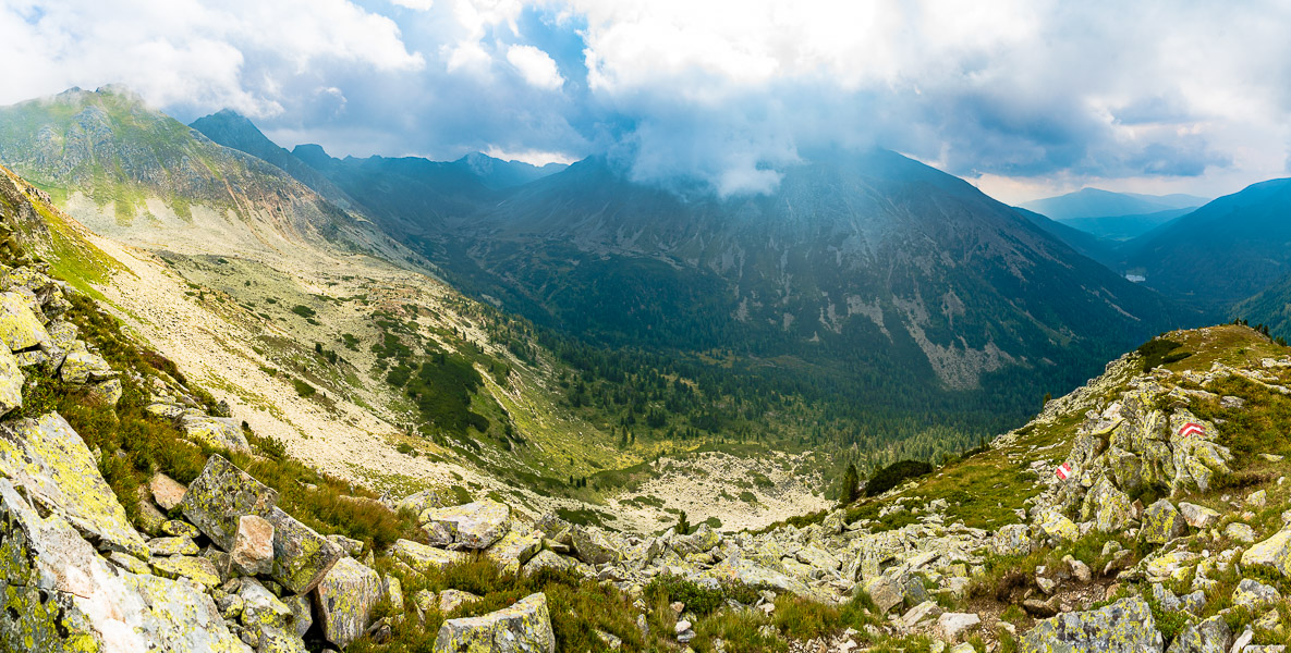
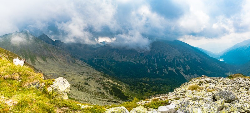
Panoramic picture taken from the ridge to Bauleiteck. Süßleiteck and Schrein to the left, Dachleiteck nearly free, Ruprechtseck wrapped in clouds. Then the valley with the Etrachsee, Flederweißspitze in the mist, lower and upper Wildenkarsee. Click here or into the picture for a larger display.
Upper Wildenkarsee
Light effects at the Ruprechtseck.
Light effects at the Ruprechtseck.
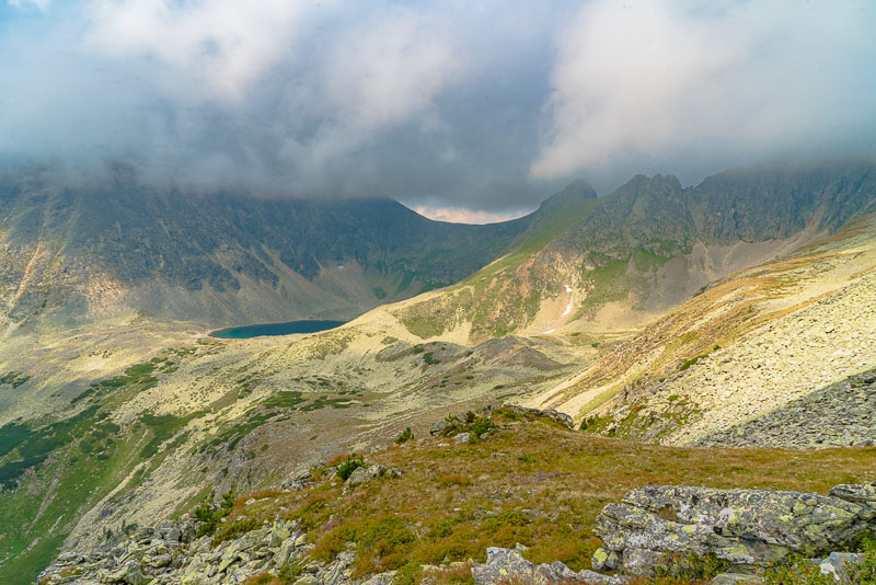
Upper Wildenkarsee
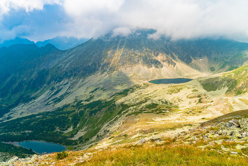
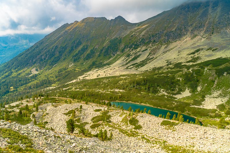
Upper and lower Wildenkarsee
Light effects at the Süßleiteck.

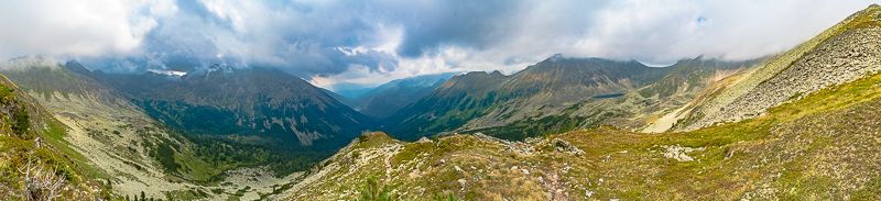
Upper and lower Wildenkarsee. Far right the Bauleiteck - Regrettably still wrapped in clouds. Click here or into the picture for a larger display.
Light effects at the Süßleiteck.
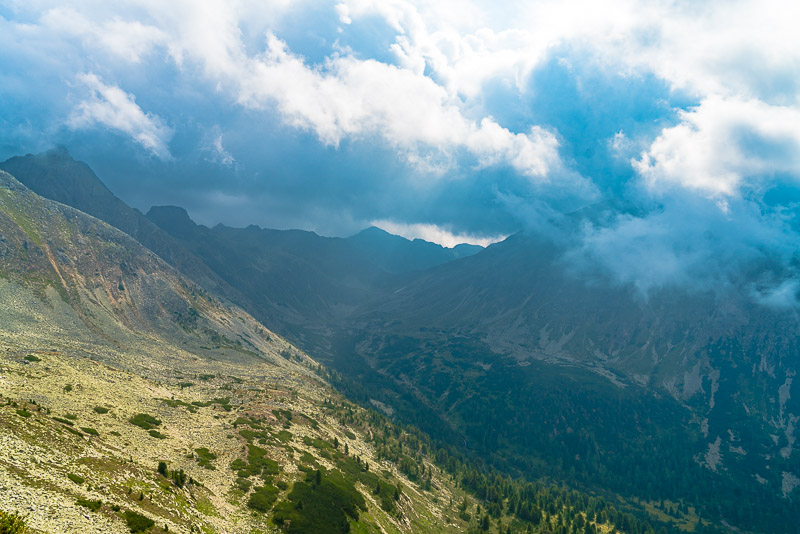
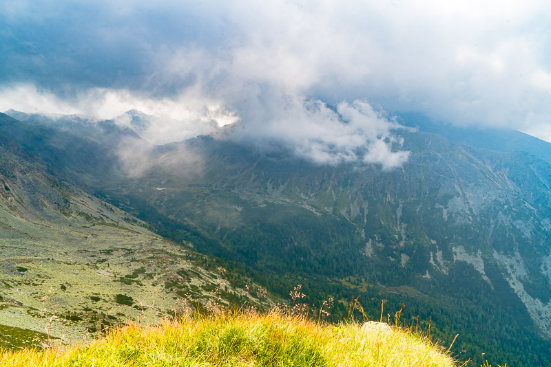
I have reached nearly 2.300 m asl. The summit is still in clouds, the slopes to the right are extremely steep, so I would have to take the dogs on the lead. So, I decide to turn back.
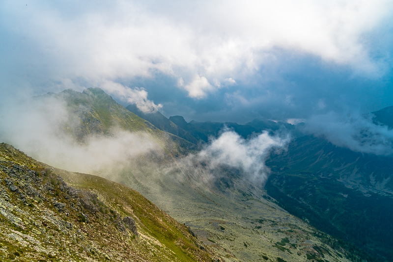
Swirling mist at Dachleiteck and Ruprechtseck.
Süßleiteck, Dachleiteck and Ruprechtseck, mainly wrapped in clouds. Click here or into the picture for a larger display.
Mist in front of Dachleiteck and Ruprechtseck.
Süßleiteck now free.
Mist in front of Dachleiteck and Ruprechtseck.
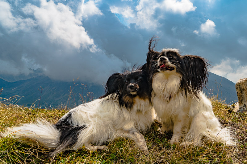
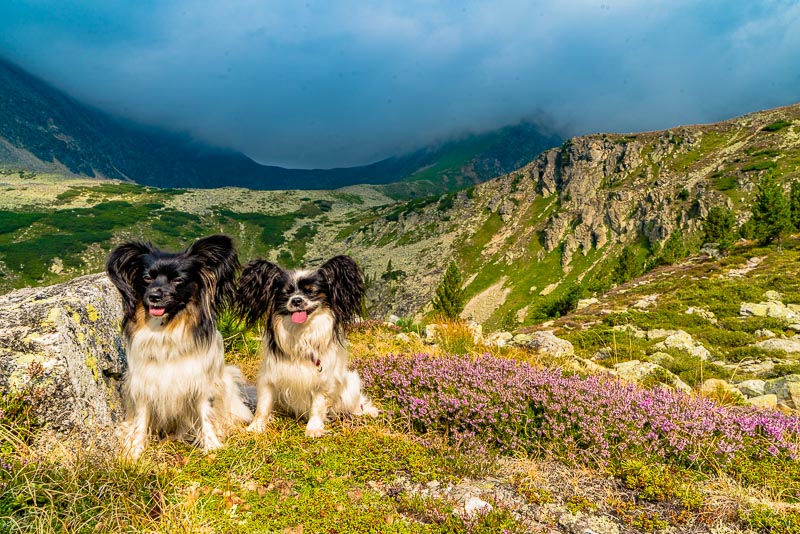
Lucy and Bella enjoy a short break.
Now the Schimpelspitze (in front of Süßleiteck) is free, das Süßleiteck behind inside the mist.
Upper Wildenkarsee. The saddle behind called Krautgartenscharte is free now.
Schimpelspitze and Süßleiteck free, as well as the Schrein.
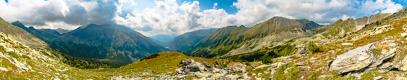
Half way back down - and like a mockery, the summit of the Bauleitecks (far right in the panorama) is free at last. However, I don´t turn back now. Click here or into the picture for a larger display.
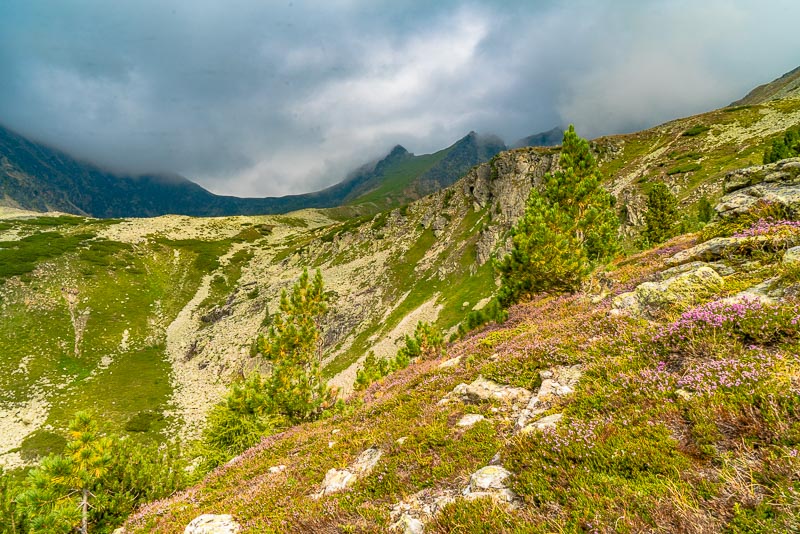
Further descent.
Ruprechtseck
Lucy ...
... and Bella.
Lower Wildenkarsee.
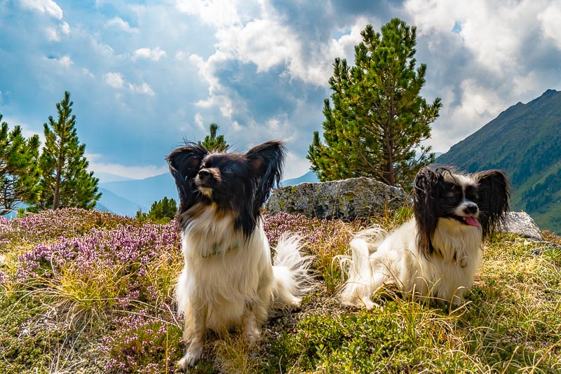
Lucy and Bella.
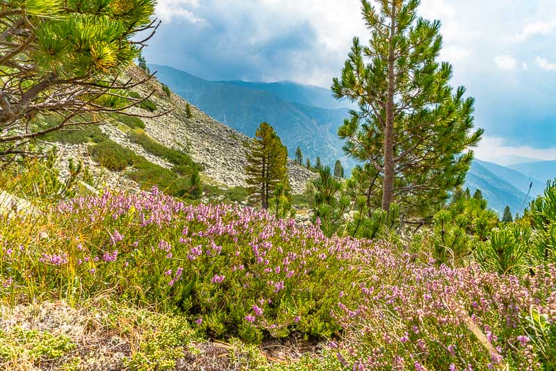
Back on the moraine with the common heather (Calluna vulgaris).
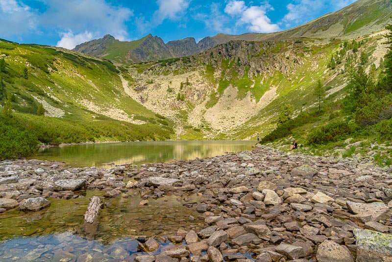
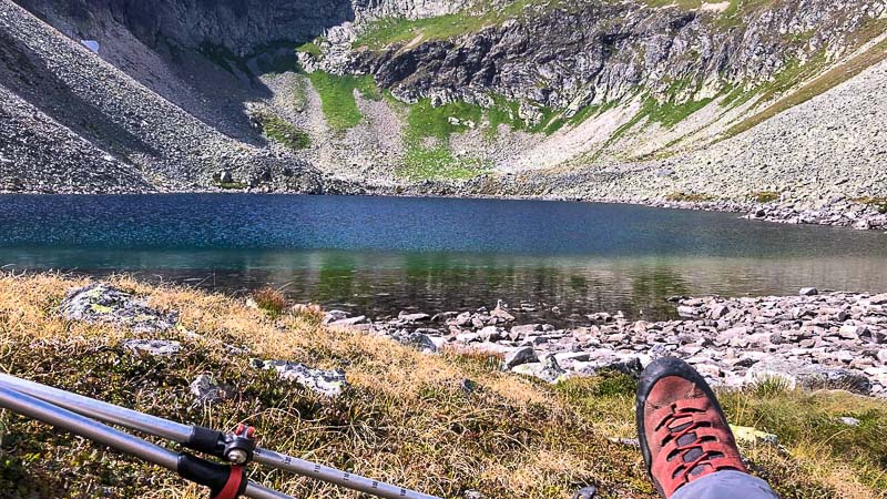
A very short detour to the Lower Wildenkarsee.
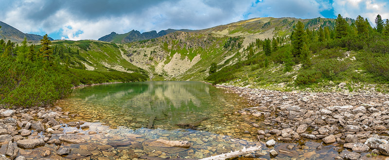
Panoramic picture of the lower Wildenkarsee. Click here or into the picture for a larger display.
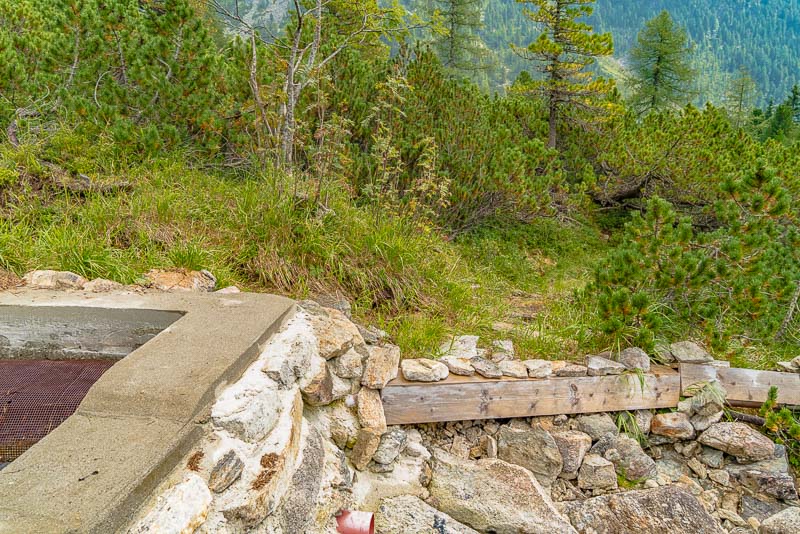
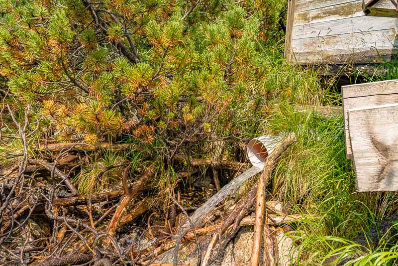
A second, very short detour to the beck, to see the water intake of the small water power plant that supports the hut with electric energy.
After a short penstock, the water is led to a collecting basin, ...
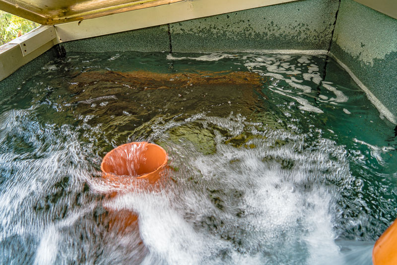
... which has a spillover, ...
... flowing back into the beck.
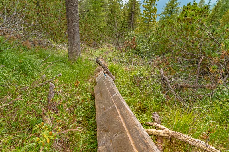
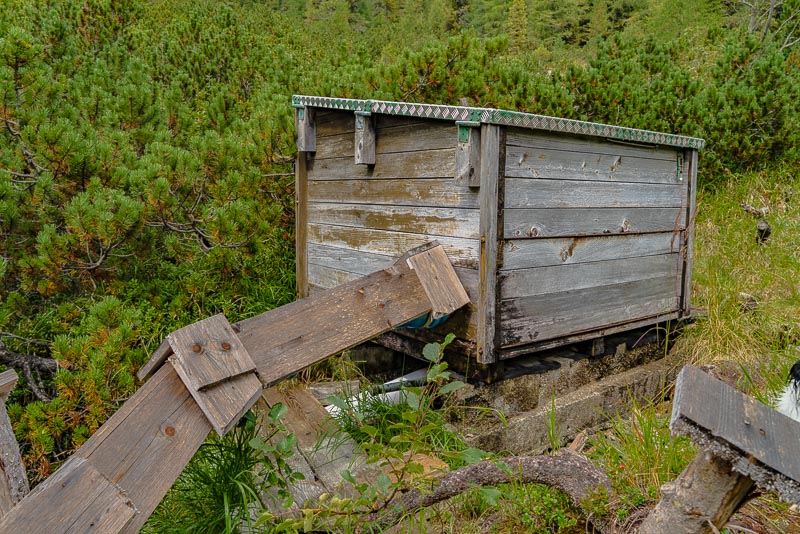
From the copllecting basin, the pressure pipe leads down to the small power station behind the hut, about 40 m deeper. It is encased with wood to prevent damage of the plastic pipe by UV irradiation.
1.9.2019: A gentle morning stroll around the hut.
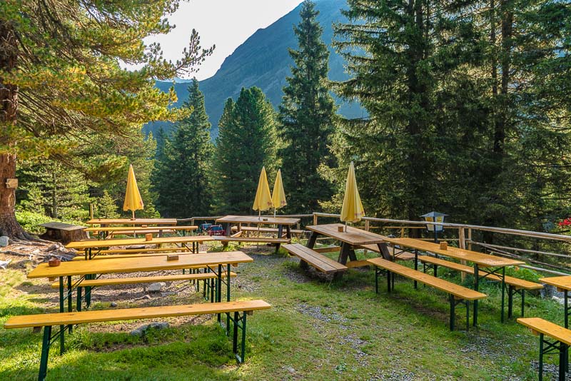
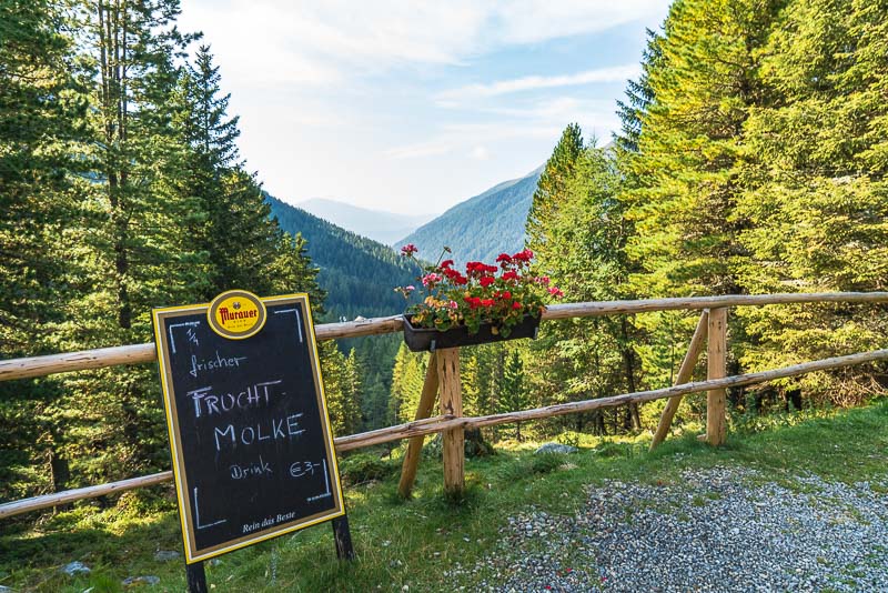
Garden "restaurant"...
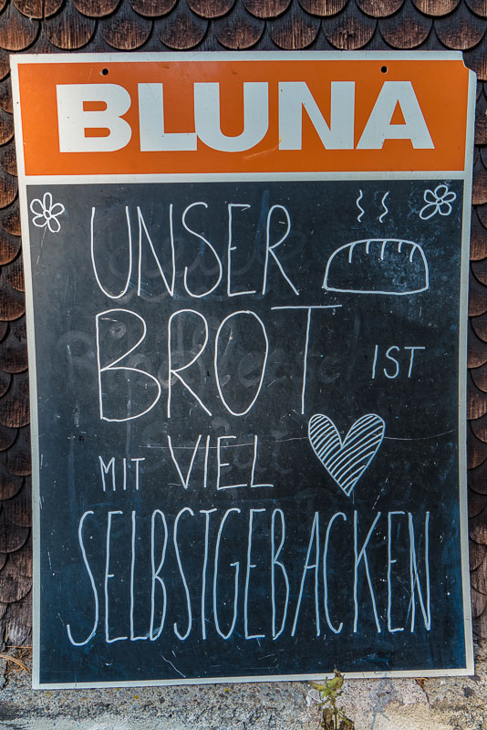
Advertising self-made bread.

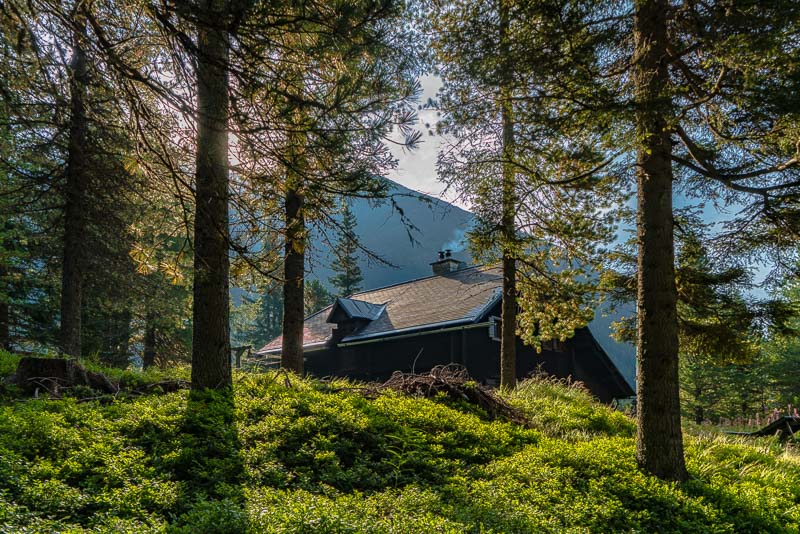
... Rudolf Schober Hütte.
View down the vally.
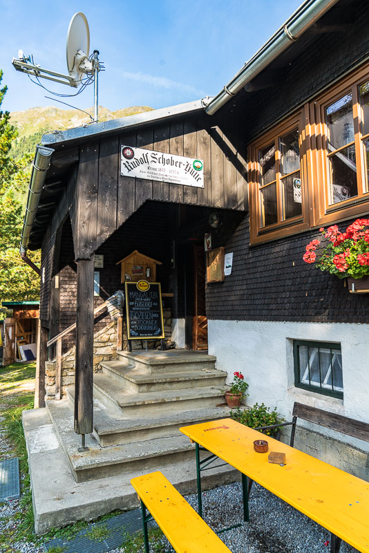
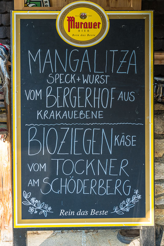
The caretaker uses biological food for most dishes, mostly from the surrounding region.
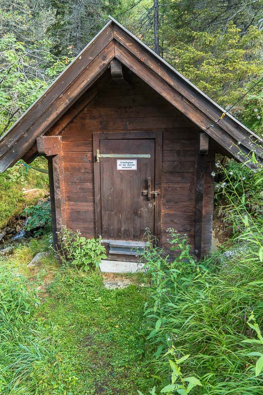
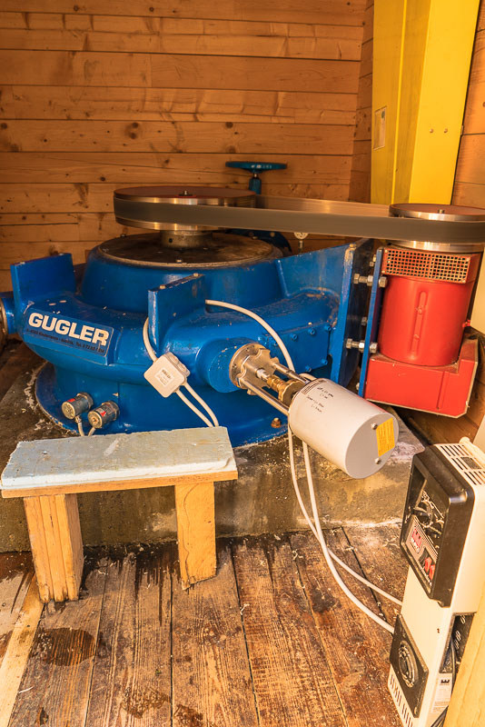
The small power station hut, the caretaker opens it for me, so I can see the turbine in action.
Walking down to the Etrachsee and driving home is the only goal of the day.

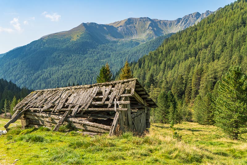
Grafenhütte on the way ...
... and Spreitzerhütte ...
... and I´m back at the lake.
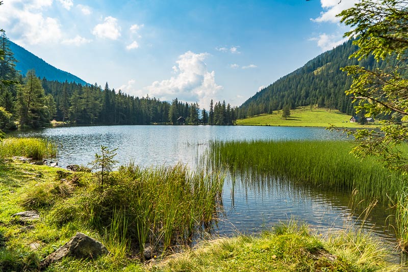
Etrachsee loking down the valley.
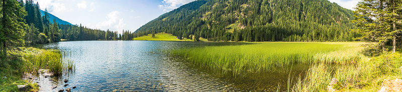
Panoramic picture of the Etrachsee. Click here or into the picture for a larger display.
Etrachsee
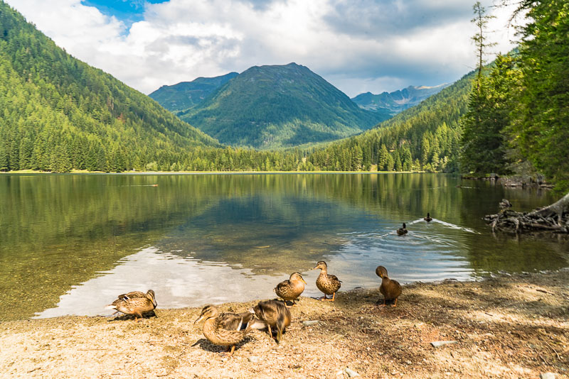
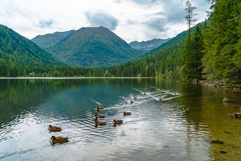
Etrachsee. On the bench at the lake, I sit down to get the car key out of the rucksack. The ducks get this completely wrong ...