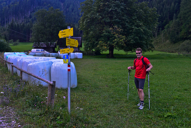
Crossing Rax 11.9.2012
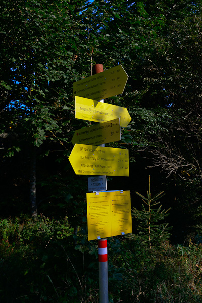
With my neighbour and friend Mario Hössl I start for a long linear walk crossing the whole Rax massive. We start from Hinternasswald at about 7 a.m. - up on the ridge called Nasskamm, then using the Gamsecksteig to the summit of Heukuppe, down to Karl Ludwig - Haus, then crossing the plateau via Seehuette, Preinerwand, Ottohaus, finally down via the Wachthuettelkammsteig to the Weichtalhaus, where my car is parked to bring us back to Hinternasswald. Walking time 10 1/4 hours, about 1 1/4 hours rest. 1.500 m ascent, 1.700 m descent.
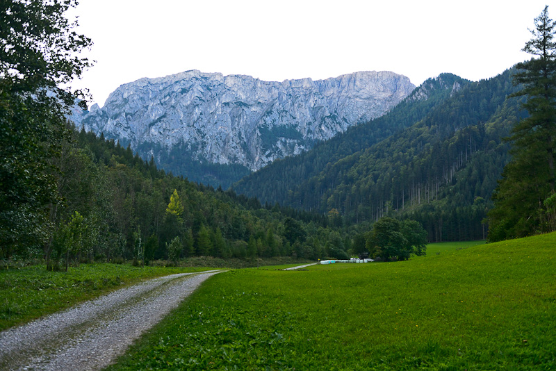
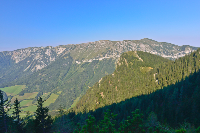
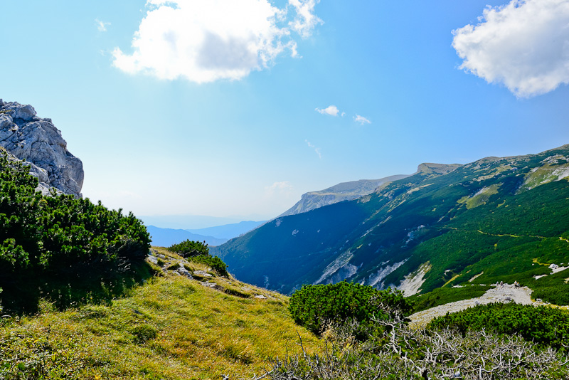
About 15 minutes behind Hinternasswald, the valley gets broader giving view to Kahlmaeuer, comprising the western outskirts of the Rax plateau in this area. My path branches to the right near the trees in the meadow, leading up to the ridge, then turning to the left and leading to the top behind the right end of Kahlmaeuer, through an area named "zahmes ("tame") Gamseck" as a route called Gamsecksteig (the Gamseck route, Gams = chamois)
Mario at the crossing. Straight ahead would lead to the Habsburghaus and to the route called Wildfaehrte, a ferrata a bit more difficult than Gamsecksteig, but also leading to the summit of the Heukuppe.
If you go ahead on the Nasskamm ridge, you can get down to the Muerz valley to the village of Altenberg. Our way is leading us up to the Heukuppe.
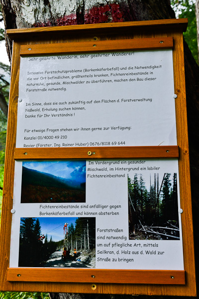
An information plate claiming sympathy for construction of forest roads. Bark beetles are the big problem here, so affected trees have to be removed. This only can be achieved with the aid of the roads.

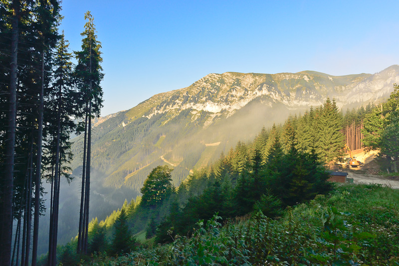
Deep morning sun shines into the forest ...
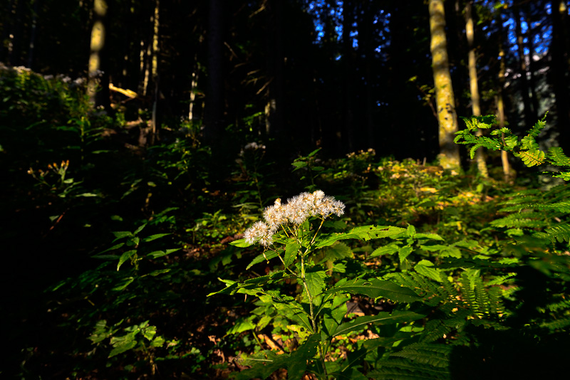
... enlightening the seeds of the Wood Ragwort (Senecio ovatus).
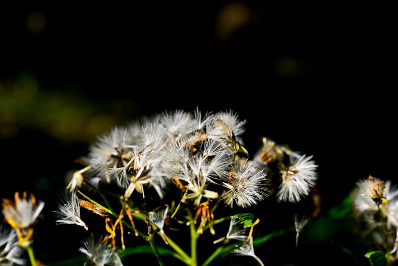
Seeds free for lift off.
Arrived on the ridge of the Nasskamm.
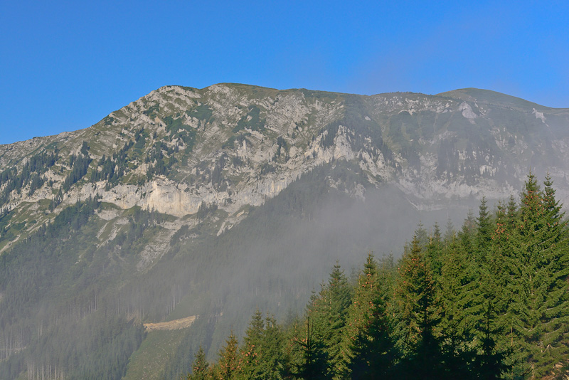
It´s weekday, so the wood works are in progress. View to the West to the Schneealpe massive. Here I did a long walk two years ago.
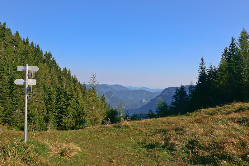
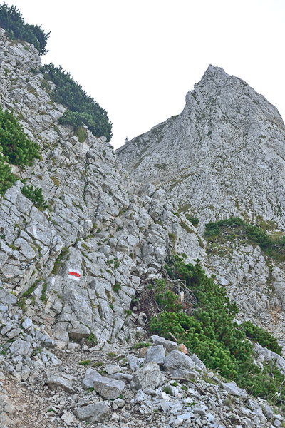
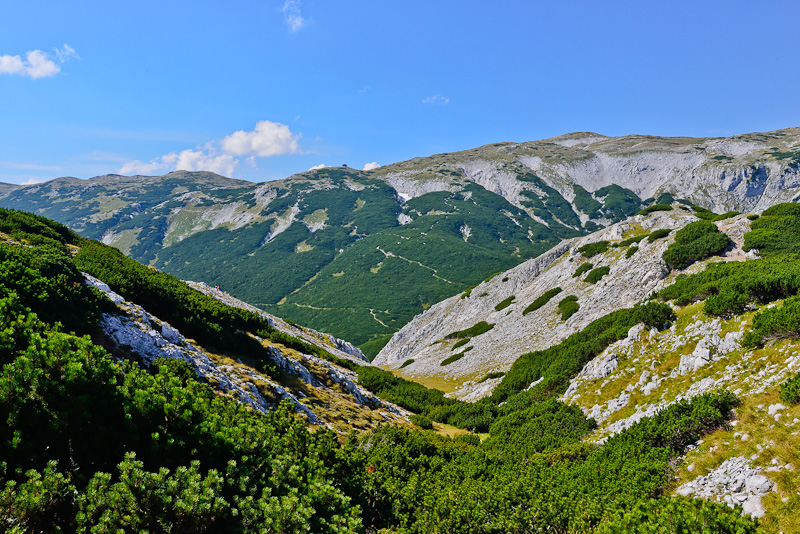
On a small saddle above the Nasskamm. Here, a route through the "wild Gamseck" branches off. Our Gamsecksteig leads through the "Tame Gamseck" .
Schneealpe.
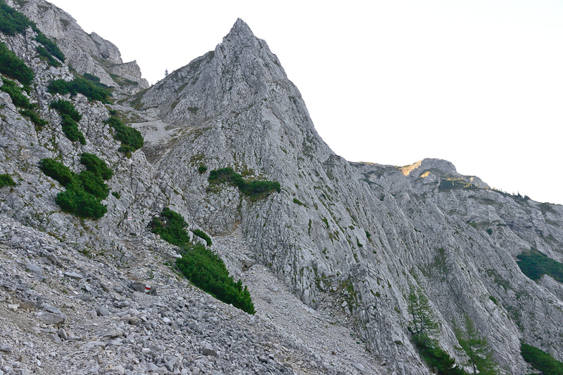
We now enterthe rocky zone, where ...
... ropes are mounted for security.
We had to cross this screes.
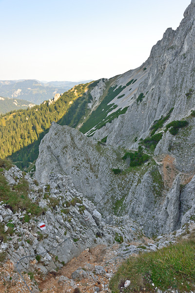
The route is a bit exposed in places ...
The last, uppermost part of the route is light scrambling - you wouldn´t need the ropes here, but I always use them because it provides more security.
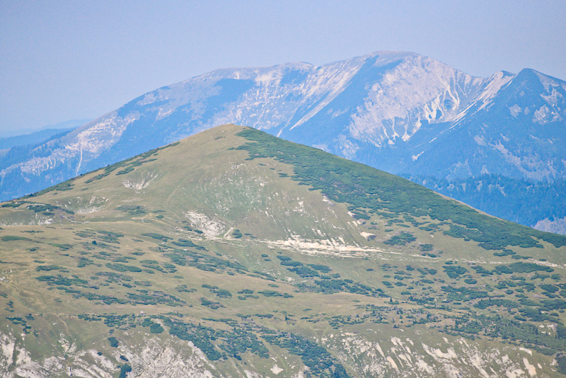
Oetscher (in the middle) and Goeller (right) make an appearance behind Schneealpe.
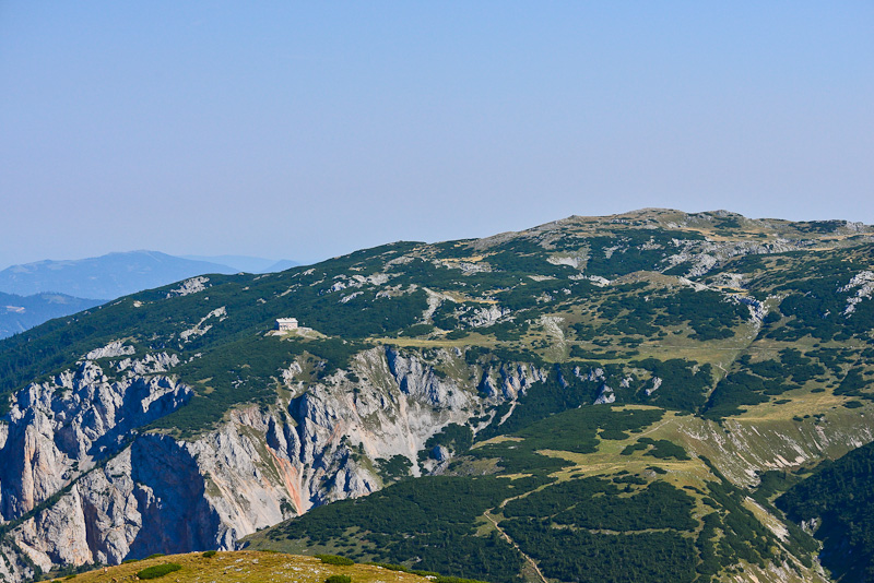
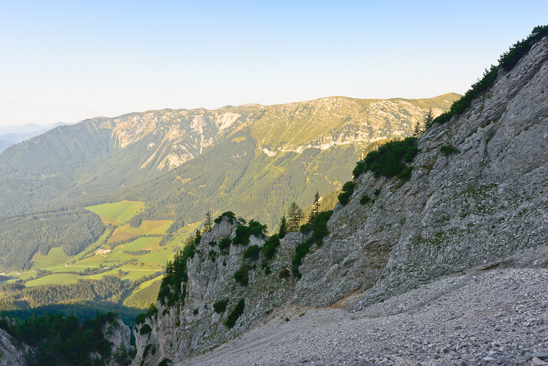
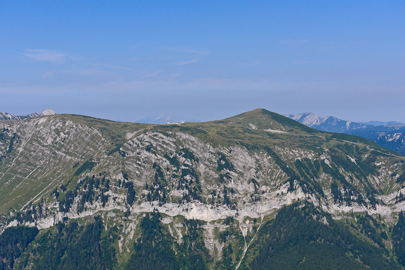
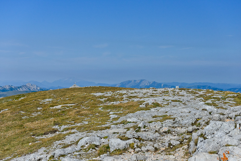
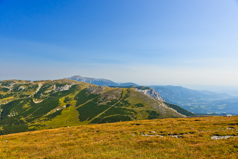
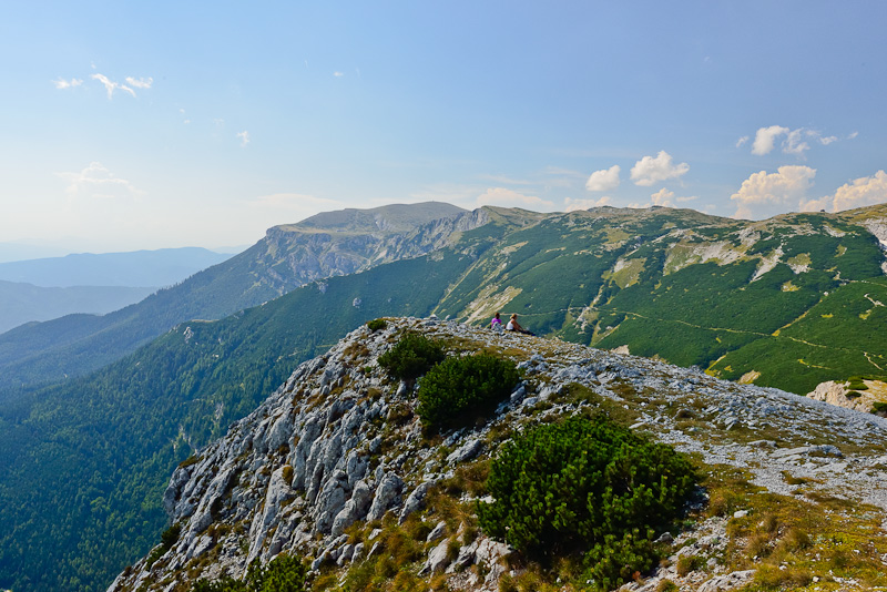
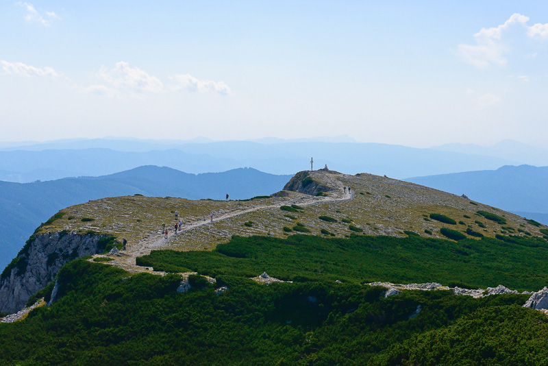
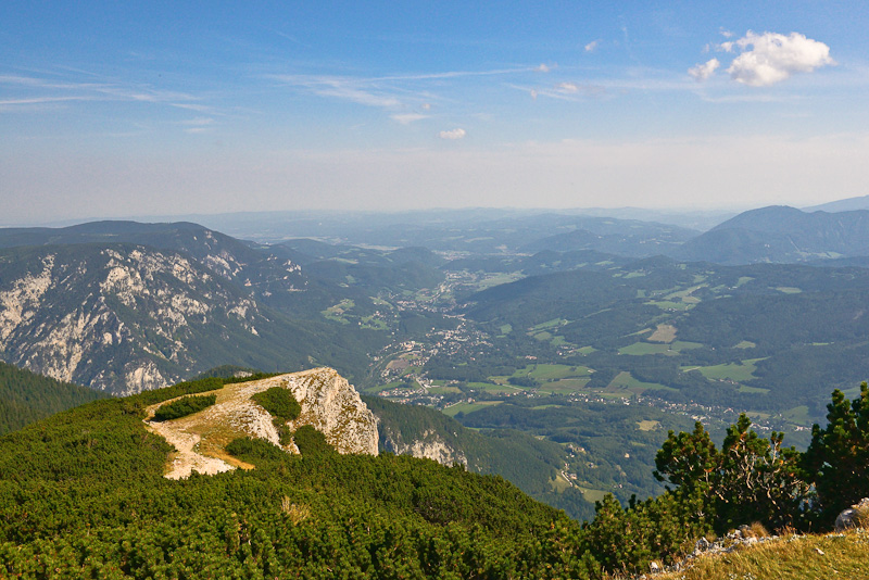
View over the southwestern part of the Rax plateau with the Habsburghaus, behind to the left is Unterberg.
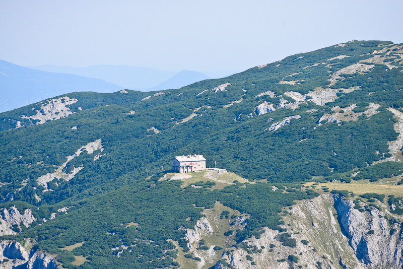
Habsburghaus and the summit of Scheibwaldhoehe
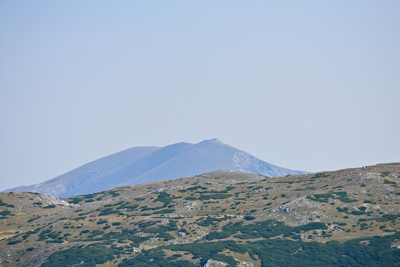
Schneeberg is rather far away still - this has to change remarkably during the day.
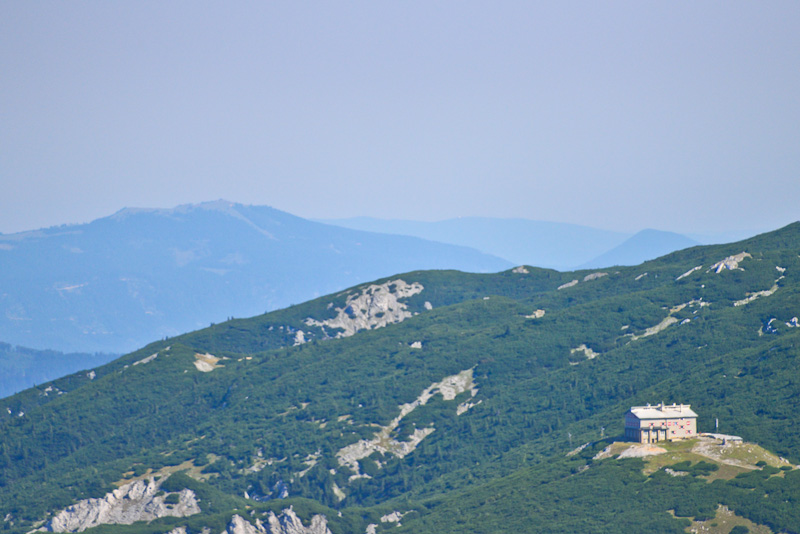
Unterberg and Habsburghaus maximally zooming in.
Maximal zoom to the Oetscher, in front to the right is the Ameisbuehelalm (Lurgbauerhütte) on Schneealpe.
Goeller is a bit to the right. The visibility could be better today, I have to use all the tricks of picture processing to clear up the distant mountains.
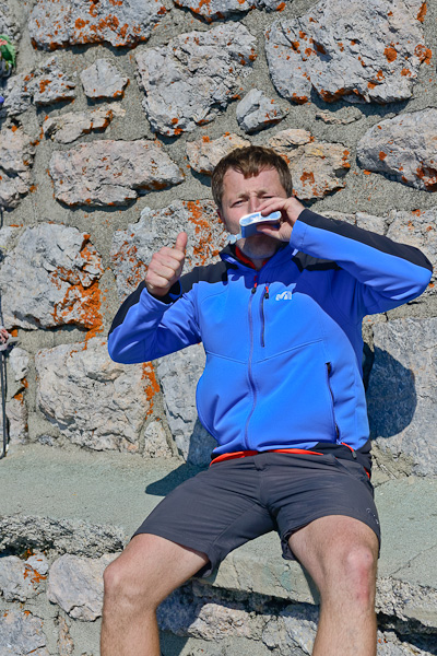
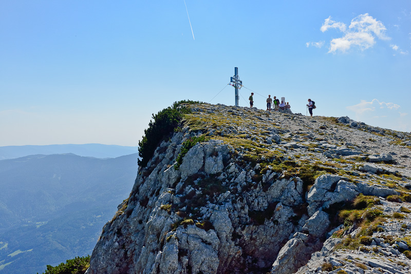
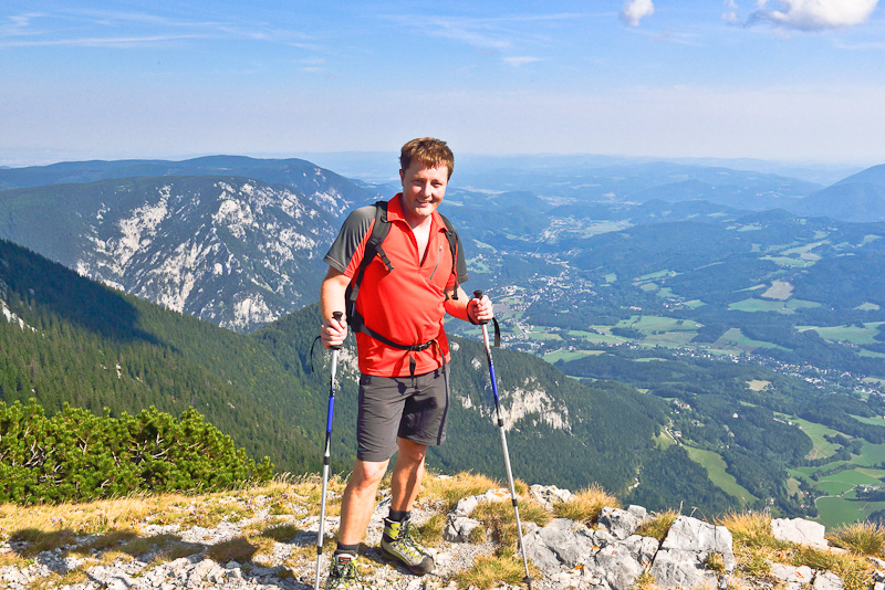
At the war memorial on the summit of Heukuppe (2.009 m) - our arrival has to be celebrated with a Flachmann (kind of hip flask, usually filled with high hard liquor).
"tastes nice ..."
The western part of the Heukuppe summit.
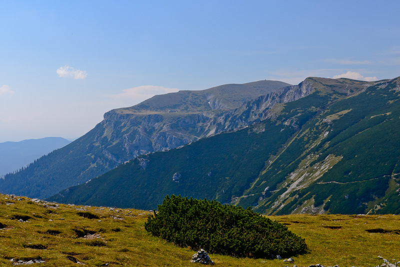
View from the Heukuppe to Predigtstuhl and to the Preinerwand. The Alpine hut of Karl Ludwig Haus far right. Behind to the left is Schneeberg.
Schneealpe and Goeller, far left is the Oetscher.
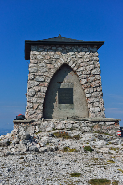
The war memorial built in 1956.
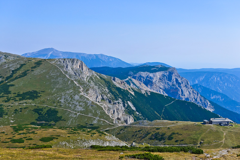
Predigtstuhl and Preinerwand (1.783 m), a climber´s paradise with several climbing routes and ferrata´s, far right the Karl Ludwig house.
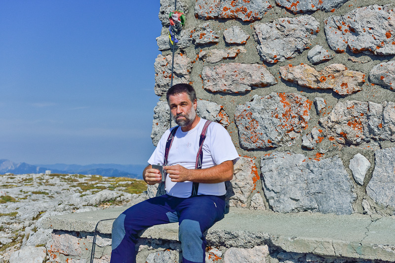
Here, we treat ourselves to 40 minutes of rest with a light meal.
A deep gully/dolina called Schneegraben ("Snow gully" - most of the year there is snow on the ground, as now, although it cannot be seen in the picture) , behind is Heukuppe, as seen from Karl Ludwig house.
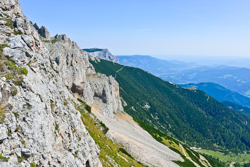
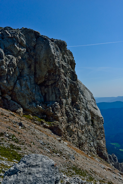
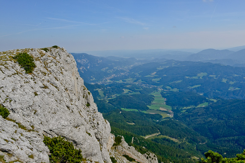
The escarpments of the Predigtstuhl with the viewe down to the valley of Reichenau. Preinerwand in behind.
The route called "Schlangenweg" to Karl Ludwig house.
Karl Ludwig house as seen from Predigtstuhl.
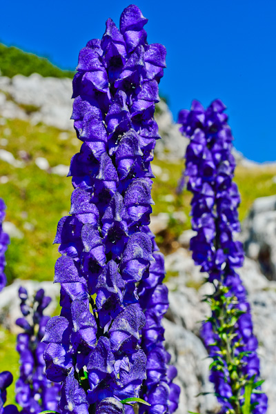
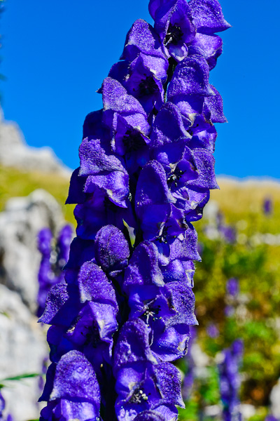
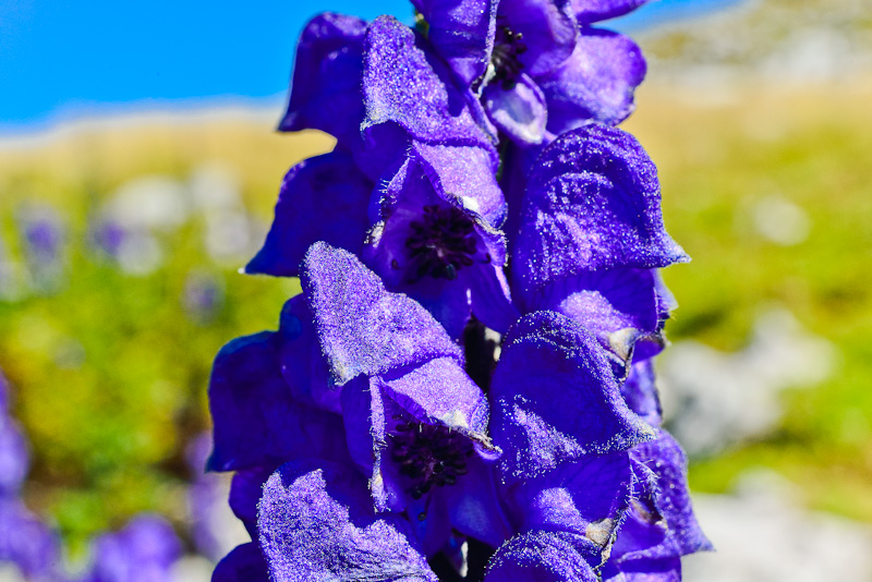
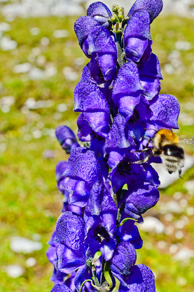
Monkshood (Aconitum napellus)
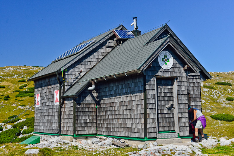
The Raxgmoa - rescue hut at the Trinkstein saddle (a hut exclusively used by rescue teams).
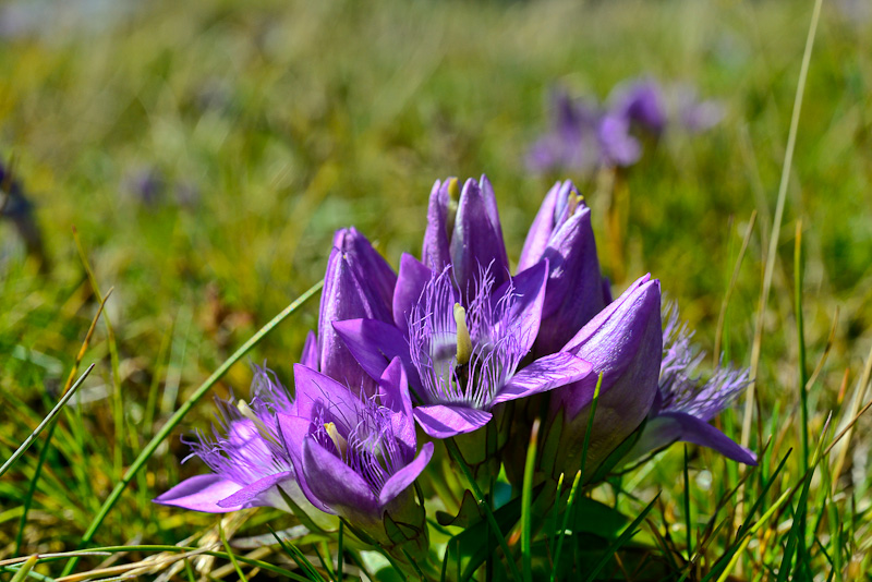
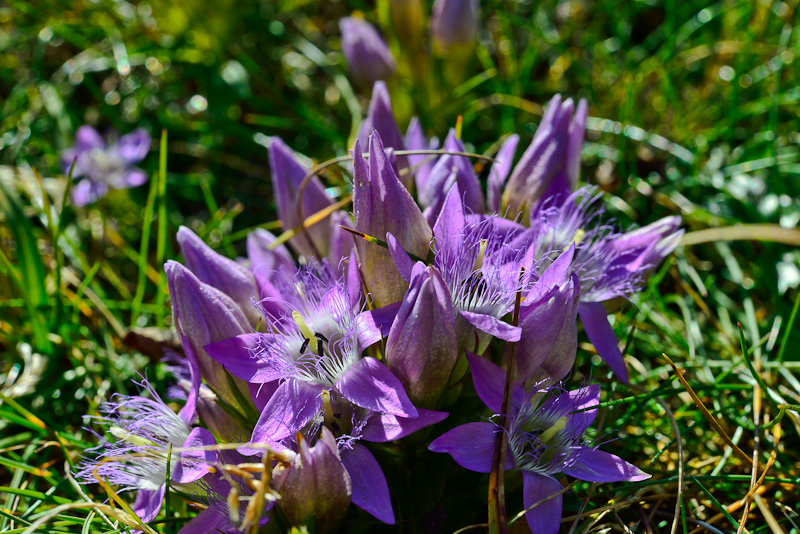
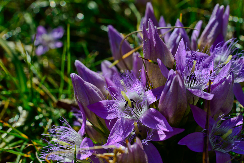
Austrian Dwarf Gentian (Gentianella austriaca) near the rescue hut.
Preinerwand
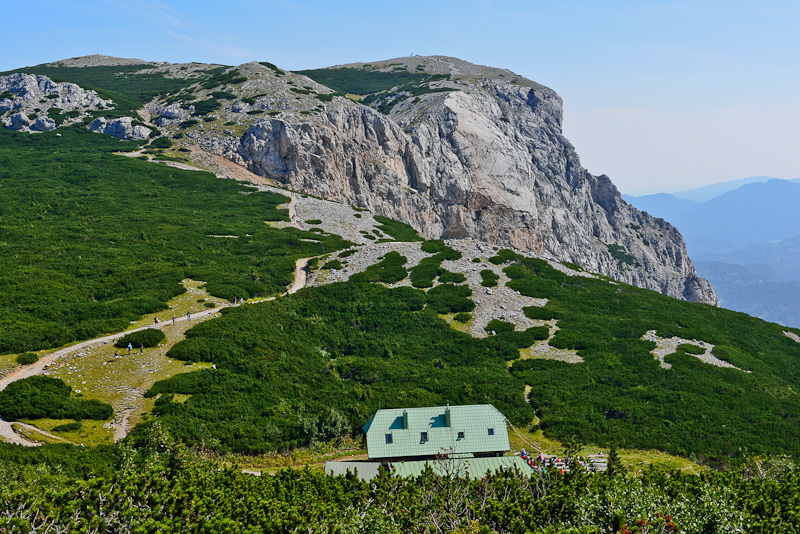
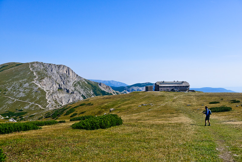
The Seehuette attracts many walkers.
Near the Preinerwand.
View back the Karl Ludwig house a bit afar already. To the right is Predigtstuhl.
The rescue hut, with Dreimarkstein to the right.
Karl Ludwig house and Heukuppe with the monument. Predigtstuhl to the right.
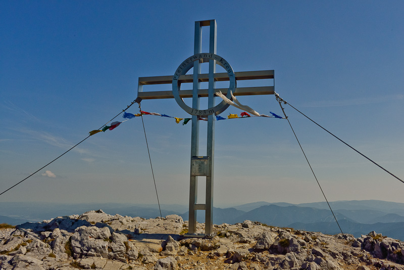
The summit cross of Preinerwand.
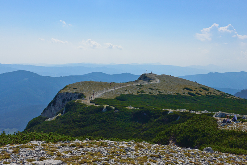
View from Preinerwand to Heukuppe.

Scheibwaldhöhe.
Once more the Preinerwand summit ...
... and the view down to the valley of Reichenau.
Preinerwand with a view to the Fischbach Alps.
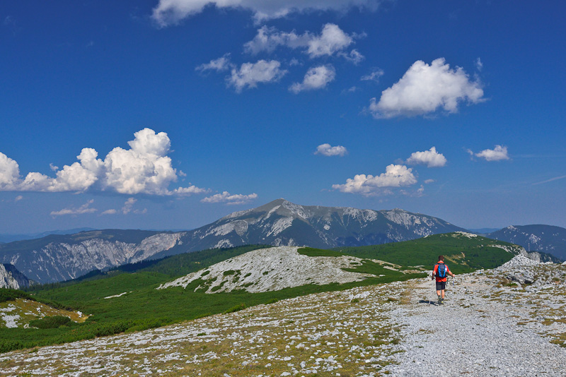
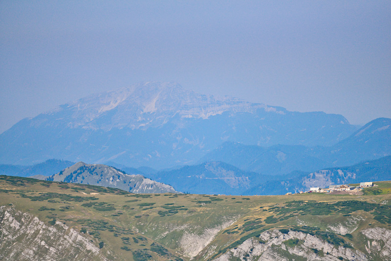
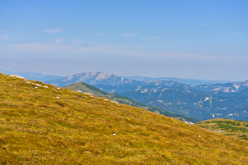
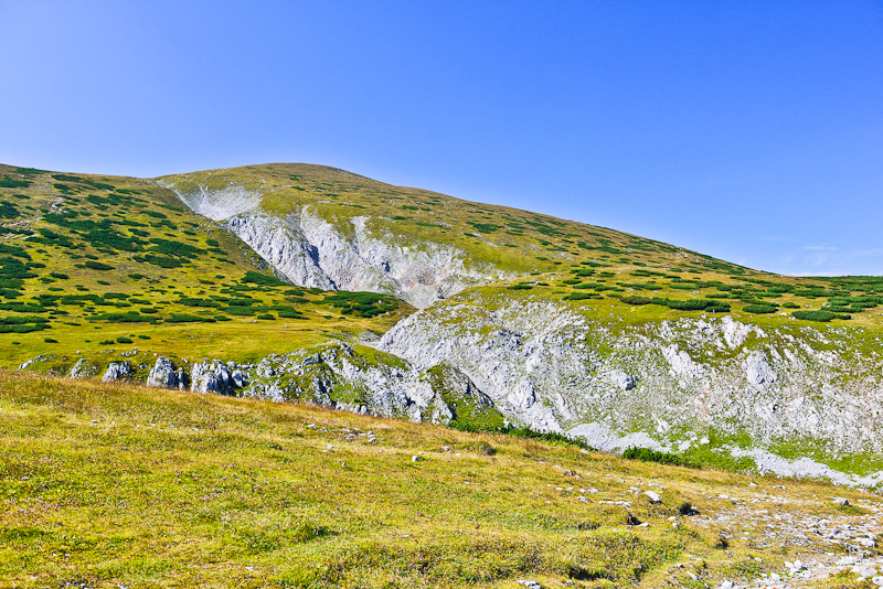
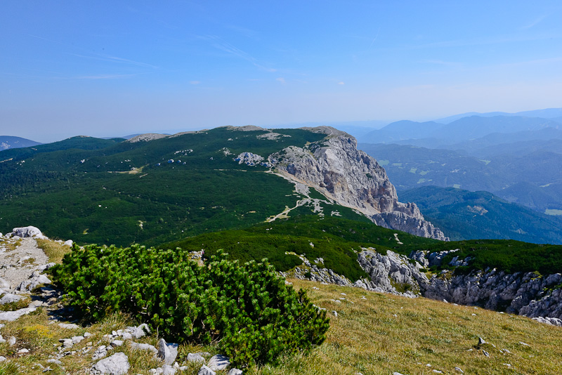
Schneeberg comes closer. The end of the Rax plateau is in sight.
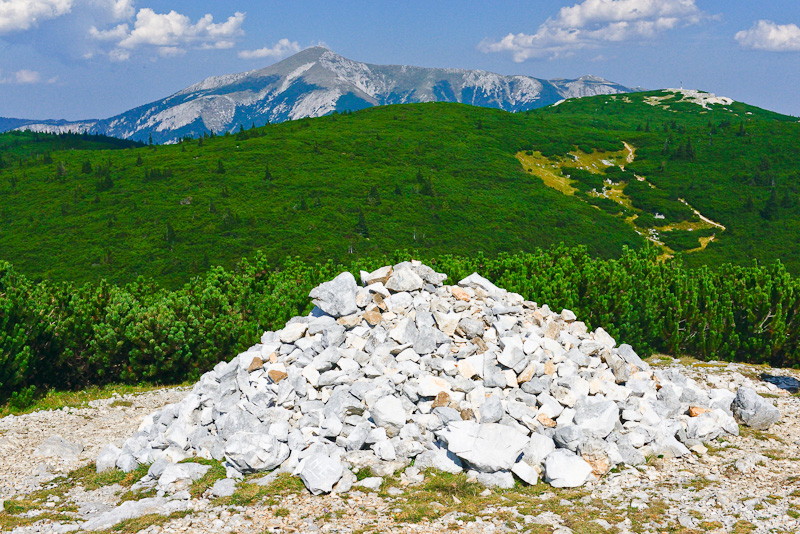
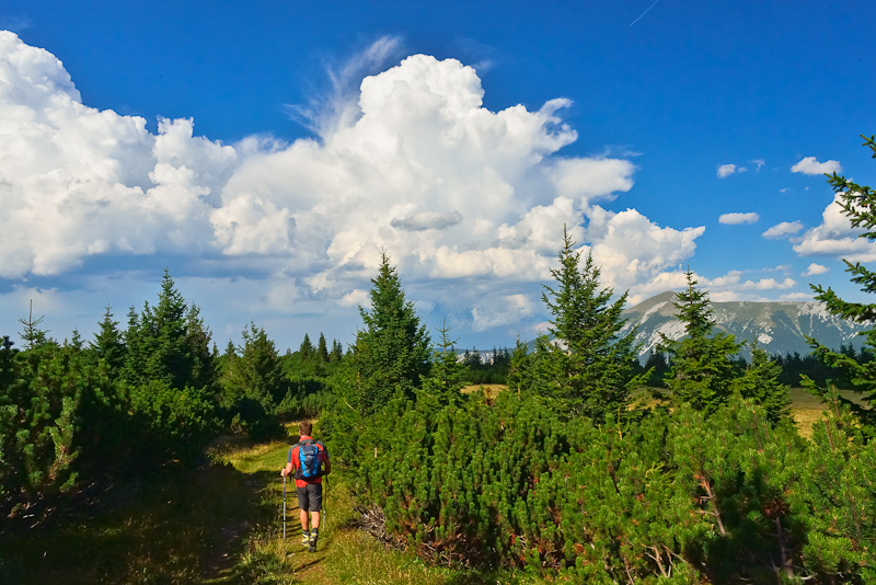
Large areas covered with Alpine dwarf Pines.
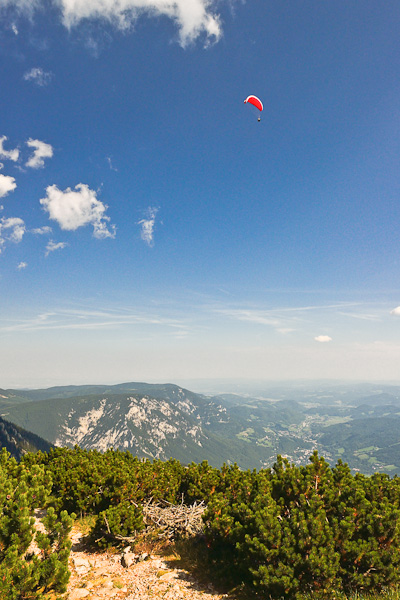
A para glider enjoys the updraft.
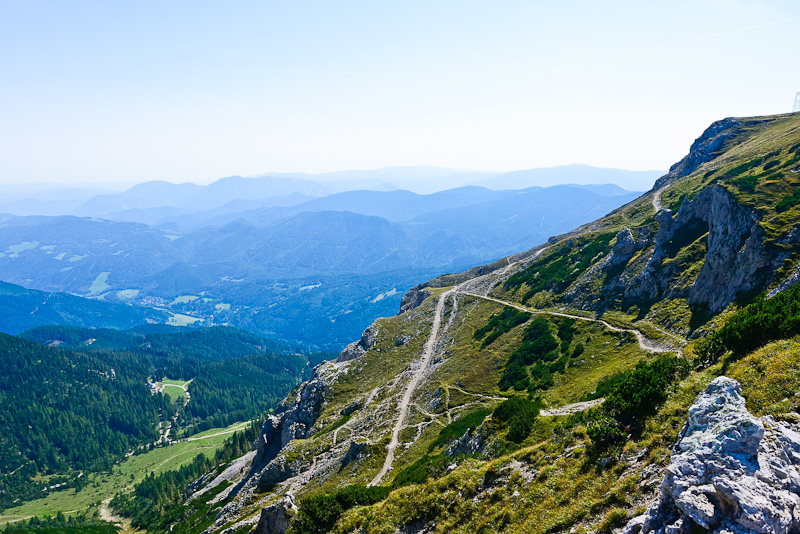
View down to the valley of Reichenau. The mountains to the left belong to the Gahns massive, on the horizon the Bucklige Welt.
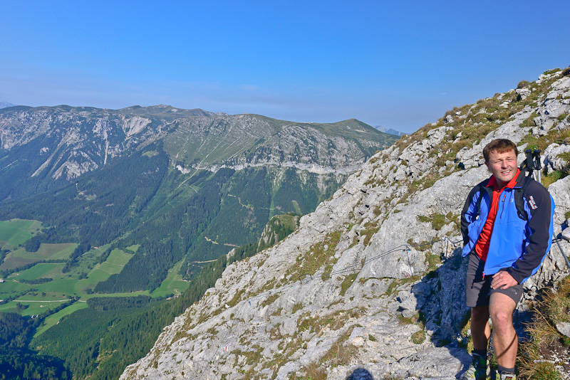
Still smiling Mario ...
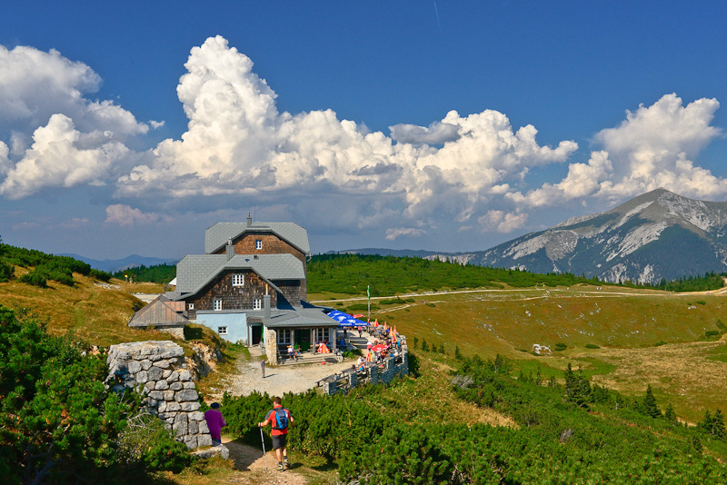
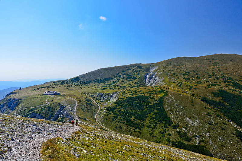
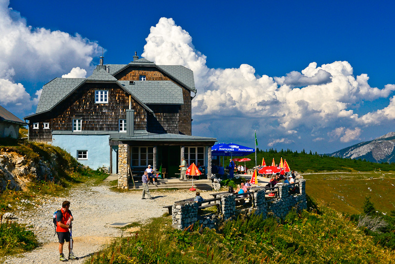
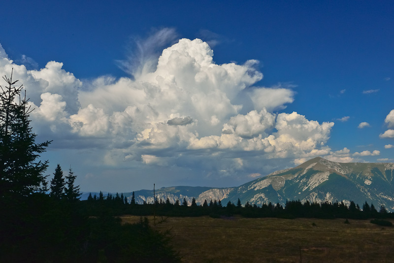
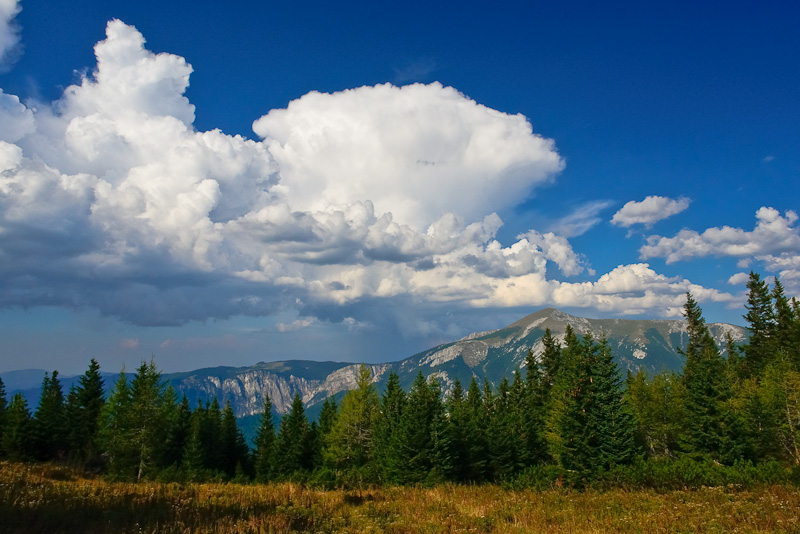
Otto house, our last lest. Now, thunderclouds begin to form over the Gutenstein Alps.
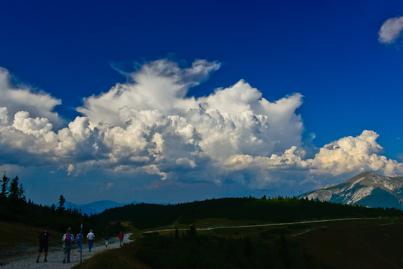
After the rest, we continue our walk: over the small hill and then a 1.200 m - descent down to the valley.
A last flat area of the plateau. Schneeberg is quite close now.
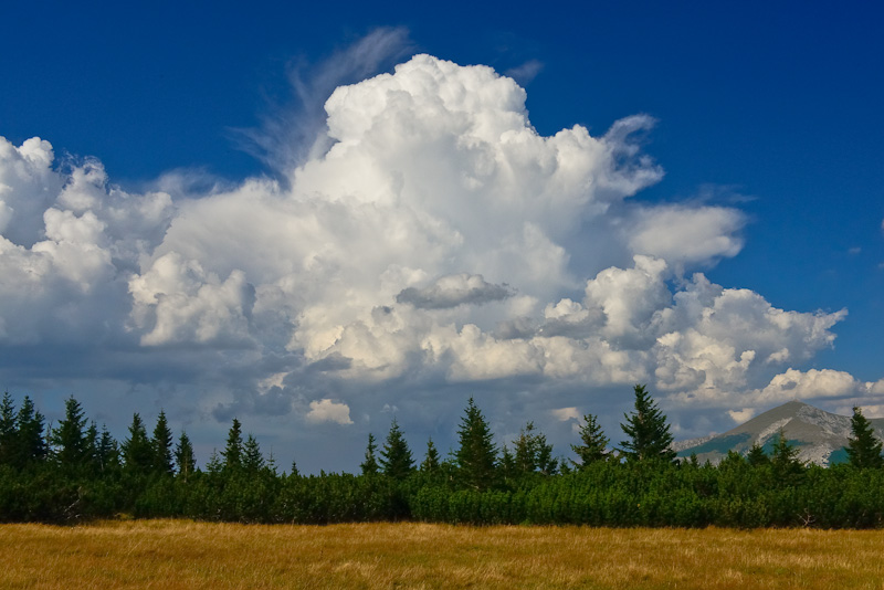
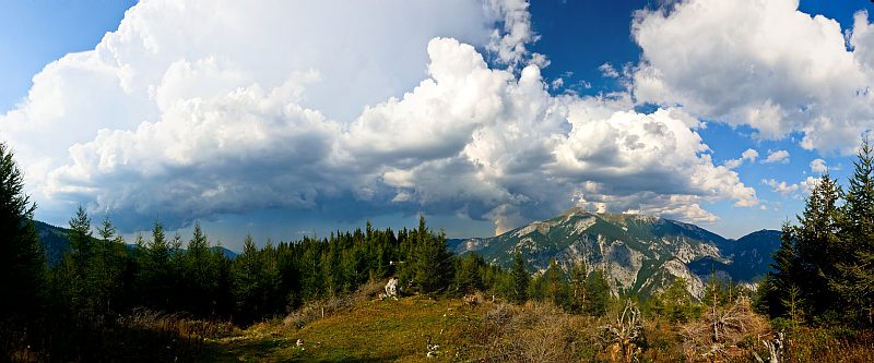
The thunderclouds continue towering.
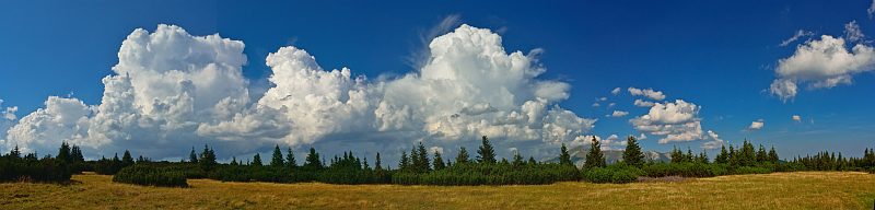
Panoramic picture of the thunderclouds, Schneeberg to the right. Click here or into the picture for a larger version.
Soon we shall start the descent ...
The descent has begun. The thunderclouds now look even more threatening. HClick here or into the picture for a larger version of this "high format" panorama made from 7 pictures.
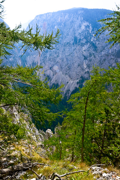
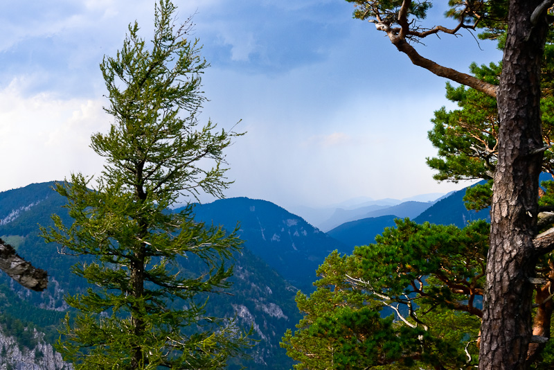
Thge Great Hell´s dale.
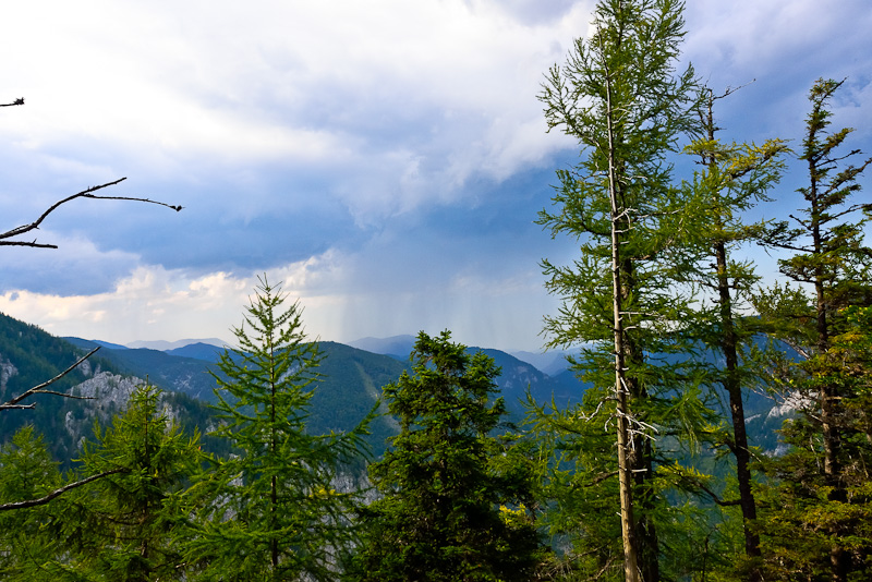
First showers in the distance ...
... and flashes and thunder.
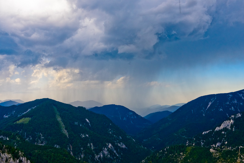
Heavy rain over there. We are lucky only the last 15 minutes we have slight rain. So we don´t get drenched.
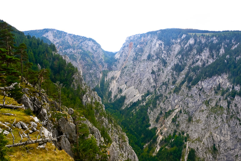
One more view of the Great Hell´s Dale (Großes Höllental).
On the way back with the car to Hinternasswald the heavens opened, and this accompanies us till Reichenau, where it is still dry.