Day 4: The Scafells, Lingmell, Wasdale and Kirk Fell
After a good long sleep, once more I started early at about 7 a.m., so I only met a few people on Scafell Pike. On way down to mickledore and especially on Scafell ascent via Foxes Tarn, I met not a soul. Then down Lord´s Rake and crossing over to Lingmell col and Lingmell. A long grassy descent to Wasdale was then followed by a good meal at the bar of the Wasdale Head Inn. After that, I took the steep direct ascent to Kirk Fell, where I pitched on the plateau near Kirk Fell Tarn, once more with a stunning View to Great Gable and the Scafells. I fell asleep with the sound of a very slight drizzle on my tent. 4 Wainwrights on that day.
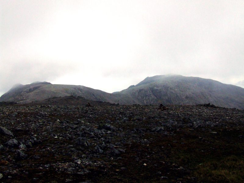
A grey morning on Great End, the very high summits are in clouds at times, like Scafell Pike summit in this moment.
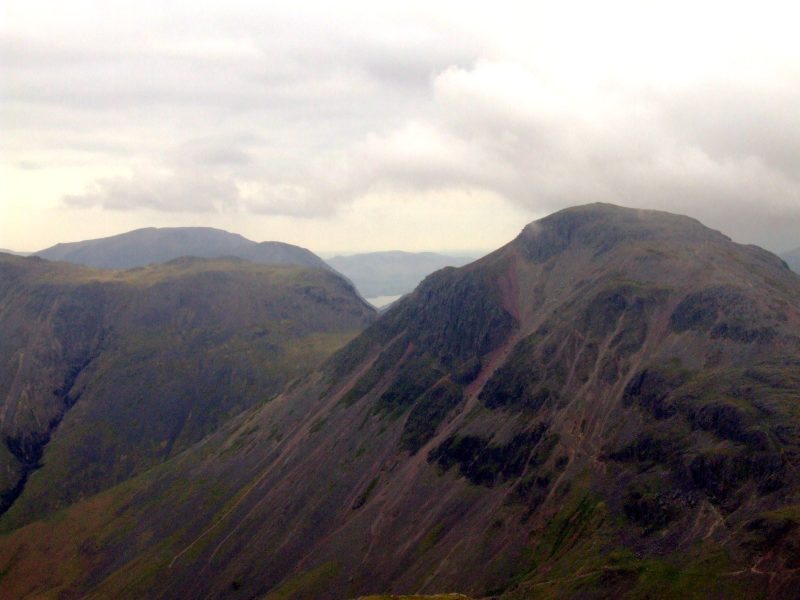
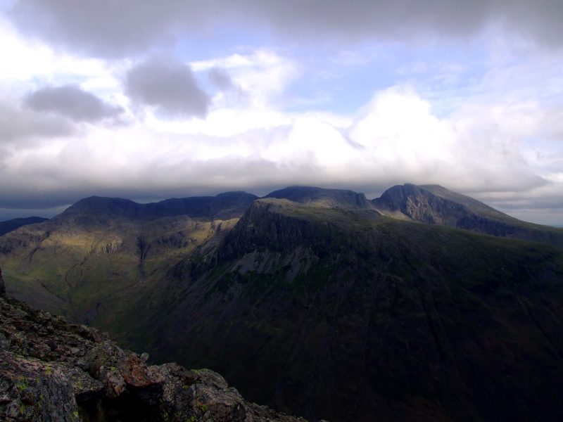
Great Gable with a glimpse to Buttermere at its left side - Beck Head and Scarth Gap are projecting exactly over one another, to the left is Kirk Fell and High Crag one behind the other.
Zooming in on Buttermere
The summit of Scafell Pike is approaching.
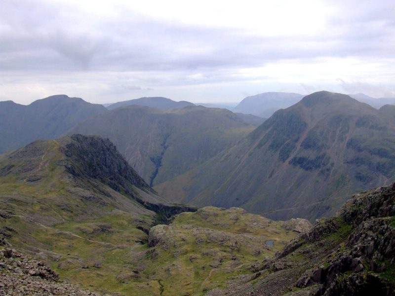
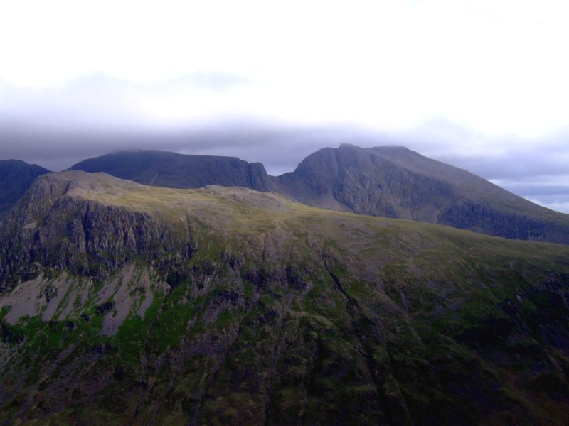
Lingmell, Kirk Fell and Great Gable, Pillar behind to the left, Grasmoor behind Great Gable. Behind Kirk Fell is High Crag/High Stile.
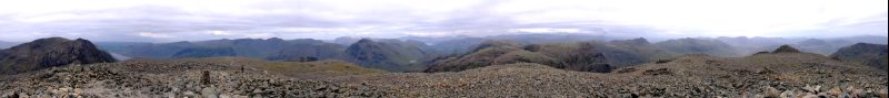
Panoramic View from England´s highest mountain, Scafell Pike - click here or into the picture for a larger version.
e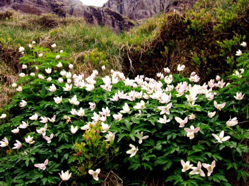
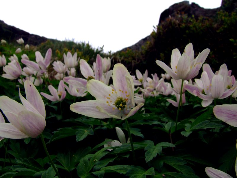
Now walking down to Mickledore and turning to the left - the Eskdale side for a short descent. Up the steep gully afterwards to Foxes Tarn. This region is so steep in parts, that even the sheep did not reach it - some wood anemones have persisted there.
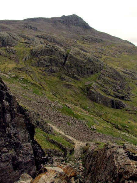
View down the steep gully and to Scafell Pike
Foxes Tarn, more like a puddle than a tarn.
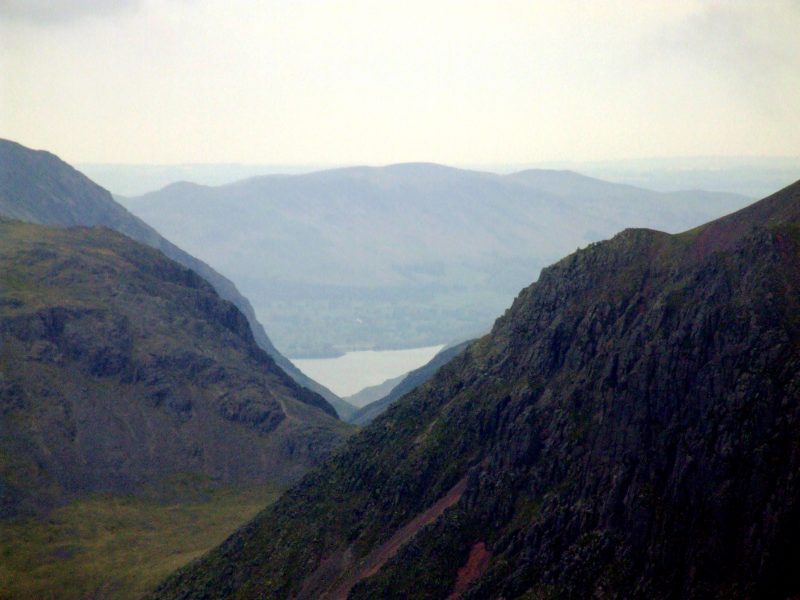
View from Scafell down to Burnmoor Tarn, Illgill Head and Wastwater
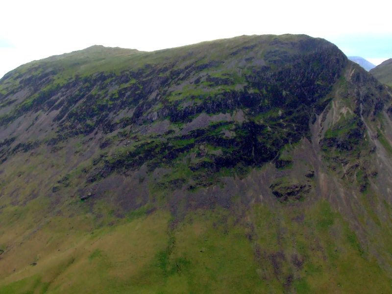
Scafell Pike from Scafell
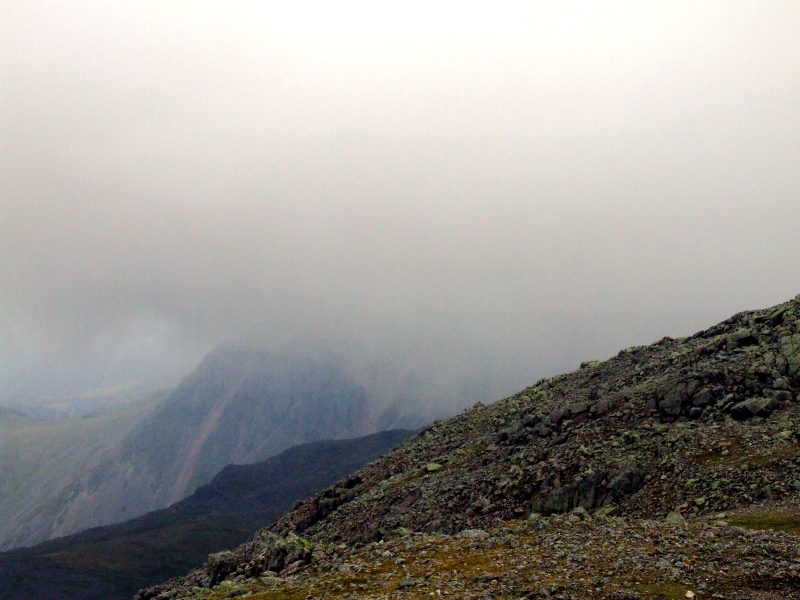
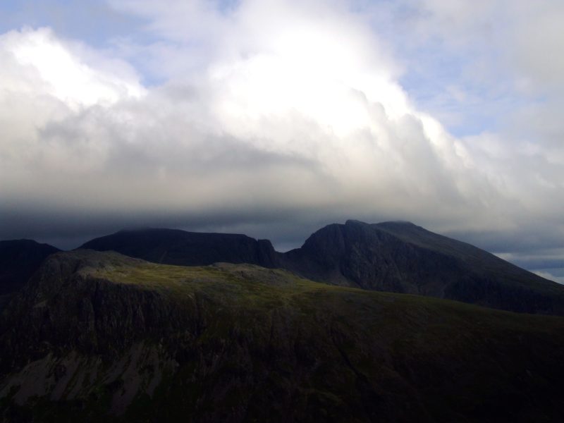
Great Gable in clouds now, looks like a shower. This, however, did not approach, so I stayed dry all day.
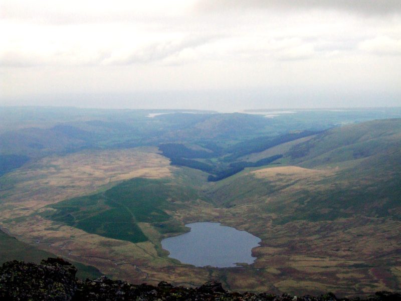
Burnmoor Tarn and the sea.
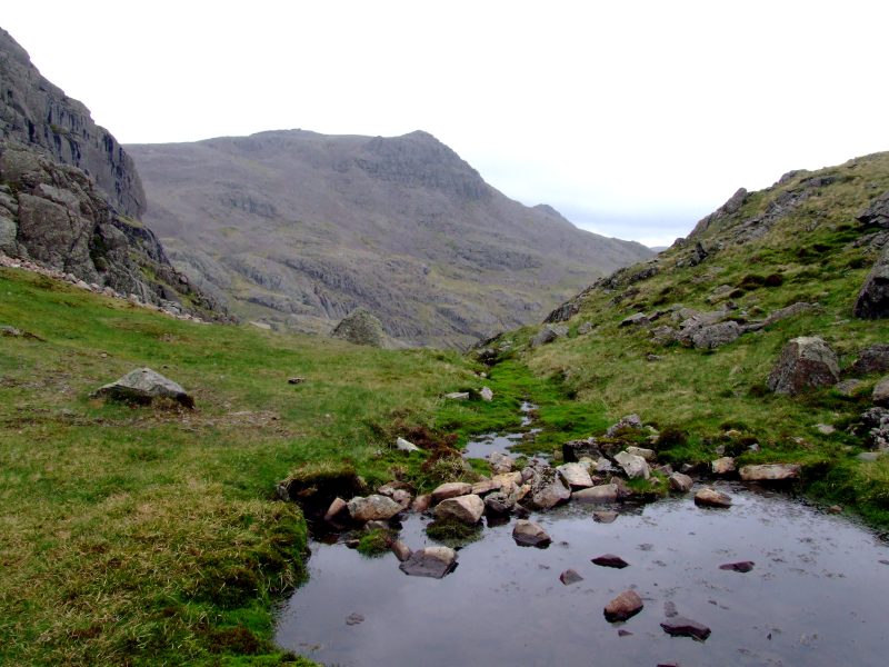
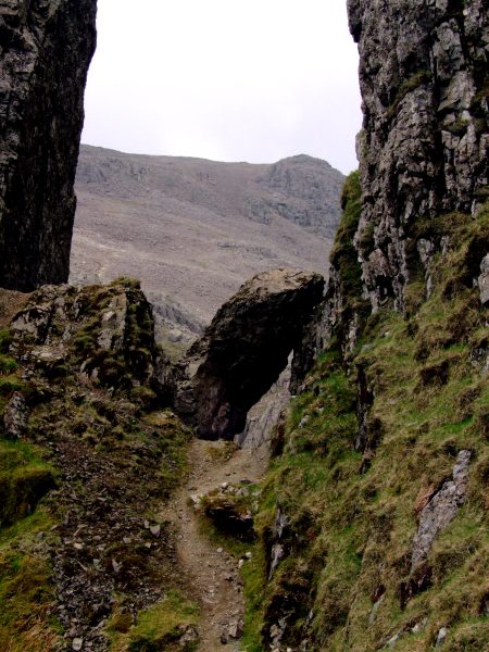
My GPS guided me safely to the beginning of Lord´s Rake.
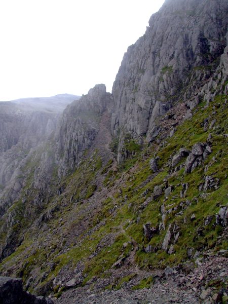
The big bolder above the second section of Lord´s Rake.
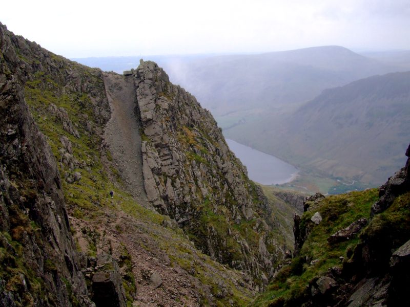
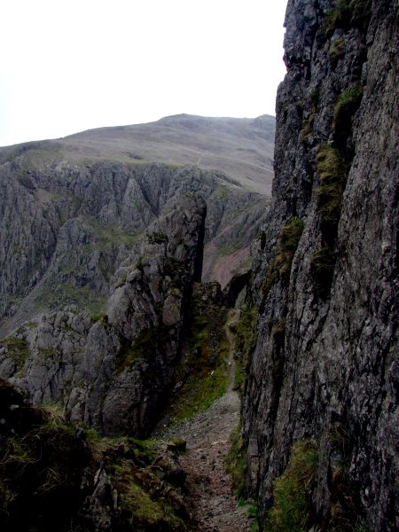
View back to the first section, with a glimpse on Wastwater
The boulder stone
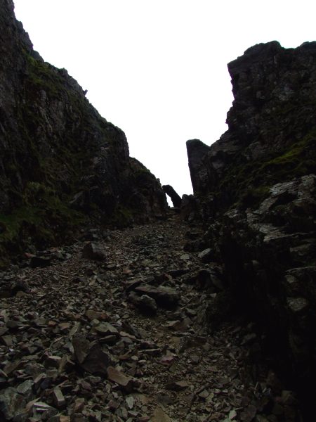
Looking back up the steep scree with the boulder
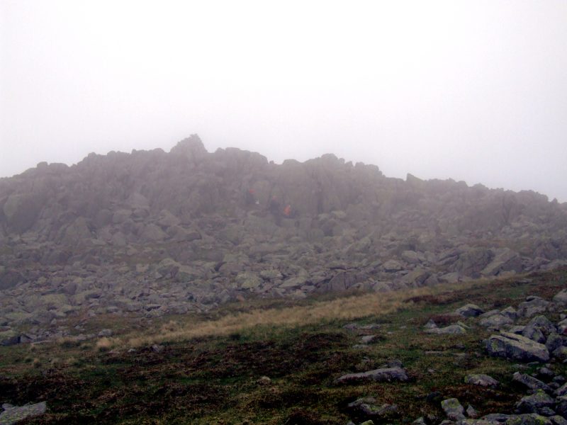
Scafell Pike and those many people climbing up to Mickledore.
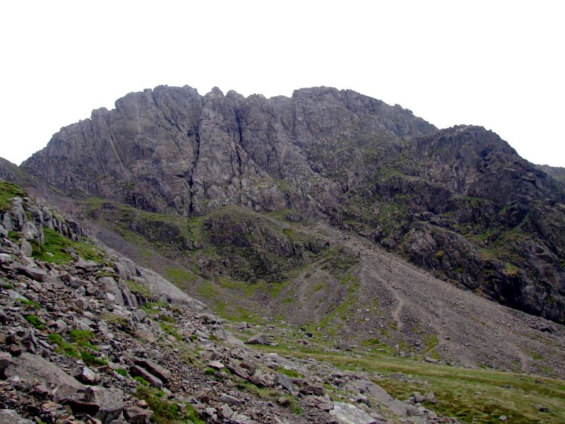
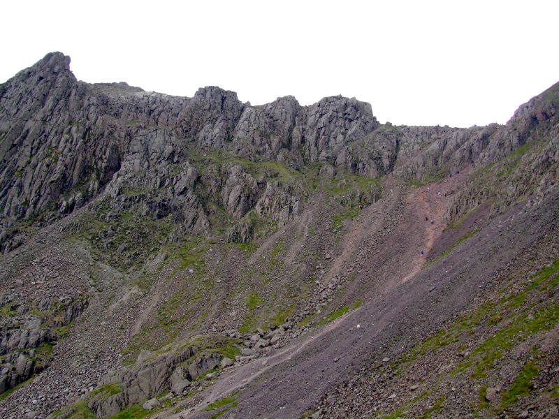
Scafell West Wall - a paradise for rock climbers.
View down to Wastwater from the traverse to Lingmell Col under Pulpit Rock (Scafell Pike). Middle Fell on the opposite side of the lake.
Heading for Lingmell, which is in clouds now.
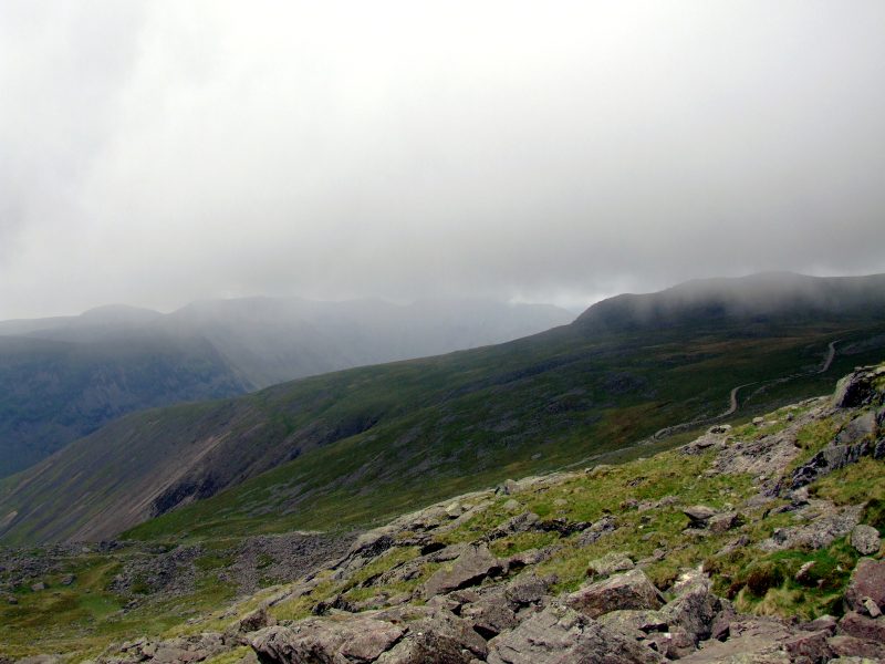
Clouds are drawing fast and changing permanently.
Lingmell summit - in clouds.
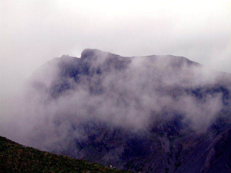
Changing clouds on Scafell
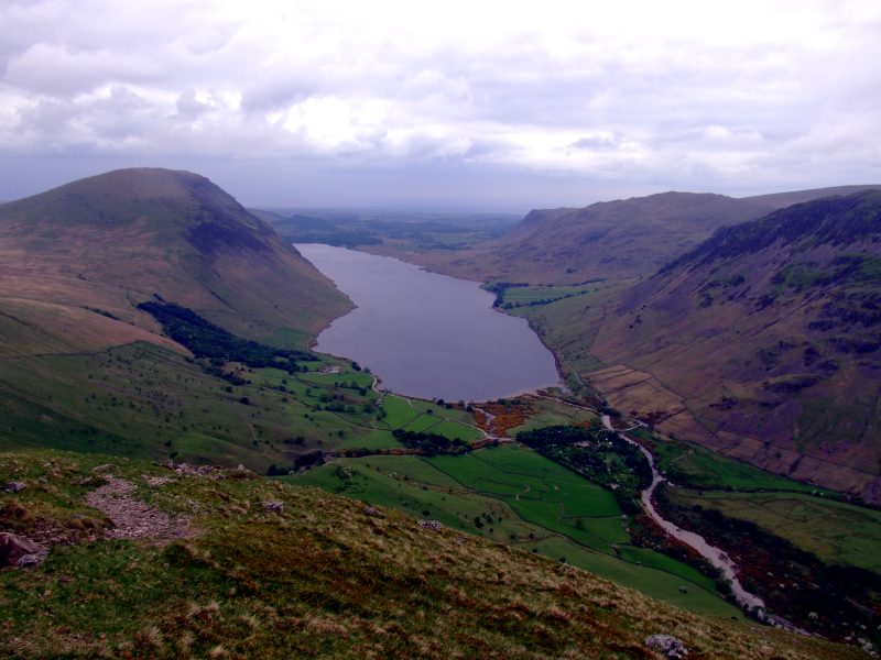
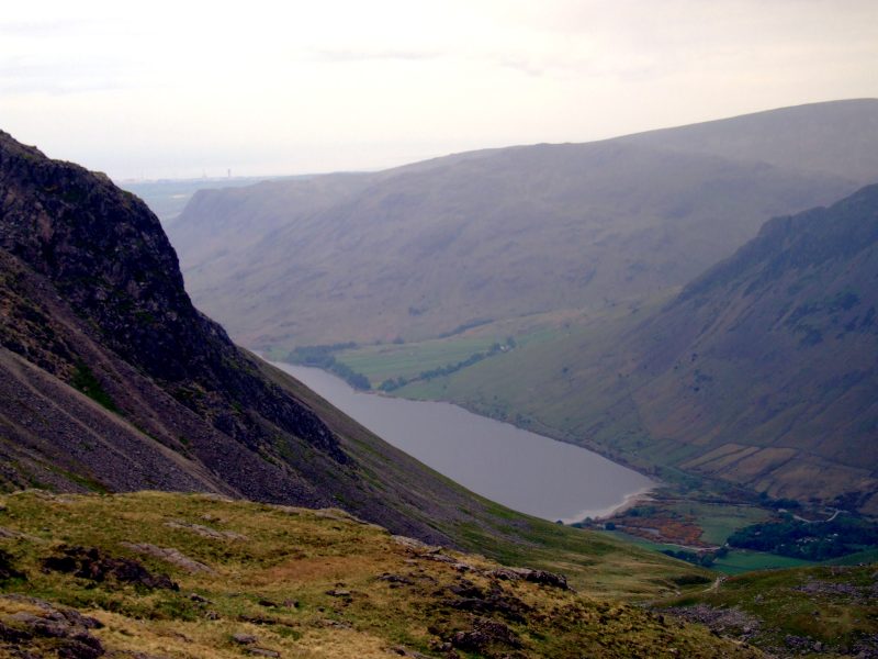
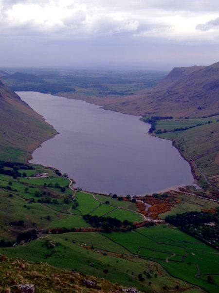
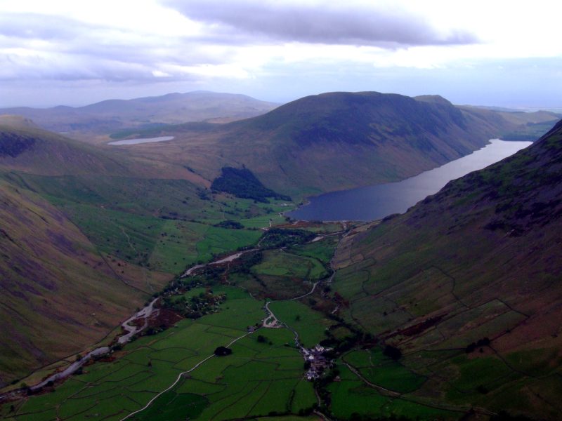
Down a bit now, the view is clear to see whole of Wastwater, with The Screes and Illgill head to the left and Middle Fell and the slopes of Yewbarrow to the right.
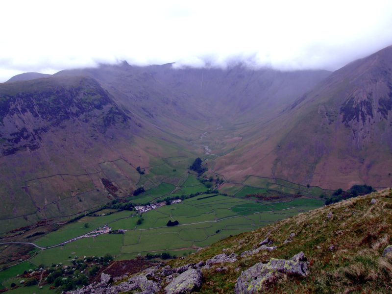
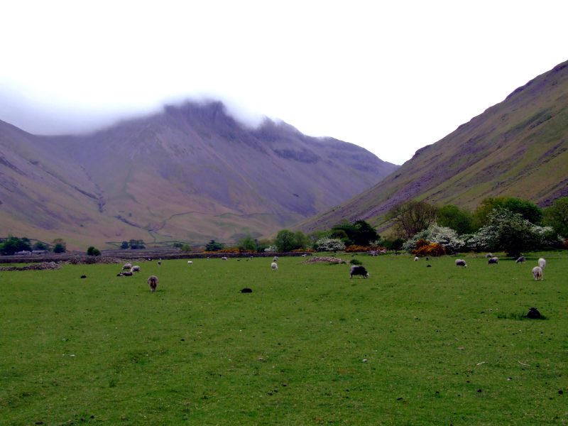
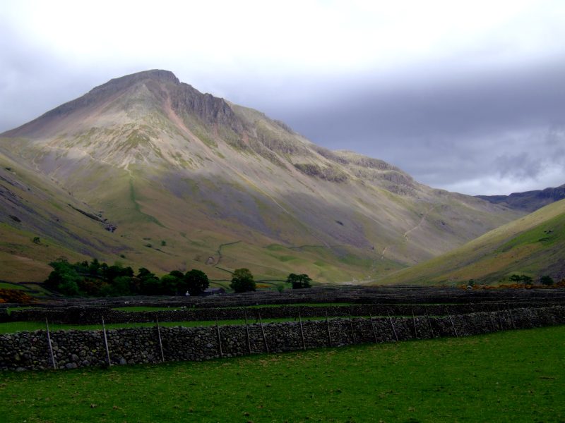
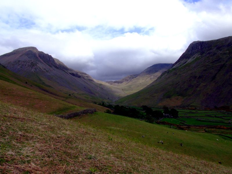
Wasdale Head and Mosedale, Pillar in clouds.
Wastwater from half way down ...
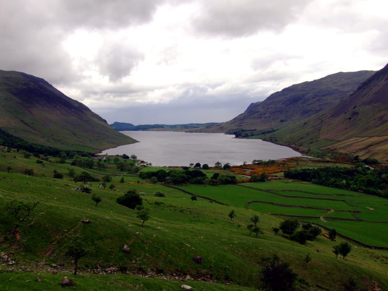
... and from near valley level.
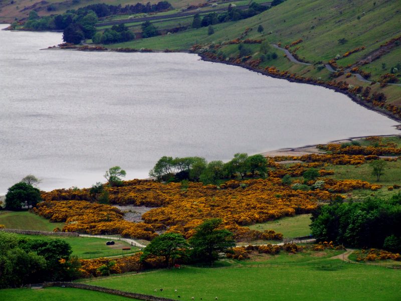
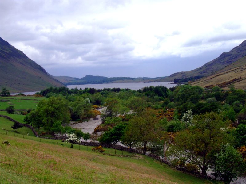
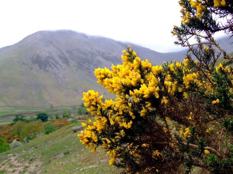
Zooming in on the gorse at the head of the lake.
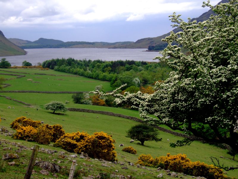
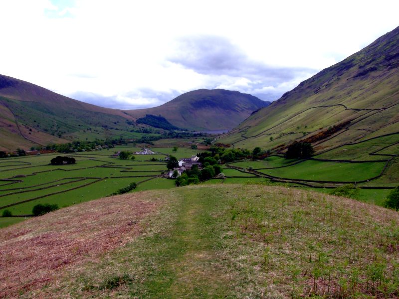
Now entering the pastures of the dale.
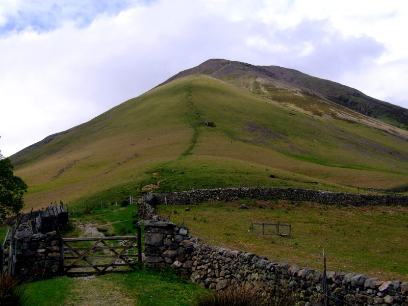
Kirk Fell, my last objective of the day.
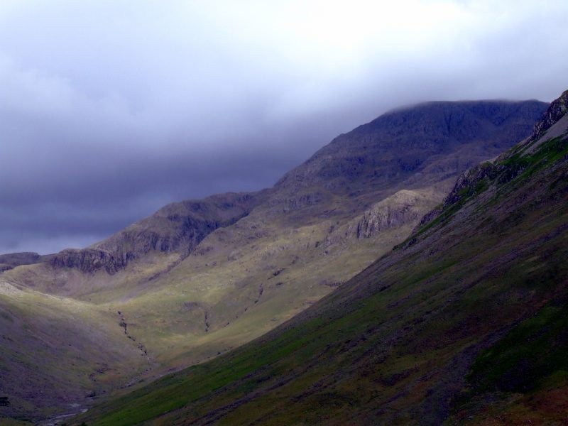
Great Gable in clouds.
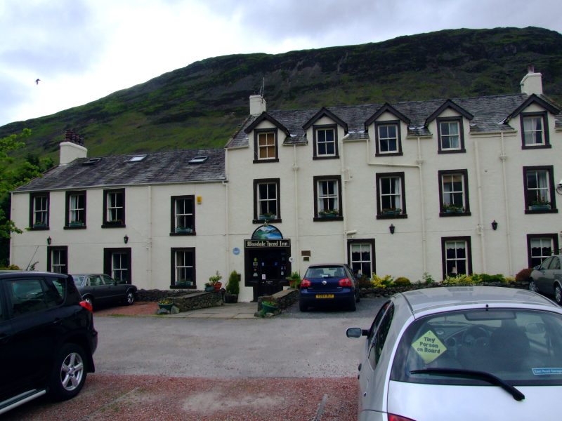
The Wasdale Head Inn ...
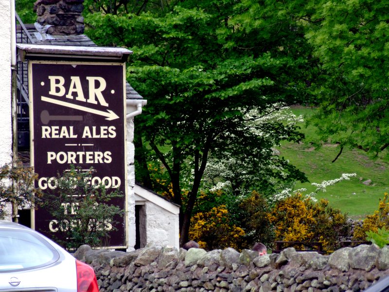
... with its bar which serves good food all day. A most welcome rest for 1 1/2 hours ...
... because I am awaiting this: the direct ascent on Kirkfell.
After my delicous meal, the clouds began to lift up, and gradually, the summits got free.
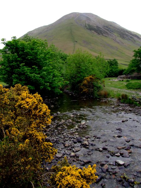
An old bridge behind the Wasdale Head Inn. However, to climb Kirk Fell, I had to stay on the same side of the beck.
The ascent is steep, which would not be so bad, but as can be seen, the uppermost part of the steep section is loose scree - two steps up, 1 1/2 down ...
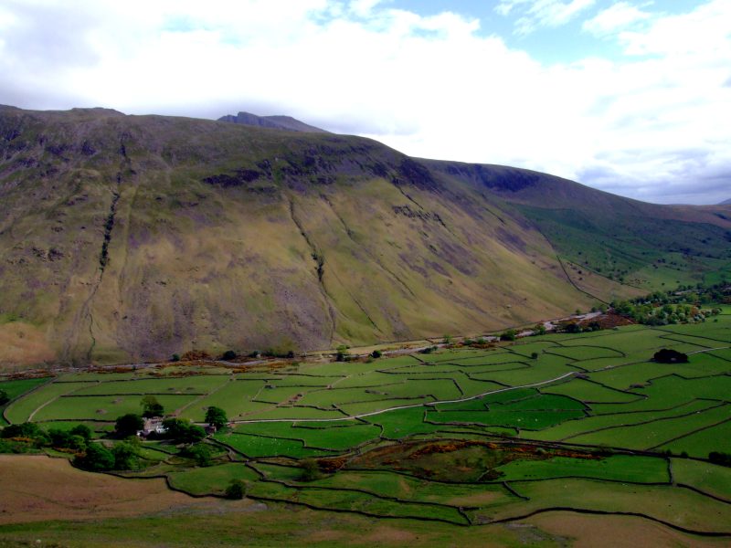
The end of Wasdale in a bit of sun now.
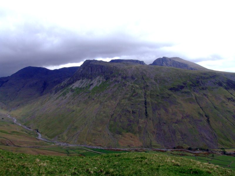
Great End in sun, behind Lingmell.
Now pictures are changing with increasing height, like the climb flight of an aeroplane.
If my suspicions are right, that this little bump on the otherwise steep ascent in fact is the remains of a middle moraine between two ice age - glaciers from Mosedale and Wasdale joining here, and my altimeter is right, then the ice of those two glacier tongues must have been about 60 m thick.
Lingmell, and a first glimpse of Scafell behind.
Once more Lingmell and the Scafells, Great End to the left.
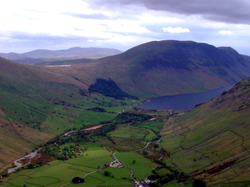
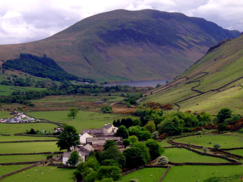
Wasdale Head and Wastwater, Illgill head and a first glimpse of Burnmoor Tarn
Yewbarrow´s steep escarpments.
Evening sunlight on Lingmell ...
... and the Scafells.
and again.
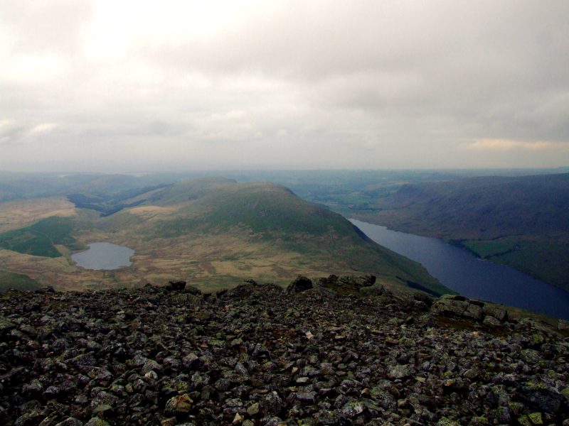
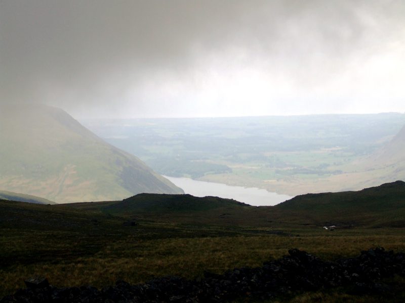
Much higher now, Wastwater can be seen in full length.
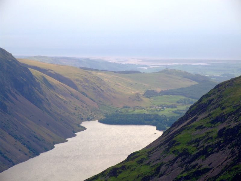
The foot of Wastwater, the Screes to the left and a view to the Irish Sea.
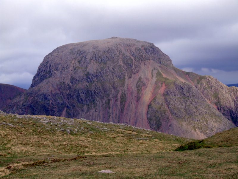
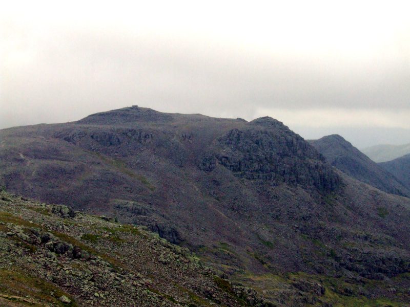
Arrived on Kirk Fell summit, and the new dominating view is Great Gable.
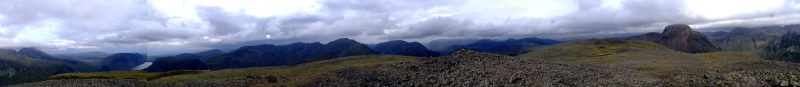
Panoramic view from Kirk Fell summit - click here or into the picture for a larger version.
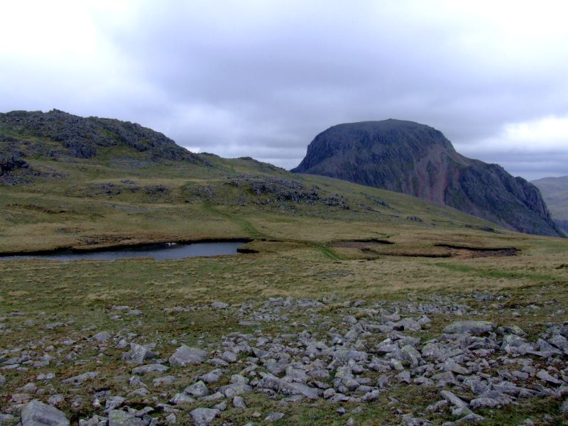
Kirk Fell summit tarn and Great Gable. I pitched on a flat, grassy place just at the right end of the tarn, behind some of the rocks (in front of the red screes of Great Gable) - the places near the tarn were a bit too wet.