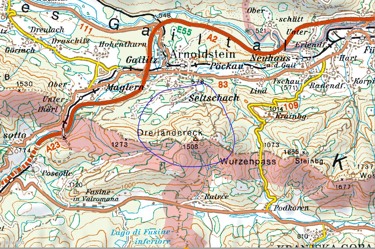
8.2.2013: On the ski piste at the Three Nations corner
The last day of our holiday, I drive to the ski centre of the Dreiländereck ("Three Nations corner").
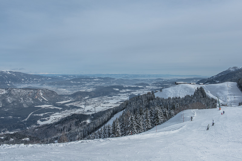
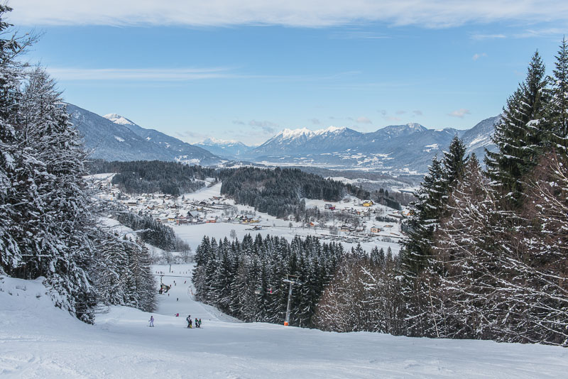
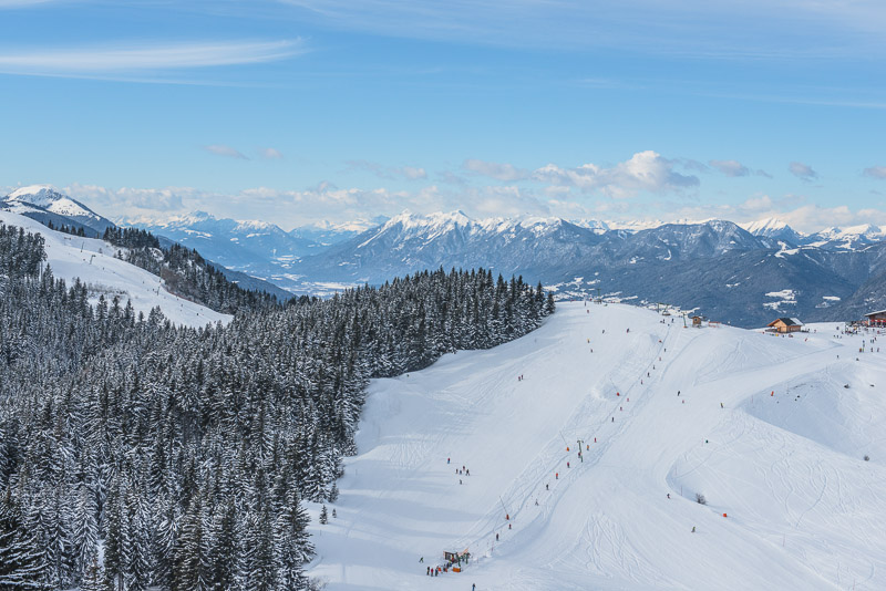
The lower part of the Gail valley and Villach behind the foothills of the Dobratsch, to the right is the summit station of the chairlift. Here, there remains a thin layer of high clouds, making the sunlight a bit hazy, ...
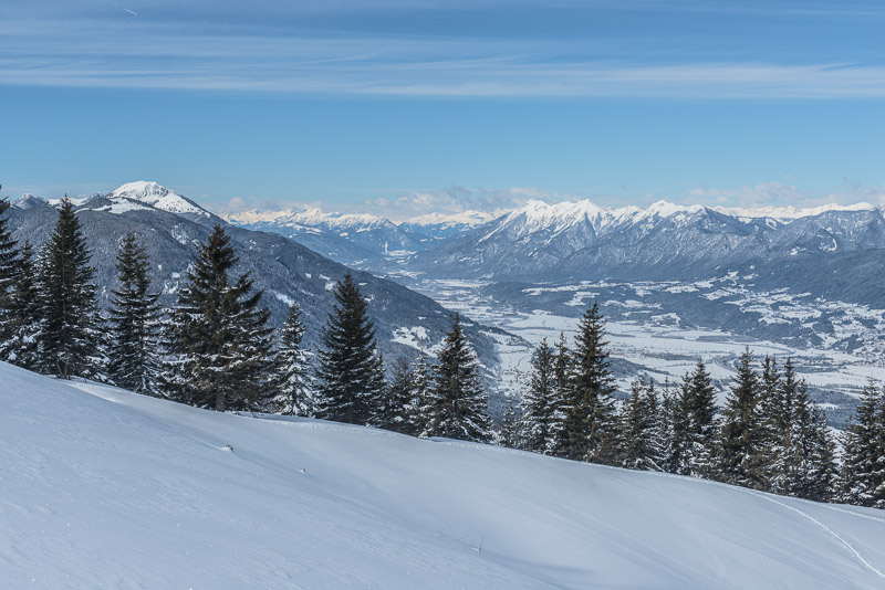
... but blue sky to the west, with the view into the upper Gail valley.
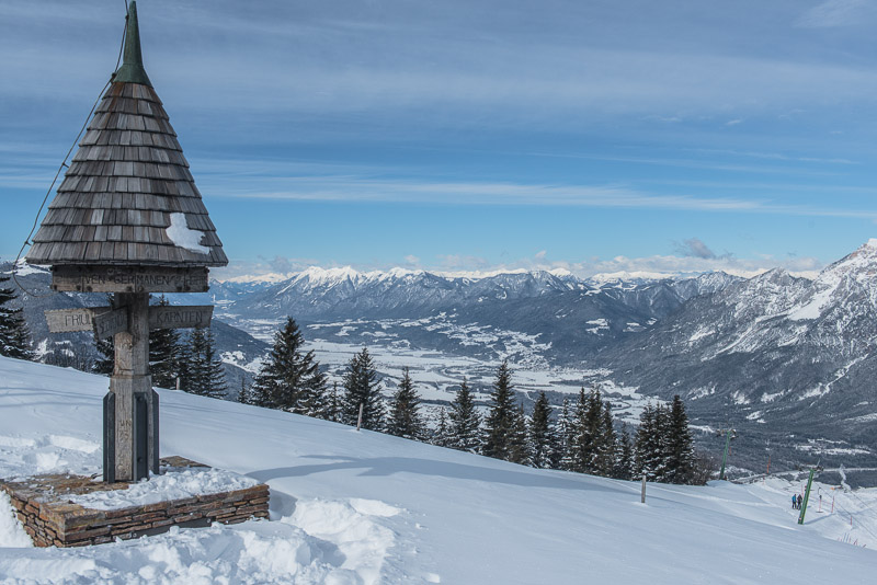
At this exact point, three nations merge:

Slowenia to the Southeast, Italy with the Province of Friaul (Friuli) to the Southwest, and Austria with its federal state of Carinthia (Kärnten) to the North.
Dobratsch
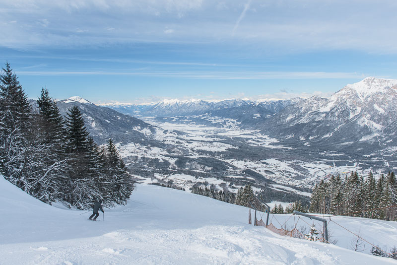
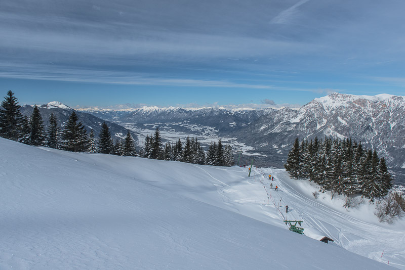
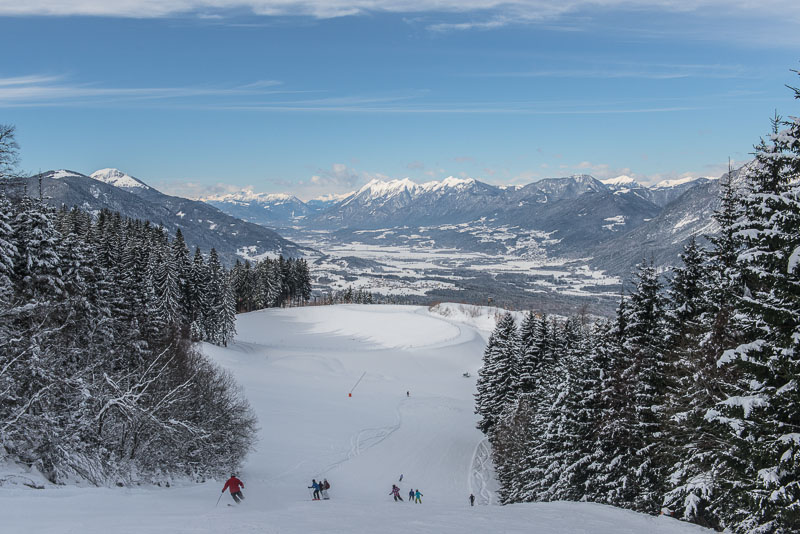
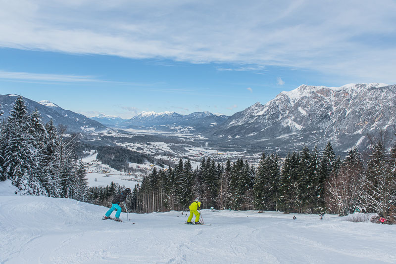
Pictures taken during a downhill ...
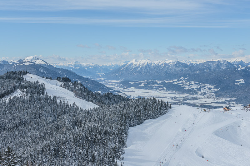
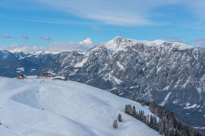
... and up again, this time with a steep cable lift to the highest point of the area called Hahnenwipfel (1.552 m), where you get the best view of all around, here with the Seltschacher Alm.
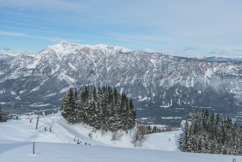
The summit station of the chair lift and Dobratsch. Looking carefully, you can spot the little house on the second summit to the right of the main summit (that one with the transponder): our goal at our Snow shoe walk 2012.
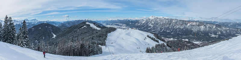
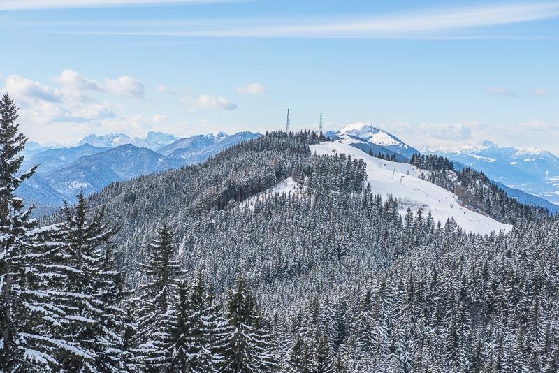
Panoramic view from the Hahnenwipfel over the skiing area of the Three Nations´ Corner. In the background the Julian Alps, then Karnian Alps with Oisternig, then Lienz Dolomites, Jauken and Dobratsch, far right at the horzon the Nock mountains with the Gerlitzen. Click here or into the picture for a larger version
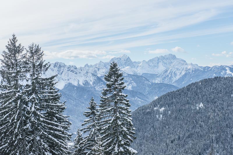
Julian Alps (Slowenia) with Mangart ...
... and Skrlatica/Triglav.
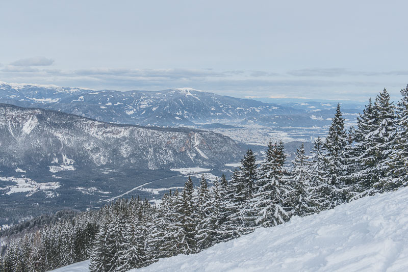
Villach and Gerlitzen.
The small rope tow, where Klara is practising Snowboard.
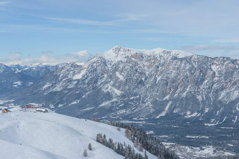
The lift station and Dobratsch.
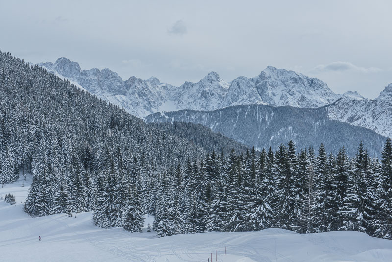
Zooming on to the Three Nations Corner with Oisternig in behind.
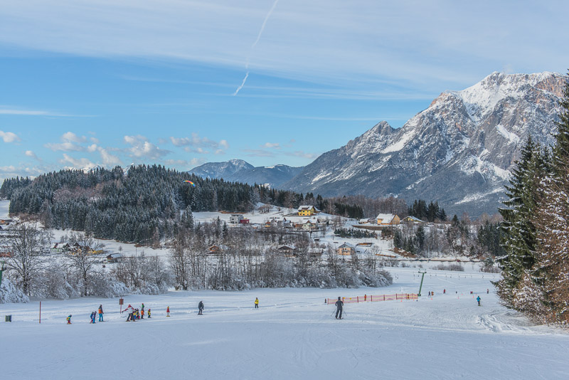
Back to the valley. Spot the paraglider, shortly before landing.