23.5.2016: (Mehamn - Kjøllefjord - Honningsvag - Havøysund) - Hammerfest - Øksfjord - Skjervøy - (Tromsø)
You won´t believe it, but after yesterday´s rain the sun is shining - better than before.
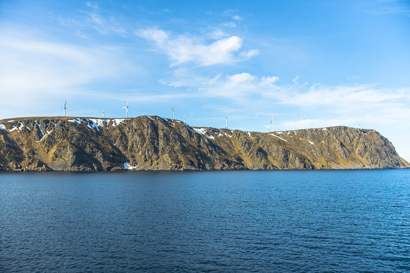
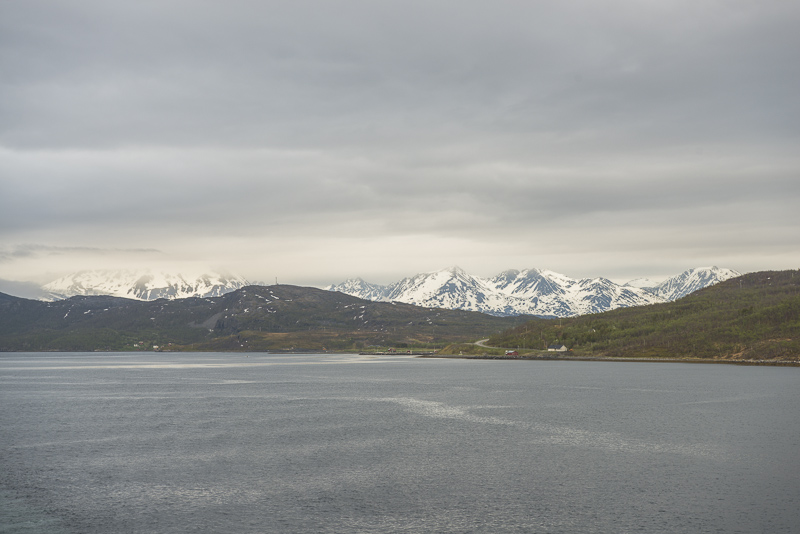
We have left Havøysund at 8:00 a.m. and are heading for Hammerfest. Still low rocks and wind turbines.I wonder why there are not so much more wind turbines in this widely unsettled land.
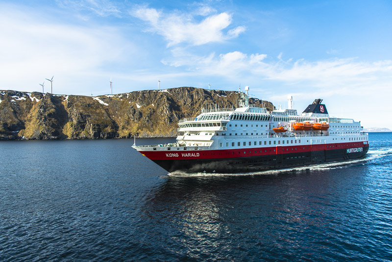
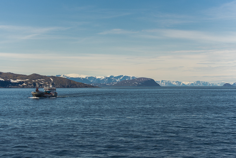
A second time we meet the ship "Kong Harald".
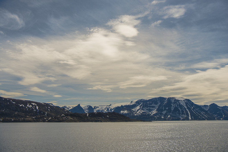
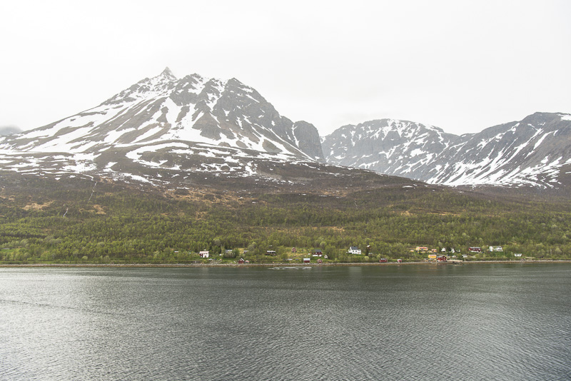
Gradually, the mountains get higher - like here on the Porsanger peninsula in the south.
Back on deck from breakfast at 9:45.
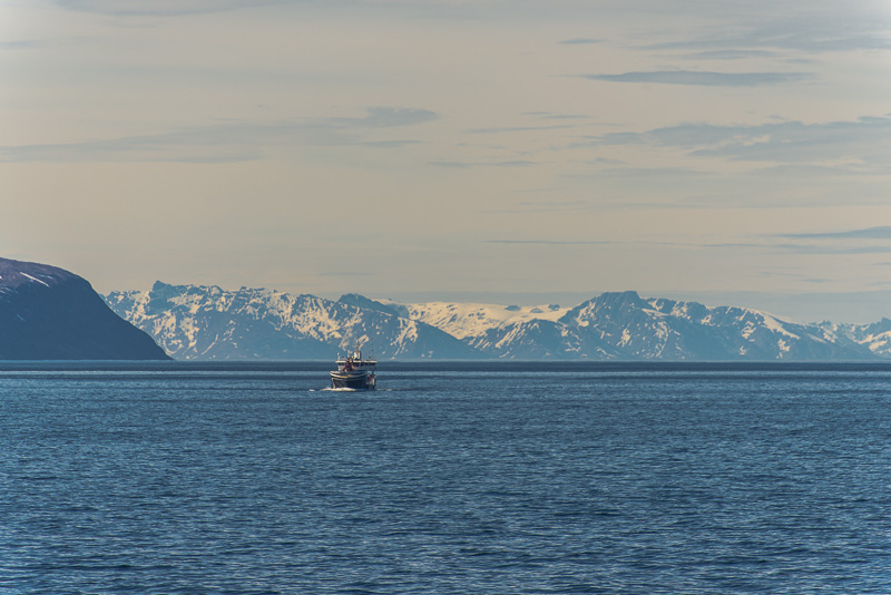
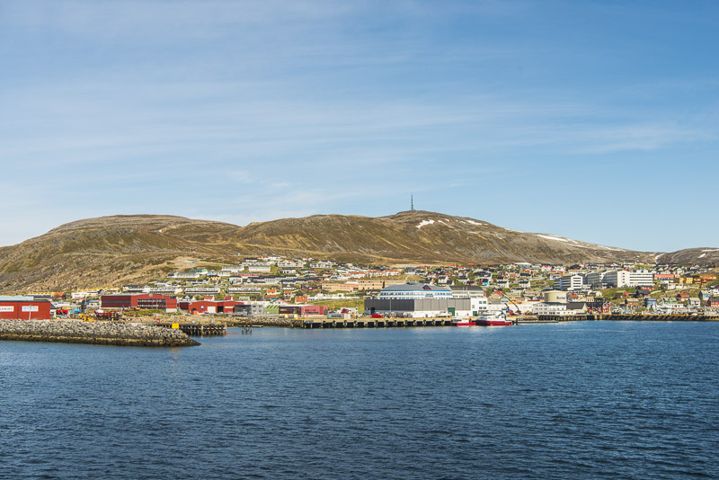
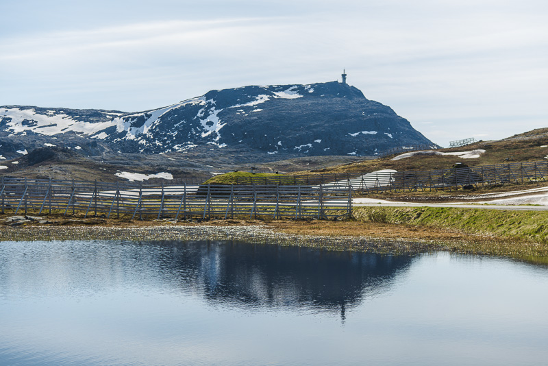
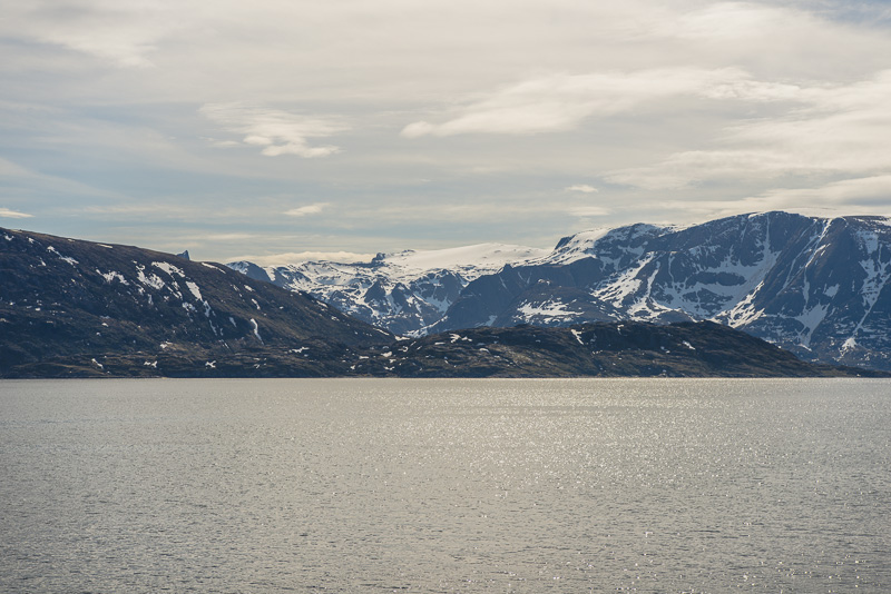
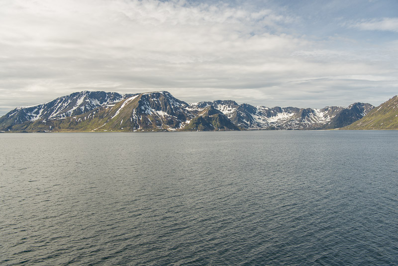
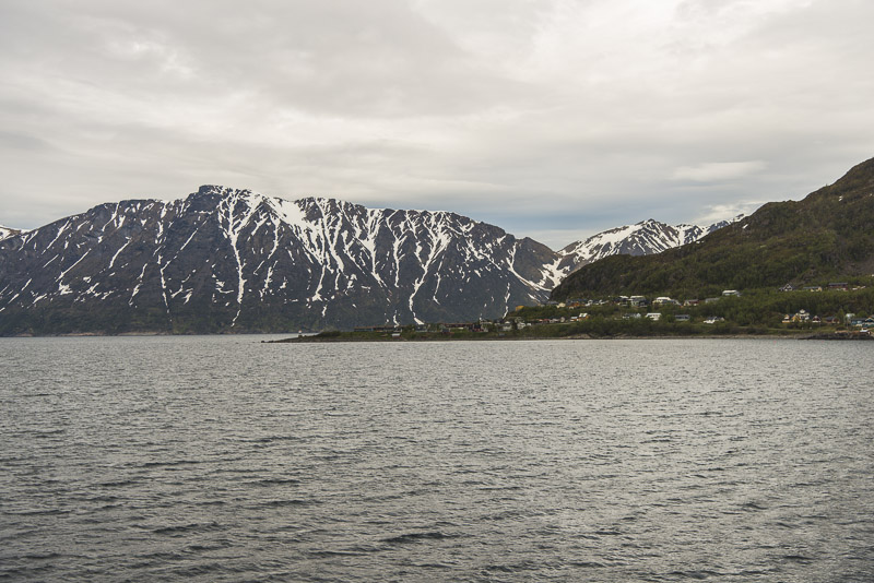
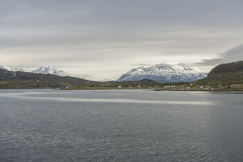
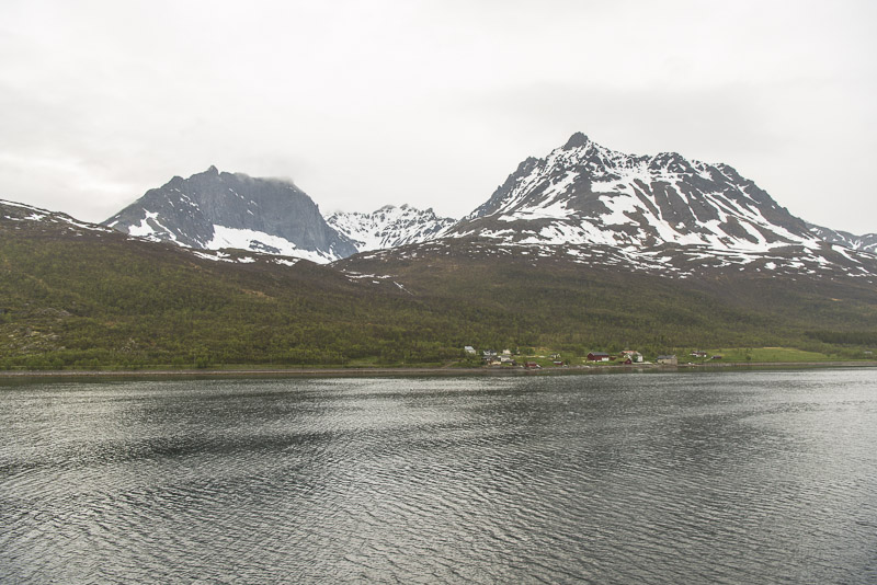
Only less than an hout to Hammerfest. Mountains more than 600 m height, still snow covered in May in this Northern area.
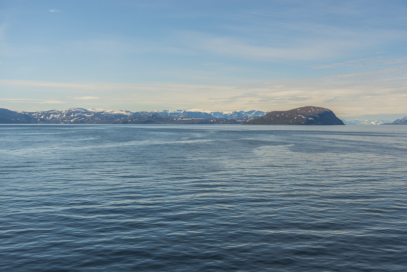
To the right in front the mountains of the island of Sørøya, up to more than 600 m high.
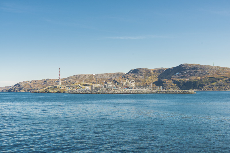
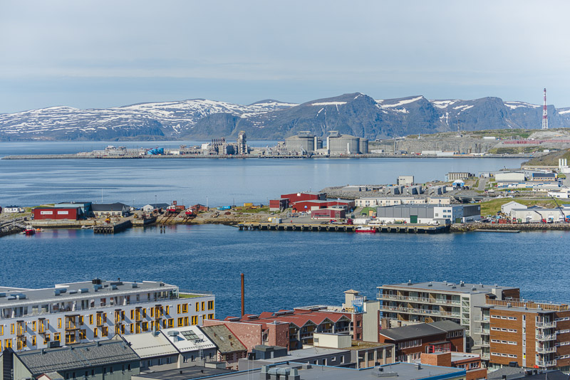
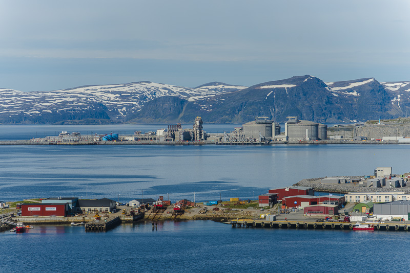
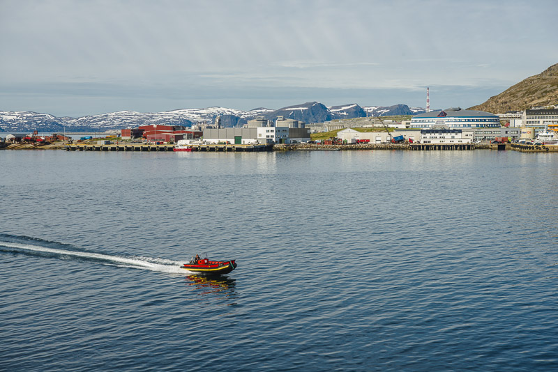
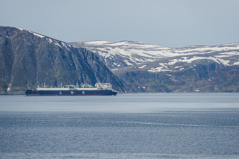
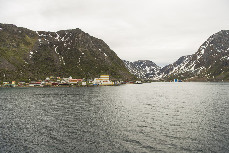
Round the corner, in southern direction now, and we are approaching Hammerfest. On this small island, Melkøya, a huge gas refinery was built to fluidify natural gas from the natural gas field Snøhvit - ("Snow White") in the Barent sea some 140 km North from here on the continental shelf of the Northern Atlantics. The fluidified gas is then further transported from here by tankships.
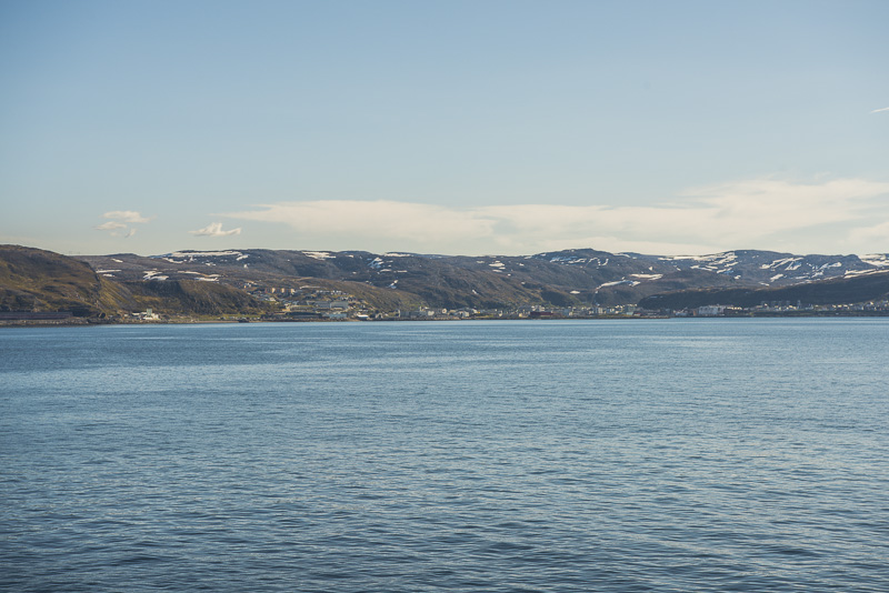
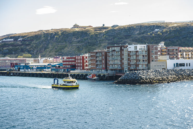
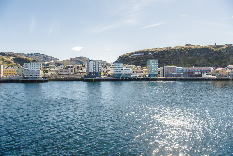
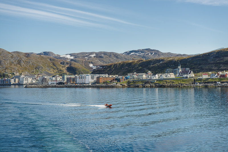
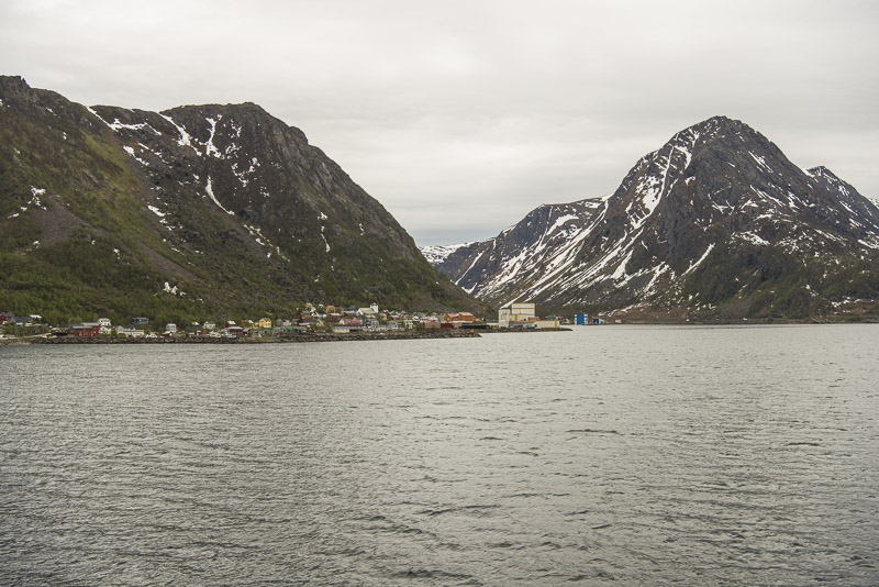
First glimpse of Hammerfest, which for many years was the northernmost town of the world. In the meantime, Honningsvåg, which is much more Northern, received its town charter, and Longyearbyen on Spitzbergen also has 2.000 inhabitants.
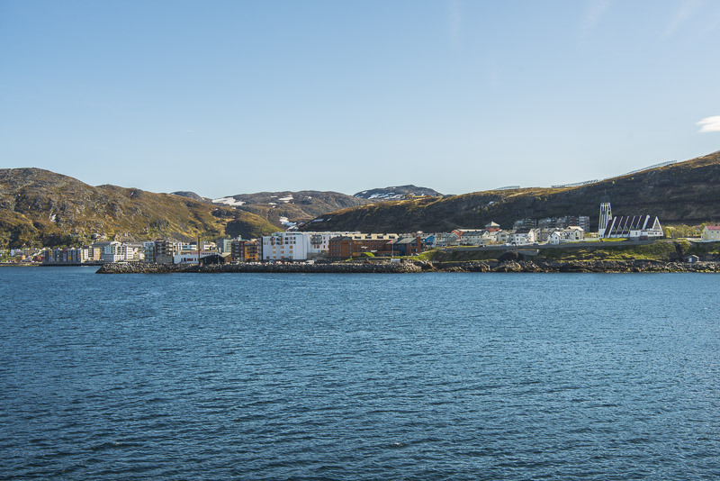
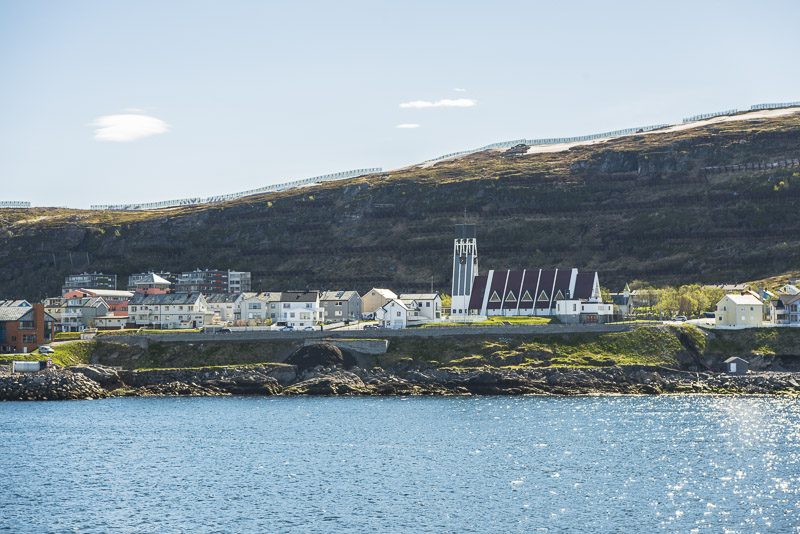
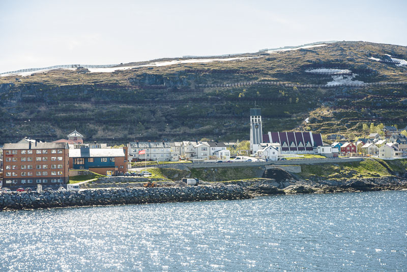
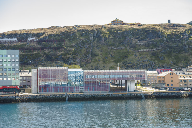
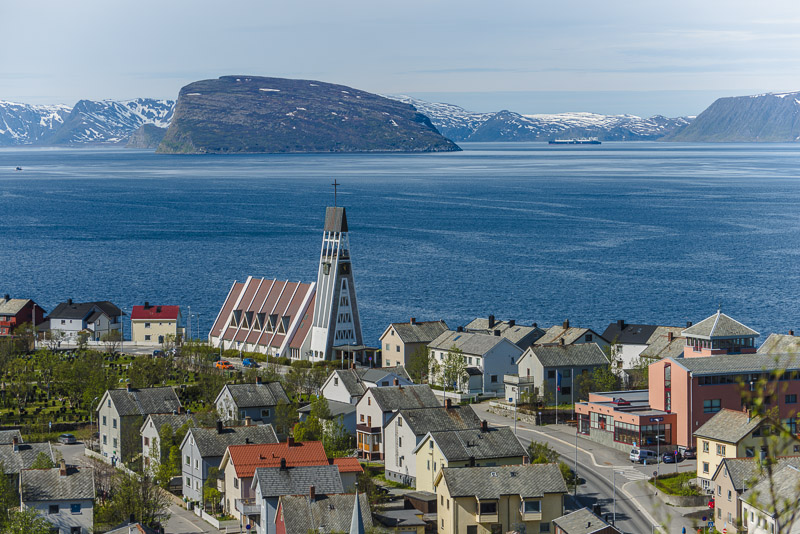
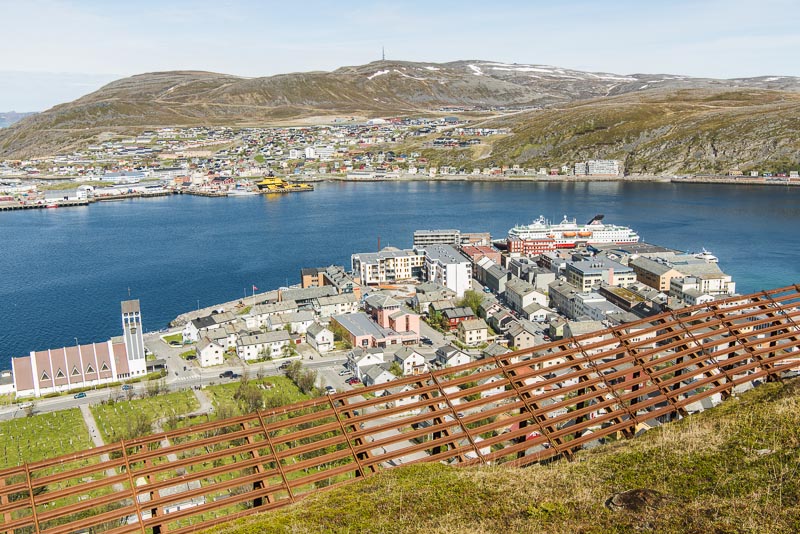
Hammerfest with its modern church. This town also was completely destroyed at the end of WW2.
The path leading up in serpentines is my goal for the one hour´s stay.
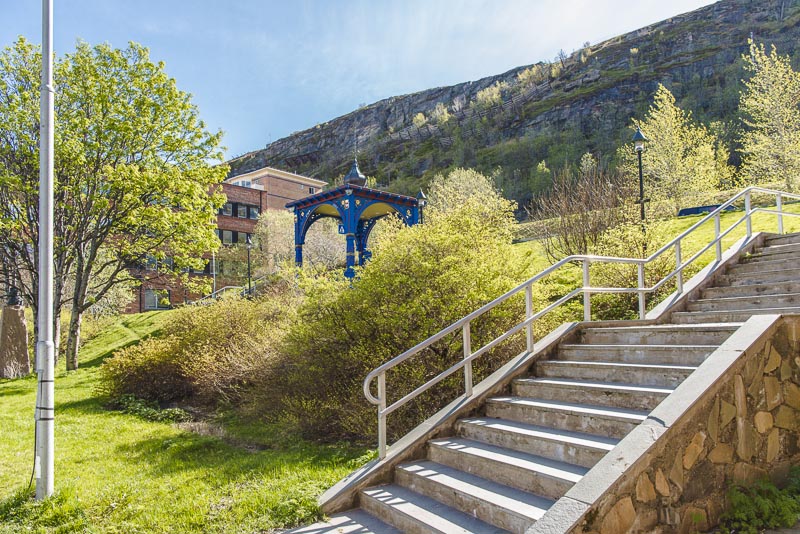
Starting off - crossing the smal park, passing by the blue pavilion ...
... and up the mountain! Not so much time for this.
But the view down to the town makes up for the effort of the ascent.
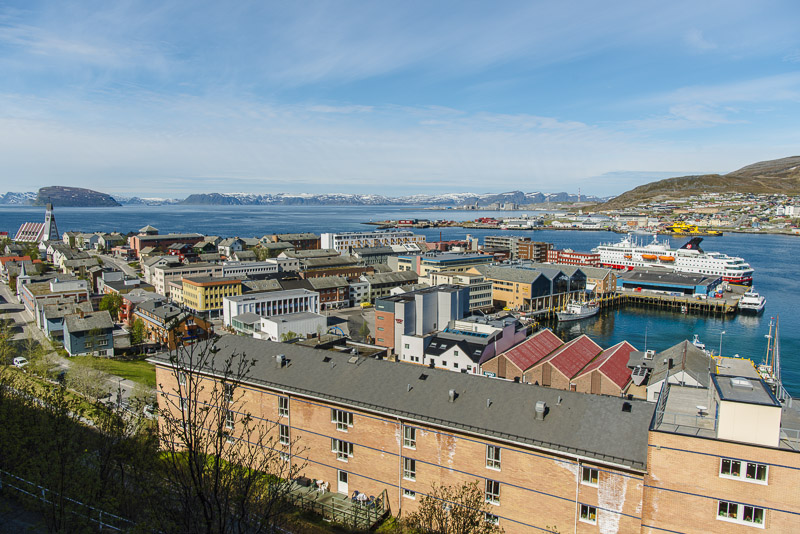
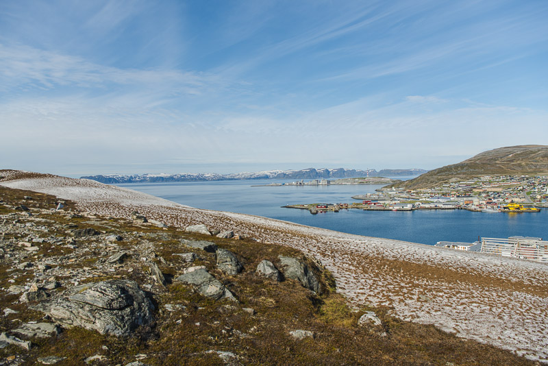
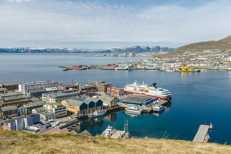
View over Hammerfest and to the natural gas refinery on Melkøya. The big island behind is Sørøya.
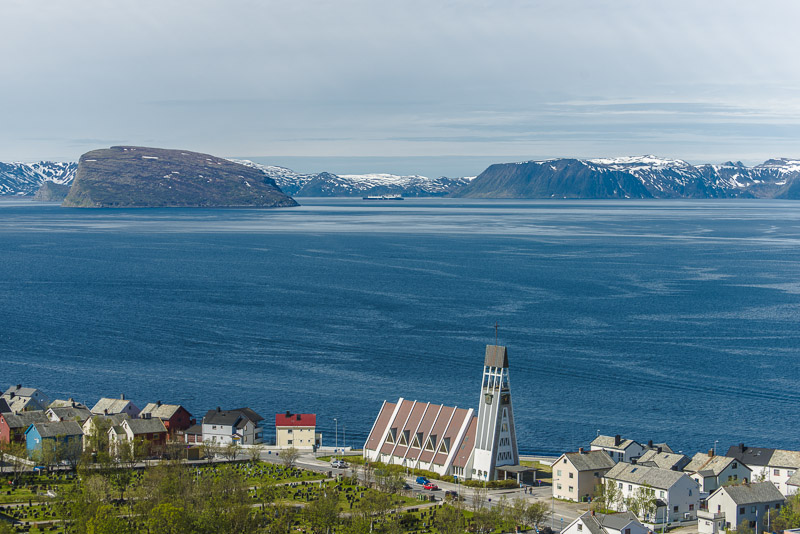
View over the church of Hammerfest and the cove to the island of Sørøya. The roof - like rock to the left os the small unsettled island of Håja.
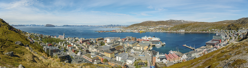
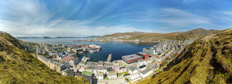
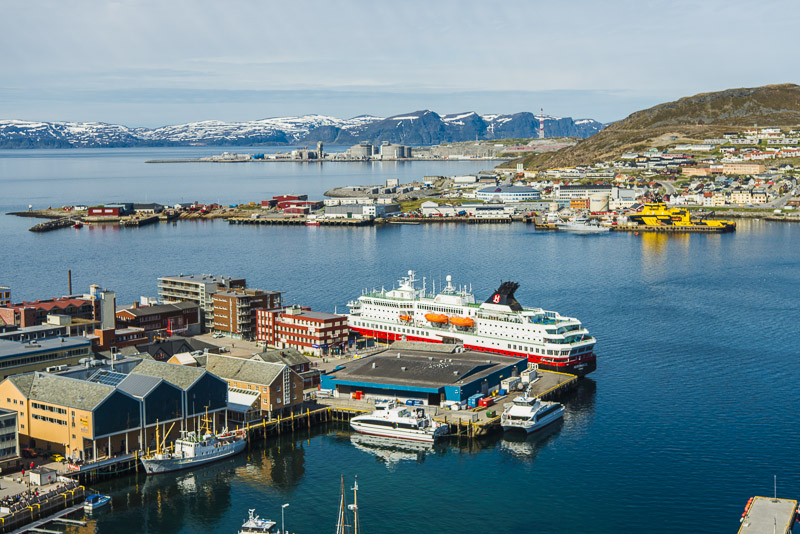
Panoramic picture of Hammerfest. Click here or into the picture for a larger display.
I walk a bit further up to the right, up the gentle slope along the steep ecarpment.
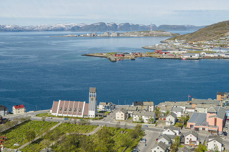
Above the church now, with the cemetery in front. Behind, the gas refinery on Melkøya. In the background the island of Sørøya.
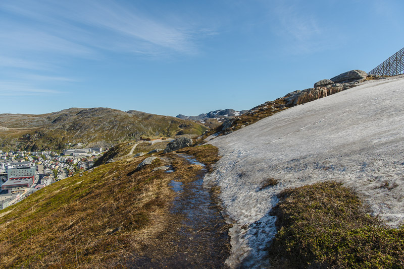
Last patches of snow at an altitude of 80 m - at the end of May!
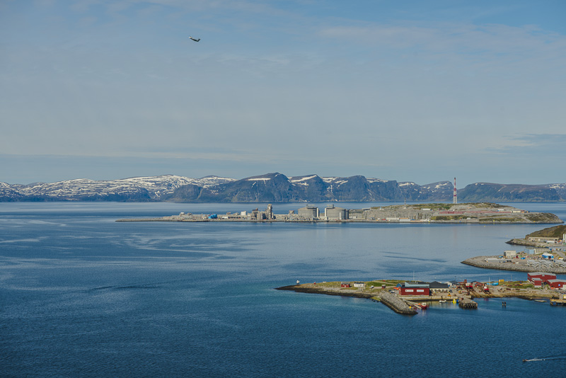
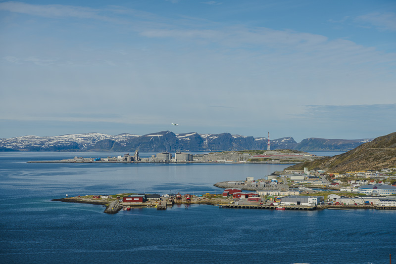
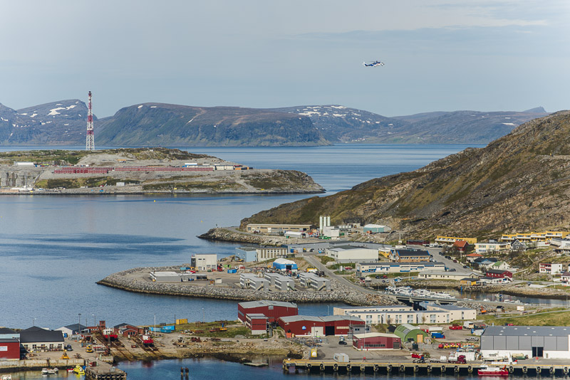
Overviewing the whole cove. Of course, also Hammerfest has an airport.
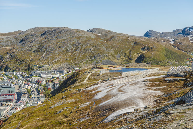
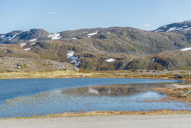
Vie back - on the plateau above the escarpments there is a little lake - Salsvannet.
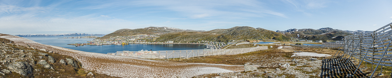
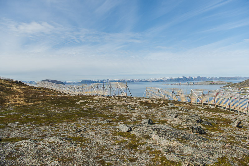
Avalanche protection devices for the winter - the slope is so steep, that in case of heavy snowfall the snow could glide down the slope - and endanger the city.
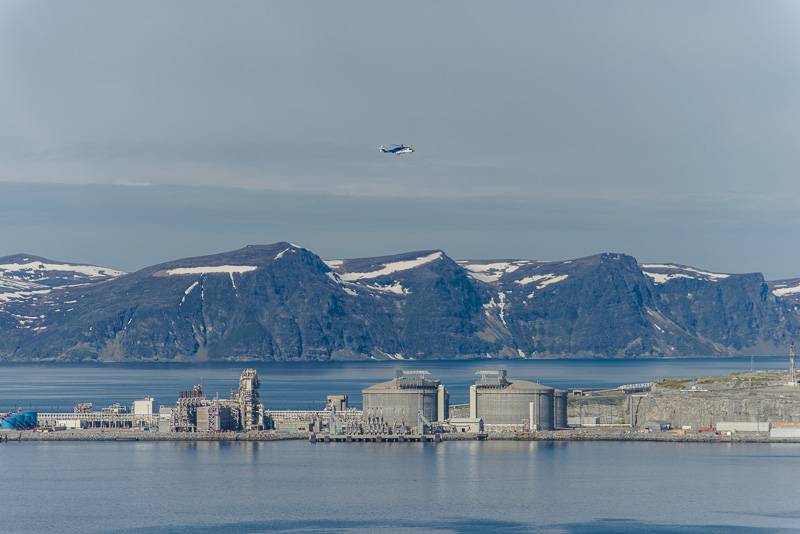
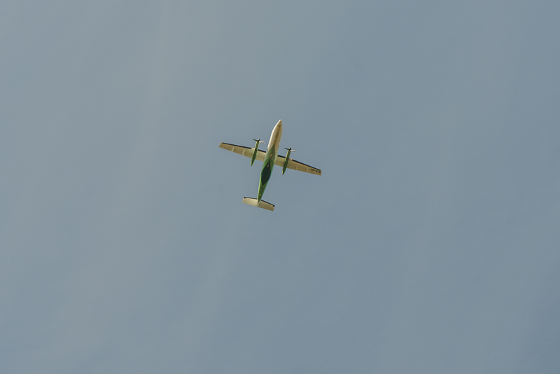
Helicopter approaching.
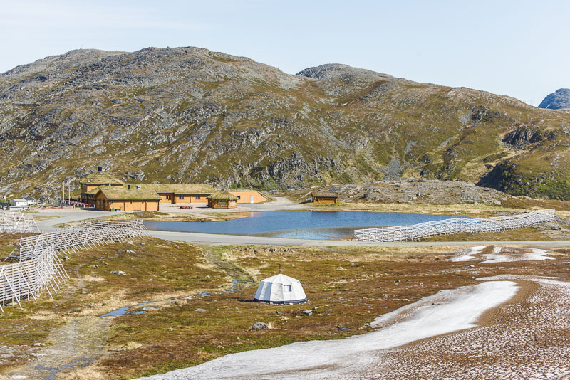
Salsvannet
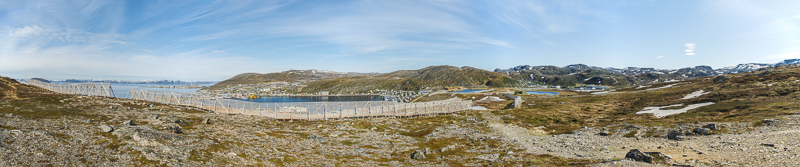
Panoramic picture from the hill behind Hammerfest, with the Salsvannet and the view over the cove to the refinery and the airport. Click here or into the picture for a larger display.
A second panoramic picture from the hill behind Hammerfest, with the Salsvannet and the view over the cove to the refinery and the airport. Click here or into the picture for a larger display.
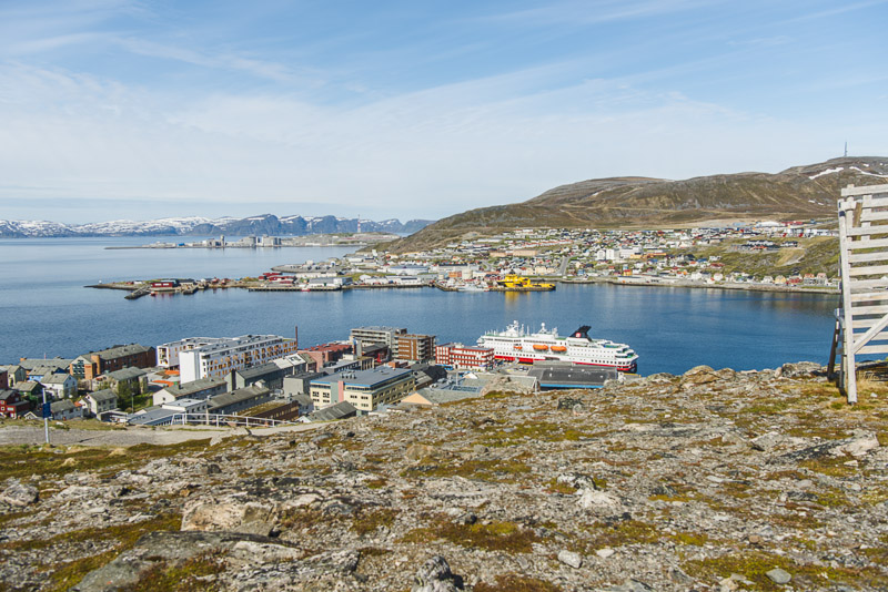
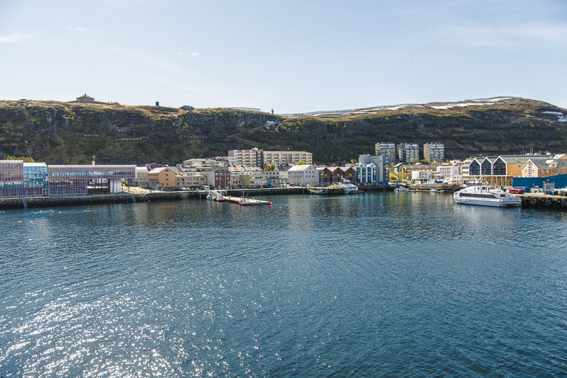
View to the harbour with our ship.
Salsvannet
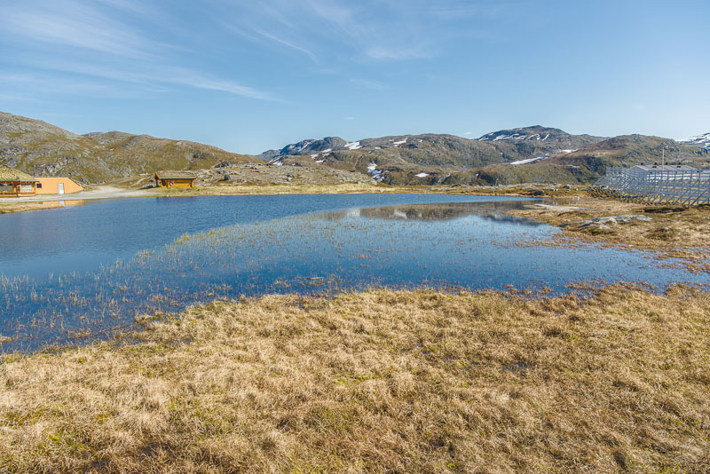
Salsvannet
Salsvannet
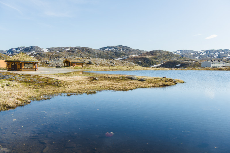
Salsvannet
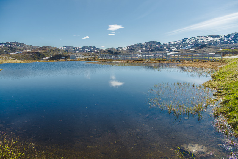
Salsvannet. Behind is the transponder on the mountain Tyven (418 m).
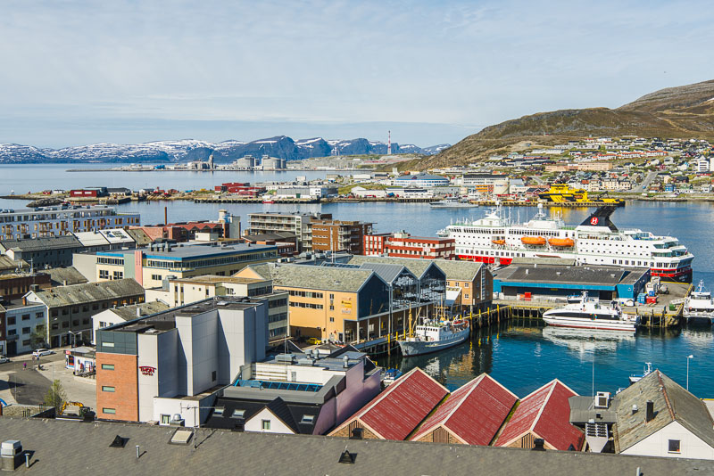
Panorama of the harbour, from the descent back to Hammerfest from Salsvannet to the harbour. Click here or into the picture for a larger display.
Our ship. the MS Nordnorge, in the haven.
The ship sirene is sounding, and now I realize, that I miscalculated the time spans. Departure not in 15 minutes, but 5 minutes! In this situation, I decide for a sprint ...
Back on the ship and viewing over the haven ...
... and along the street I sprinted back. It now takes 15 more minutes, for the buses from the sightseeing trip to arrive !!!
15 Minutes late, we depart. The house on the hill far right is the pub near the Salsvannet.
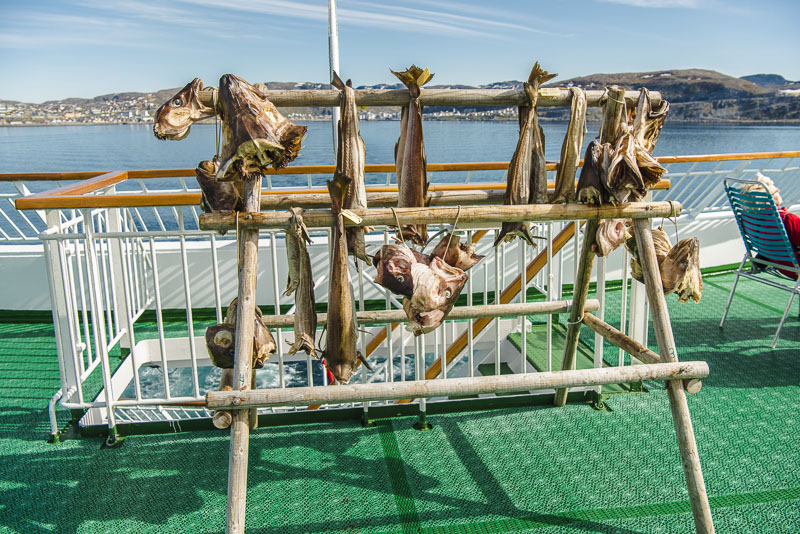
Dried fish exhibition at the afterdeck. Not exactly a nice smell, but usually the headwind clears the air.
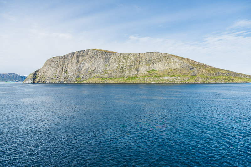
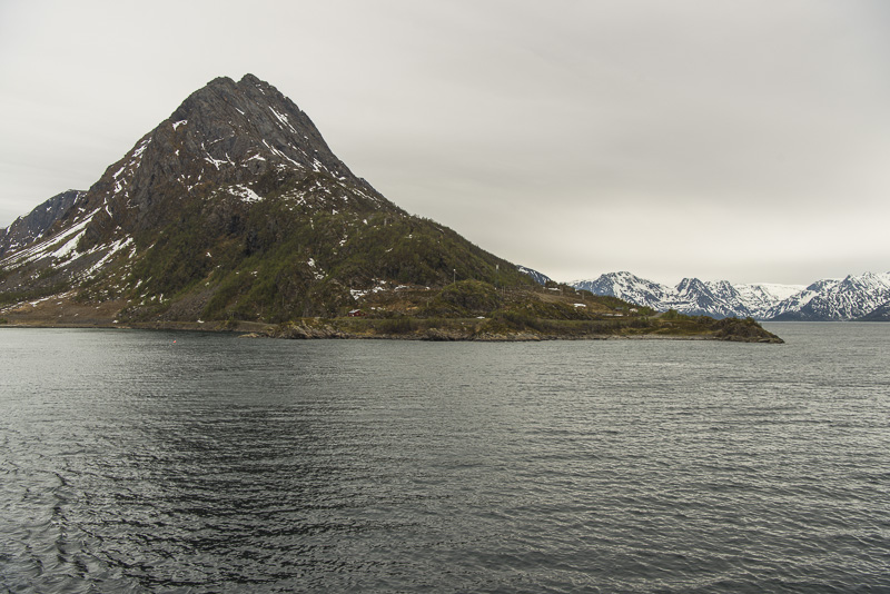
The 296 m high unsettled island of Håja. Our tour guide explains via the loudspeaker, that in fact this is not island, but a huge bolder carried there by the glaciers of the ice age. It is the largest bolder in the world, they say.
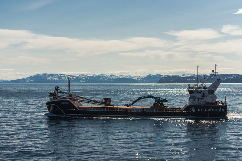
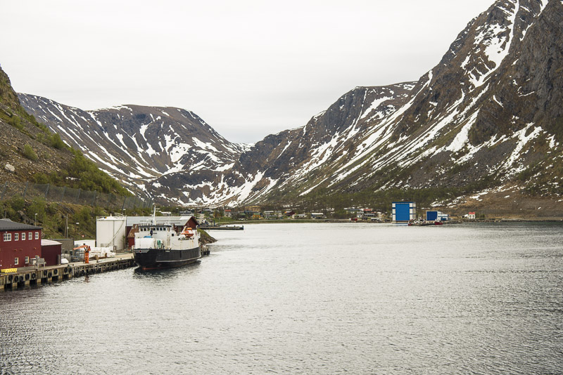
This ship is anchored all the time of our presence in the cove.
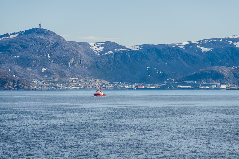
View back: the neighboring place suoth of Hammerfest named Rypefjord, with the Tyven (418 m ) in behind.
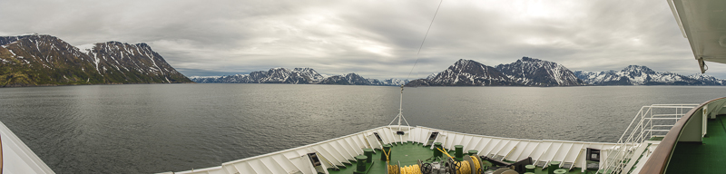
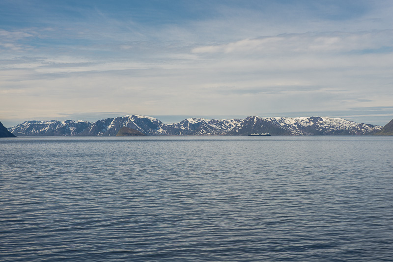
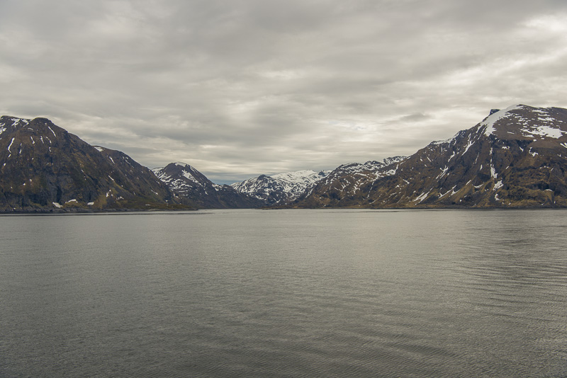
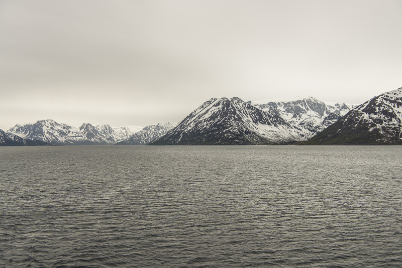
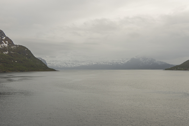
Sailing the Sørøysund to southwest now. To the left the mountains of the island of Seiland, up to more than 1.000 m and partly glaciated.
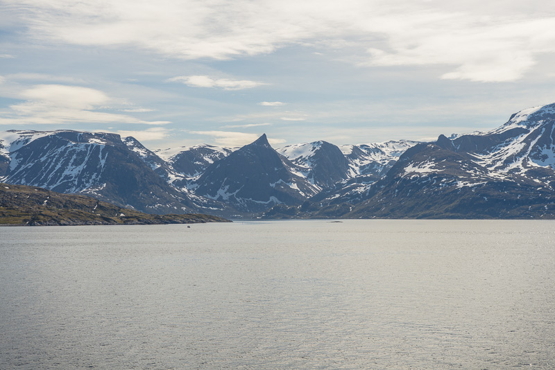
To the right, the mountains of the island Sørøya.
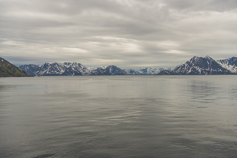
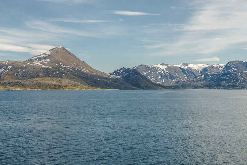
To the left, the island of Stjernøya following the island of Seiland.
A "fast" panorama from the foredeck of the Nordnorge, shortly before entering the Øksfjord. Click here or into the picture for a larger display.
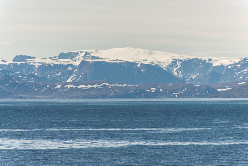
Øksfjord. On the top of the mountains you can see a white contour - this is the plateau glacier on the Øksfjordjøkelen, 1.204 m hoch.
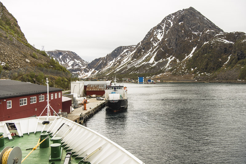
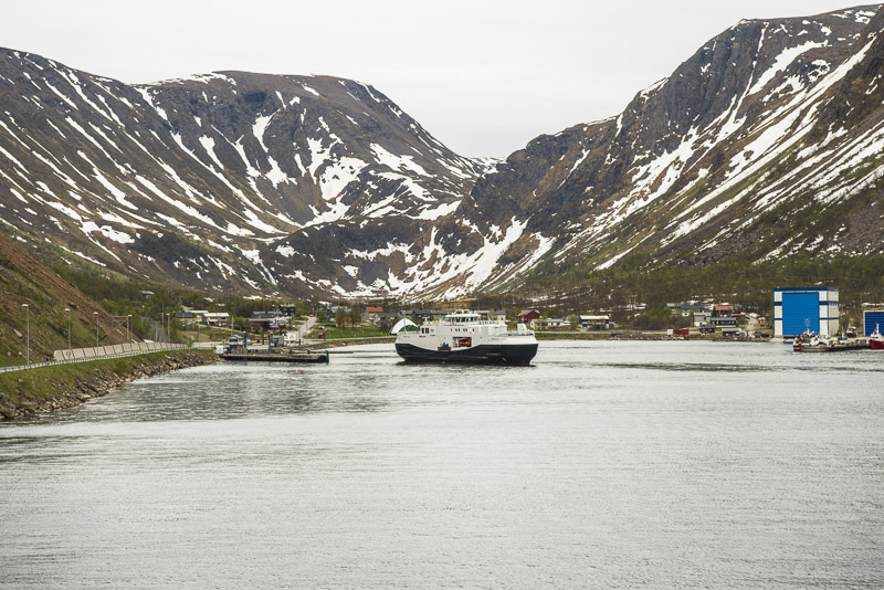
The houses of Ystneset, the neighboring place of ...
... Øksfjord, ...
... where we put on in due course.
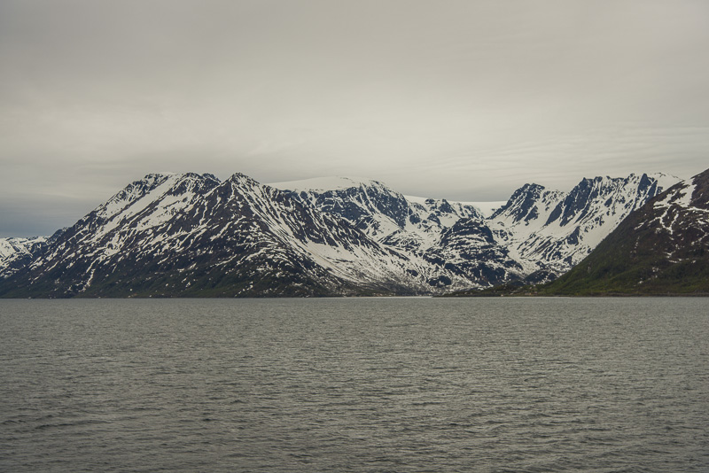
A typical, ice-age-formed U - valley.
Øksfjord, to the right in behind Vassdalstinden (678 m) .
Of course we cannot see the lake Vassdalsvatnet, situated 20 m above sea level in the valley bottom.
Vassdalstinden
Leaving Øksfjord after a 15 minutes stay.
The weather is now deteriorating fast, and it starts to rain. No good prospect for the photographe, ...
... who soon draws himself back ...
... into the cabin. I´ve seen Skjervøy and Tromsø in gorgeous conditions on the way North.
We booked the overland our on the Vesterålen for womorrow, where we have to get up early, so we pass up the midnight concert in the Arctic cathedral in Tromsø and go for sleeping.