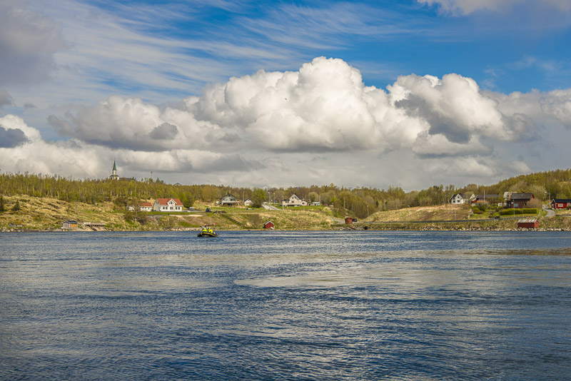
19.5.2016: (Brønnøysund - Sandnessjøen) - Nesna - Ørnes - Bodø - Stamsund - Svolvær
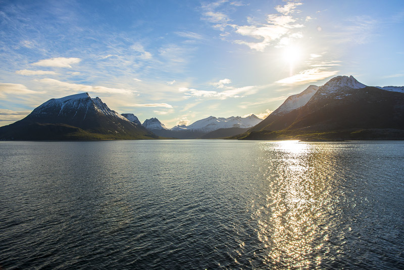
Actually, I didn´t intend to get up as early as 5:40, but turning around, realising it is light already, a short view behind the dark curtain, and it is clear that I have to venture out on deck immediately.
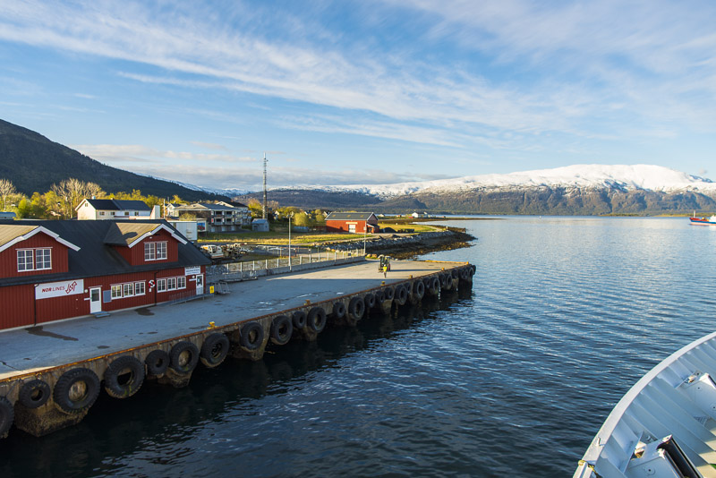
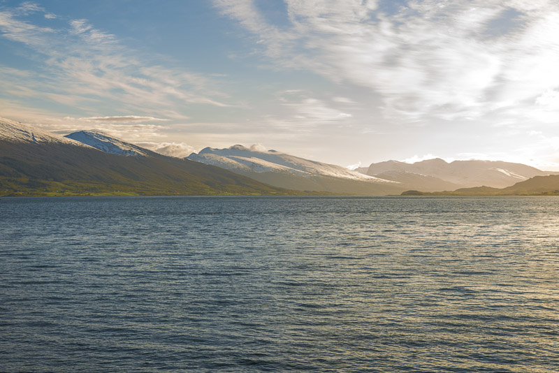
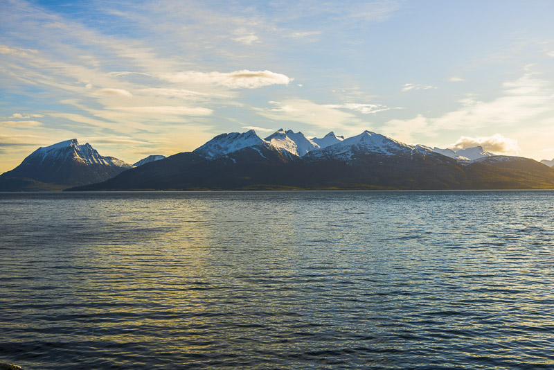
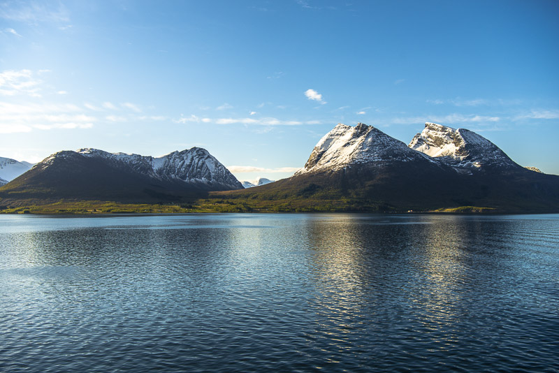
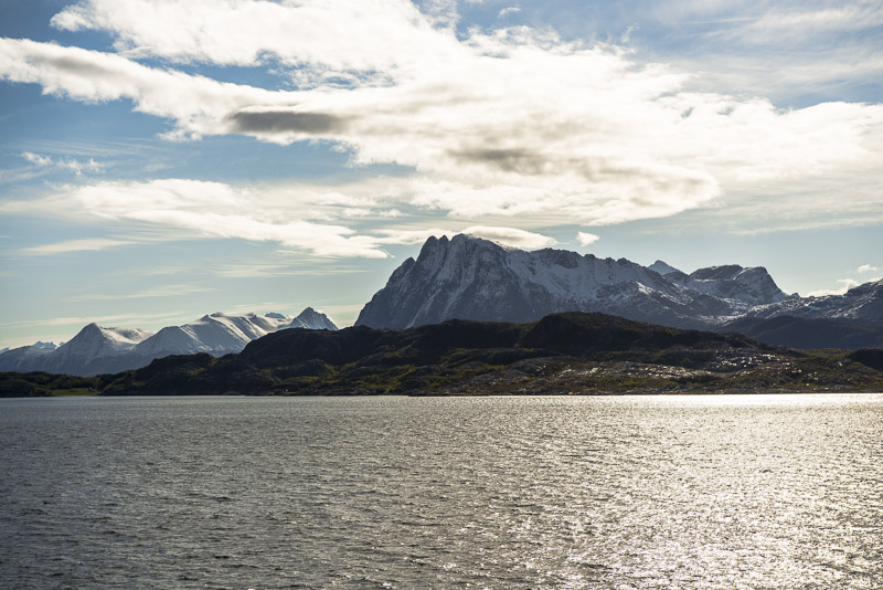
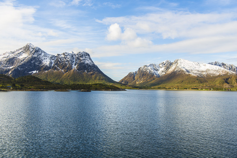
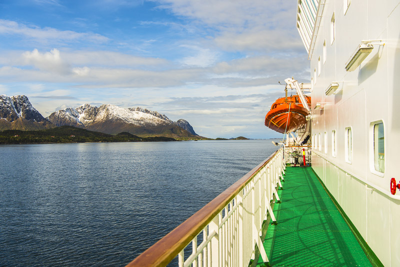
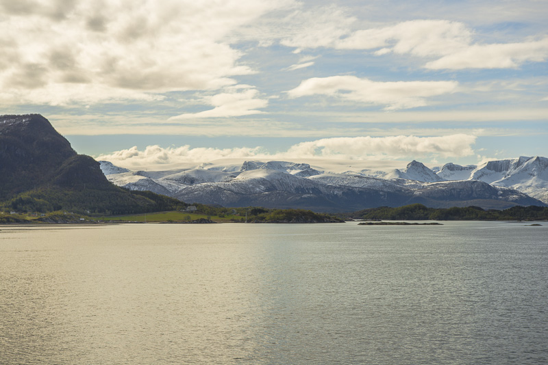
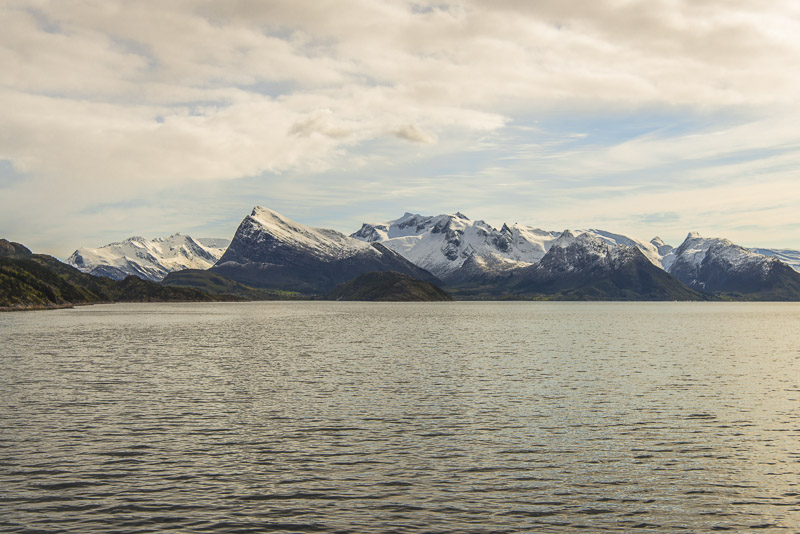
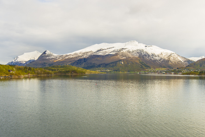
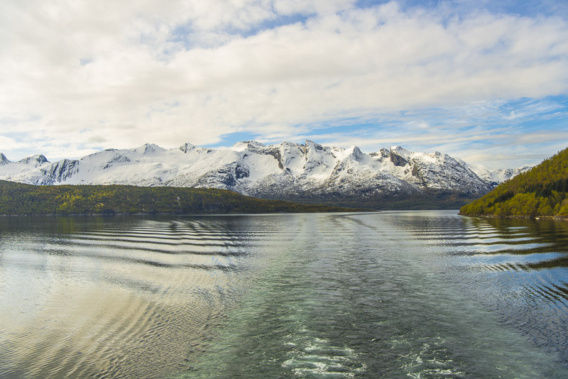
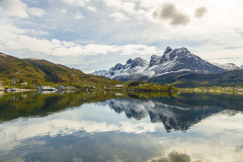
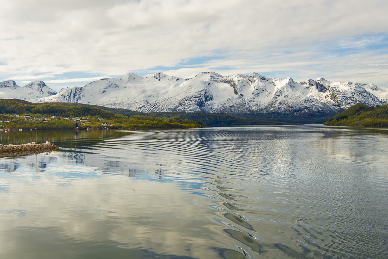
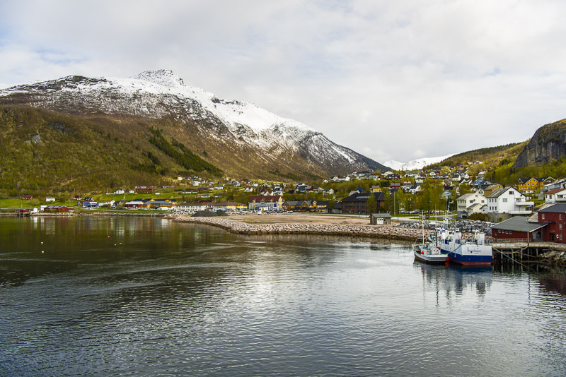
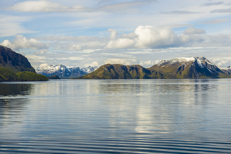
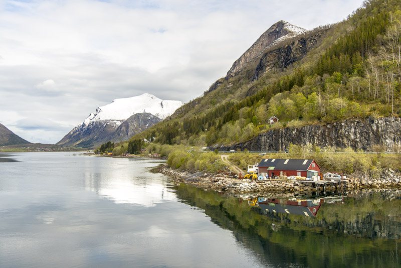
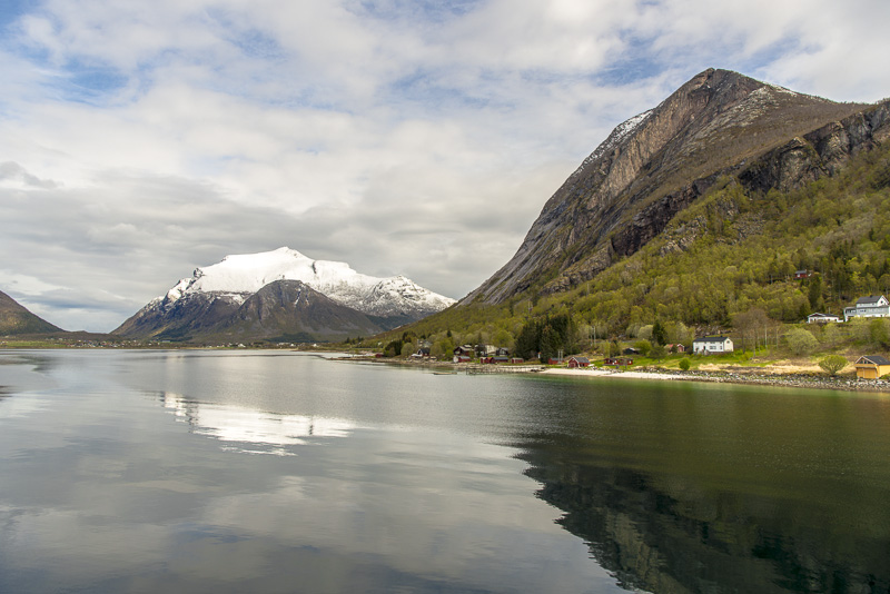
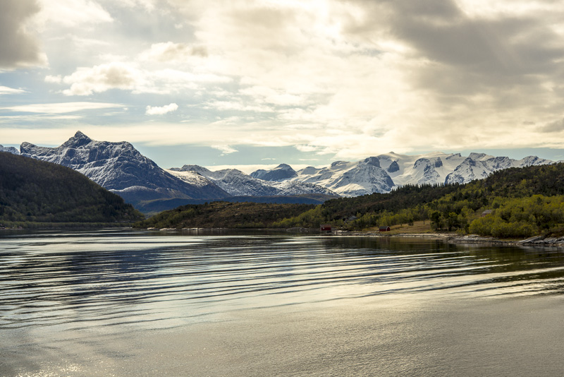
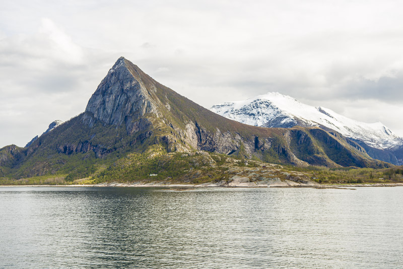
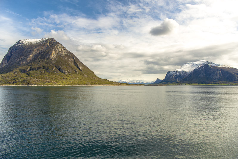
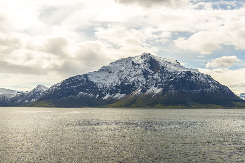
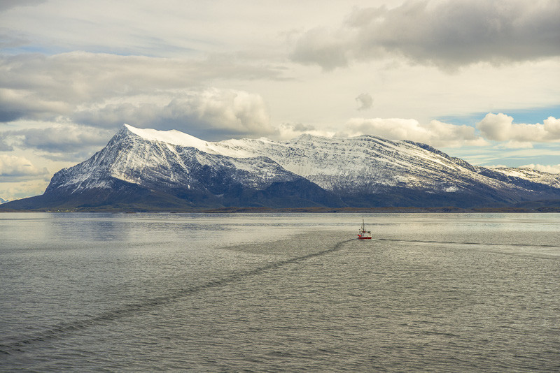
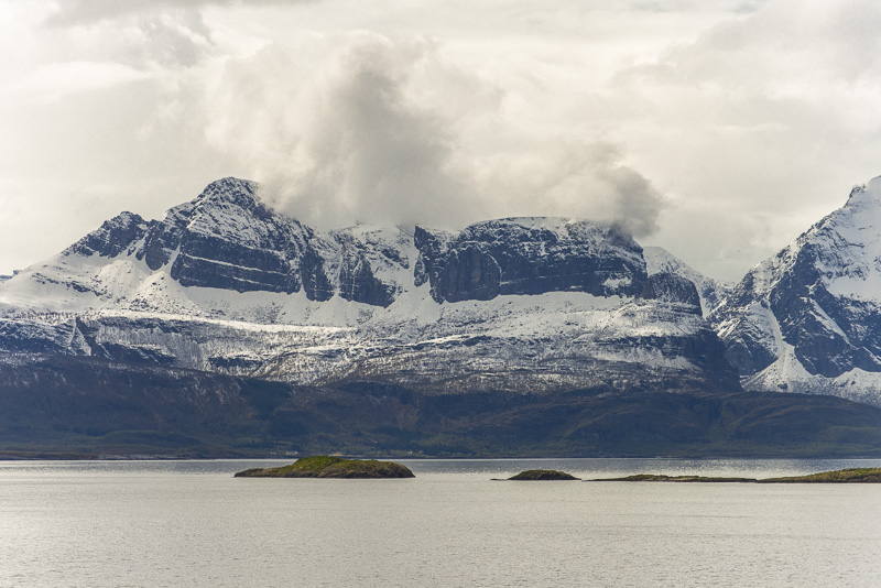
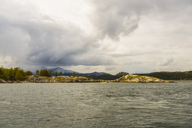
We are putting on at Nesna. View back to the Lihauet (843 m)
In seems to have snowed during the night - therefore the mountains have a special white. The prominent peak to the right is Tomskjevelen (922 m)
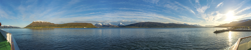
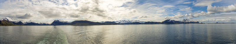
When the boat is lying steadily you may try a panorama. Click here or into the picture for a larger display.
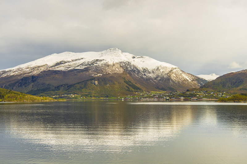
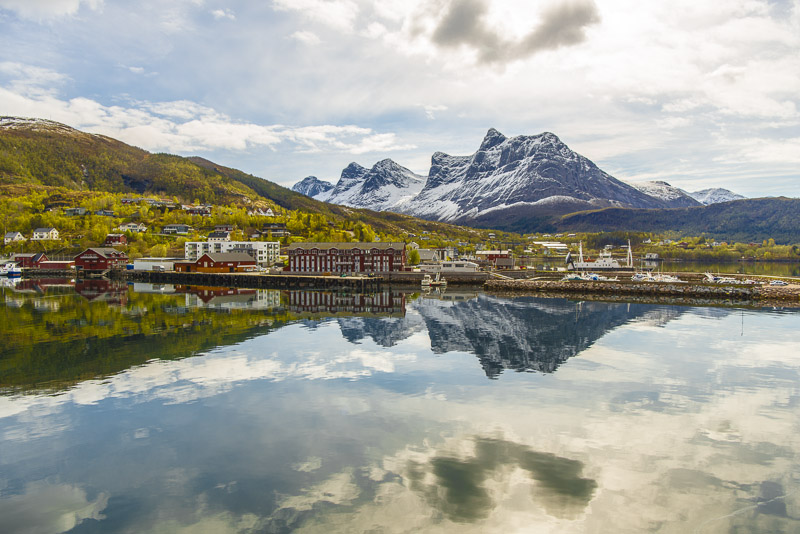
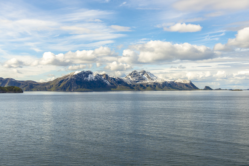
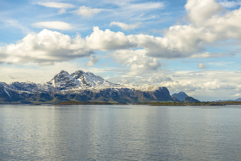
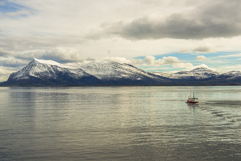
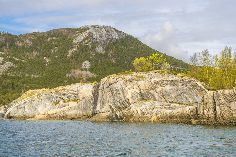
Stokkatinden (599 m) to the east
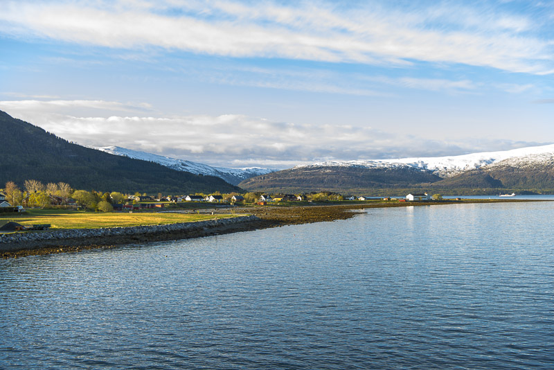
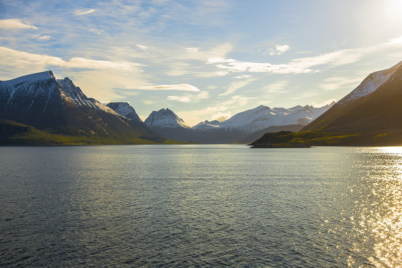
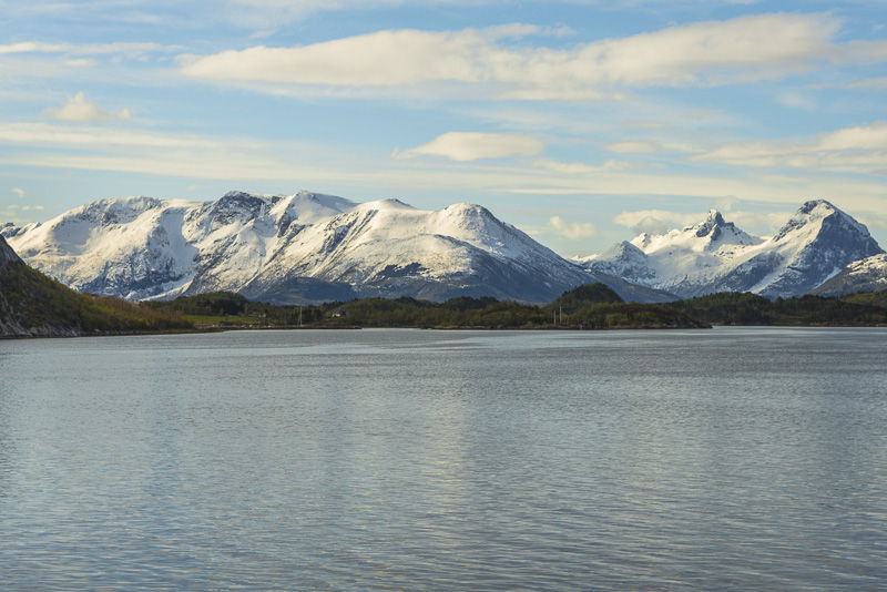
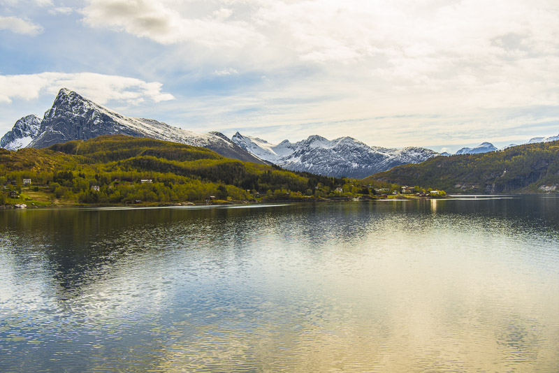
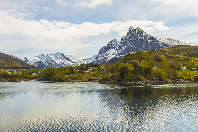
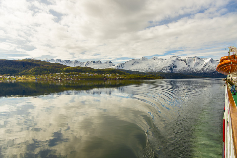
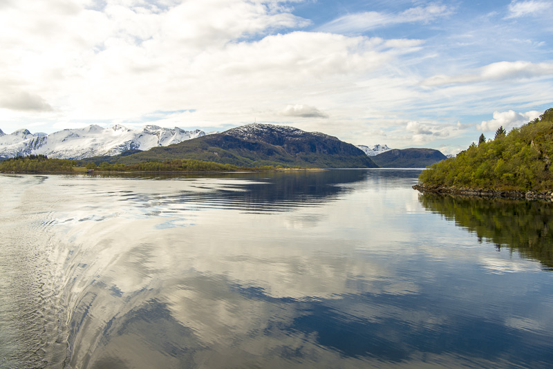
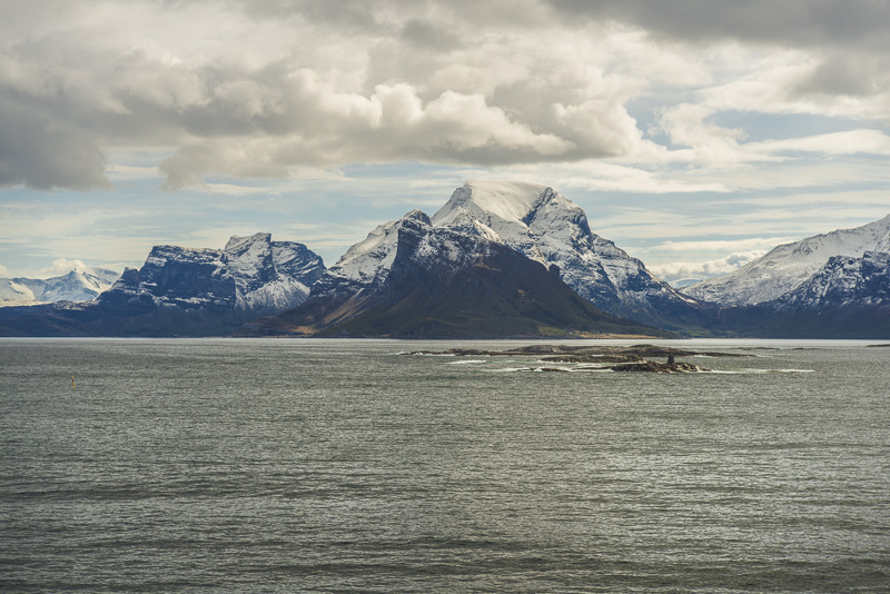
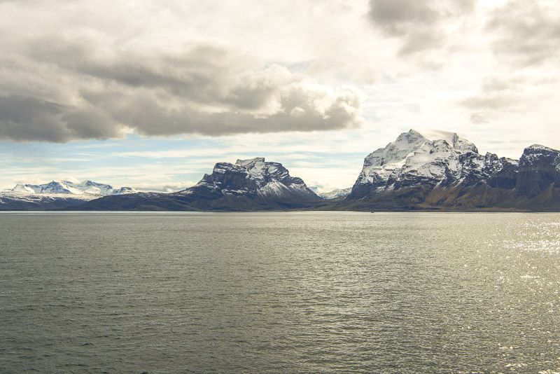
Starting agoain: we are going to sail to the right in front of the mountain ridge heading for Tomfjorden.
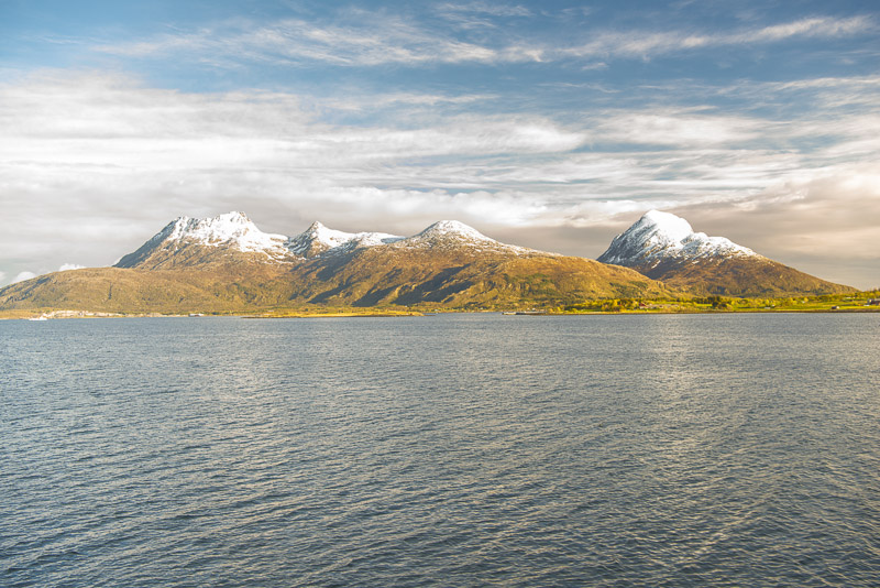
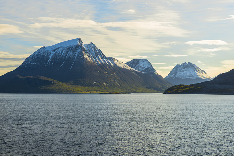
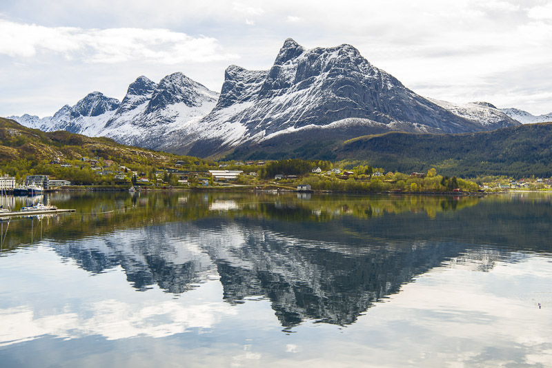
Free view now on Breitinden and Tomskjevelen.
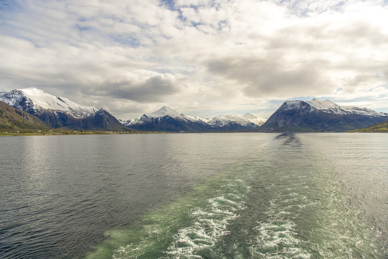
Sailing north now.
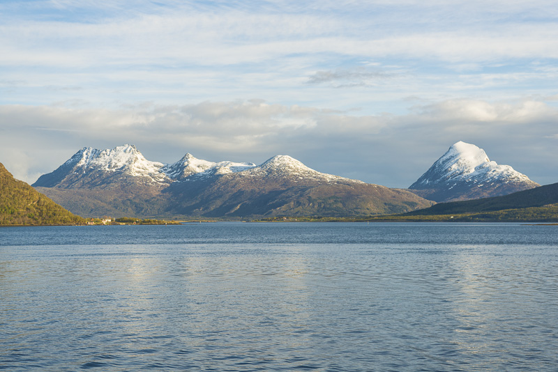
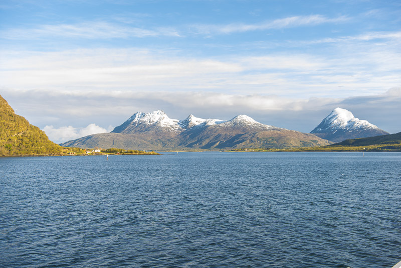
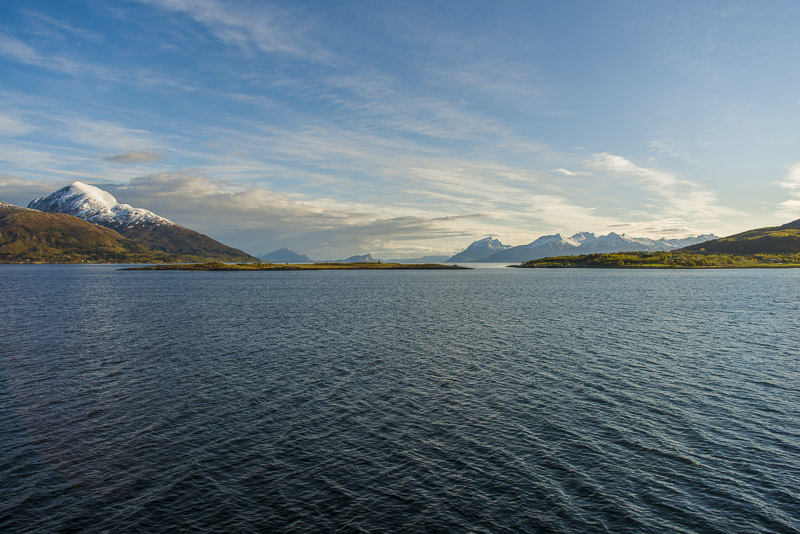
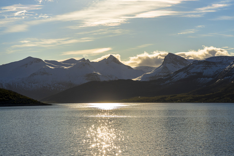
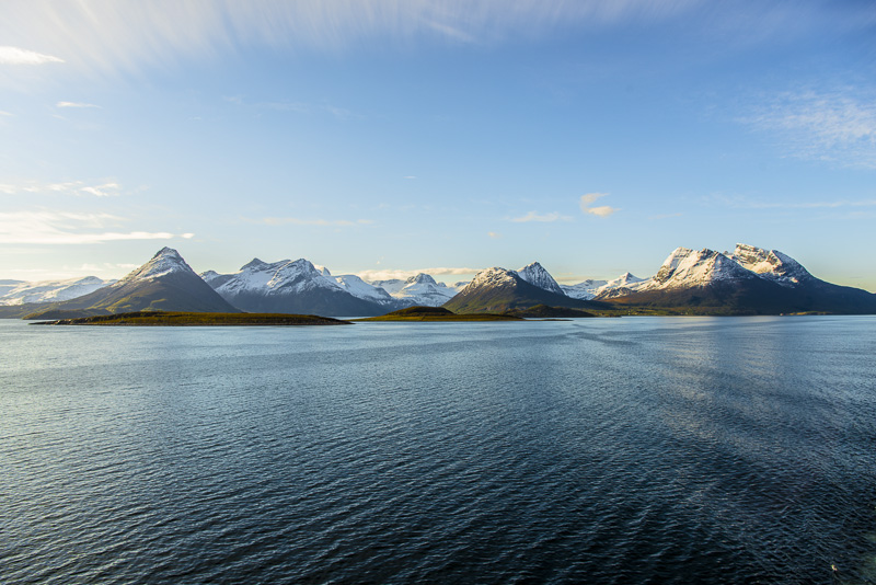
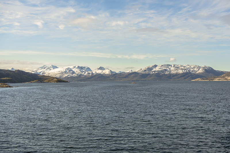
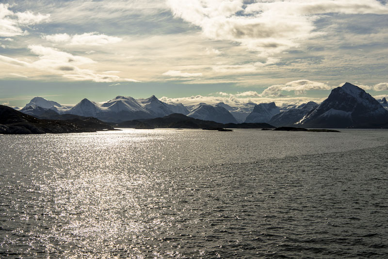
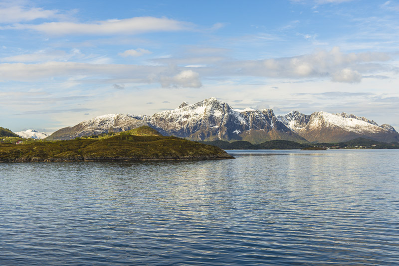
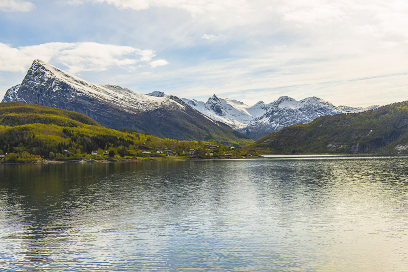
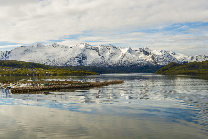
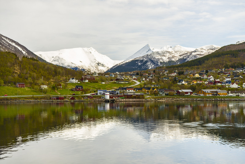
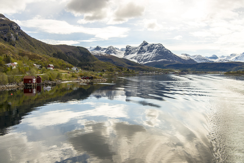
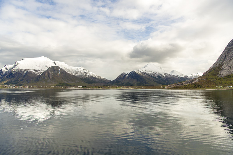
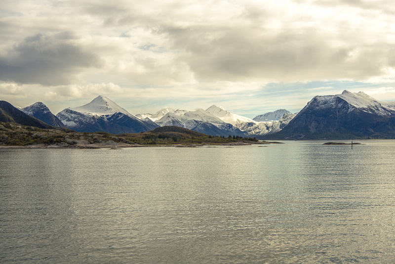
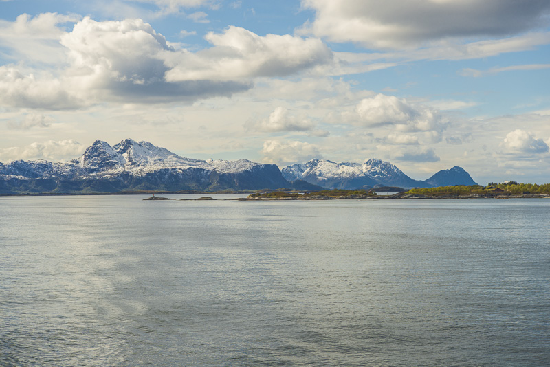
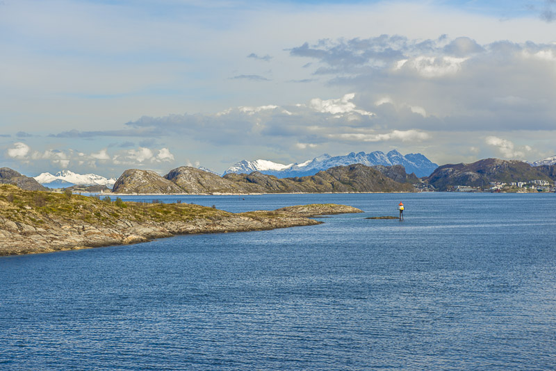
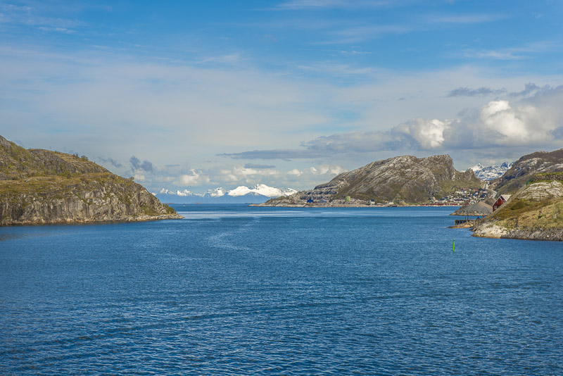
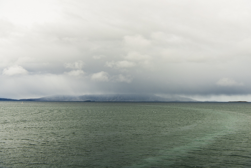
View back - the distant ridge to the left are the "7 sisters" of Sandnessjøen (we put on there at 3:45).
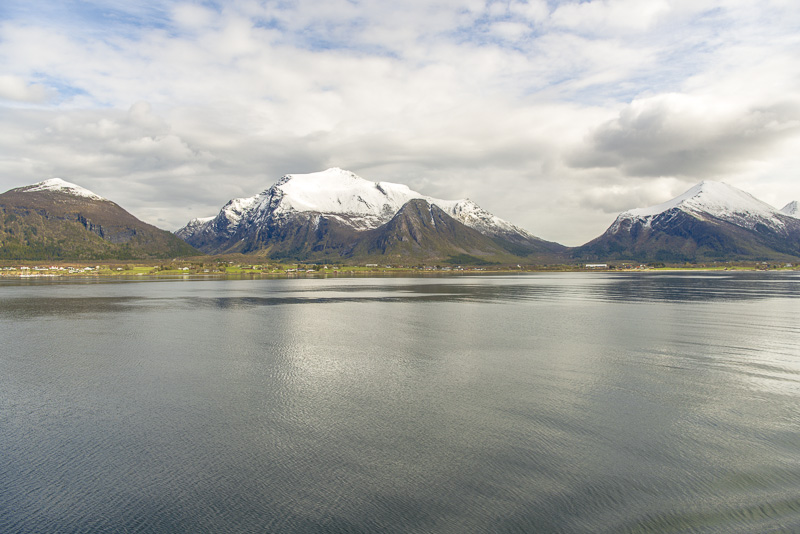
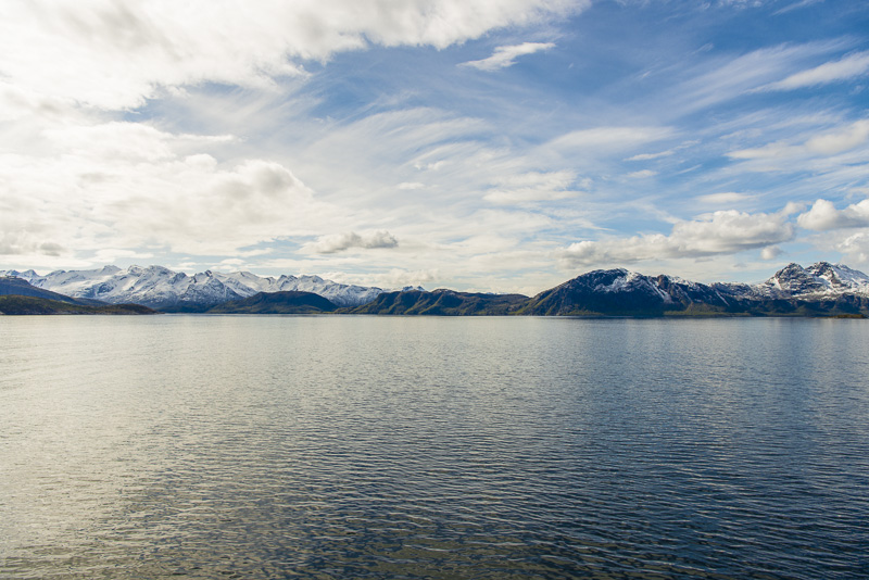
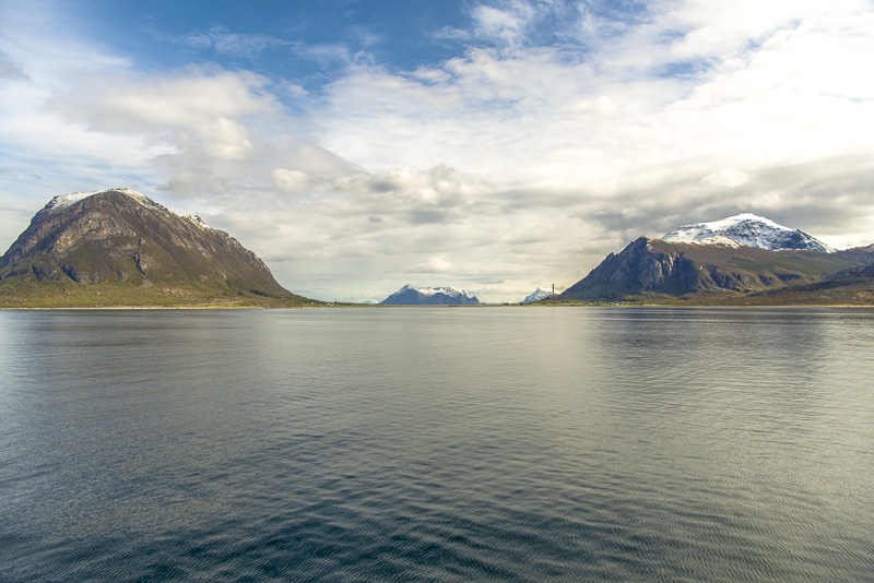
Mountain ridges to the Northwest around the Stordalstinden (820 m)
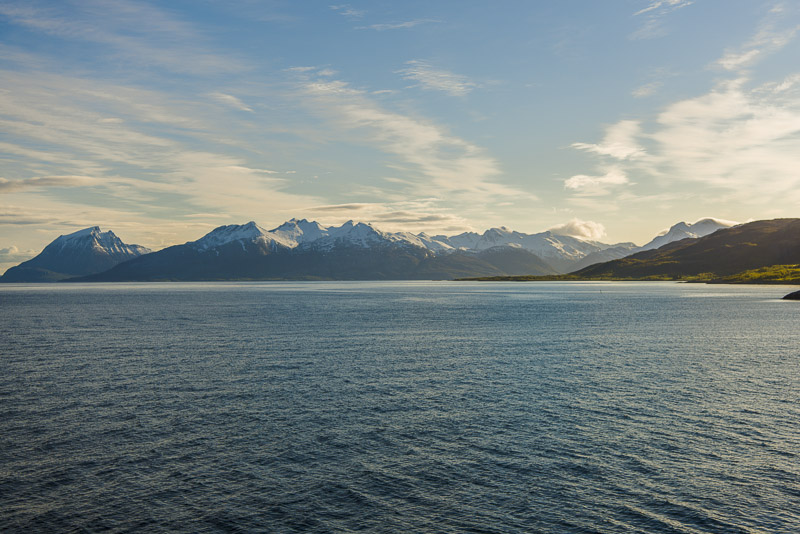
View back, with the 7 sisters.
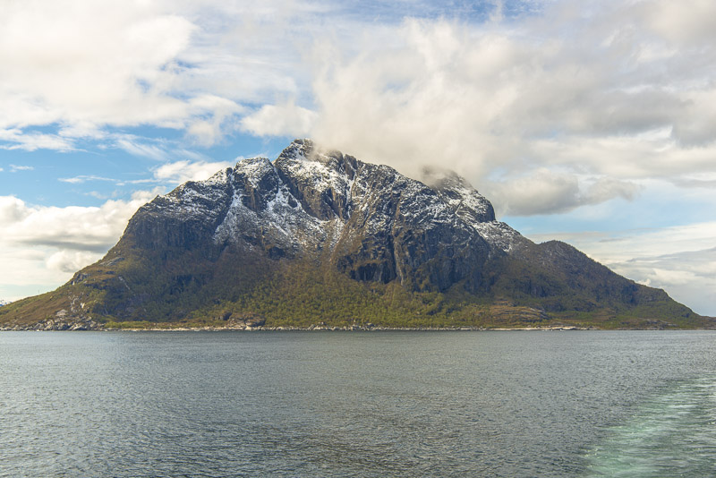
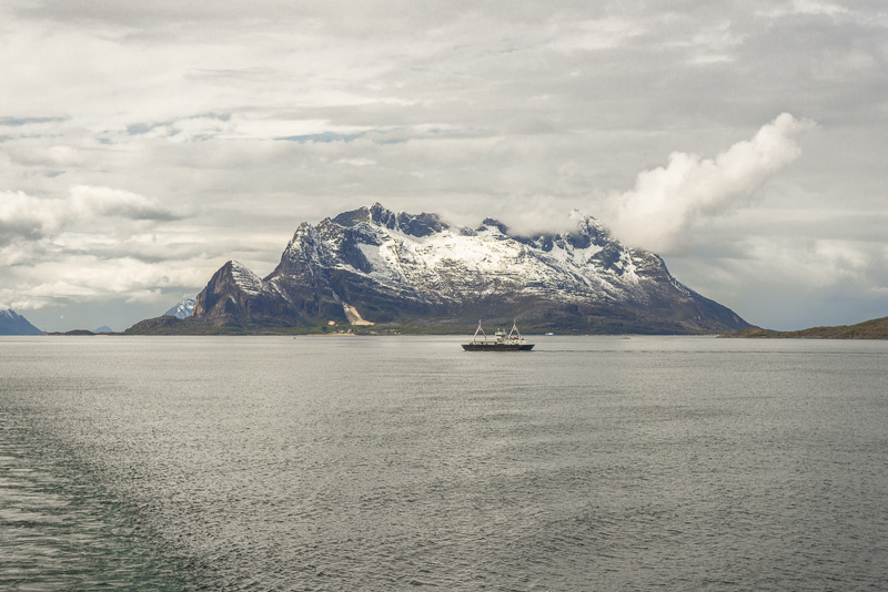
We are sailing very close now to Tomskjevelen (922m)
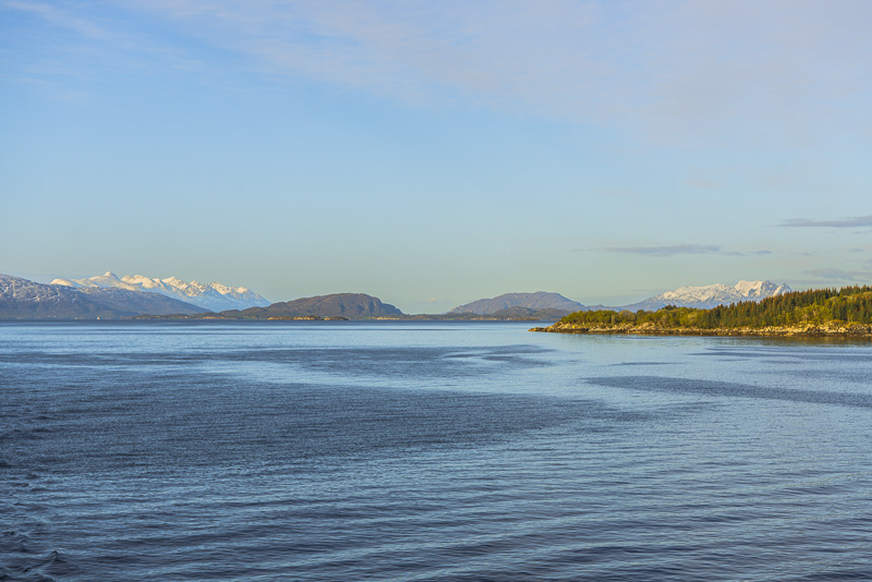
Zoomng in to the 7 sisters of Sandnessjøen
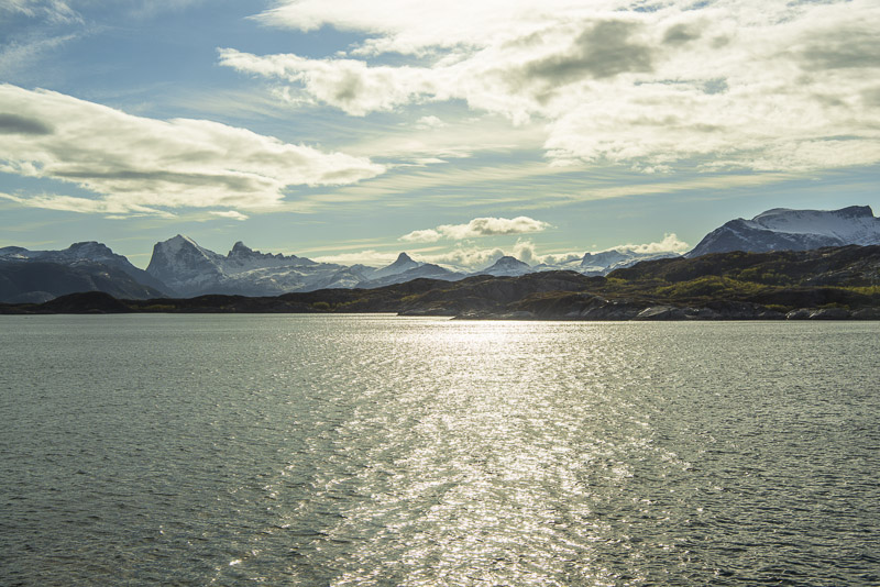
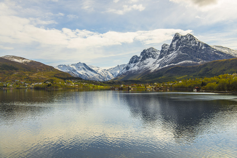
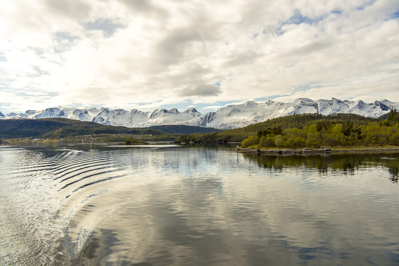
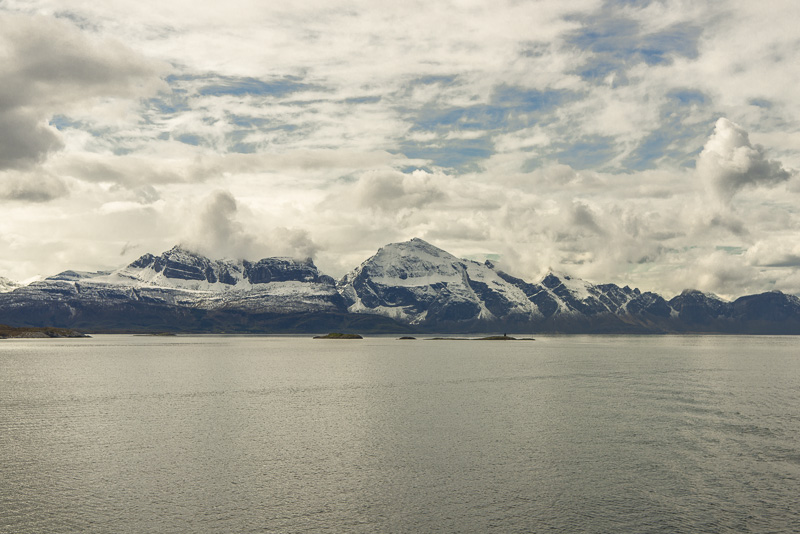
Now starting a gorgeous northbound panorama journey along snow covered mountains.
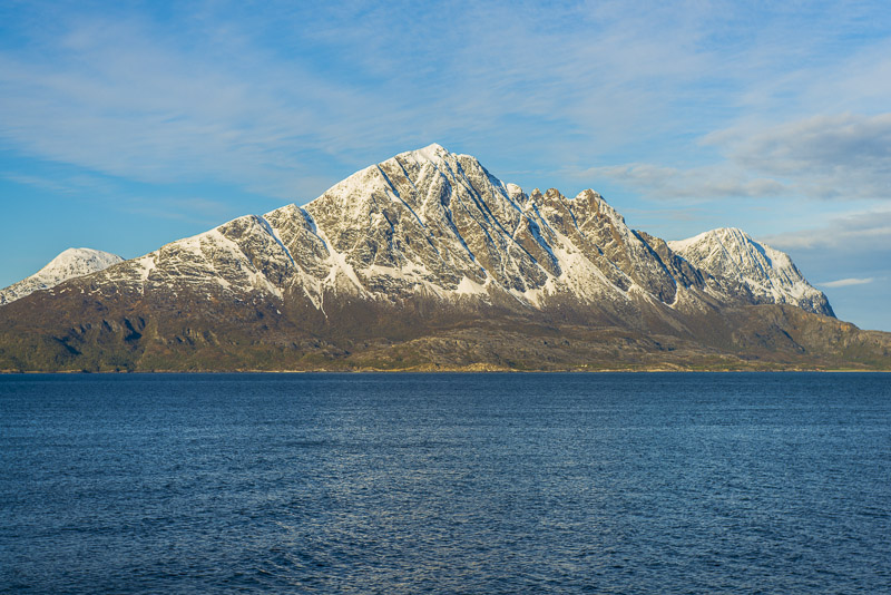
The northern slopes of the Tomskjevelen
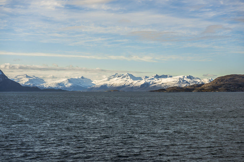
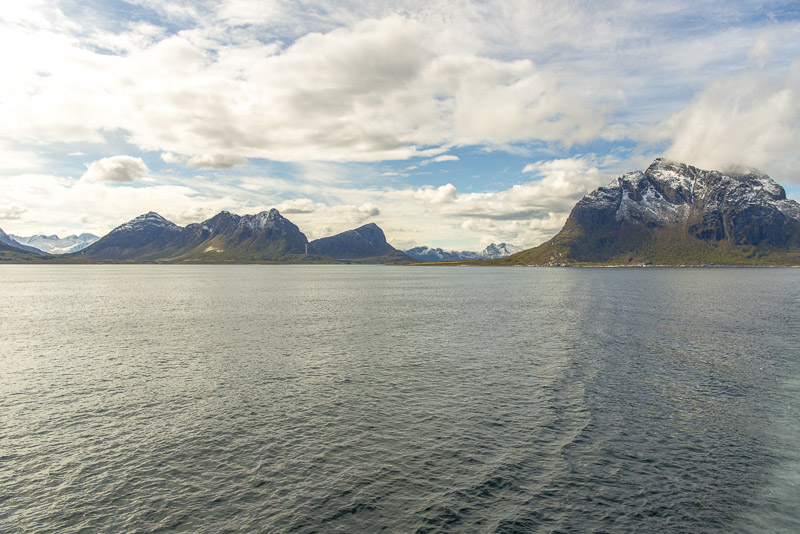
To the east ...
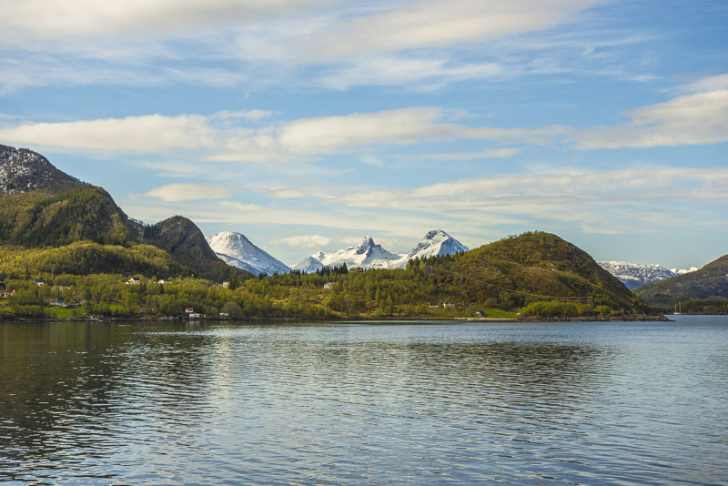
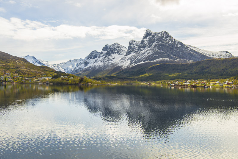
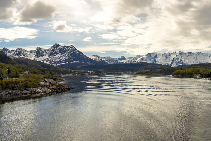
we get ever changing and never ending views to fjords and snow covered mountains.
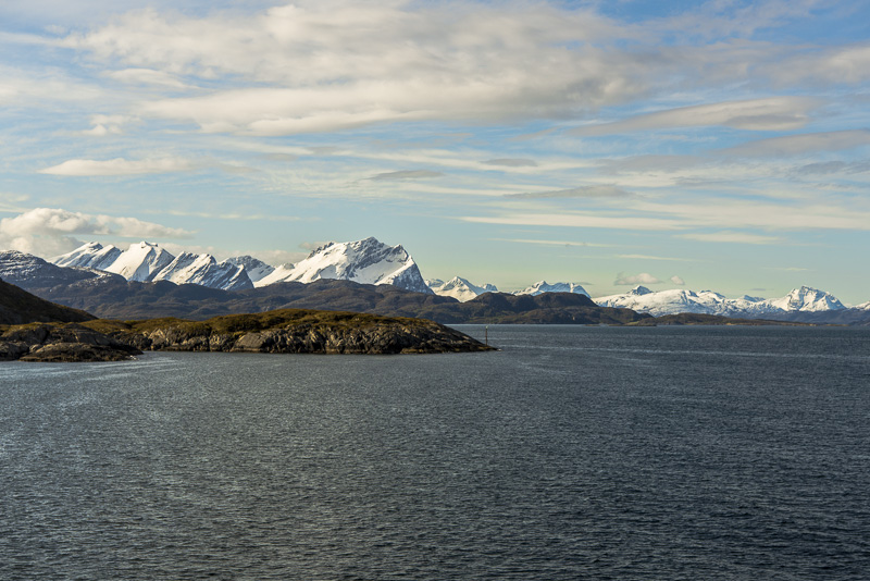
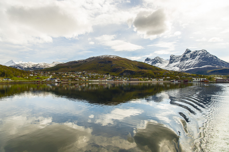
Another view back
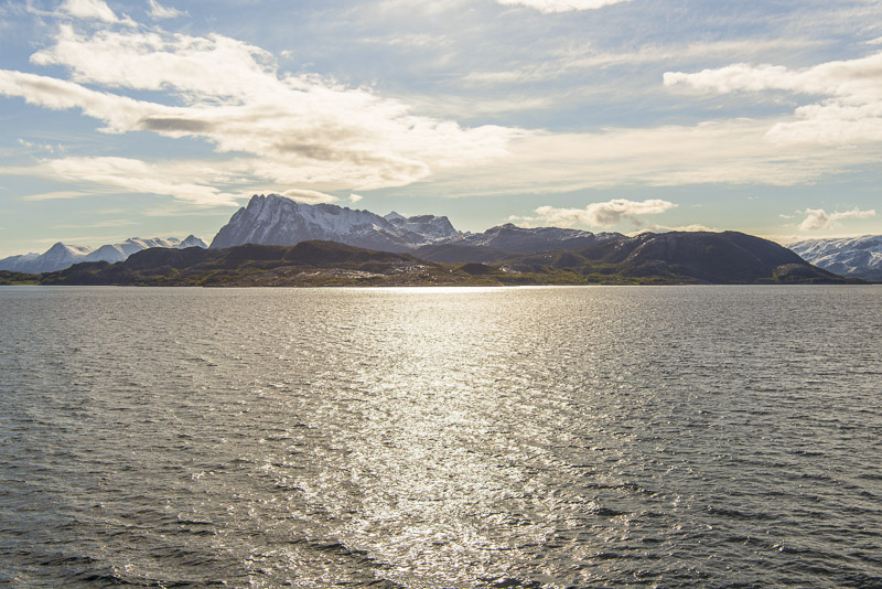
This seems to be the doble summit on ...
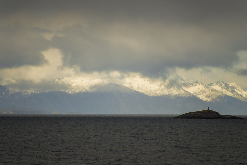
... the island of Aldra (Ørnestinden and Hjarttinden)
To the left on the island of Selsøya the prominent peak of the Hestmannen (571 m)
More activity on the deck now, ...
... as we are crossing the arctic circle.
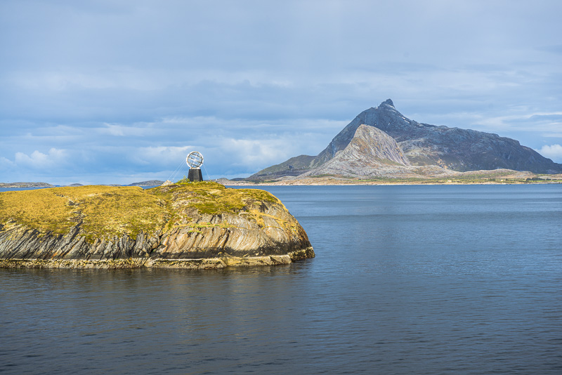
I regard the "polar circle baptism" as "tourist exhilaration" and don´t tkae part. I am exhiliarated enough by the views.
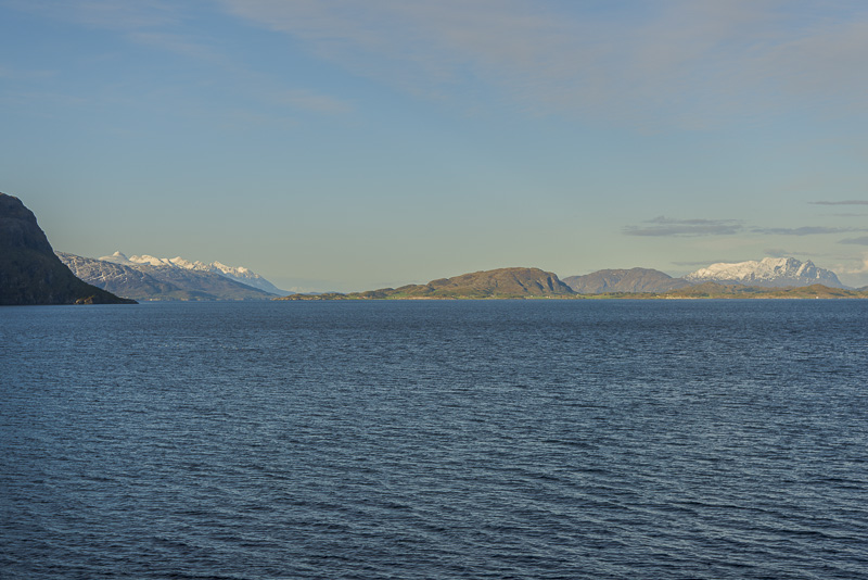
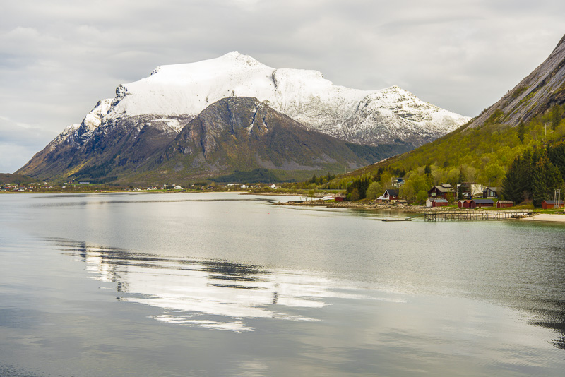
Now it is increasingly impossible ...
... to identify all the mountains around - my camera doesn´t have a GPS - Function.

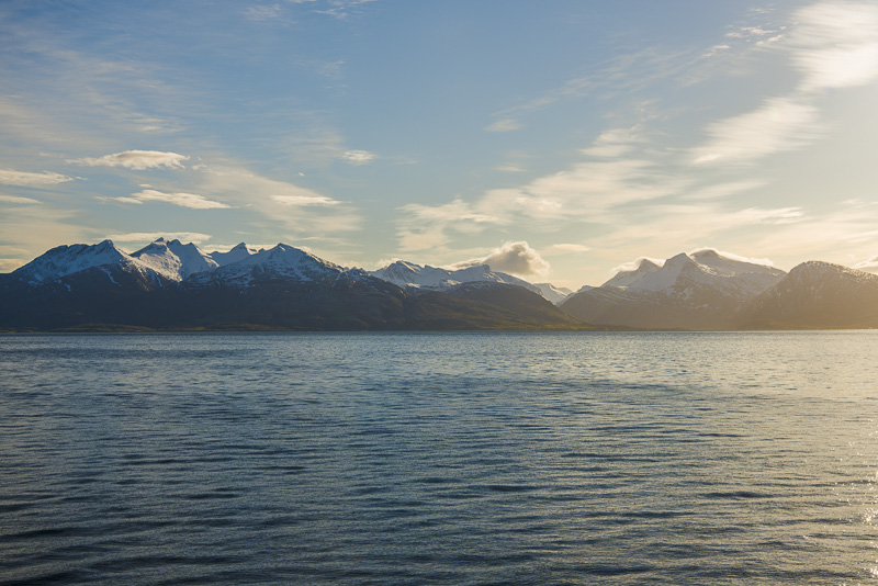
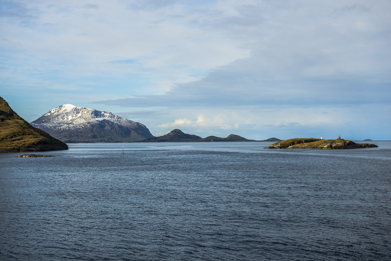
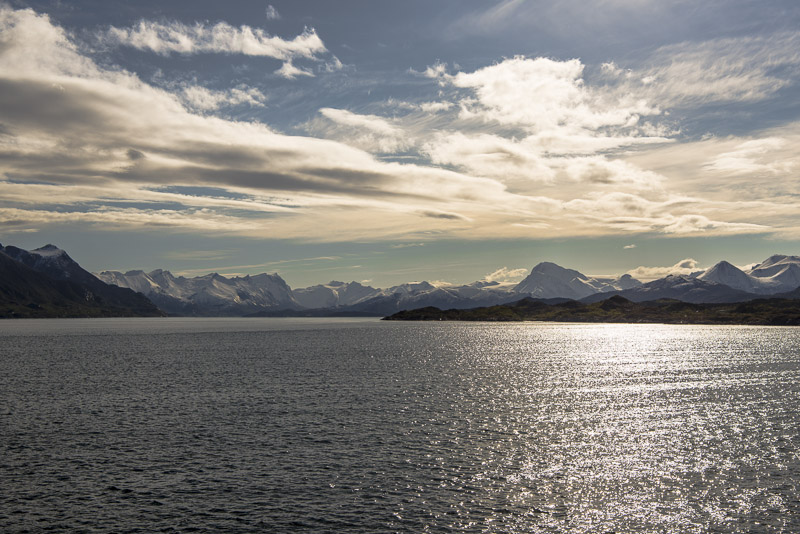
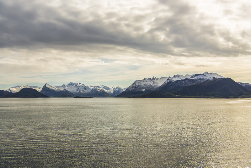
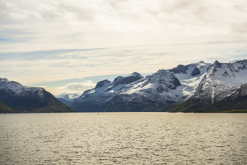
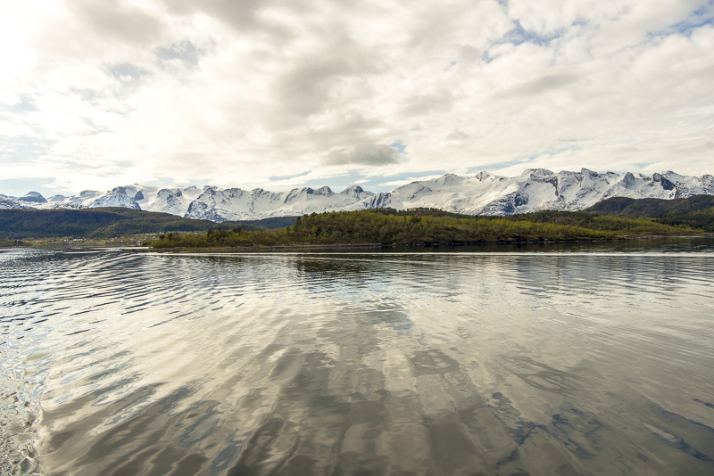
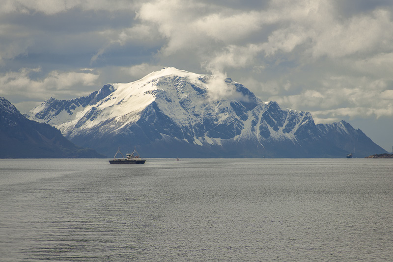
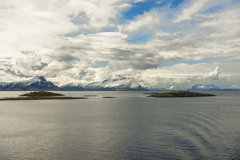
The only secure evidence i the huge plateau glacier on the horizon - the Svartisen - glacier with summit up to more than 1.500 m altitude. At the polar circle the frequent fallouts in the region are sufficient to maintain a glacier.
Svartisen glacier
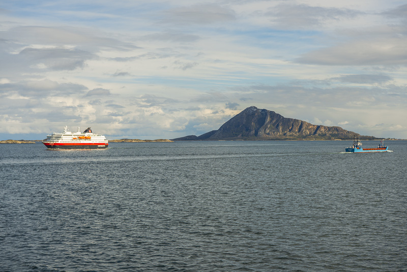
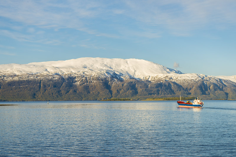
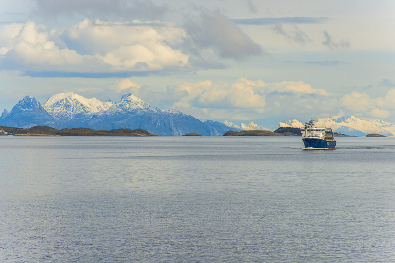
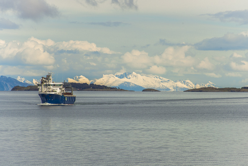
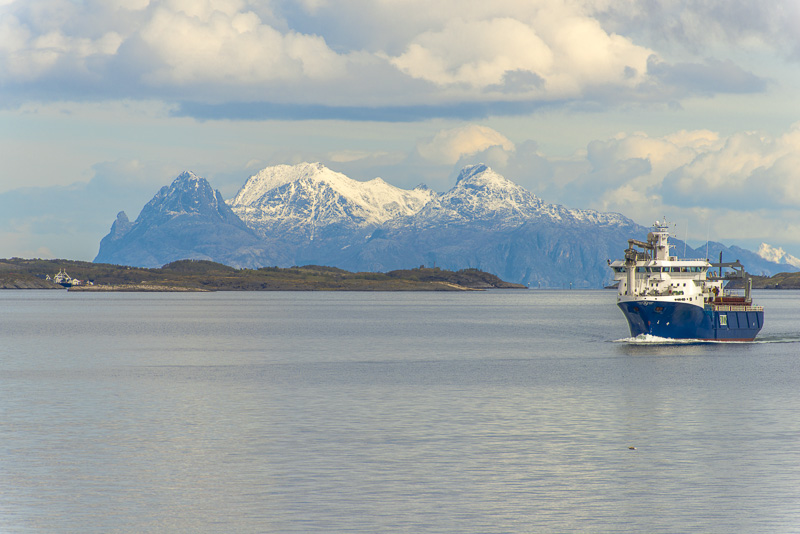
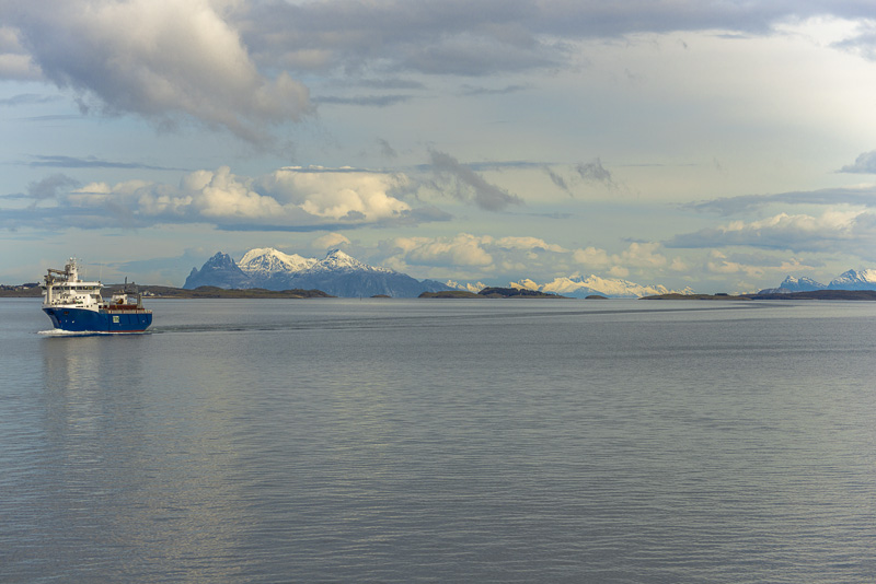
On the left side, another Hurtigruten ship (of similar construction as the Nordnorge) passes by: ...
... The MS Nordlys.
Once more Svartisen
View along deck 5. At this height, you can walk all around the ship to get free views in every direction.
Svartisen glacier. It is difficult to distinguish between the clouds and the snow.
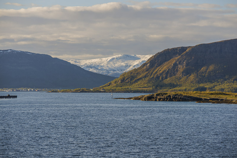
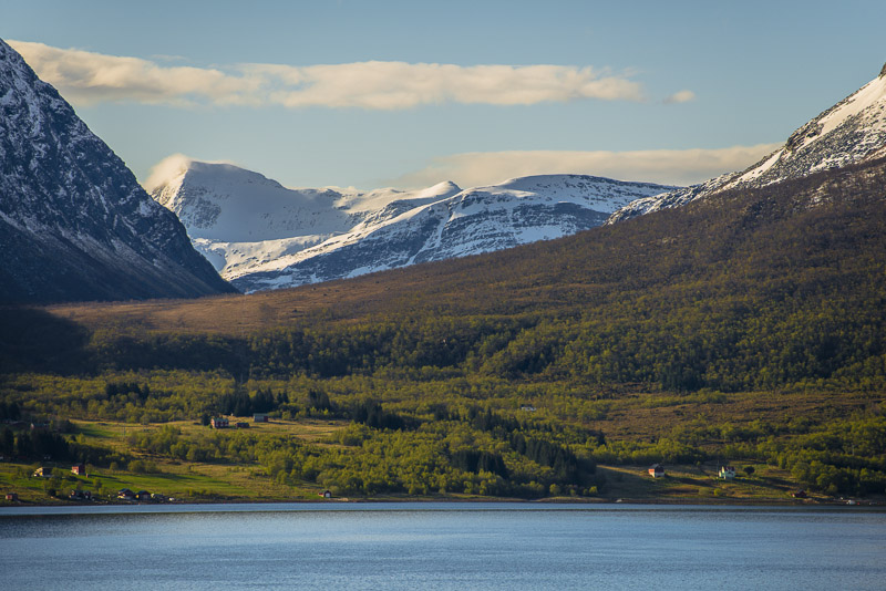
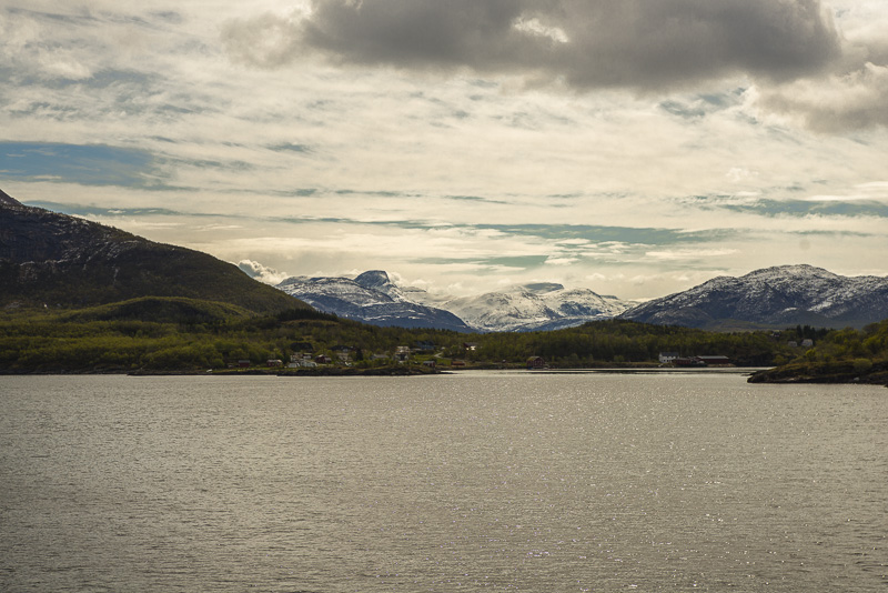
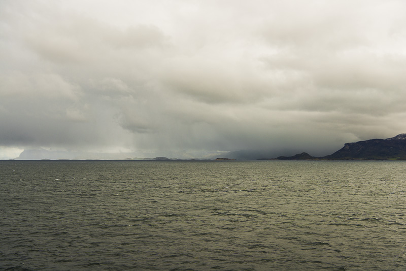
Now sailing through the Meløyfjorden and Eidet ...
... until our next stop appears afar:
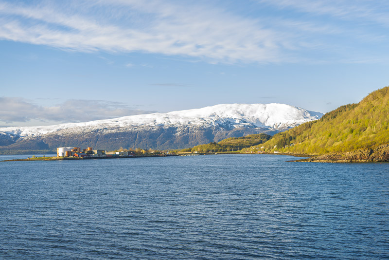
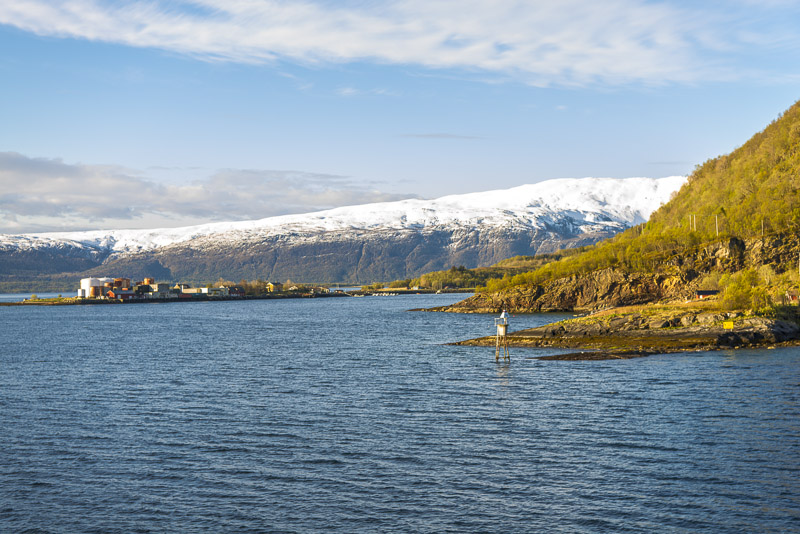
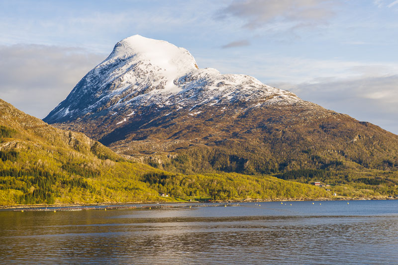
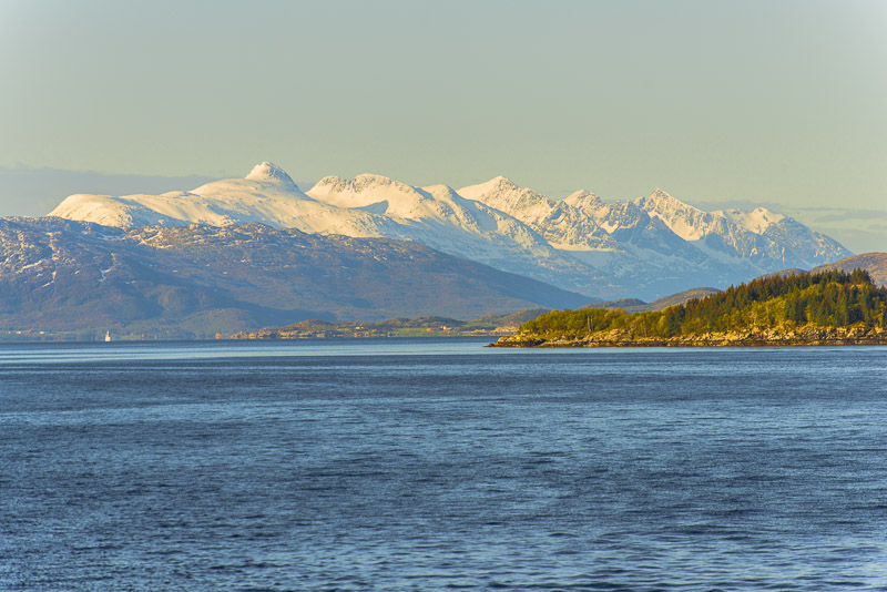
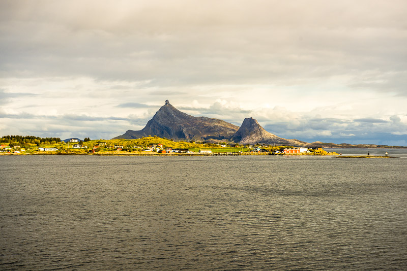
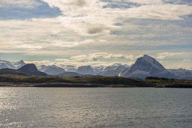
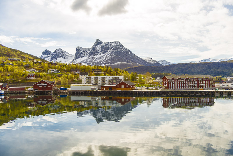
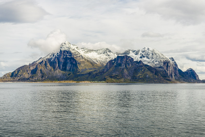
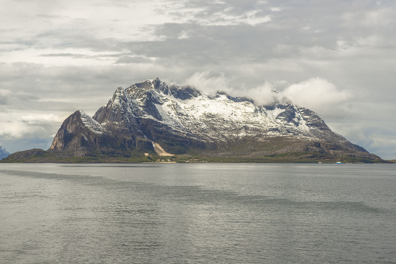
Ørnes. The mountain behind is the Blatinden (716 m)
Far left now the Spilderhesten (719 m)
Ørnes and Blatinden
Spilderhesten
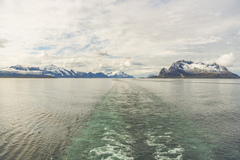
View back to the Meløy peninsula, which we surrounded just before.
Spilderhesten to the right Sætertinden (1.040 m) in the background.
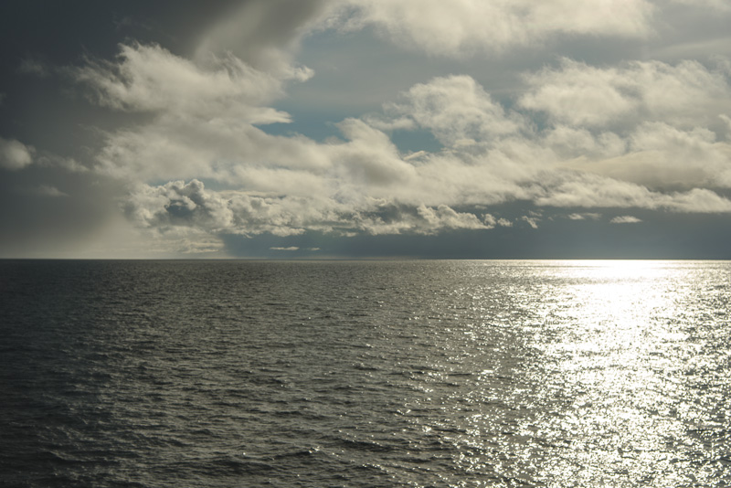
The surface of the sea is now quiet and smooth as glass.
Spilderhesten - see it here in this great Video of Åge Magnussen.
The Meløy peninsula
We sail the usual curve to be able to put on in Ørnes. Our boat always puts on at the backbord (left) side.
Impressions of Ørnes ...
Sailing again heading for the Stigsundet.
The small island of Risøya ...
... in the foreground.
Round the corner, the Skjeggen (904 m) comes into view.
A last glimpse ...
... of Spilderhesten.
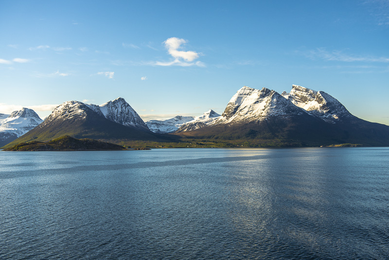
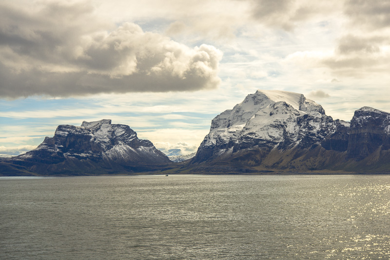
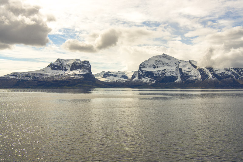
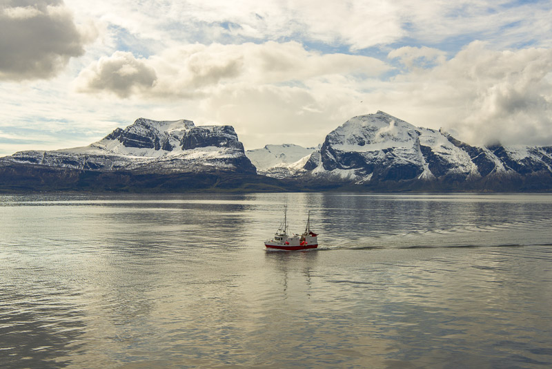
Skjeggen (904 m)
Skjeggen (904 m, left) and Breitinden (727 m, right)
View back
View to the west. Mountains even on the islands: Meløytinden (582 m) on the island of Meløy.
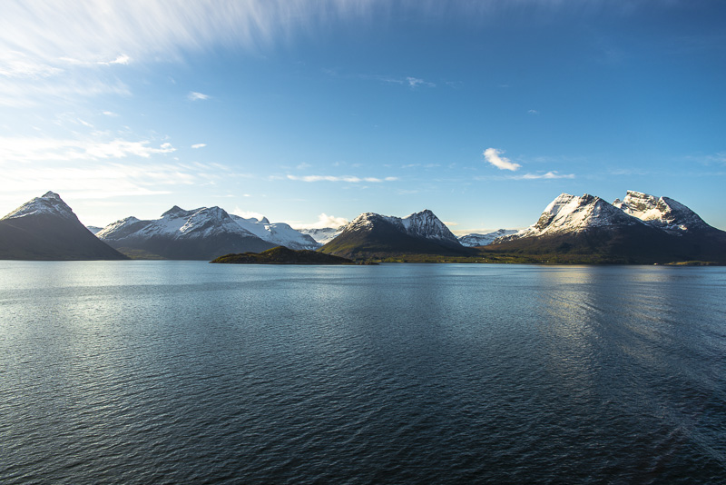
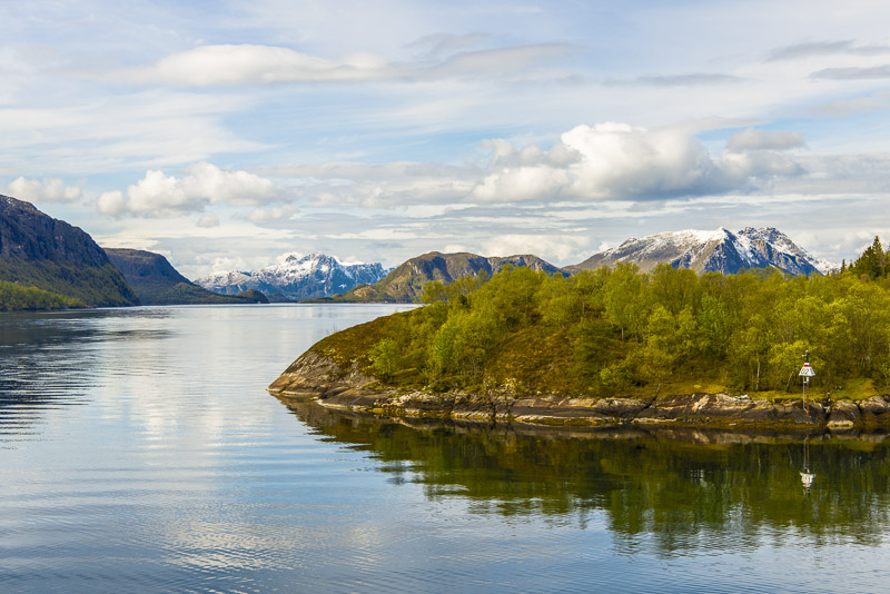
Panoramic pictue of Stottfjorden. Not easy to take from a sailing ship, and of course not possible without a few cuts. Click here or into the picture for a larger display.
We branch off to the North, surrounding the Horntinden (454 m) (this time I am rather sure regarding identification - what else should be named like this?)
Vie back ...
... and to the front.
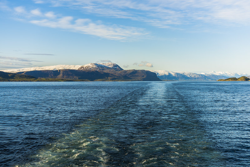
Kunna (599 m) to the left, which we have to surround. In the gap to its right on the horizon even mountains behind Bodø.
The view back goes to the mountains of more than 1.000 m height on the Meløy pensinsula.
View back to Kunna
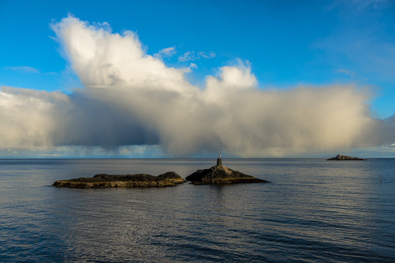
Skerries and shallows.
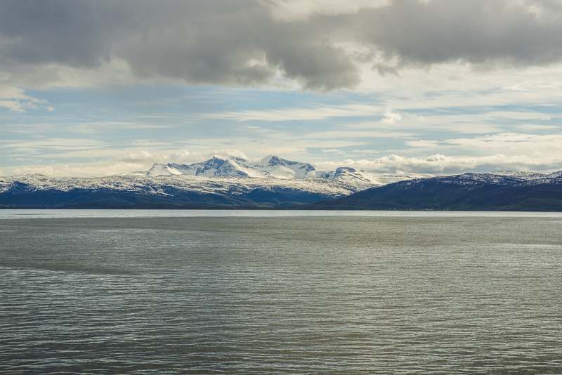
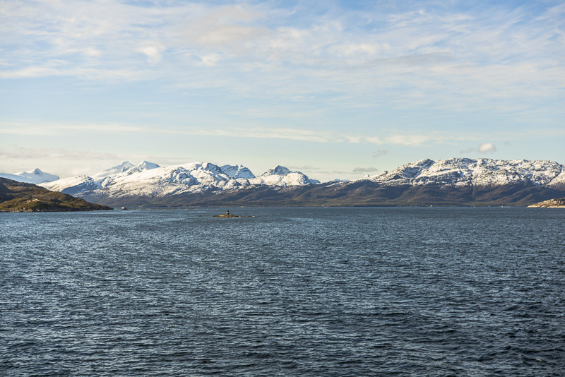
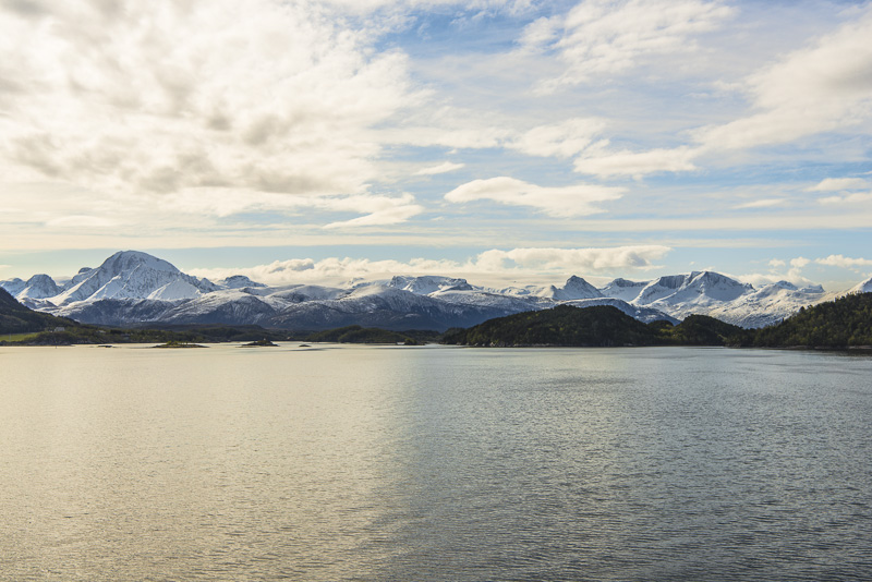
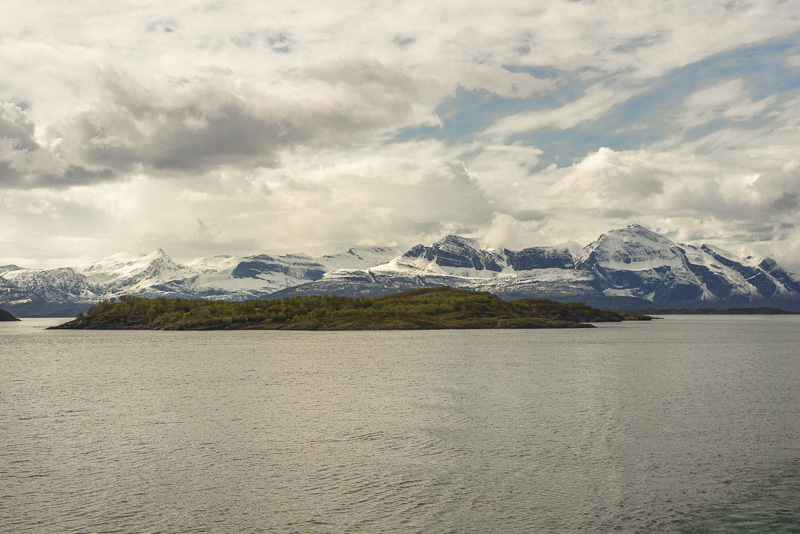
Once more glacier mountains, I suppose them to be the summits of Småtindan.
Høgnakken (1.045 m) and Høgstjerna (820 m) (I suppose).
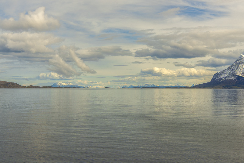
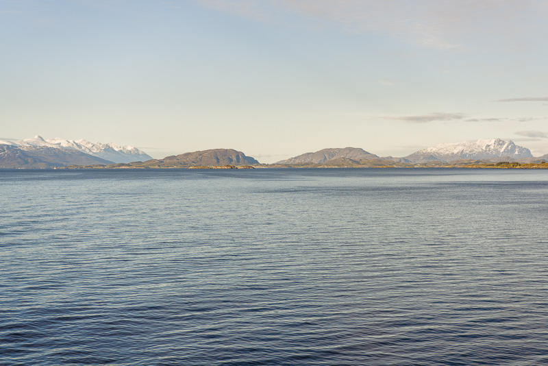
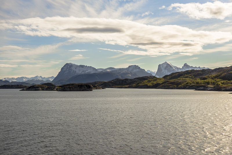
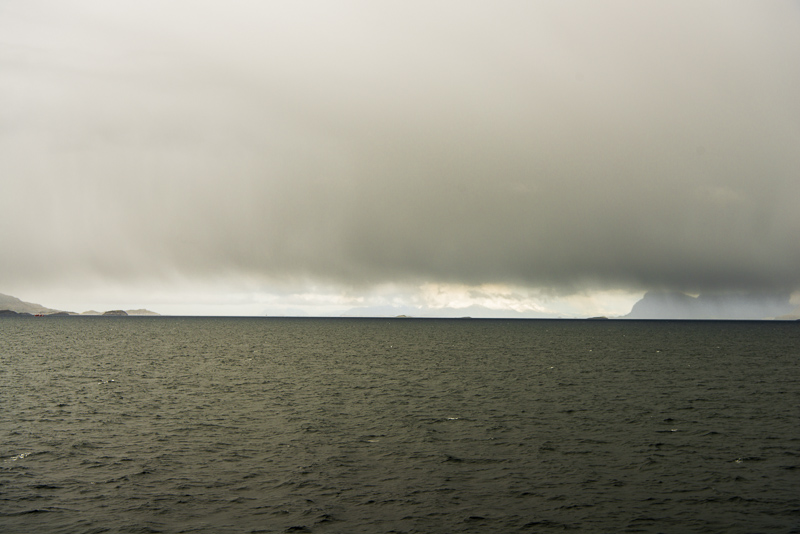
More mountains in the distance ...
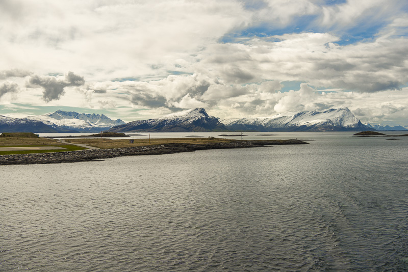
... beyond the Saltfjorden. We are heading to our next landing stage at Bodø.
High mountains beyond Bodø, I suppose them to belong to the mountains of the Sjunkhatten National park (up to 1.150 m).
View over the Saltfjorden
In close proximity (presumably) the Sandhornet (993 m).
Mountians of the island of Fugløya, up to 765 m.
Fugløya
Now crossing the Saltfjorden.
Approaching Bodø.
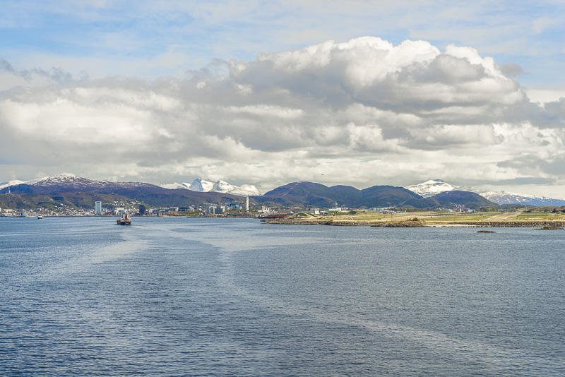
Bodø.
To the south beyond Bodø, behind the Saltfjorden, more high mountains: Fjellfjellet, Falkflogfjellet and the summits of Børvasstindan (I suppose).
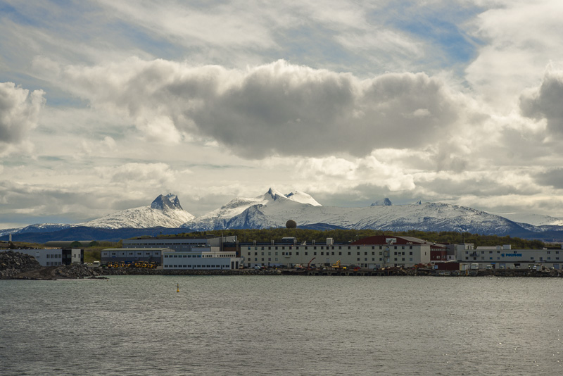
Bodø with its unique mountain scenery.
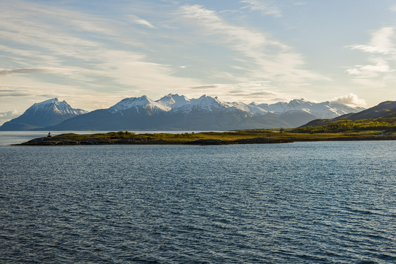
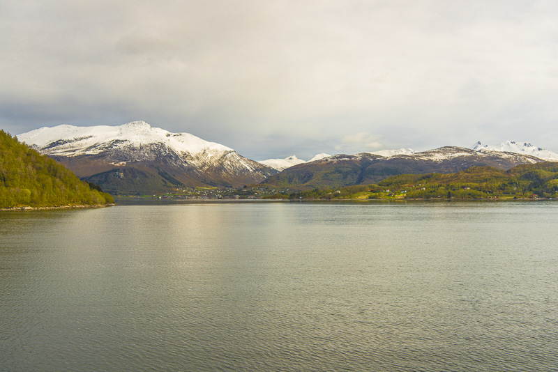
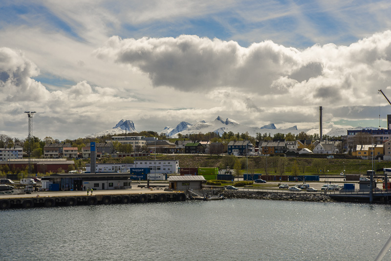
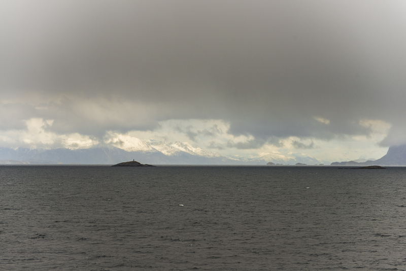
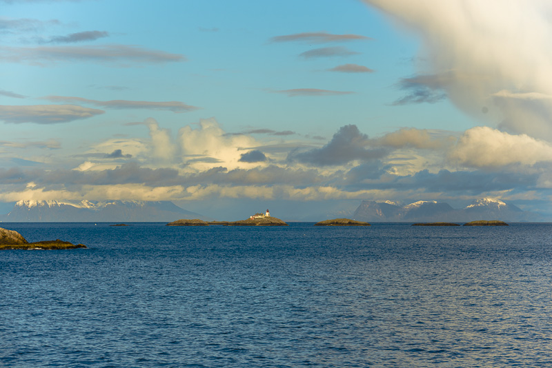
View to the North, through a gap which we shall sail afterwards, to the snow covered mountains of the Lofot islands, referring to a visibility of 120 km.
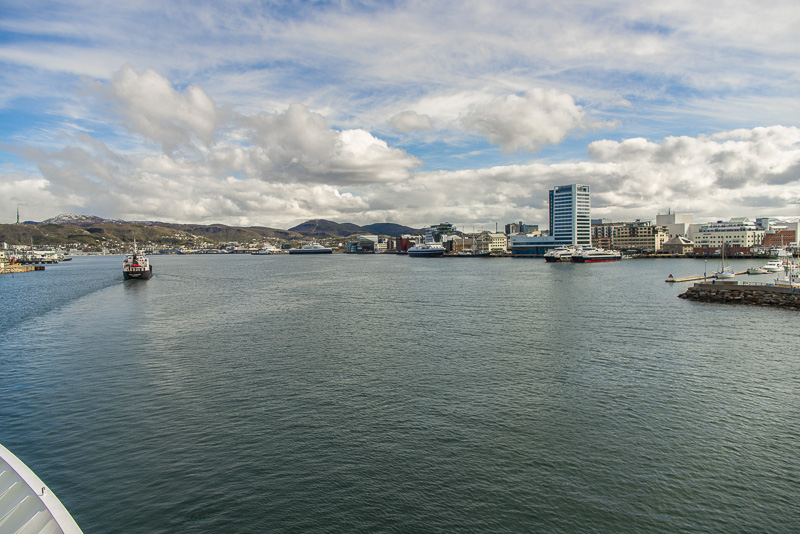
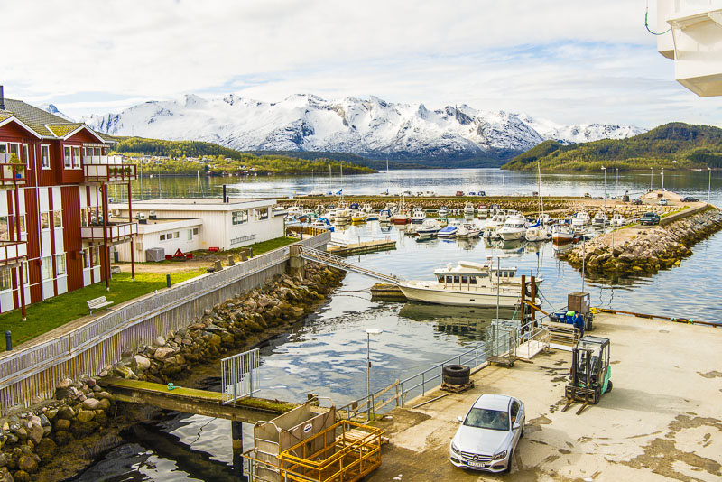
Bodø - an industrial town and seaport.
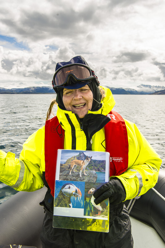
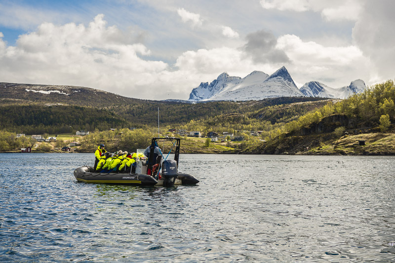
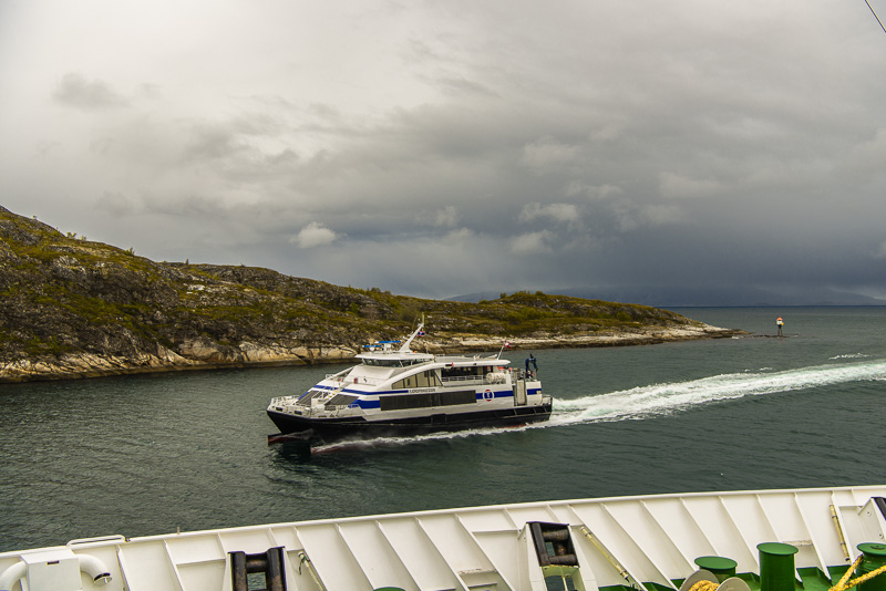
I now enter a RIB - boat, that will bring us to the Saltstraumen. A wild ride over the waves, with a speed of up to 60 km/h.
Saltstraumen isthe strongest tidal current of the world. A huge fjord beyond has its tidal outflow into this very narrow sound, leading to massive tidal currents.
Regrettably, we arrive near the maximum of the high tide, so we nearly see no current.
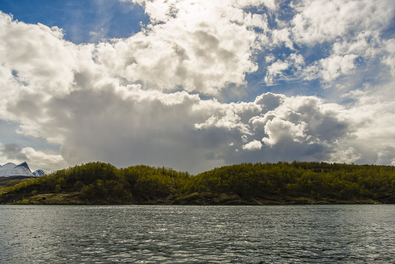
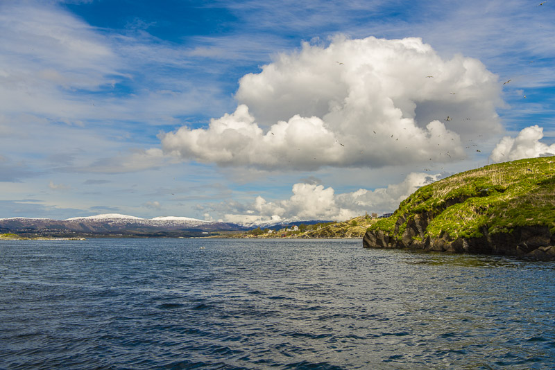
But the landscape is beautiful anyway.
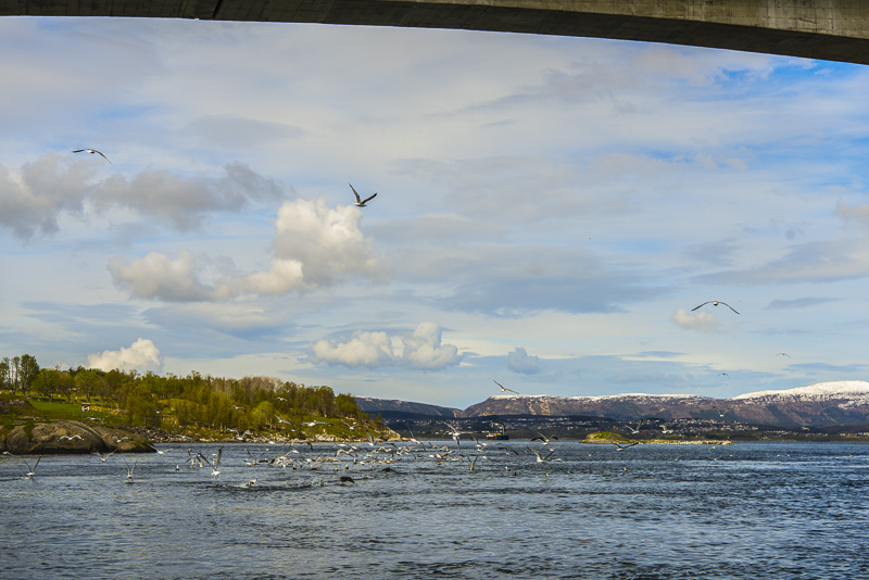
This area is rich in fish, so there are always many birds.
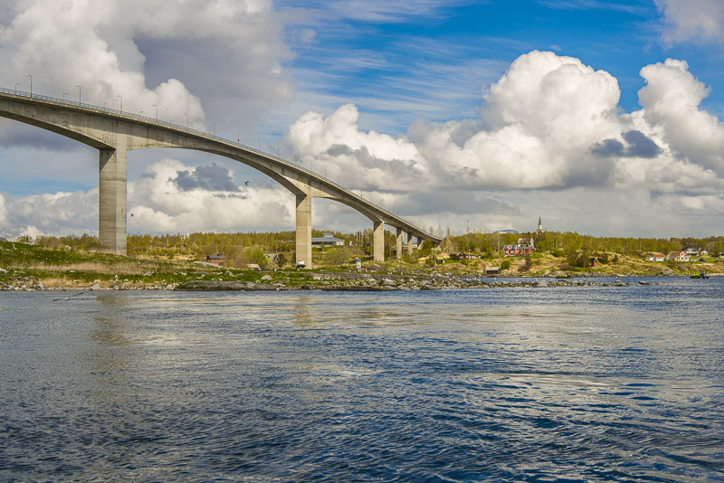
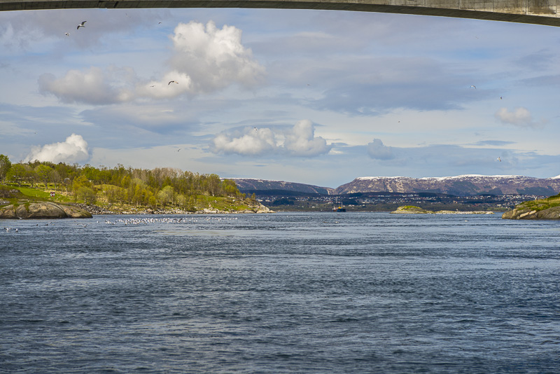
A bridge connects the main land and the island of Godøya, respectively, with the island of Straumøya.
View to the North over the Saltfjorden.
A second bridge connecting Straumøya with the mainland..
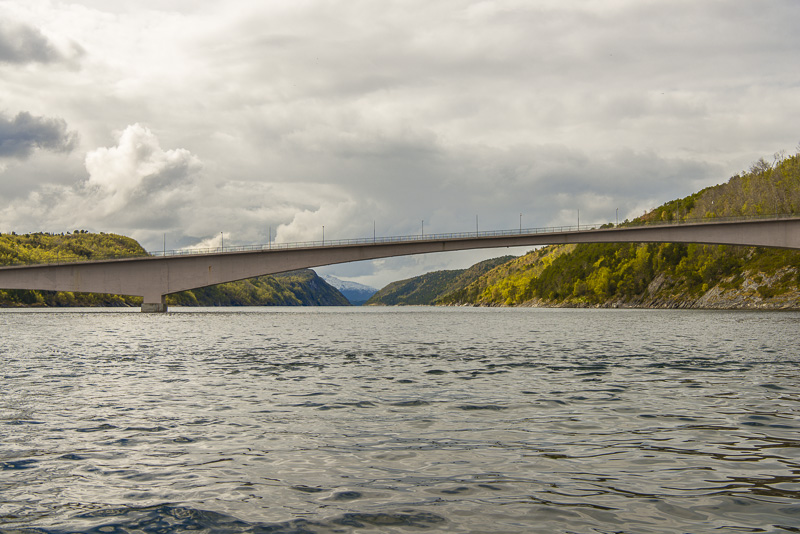
We now sail Indresundan and Yttresundan between Straumøya and the mainland.
 +
+
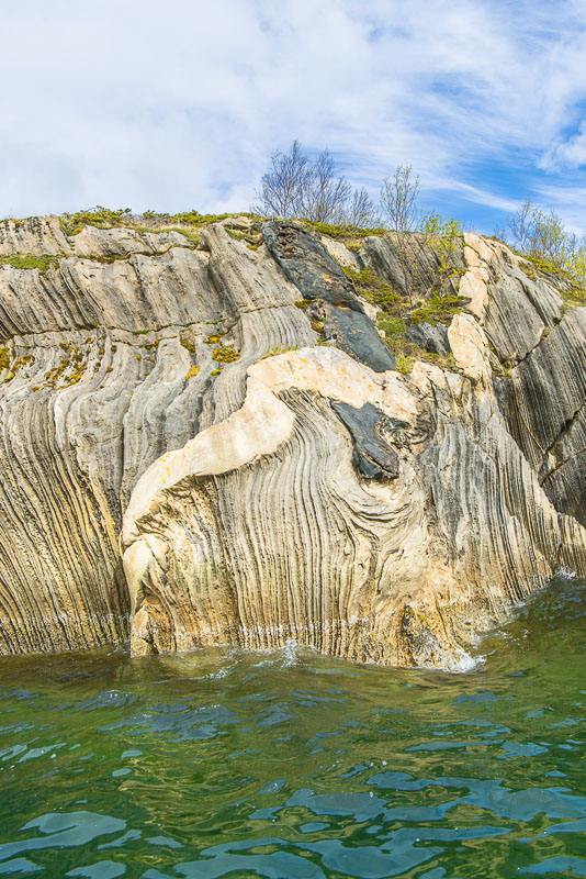
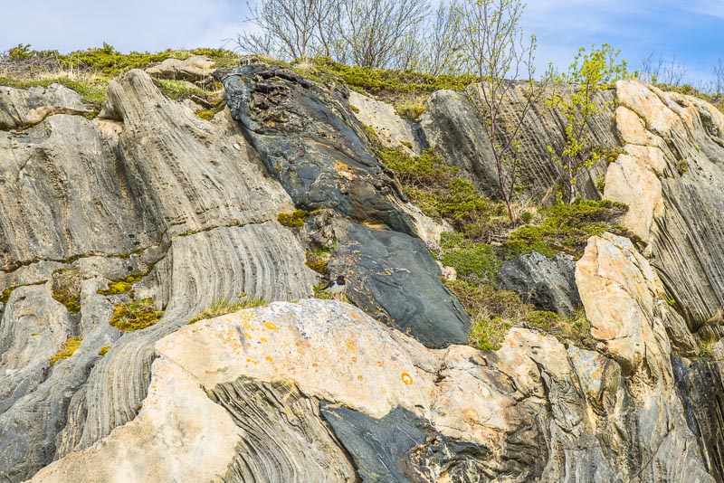
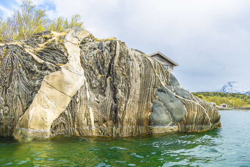
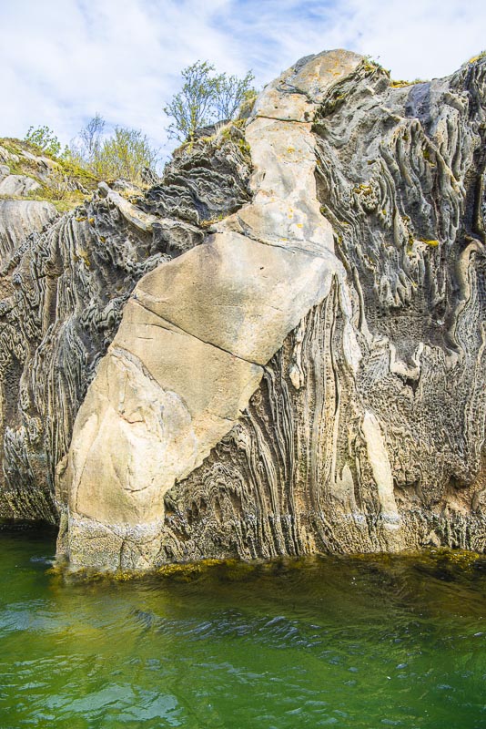
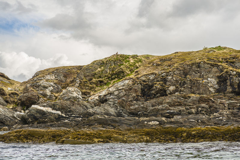
Interesting rock formations - spot the puffin?
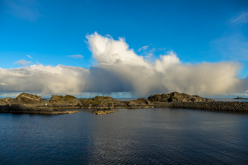
A few more clouds now drawing in.
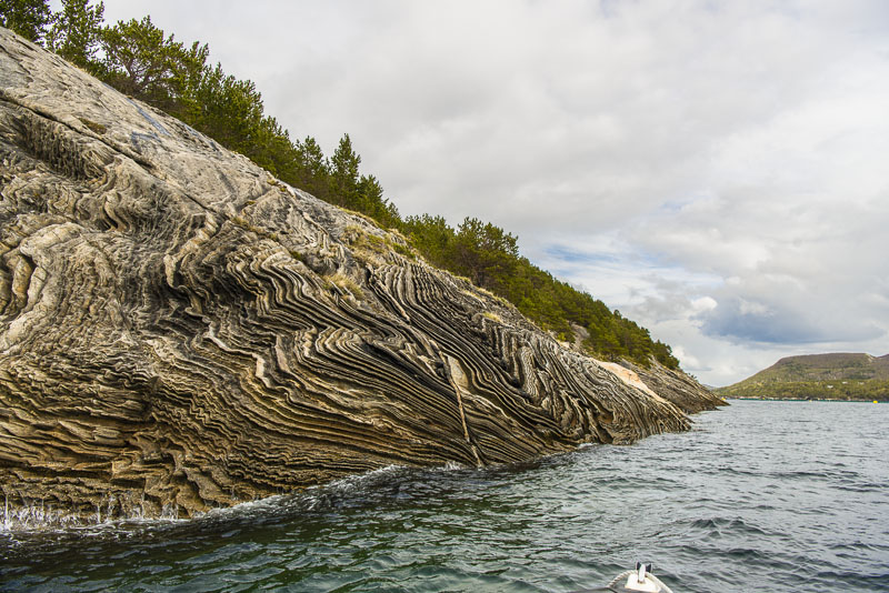
Rock fined down by the glacier exposing its stratification.
Back after a rough ride crossing the Saltfjorden, shortly before Bodø, in the entry lane of Bodø airport, we are showed:
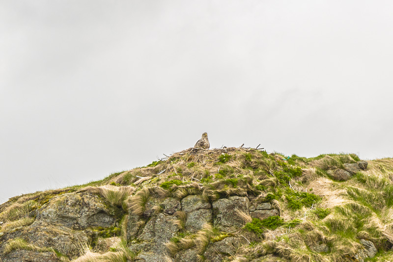
A sea eagle in its nest.
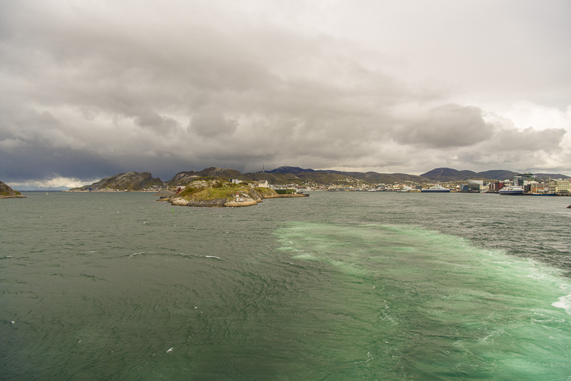
Back to the harbour of Bodø.
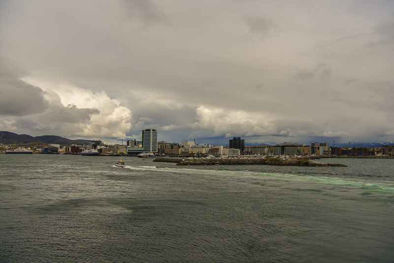
Back on the big boat, and around the tiny languet of Nyholmen, our ship performs a 180 degree turnaround a d passes the extremely narrow Nyholmsundet.
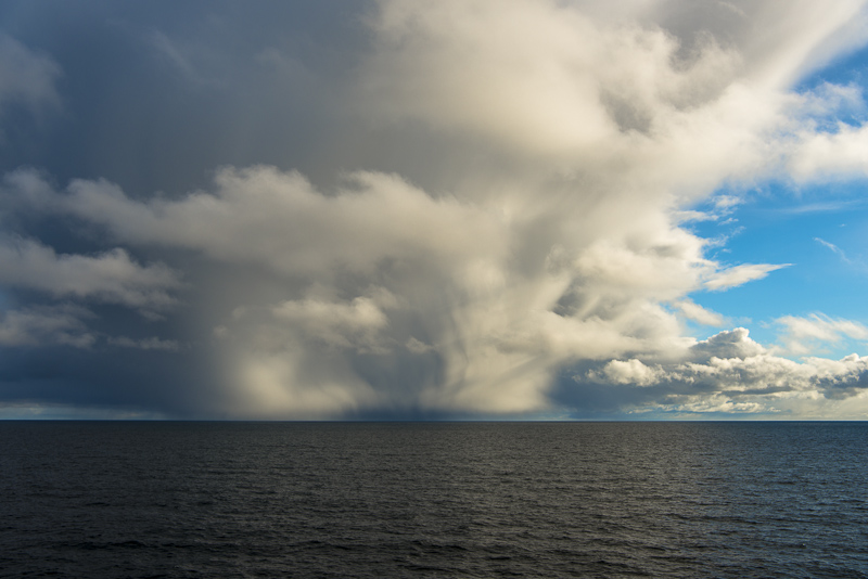
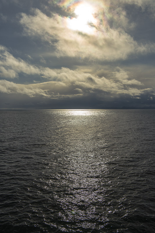
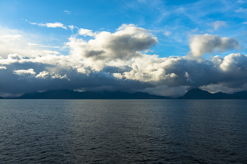
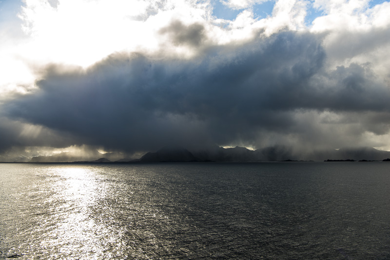
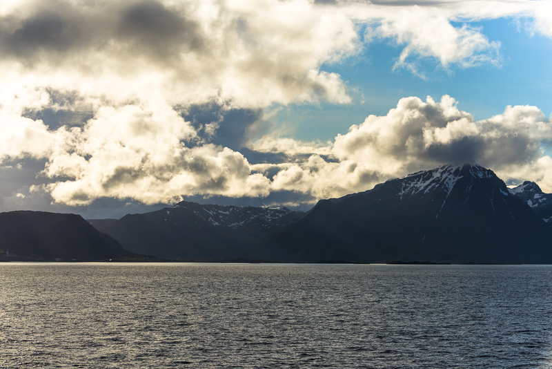
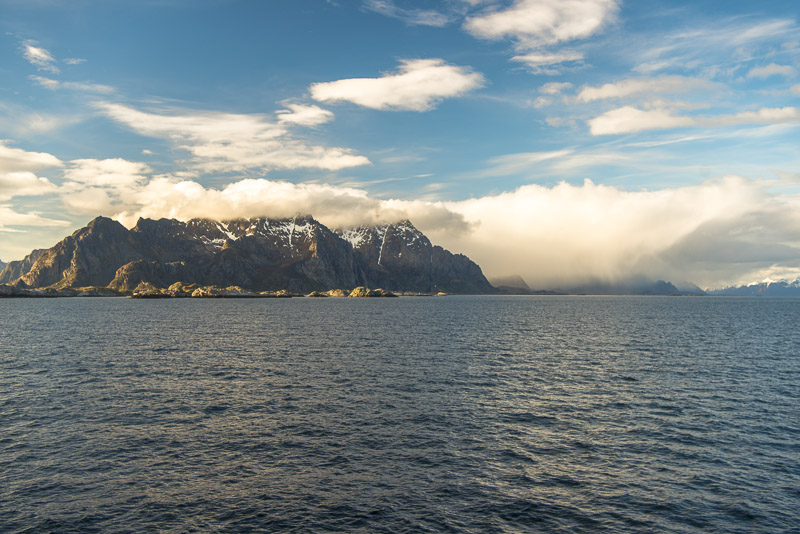
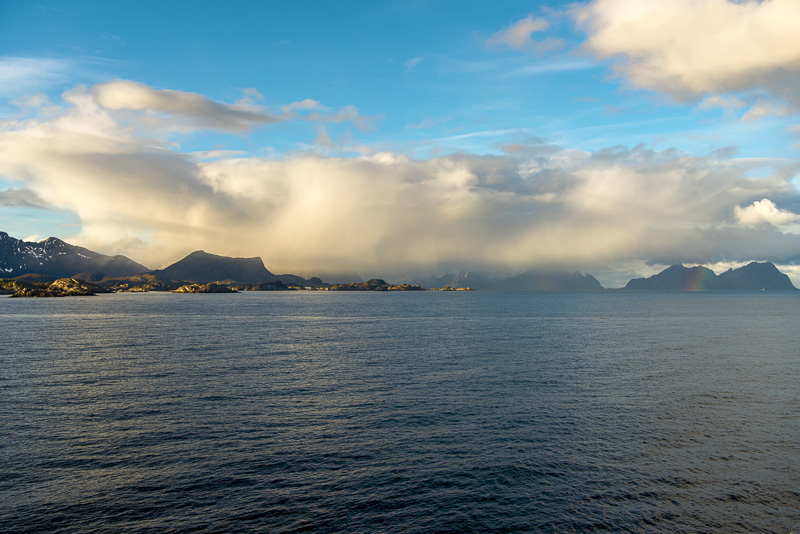
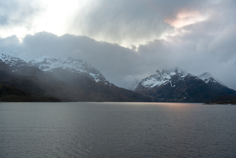
The weather is tuning to the worse, now awaiting a 100 km 4 hours passage to the Lofot islands.

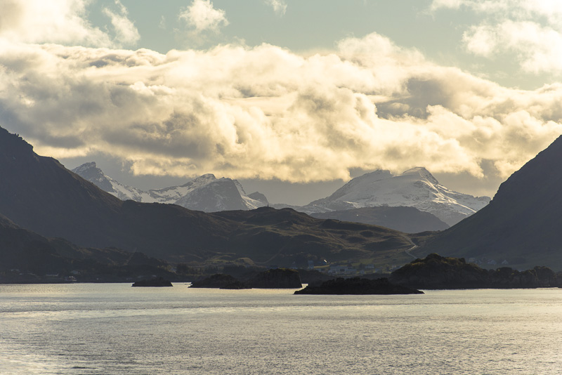
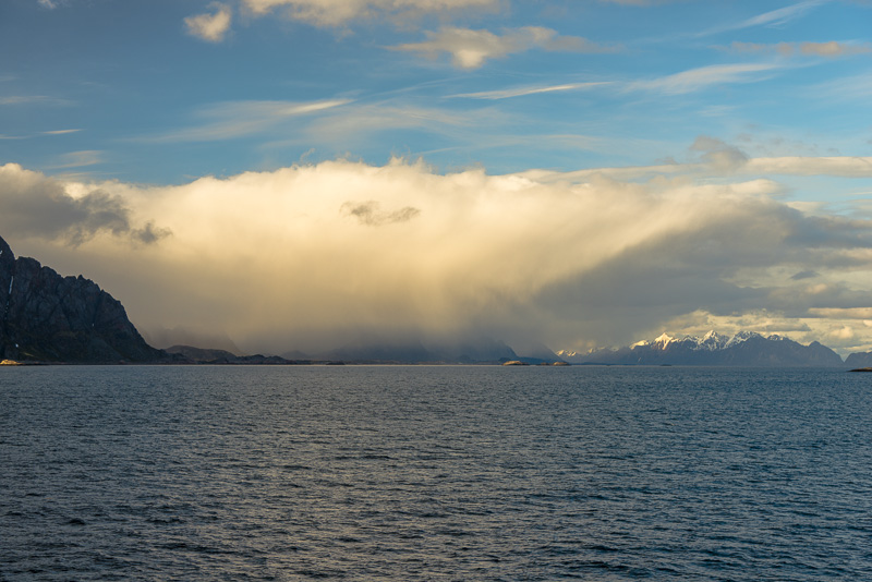
What looks like a rain shower turns out to be "only" deep clouds with a slight drizzle.
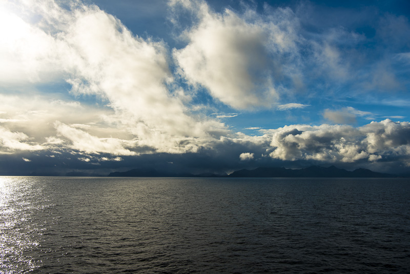
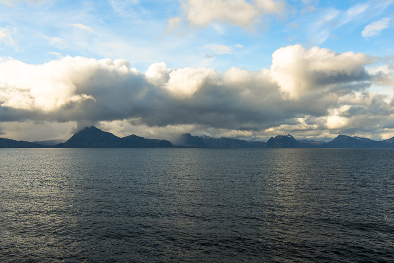
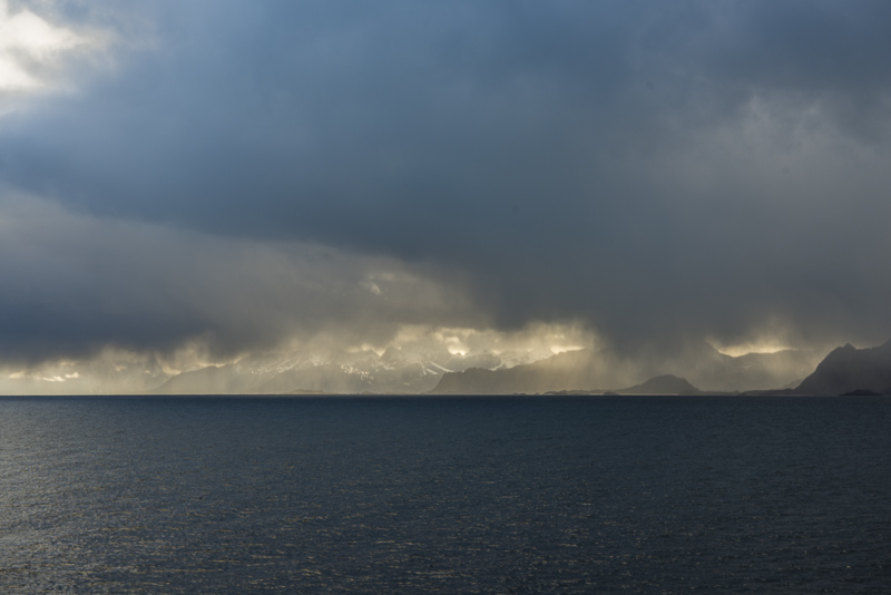
A bit lighter in between, so we can see ...
...the snow covered mountains ...
...of the Lofot islands. I now draw back to our cabin for a short afternoon sleep. After all, I´ve spent most of the day outside till now.
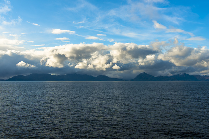
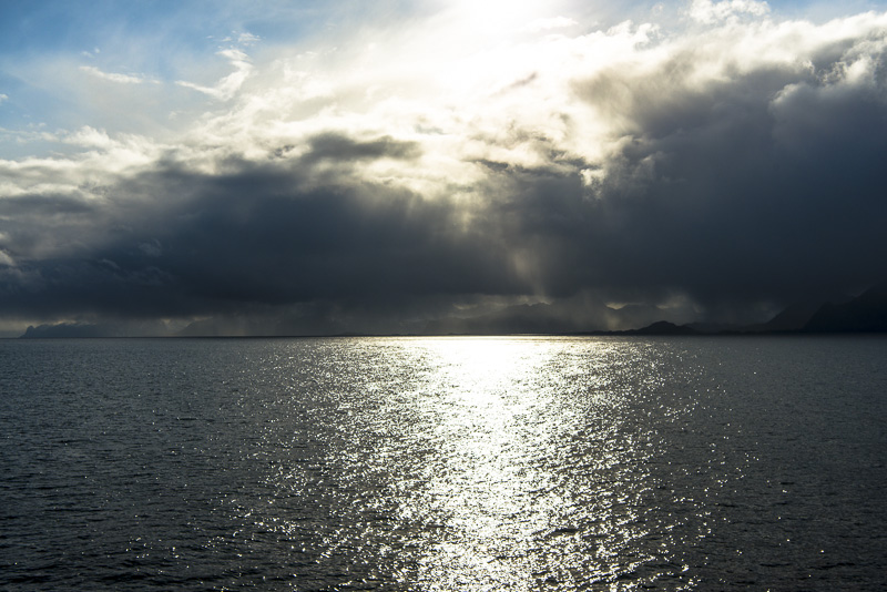
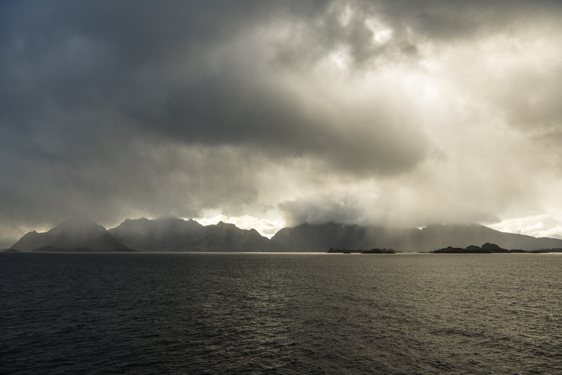
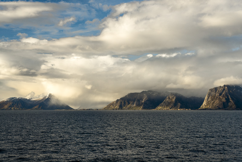
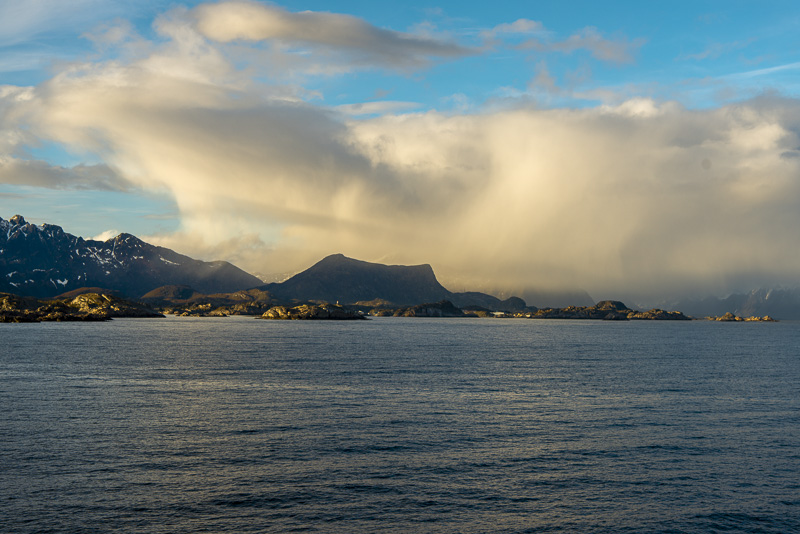
Afterwards, everything os different.
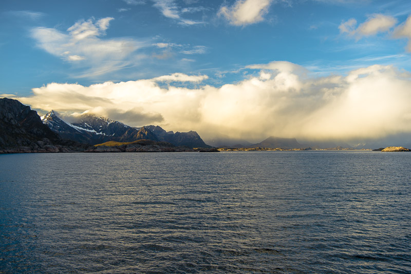
The clouds are behind us, ...
... but more clouds in front.
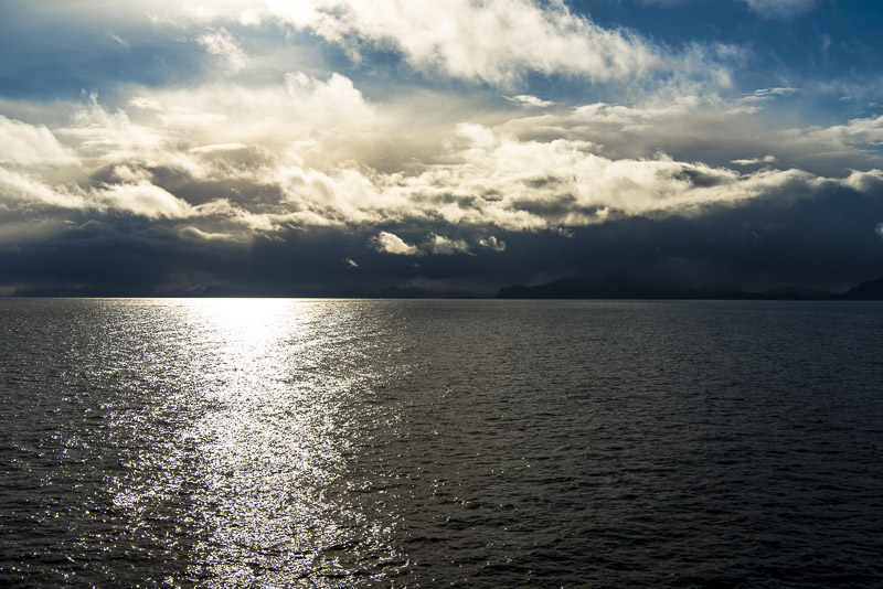
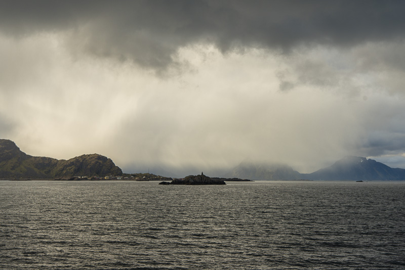
View back.
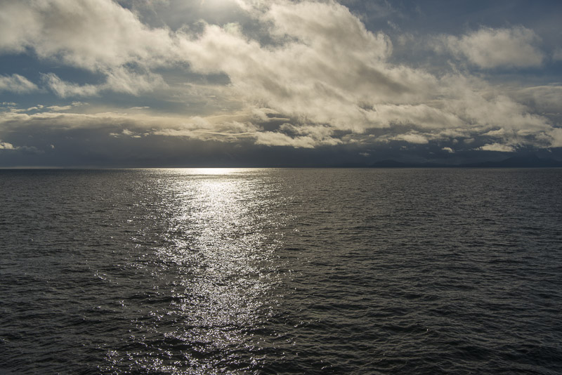
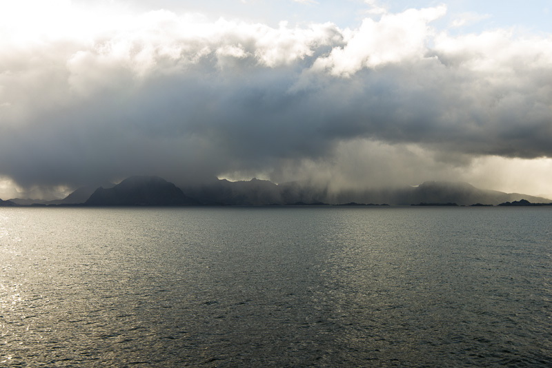
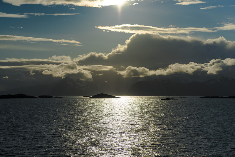
Behind the mirroring of the sun the Lofot islands ...
...are adumbrating.
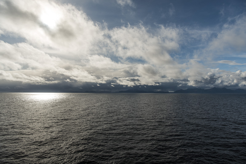
Approaching..
Clouds or rain? I do´t know any longer.
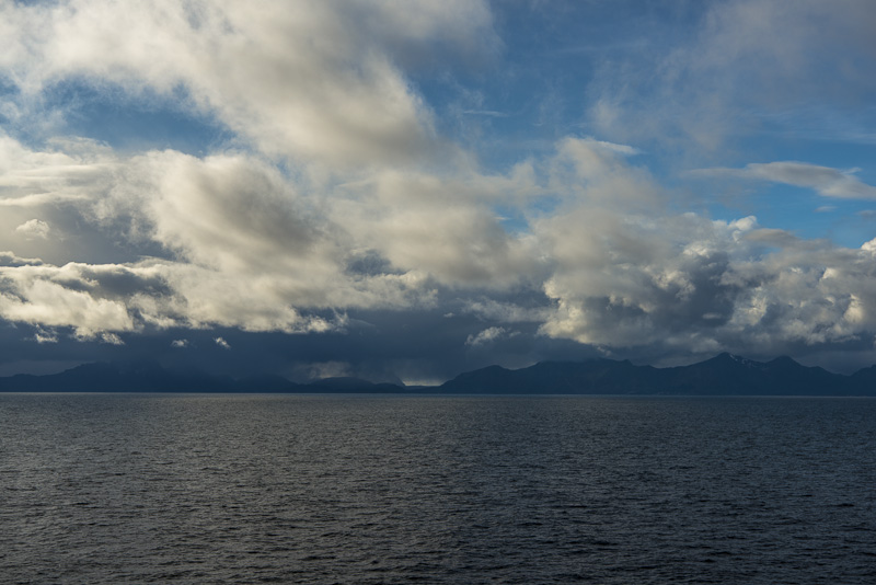
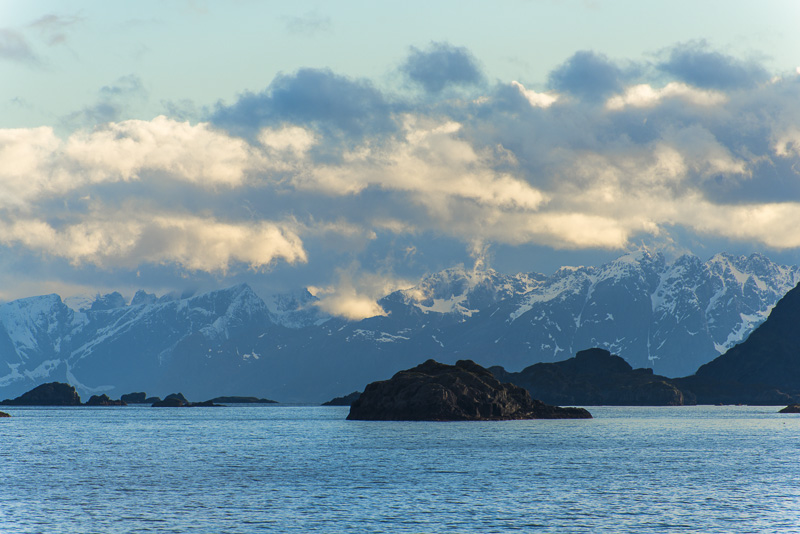
We are approaching Stamsund.
Black rocks inside the sea - the Lofot islands.
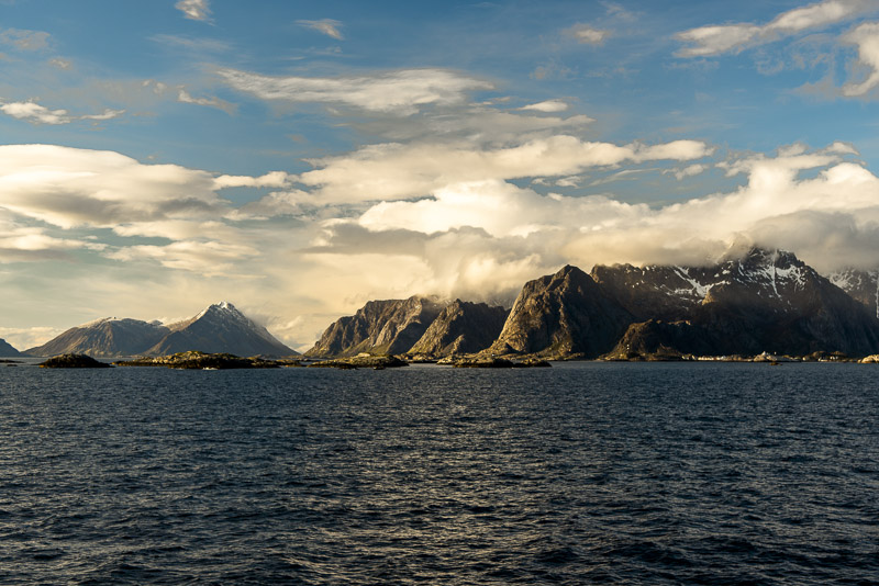
Skerries near the coast ...
The view back is much more friendly.
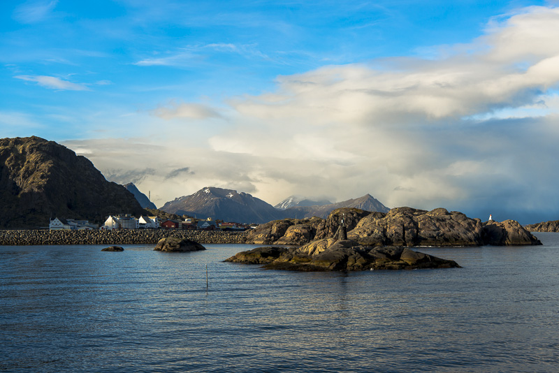
In short we shall put on at Stamsund.
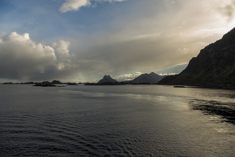
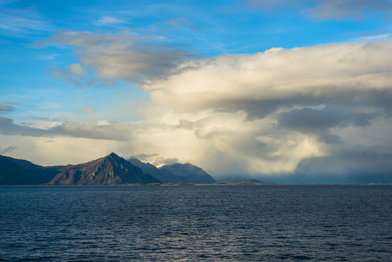
Sailng on after half an hour. Only tiny fishing villages here.
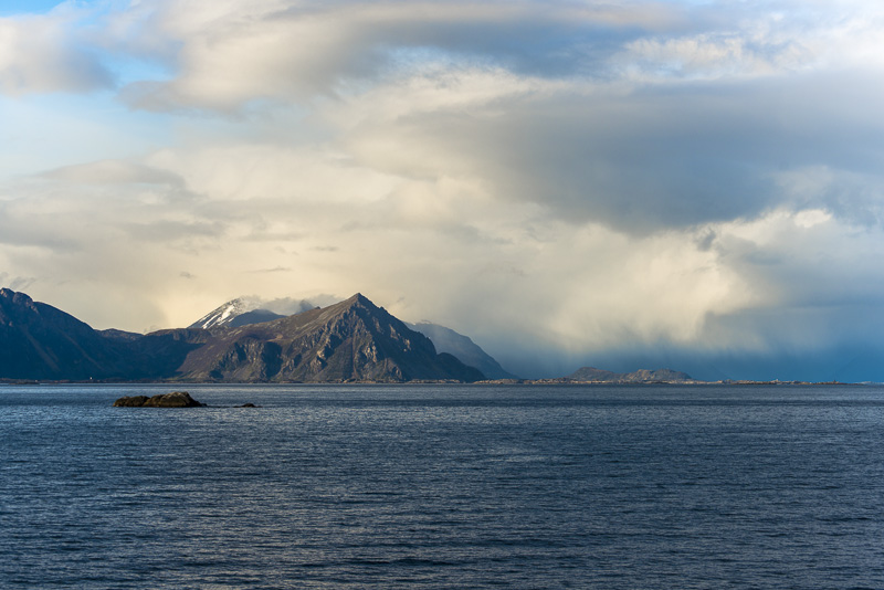
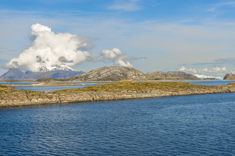
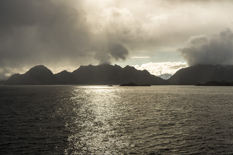
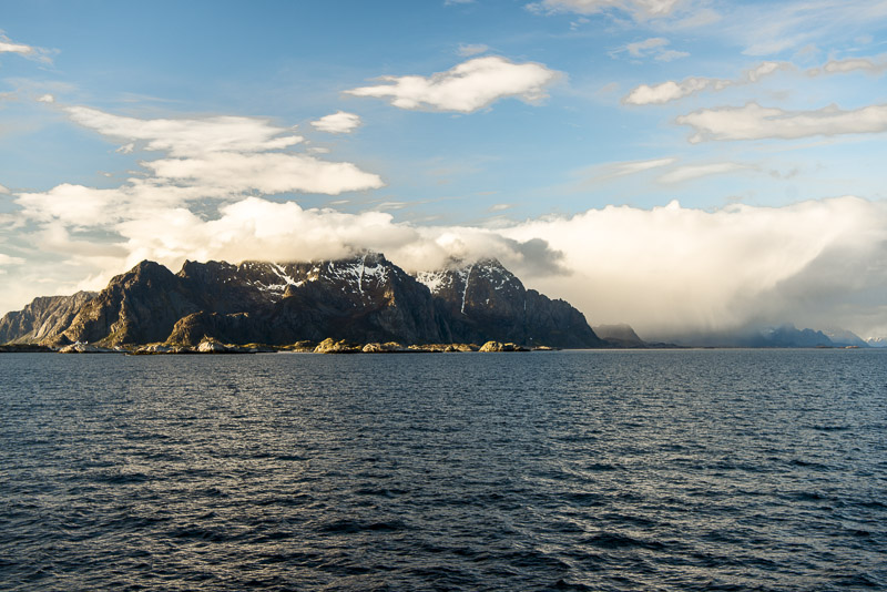
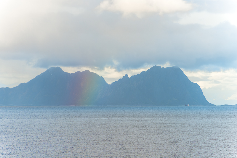
A bit dull around Svolvær ...
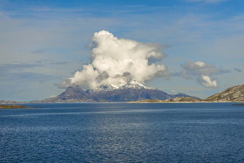
The high mountains seem to catch the clouds coming in from the Atlantic.
Behind, there is a bit more sunsine.
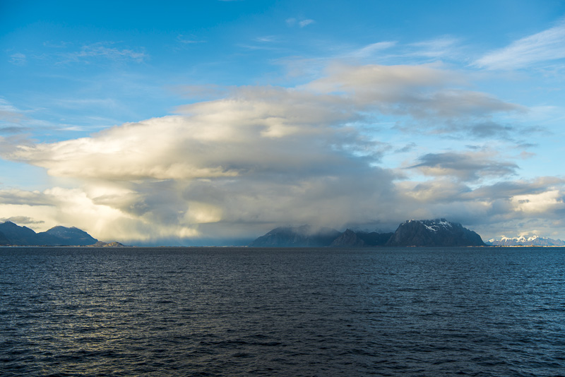
But clouds are moving too.
"Sunny spell" in the direction of the Vesterålen.
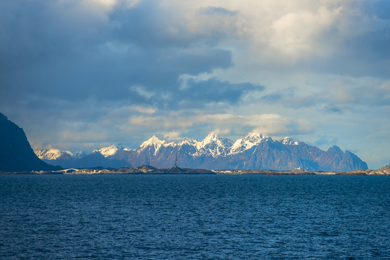
Svårttinden (696 m) tp the left (behidn the cove), to the right the mountains around the Vågakallen (943 m)

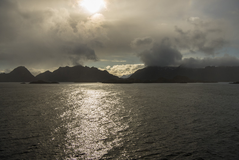
Changing clouds.
Clouds on the Vågakallen.
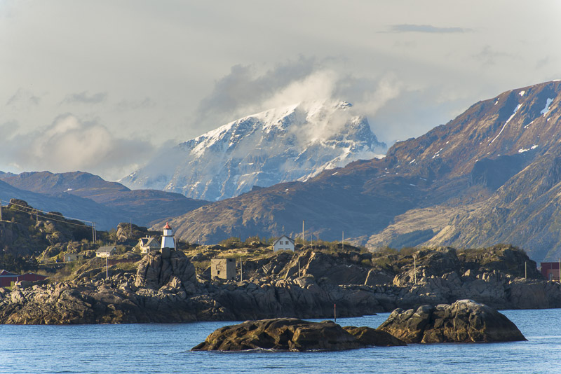
View back to Stamsund, in the backlight of the deep sun.
Clouds in front ...
But Svolvær seems to be free.
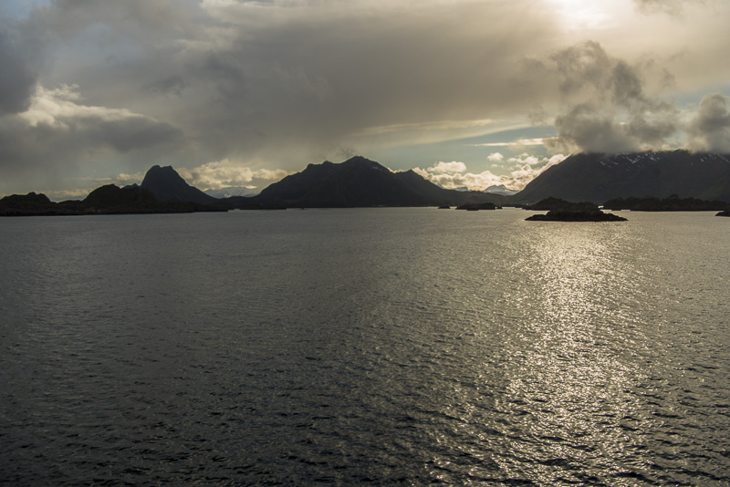
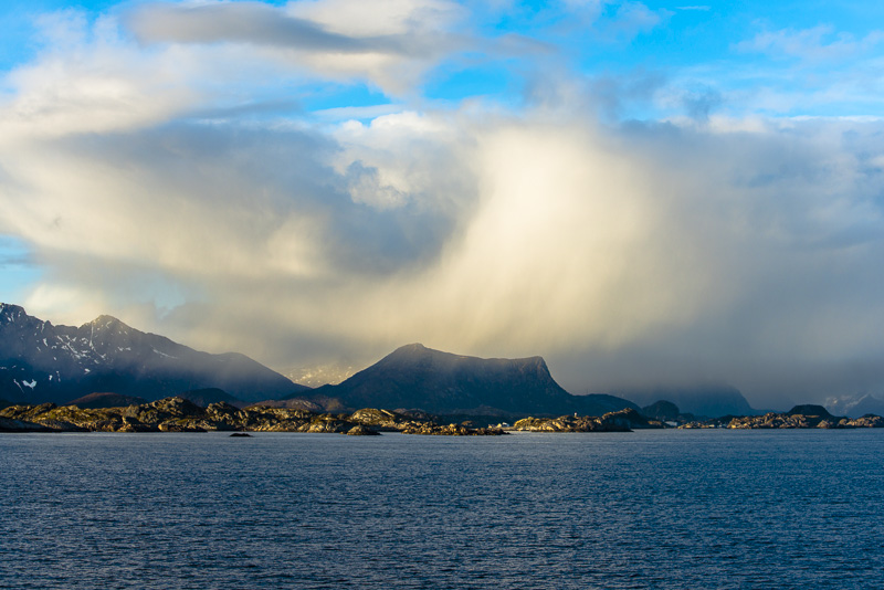
To the mainland, still huge clouds, now beautifully illuminated by the evening sun.
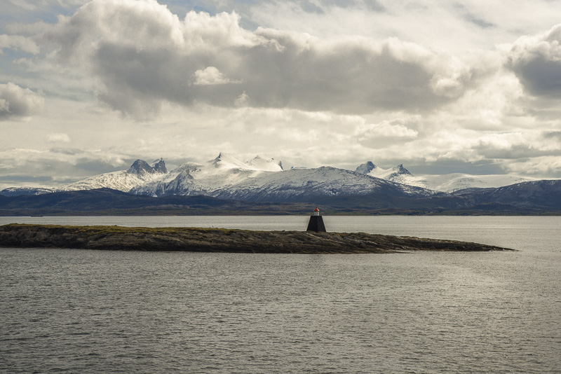
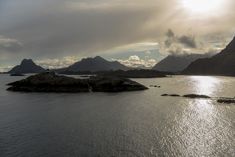
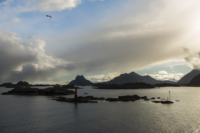
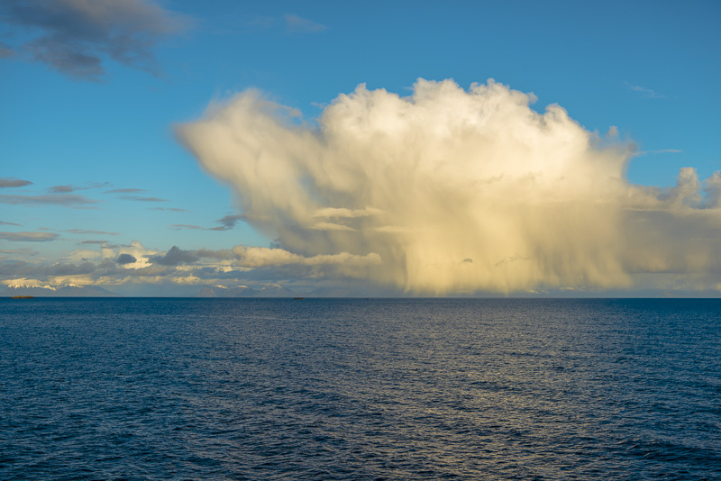
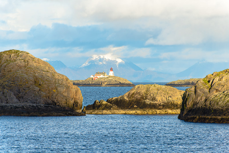
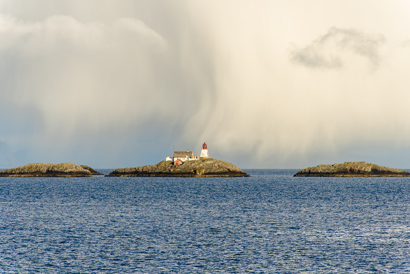
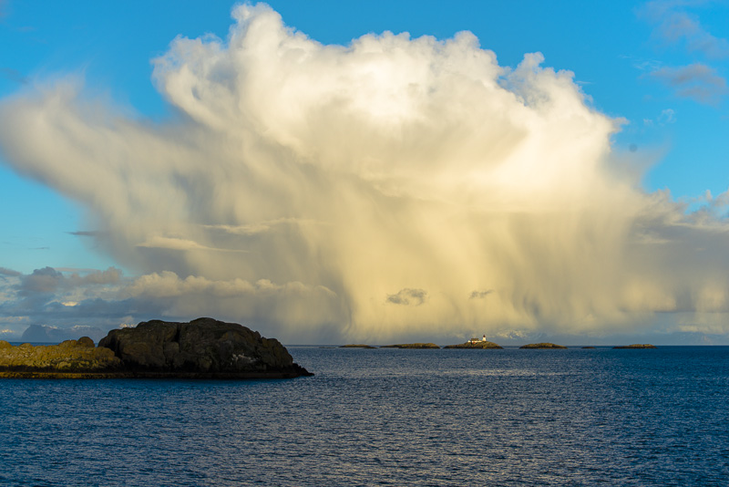
Moholmen lighthouse.
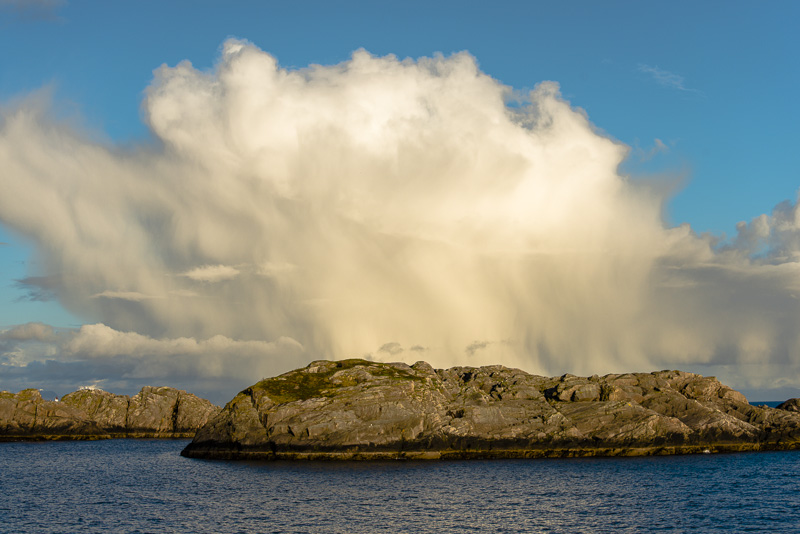
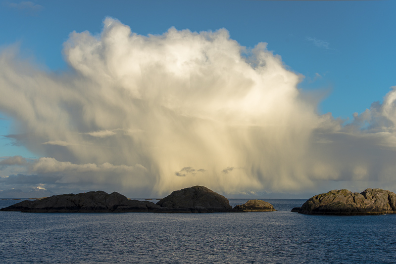
Fascinating cloud, indeed.
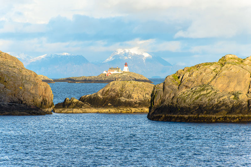
Glimpses to the Moholmen lighthouse.
You only get a few seconds for exposures like this ...
A bit of rain at least ...
e are approaching Svolvær.
Our arrival time at Svolvær coincides with our dinner time (too less space, so there are two sessions).
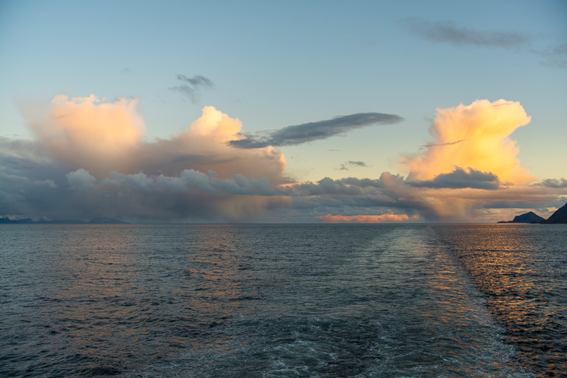
After departure from Svolvær, the light has faded a lot, but the clouds still are illuminated.
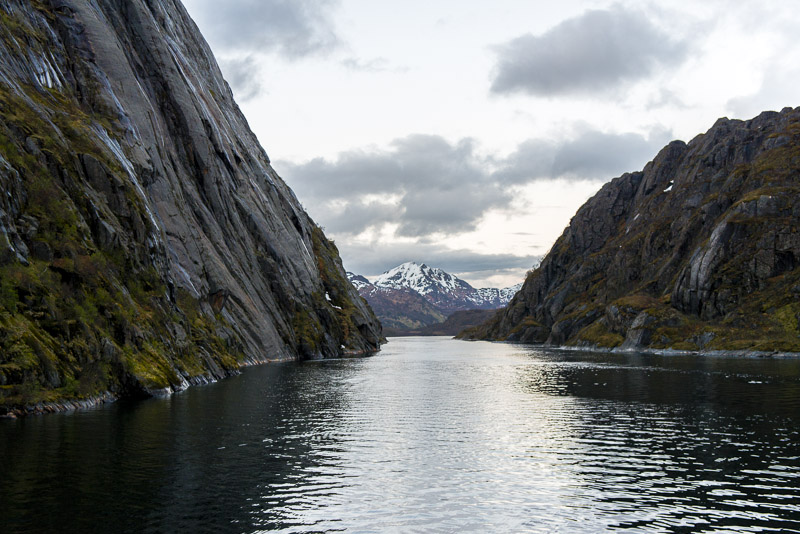
We have circled the island of Stormolla and entered the Raftsundet, a narrow sound between the Lofot islands and the Vesterålen islands.
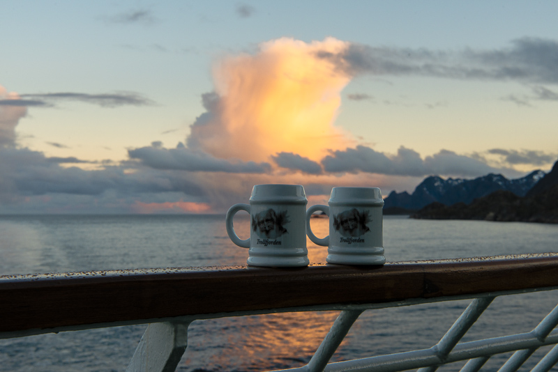
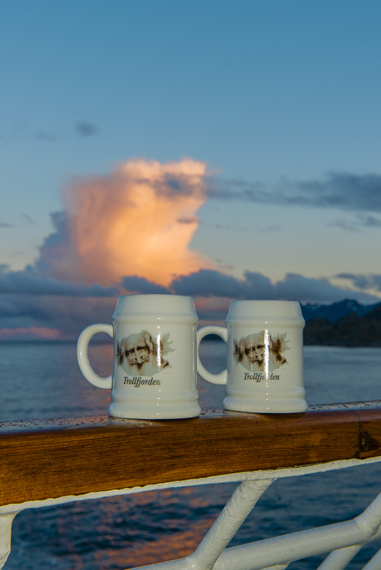
We are going to sail into the extremely narrow Trollfjorden, and on deck a punch is served - the cups are for free.
Evening scenery in the Raft sound, ...
... and soon we shall ...
...
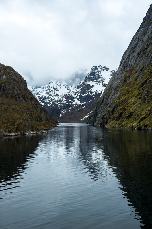
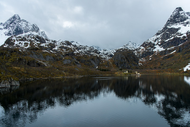
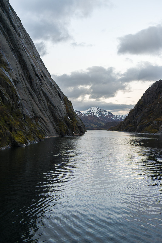
... enter the Trollfjorden.
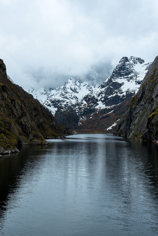
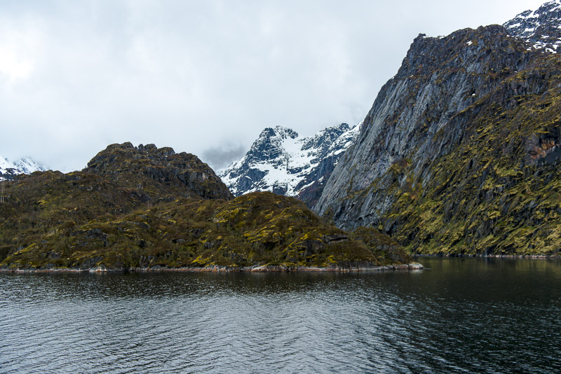
This narrow fjord is however at least 30 m deep, it is embedded between hugh rock walls.
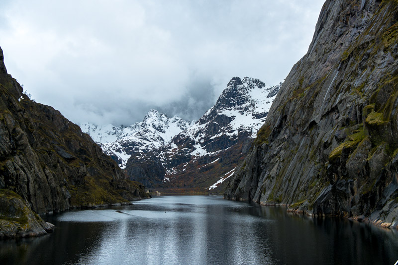
To the left (south), the steep escarpents are 200m high, to the right (northern) near 500 m During winter, the ship cannot sail the fjord due to danger of avalanches.
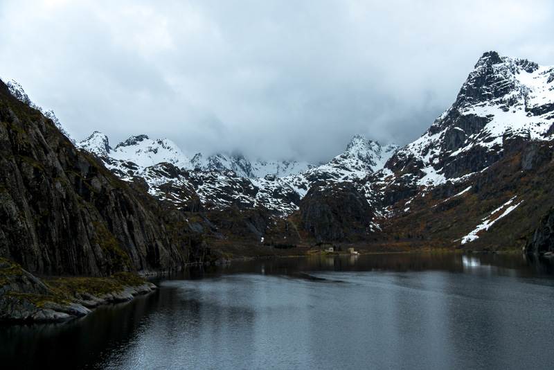
Mountains up to 830 m at the end (Trollfjordtindan)
View back
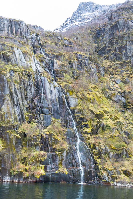
From the side, cascades are falling down to the sea.
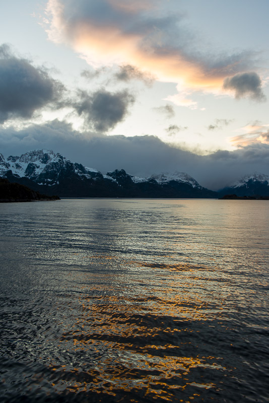
Great journey today, but cold.
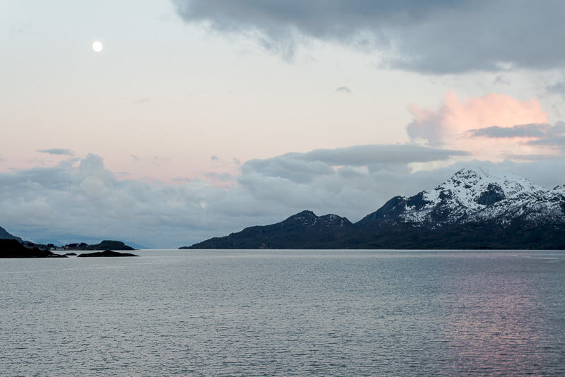
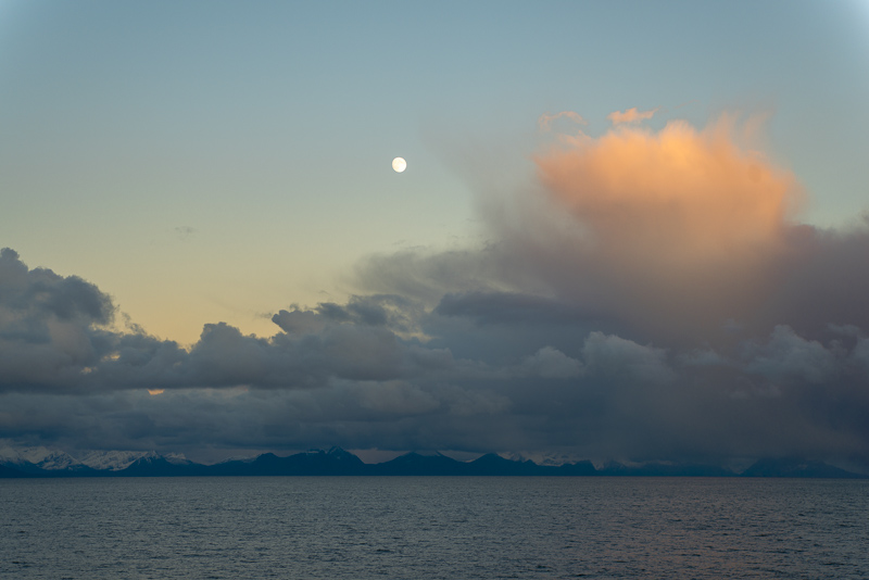
Full moon over the Raft sound, it is now 11:55 p.m., we have seen enough today.