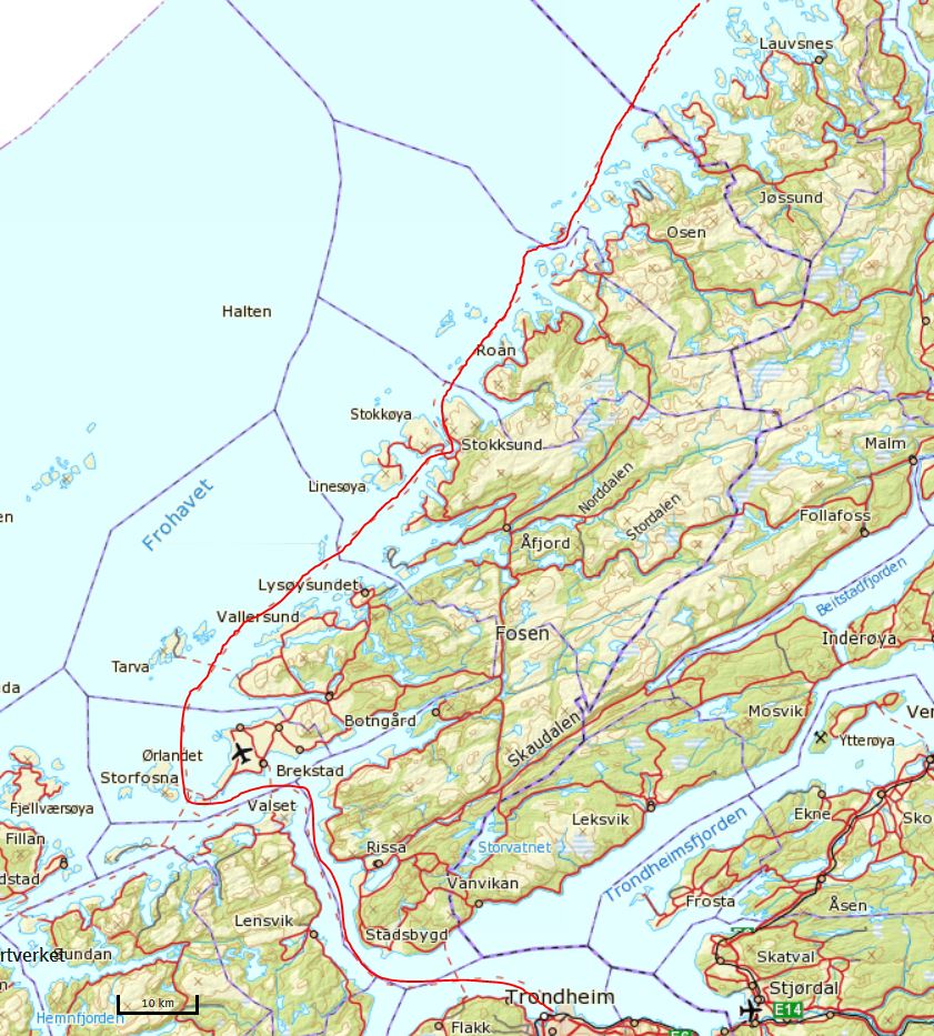
18.5.2016: Trondheim - Rørvik
Our ship has arrived at 6 a.m. in Trondheim and will stay till 12 a.m. No stress therefore, after a lazy breakfast, we set off for a stroll around the city.
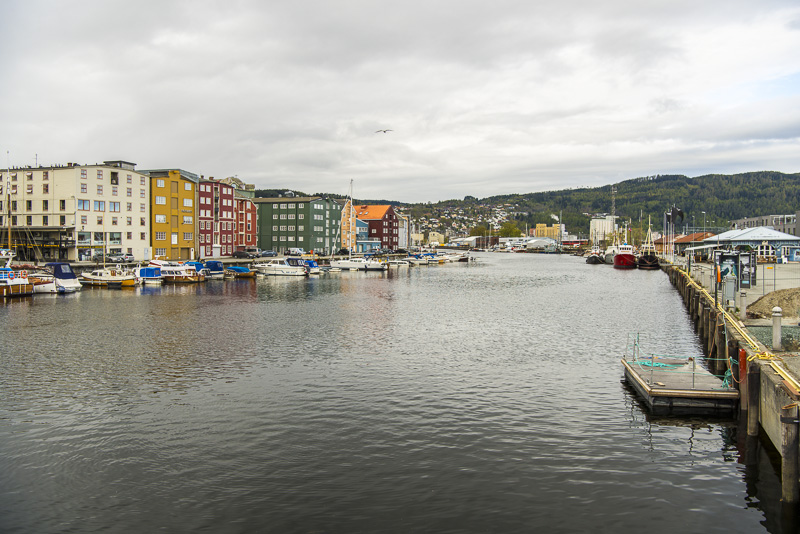
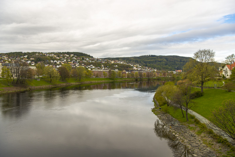
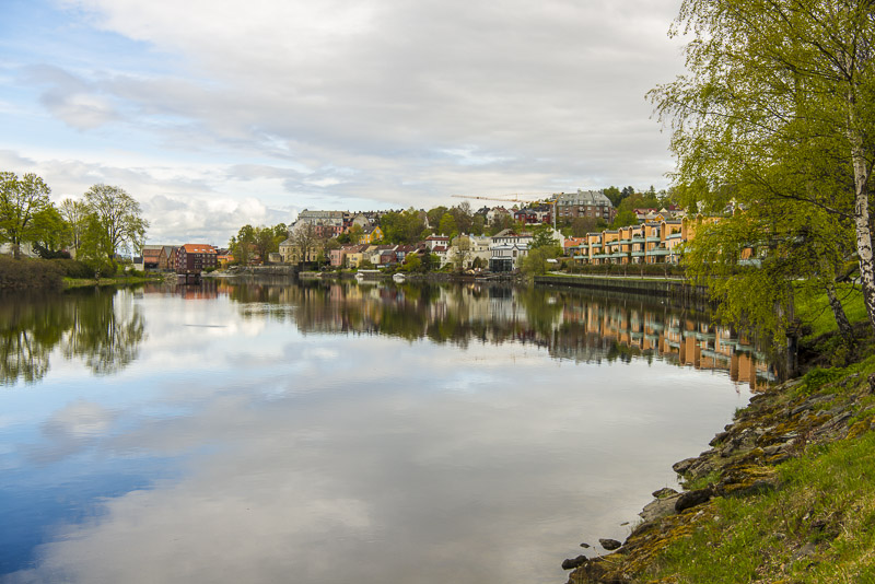
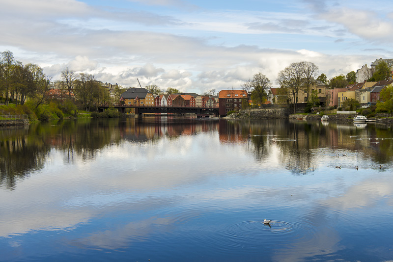
One of the delta distributary of the river Nidelva ...
... which flows through Trondheim. The houses are built close to the water, somw of them at least in part on piles.
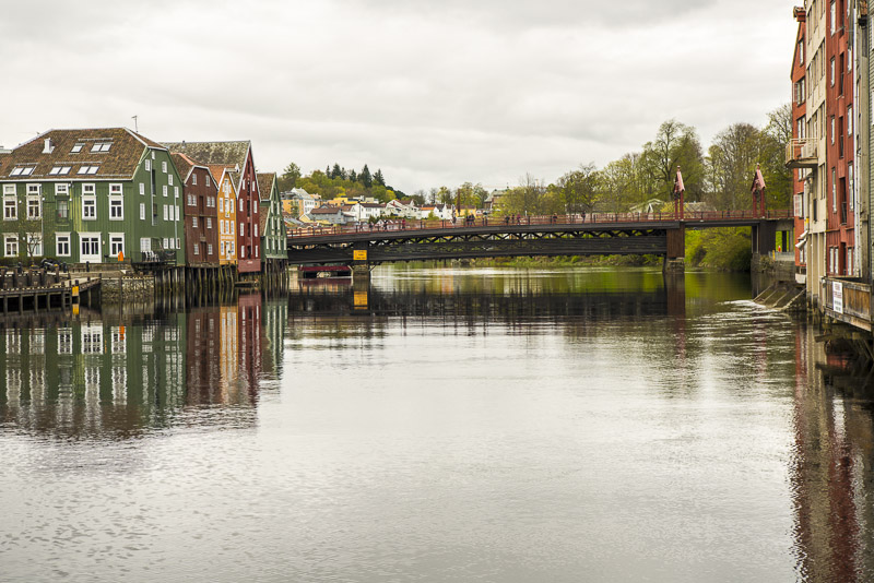
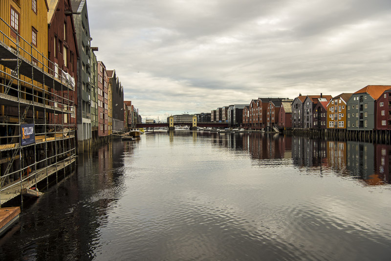
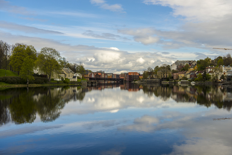
The old wood brisge Bybrua - is now closed for car traffic.
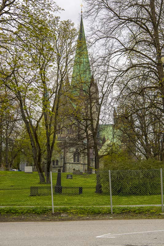
The Nidaros cathedral. We won´t enter it today, expecting a bus tour on our sail back.
Bybrua
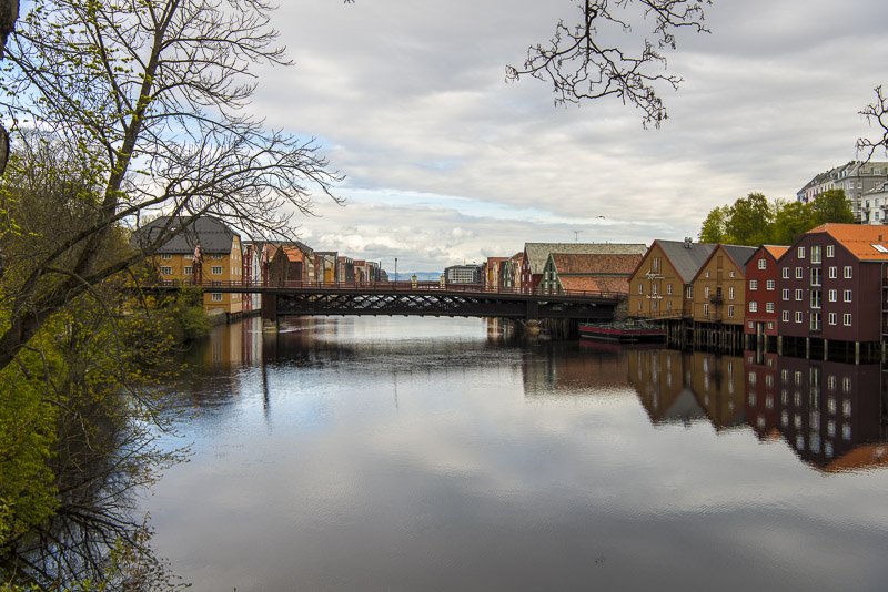
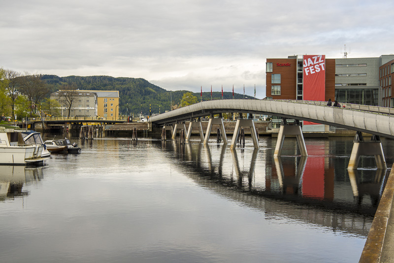
View from the Elgeseter Bru to the west.
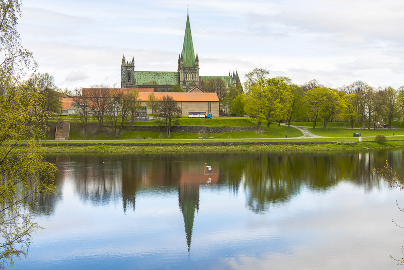
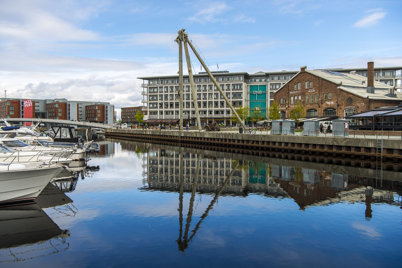
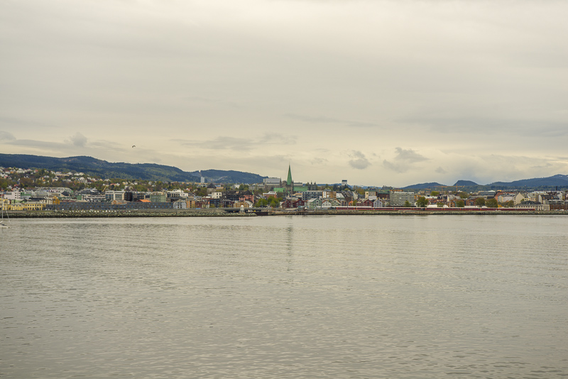
Nidaros cathedral beautifully mirroring in the water of the river Nidelva.
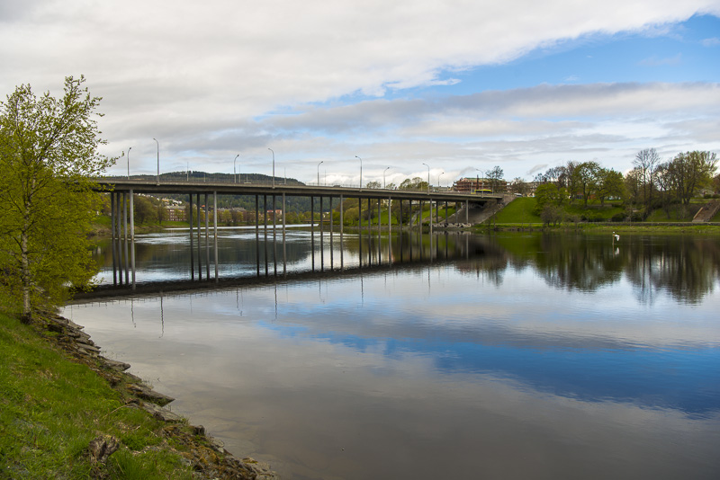
The Elgeseter Bru
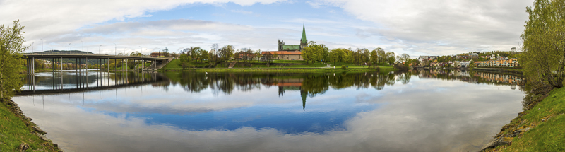
180 degree panoramic picture of the river Nidelva with the Nidaros cathedral. Click here or into the picture for a larger display.
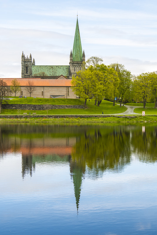
Nidaros cathedral
We stroll along the southern river promenade.
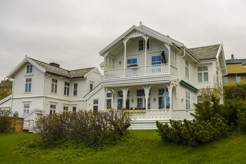
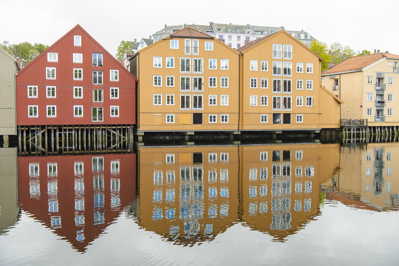
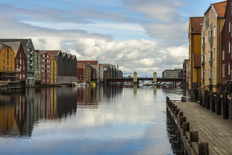
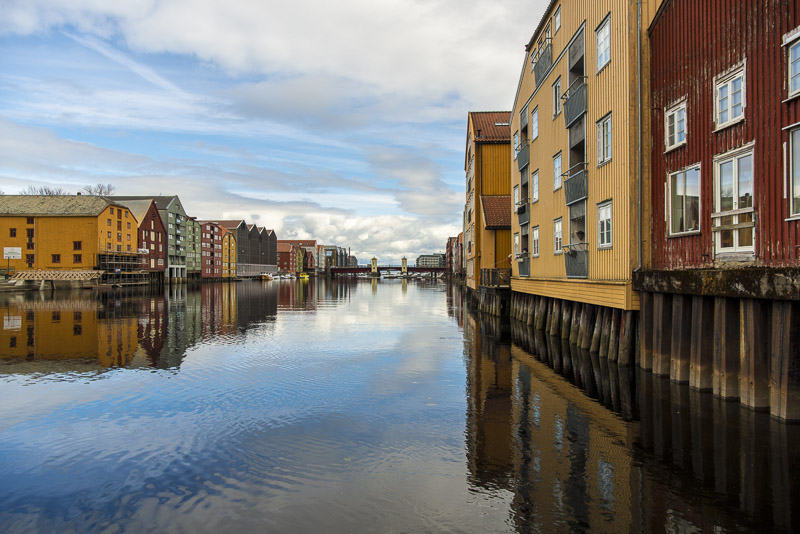
Beautiful houses along the river.
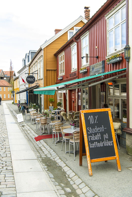
Where the houses are built close to the river, we must take the street. This is the student´s district. Regarding the prices for drinks here, 10% isn´t very much!
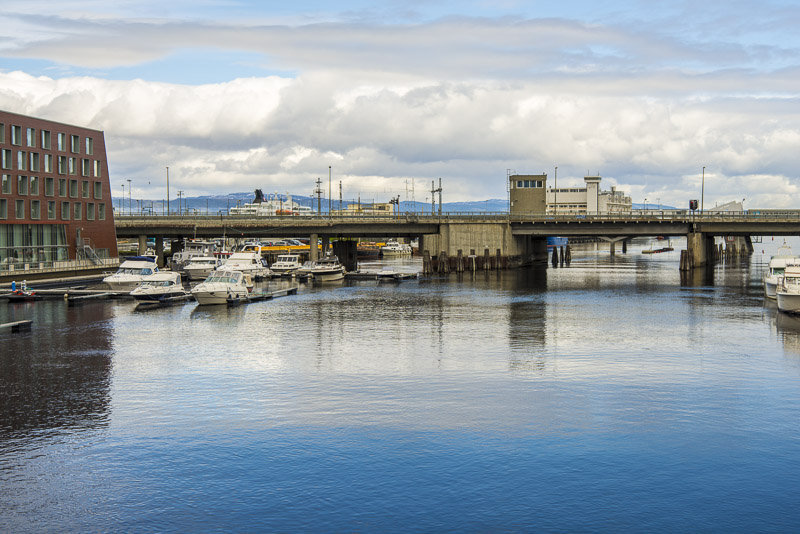
Short aprts can be walked near the river. Bakke Bru in the background.
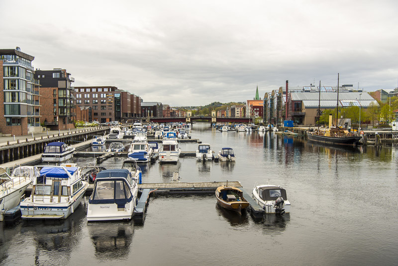
Small yacht haven, rather close to the estuary.
The Verftsbrua, a bridge for pedestrians and cyclers.
View from the bridge, upstream the river Nidelva.
View to the opposite, northern direction - the sea.
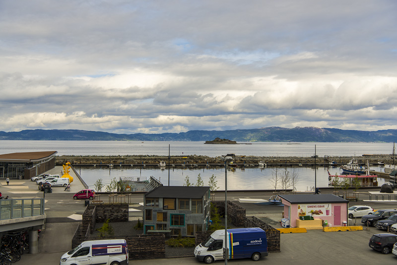
We cross the railway station on a big pedestrian bridge - good view to the Trondheim fjord from here.
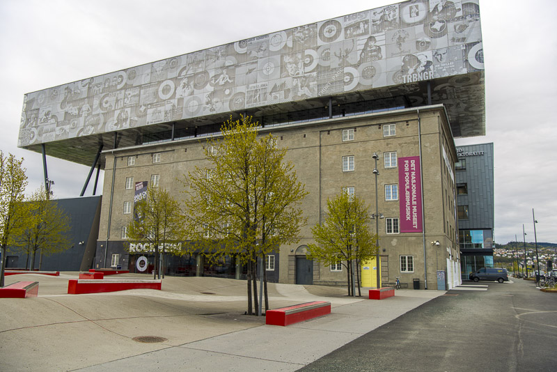
The Rockheim museum of popular music.
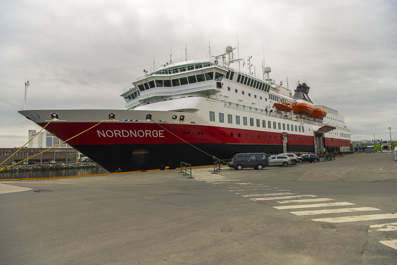
Back at our ship.
Departure exactly at 12 a.m.
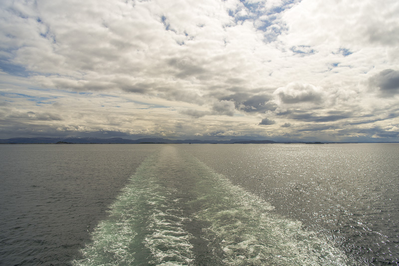
View back to Trondheim
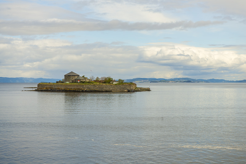
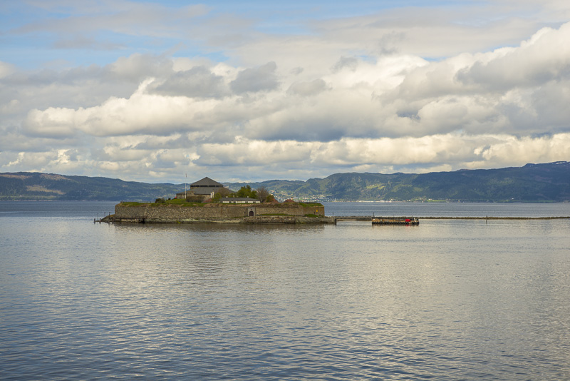
The tiny monastery island Munkholmen, today a recreational area. We now sail the Trondheim fjord to the west and then to the North.
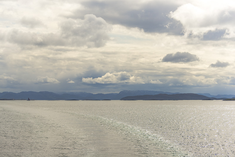
Back from the delicious lunch buffet. At 2:27 p.m. I am back on the deck. We have been sailing along the Trondheim fjord, now the route is along the coast.
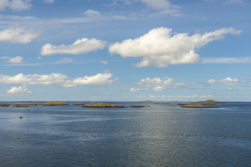
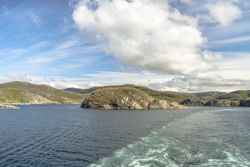
Navigating between the skerries and the mainland, with shallow water in many places - correct navigation is essential..

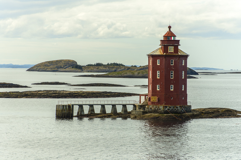
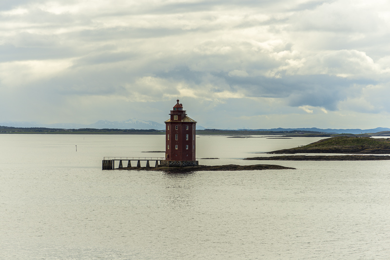
The lighthouse of Kjeungskjær, ...
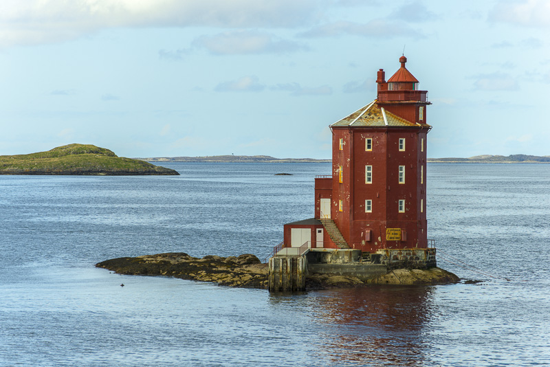
... built on a tiny skerry in 1880. An important signal from times prior to GPS. It is still enlightened, except for two months in midsummer, when it does not get dark.

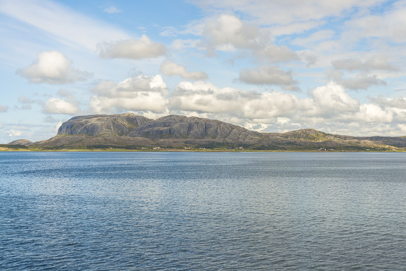
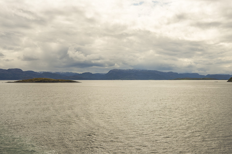
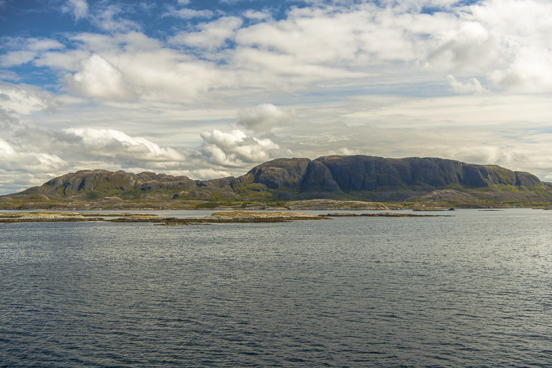
More mountains now. Should be the Tønnølsfjellet (374 m).
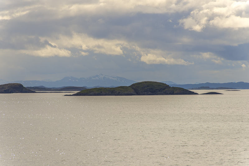
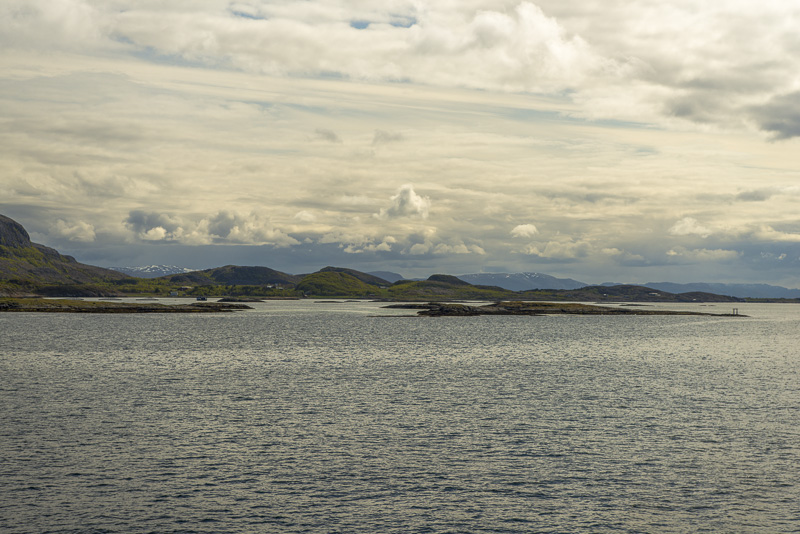
Snow covered mountains in the far distance ...
Tønnølsfjellet (374 m).
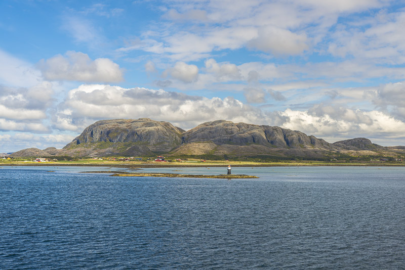
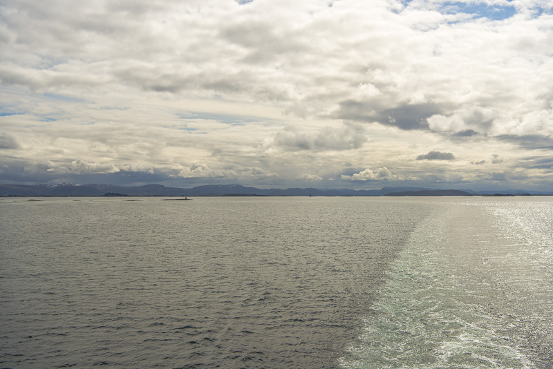
View back. The lighthouse is only ...
... a tiny dot, but by sure well visible during the night,
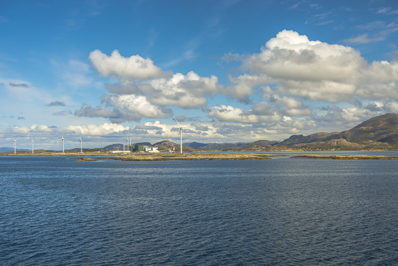
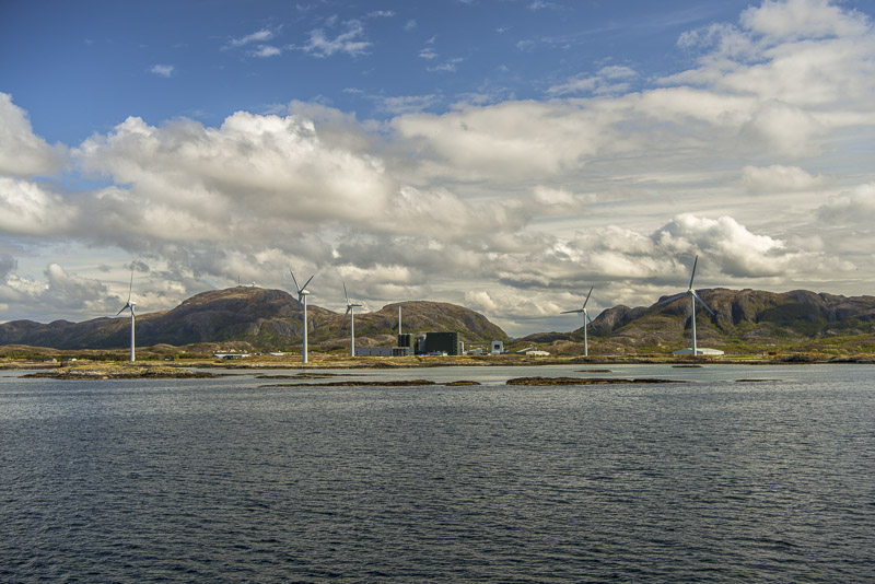
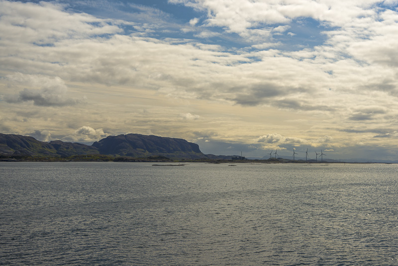
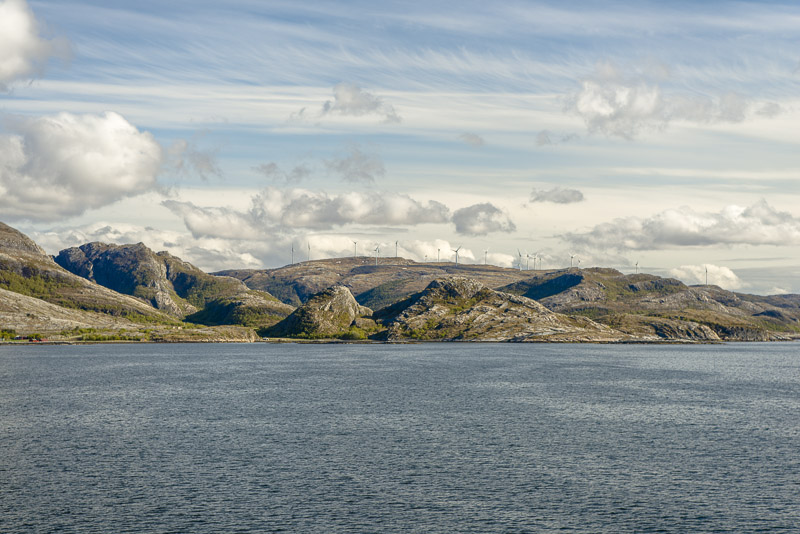
Wind turbins
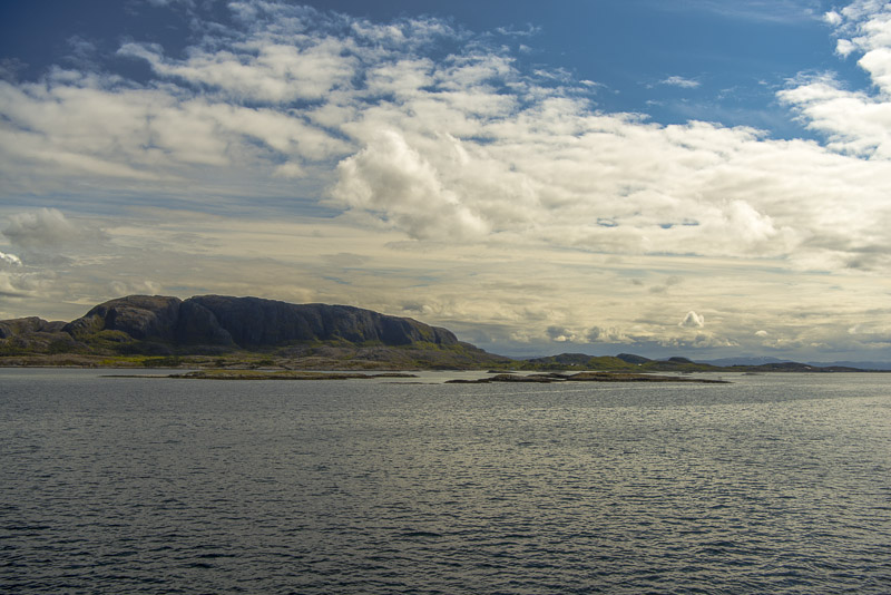
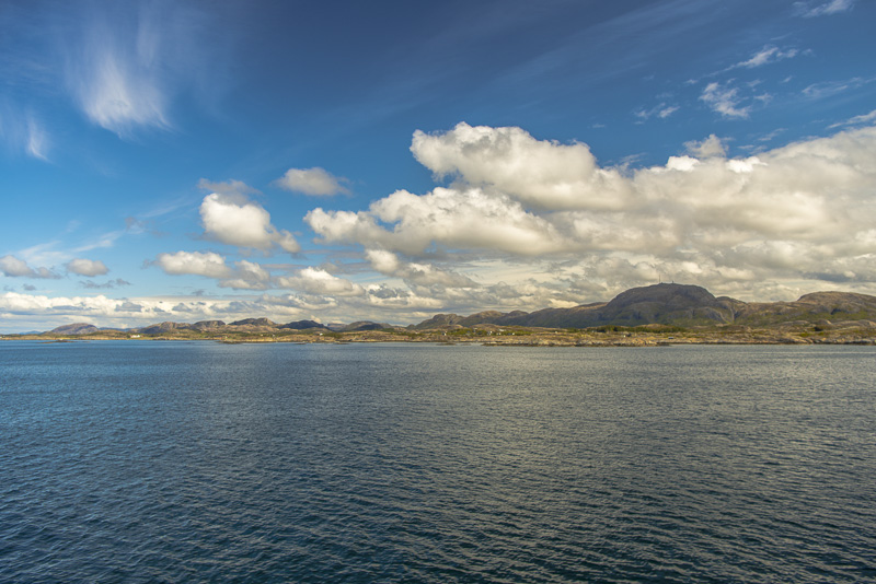
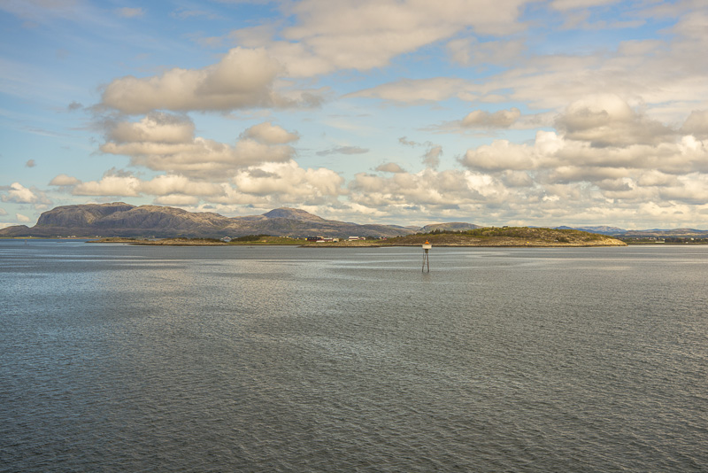
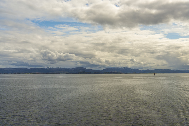
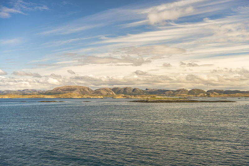
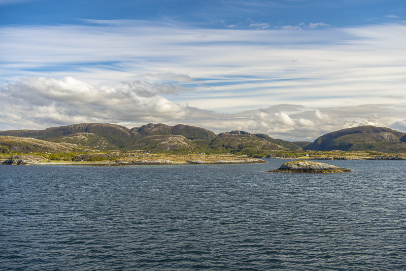
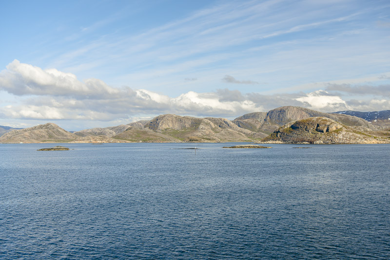
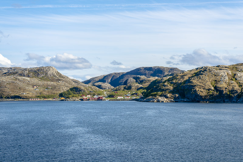
The area is called Tarvafjorden (according to the map), Linesfjorden afterwards. To the sea, there are many skerries, in the mainland there are mountains up to several hundred metres high.
Unbelieveable wideness ...
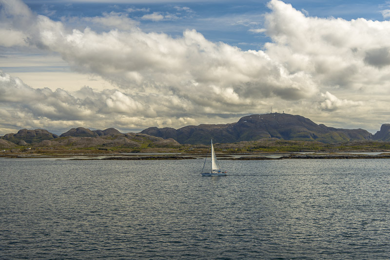
We don´t see many sailing boats (as yet?).
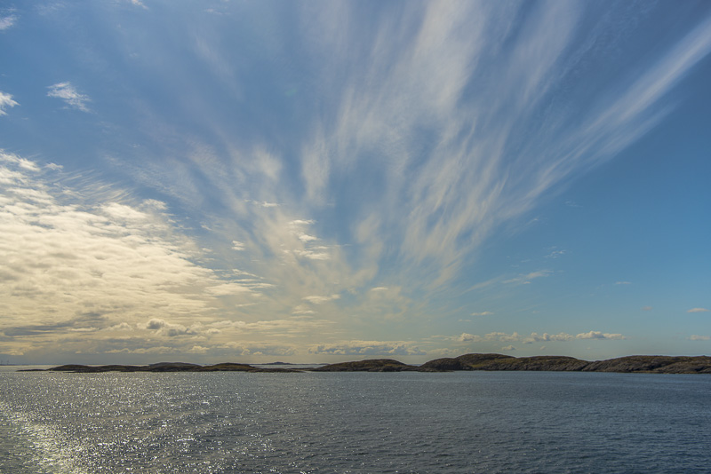
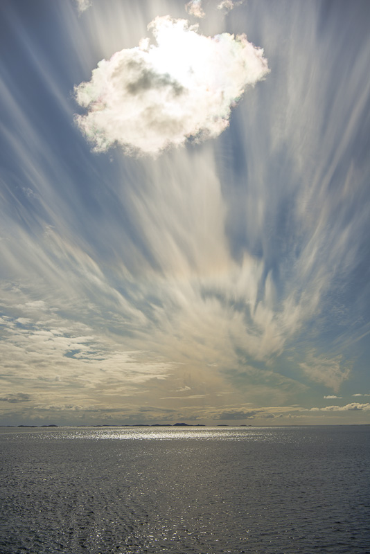
Cirrus clouds
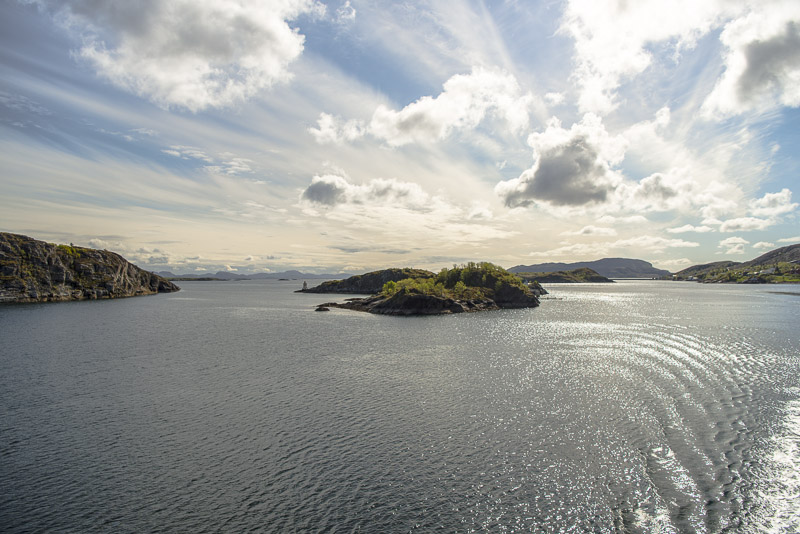
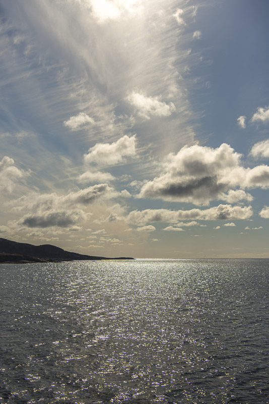
Looks like the sea is ending here.
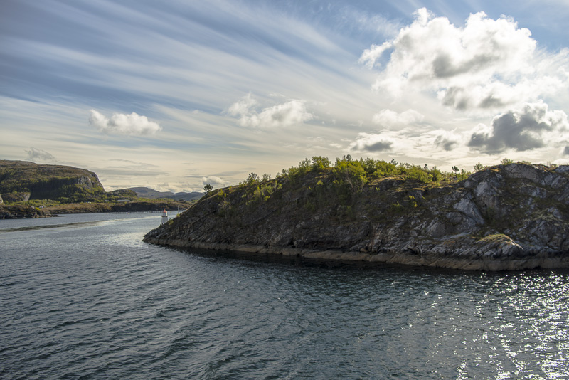
Now it gets interesting: we are sailing ...
... into the narrow Stokksund. Hard to believe that our big ship can sail this narrow sound.
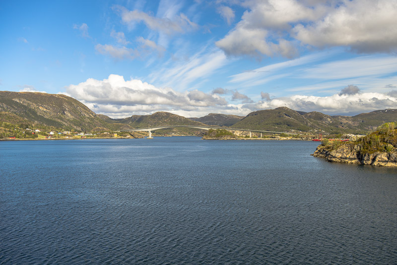
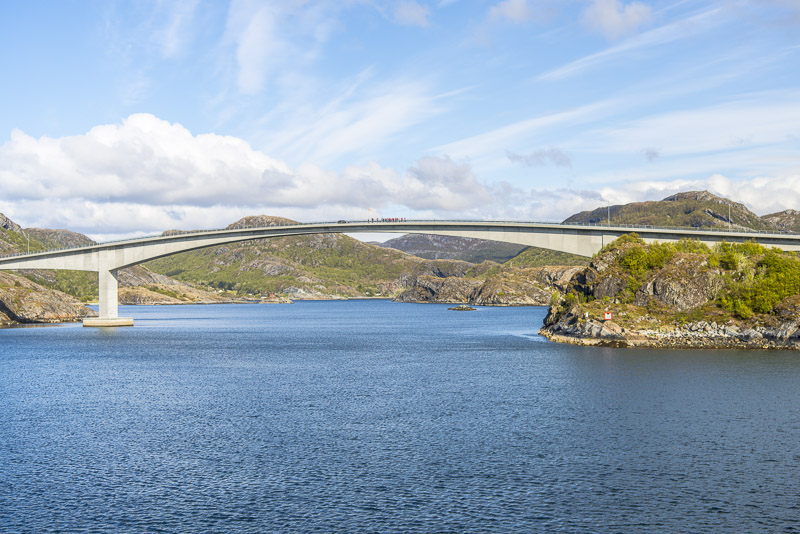
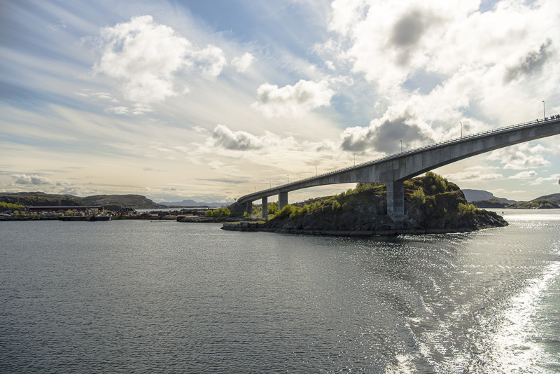
Stokkøybrua - leading from the mainland to the island of Stokkøya.
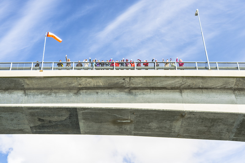
We are greeted.
Inside the Stokksund
Sailing several narrow curves ...
... and we are back in the large water.

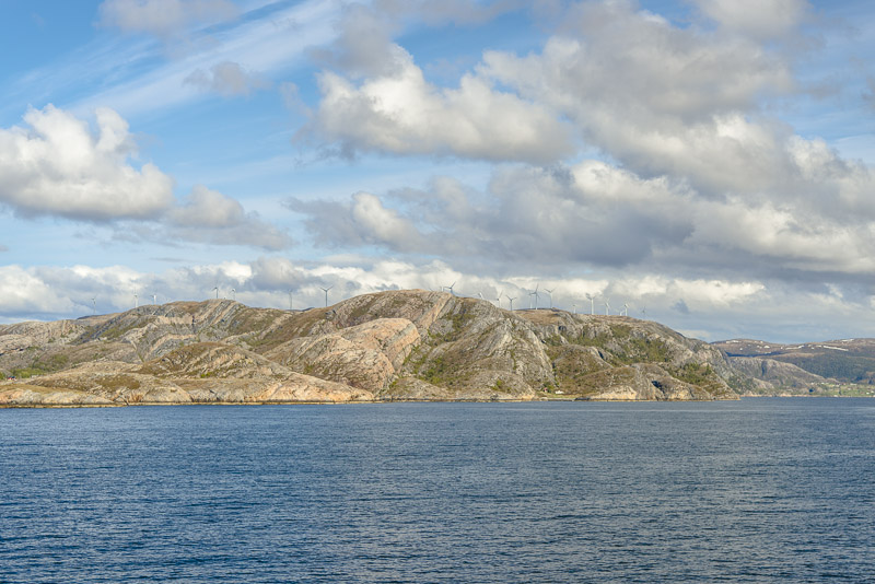
More wind turbines
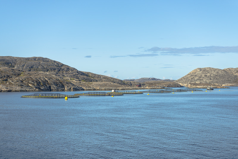
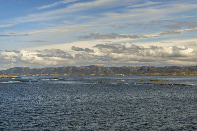
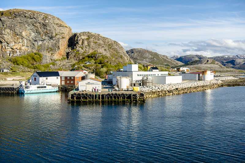
We see many fish farms on our way, mostly salmons are bred here, we are told.
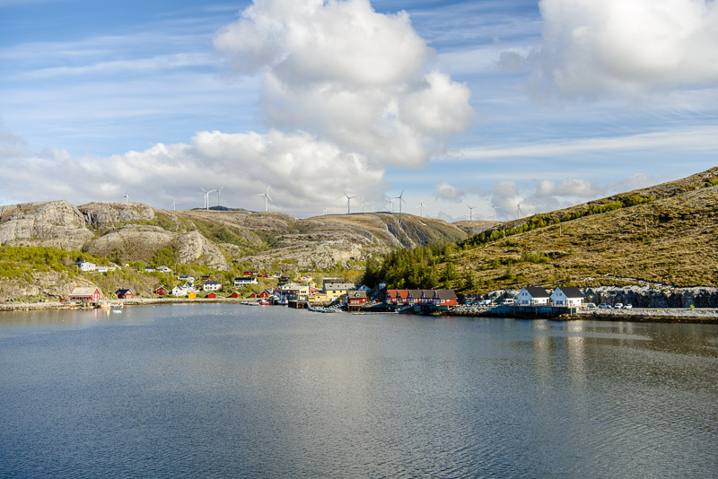
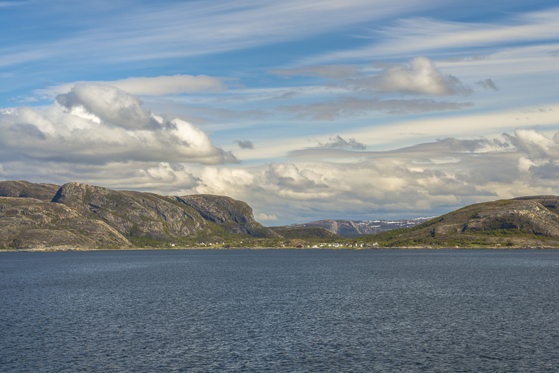
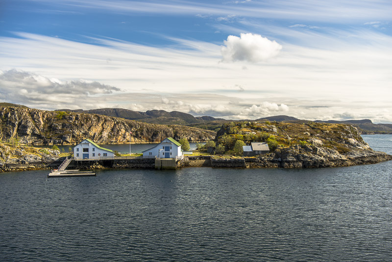
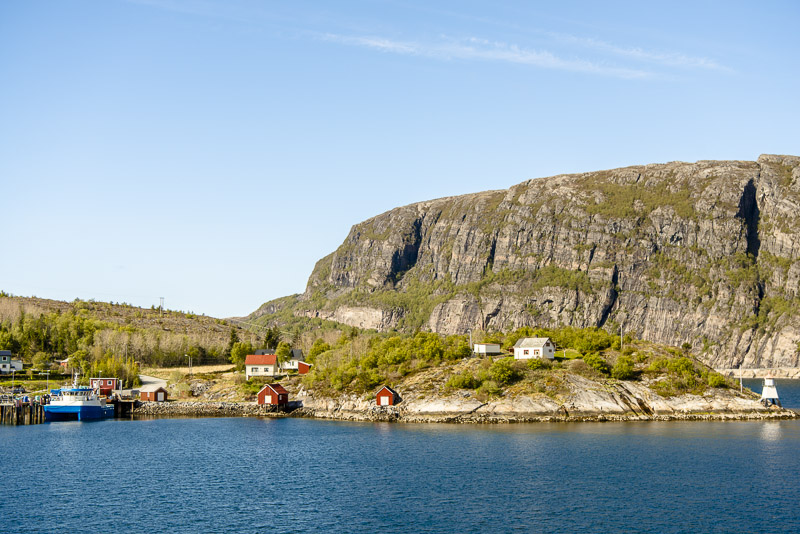
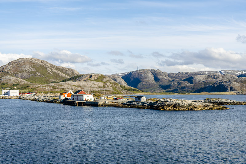
Small village at the entrance to a narrow gorge - could be Bessaker.
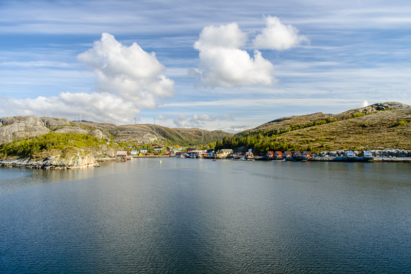
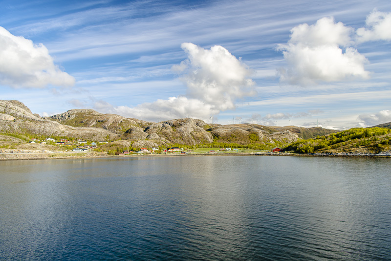
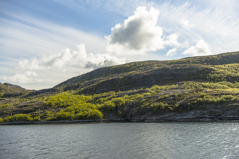
Small area good for pasture, the highland behind is scraggy.
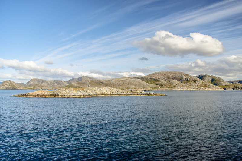
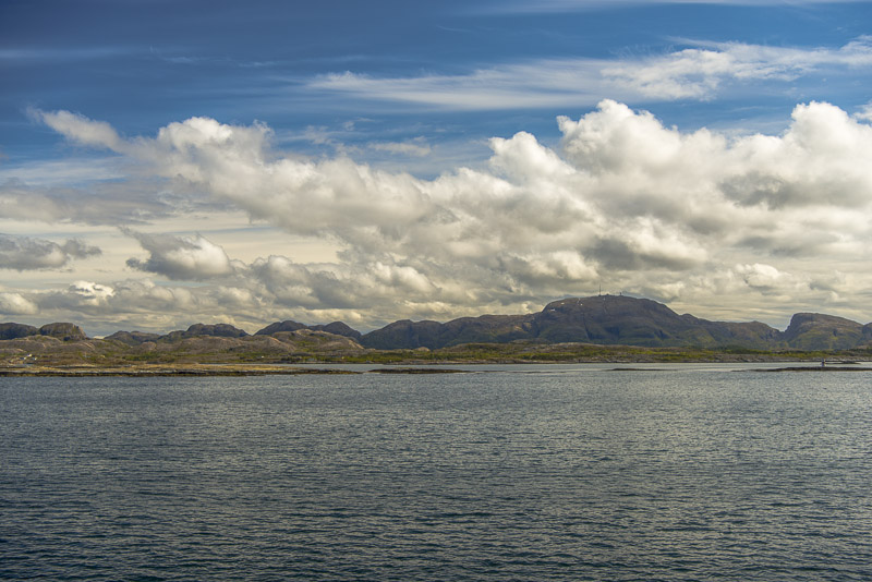
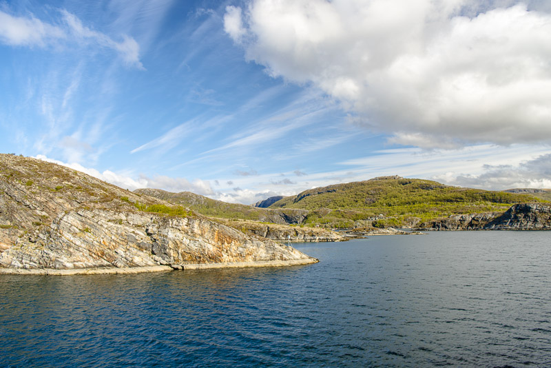
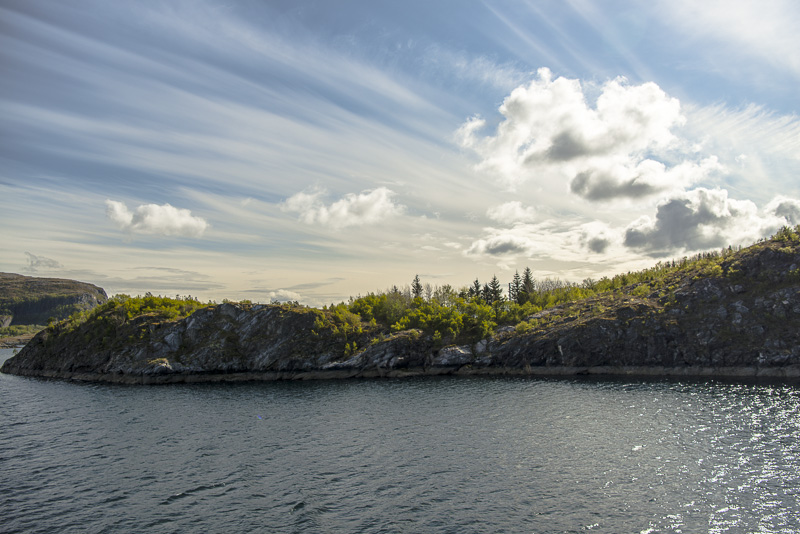
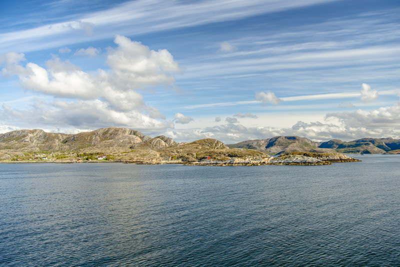
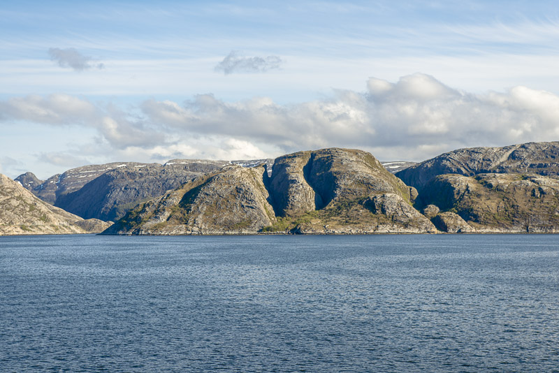
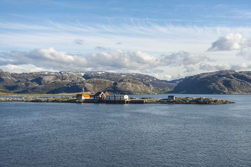
Sailing along the coast or between the coast ant skerries or small islands.
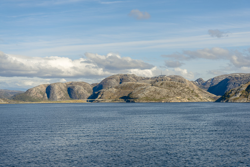
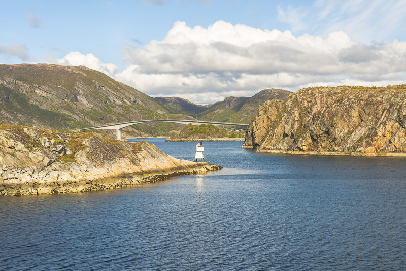
Land of the bridges ...
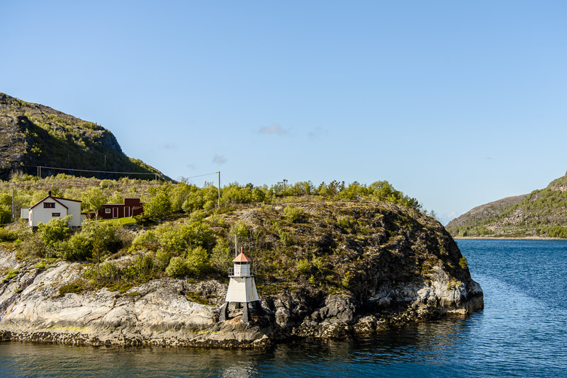
Strandholmen ...
... near Sandviksberget.
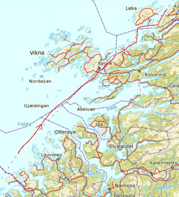
Now sailing out to the open sea, and when we put on in Rørvik for half an hour, we are served our dinner - so the photographer is busy elsewhere.
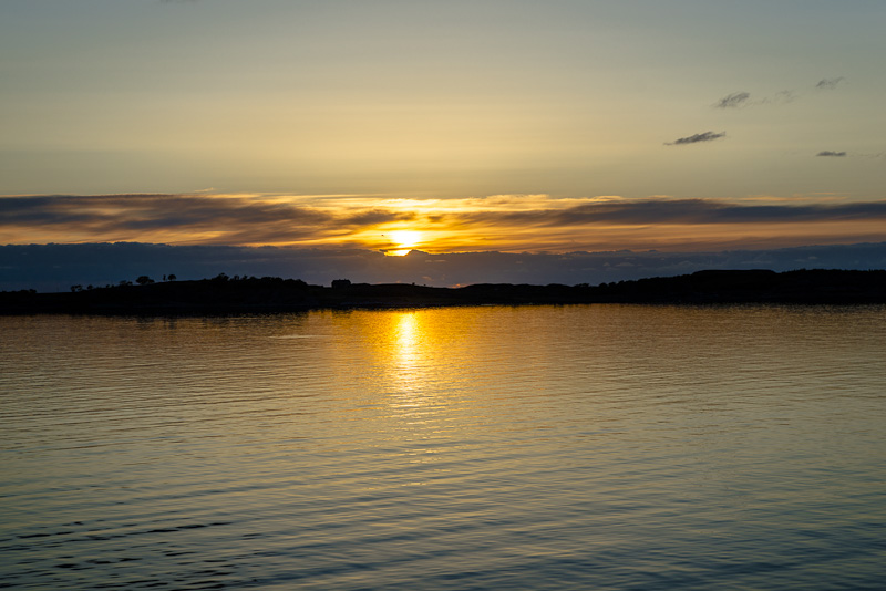
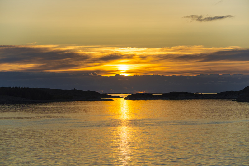
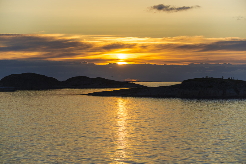
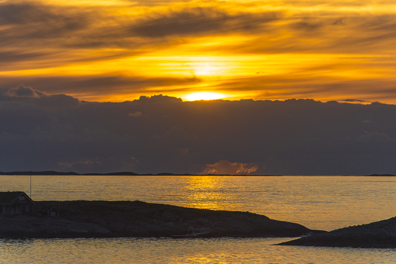
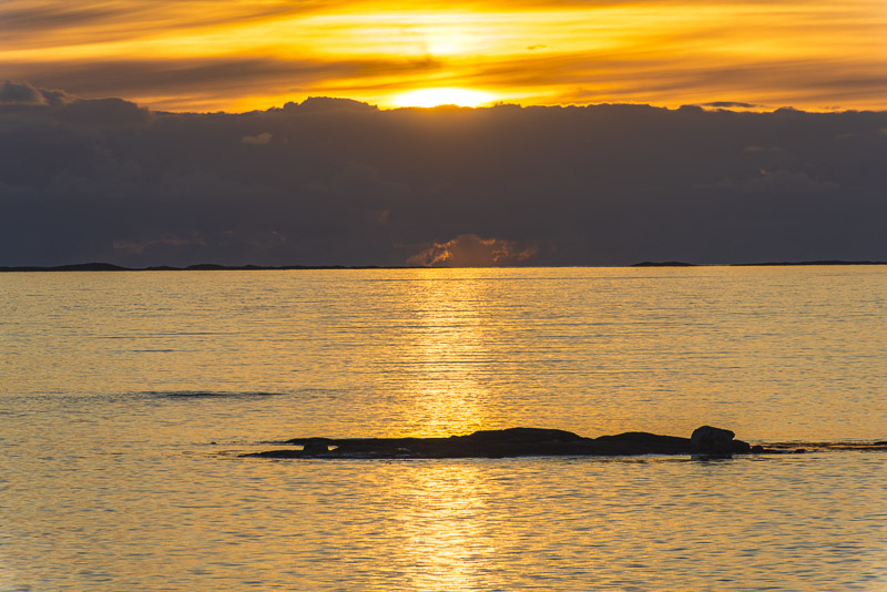
Back to the deck after dinner to enjoy the last rays of sunshine.