Dürre Wand - Gauermannhütte 18.3.2015
After a week of gloomy and cloudy weather, the sun is back, and some hours of spare time in the morning are used for a walk up the ridge of the Dürr e Wand ("Draughty wall"). Although it is less than half an hour´s drive to here, I only once walked this area, more than 15 years ago.
I drive to the Miesenbach valley (that is, that valley behind the Hohe Wand) and branch off to the right shortly before the Hornung inn using a narrow tarmac road leading up to the Tiefenbach dale. From there, it is up to the Schwaighofer farm house and up on the ridge of the Dürre Wand, then along the ridge taking the "Wurzlweg" ("roots route") to the Gauermann hut on the summit of the Plattenstein. The descent is to the other side down passing the Haselbauer farm house and back to the car.
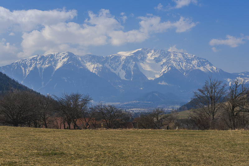
As I don´t know the area, I drive too far - up to a small saddle near the "T" of "Tiefenbach" in the map. Here I must turn back, not before having taken this picture, of course.
Near the Schwaighofer. Slurry was splattered on the grass - disposal, manure but also the cause of death of so many beautiful orchids. But this is agricultural land where a crop (grass for the cattle) has to be realized.
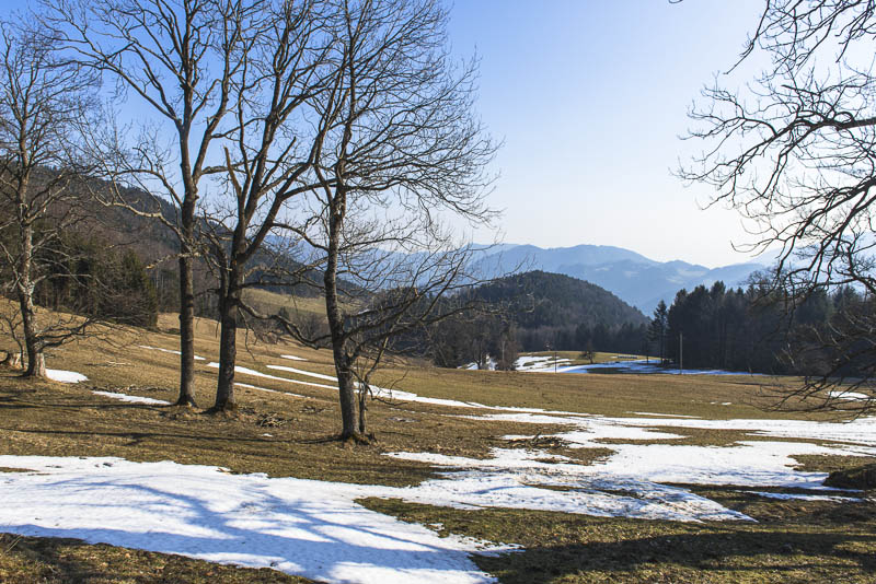
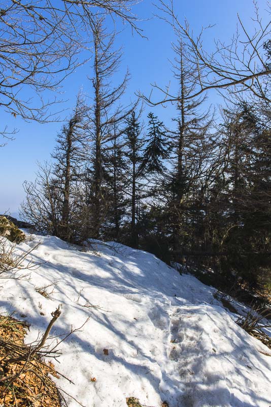
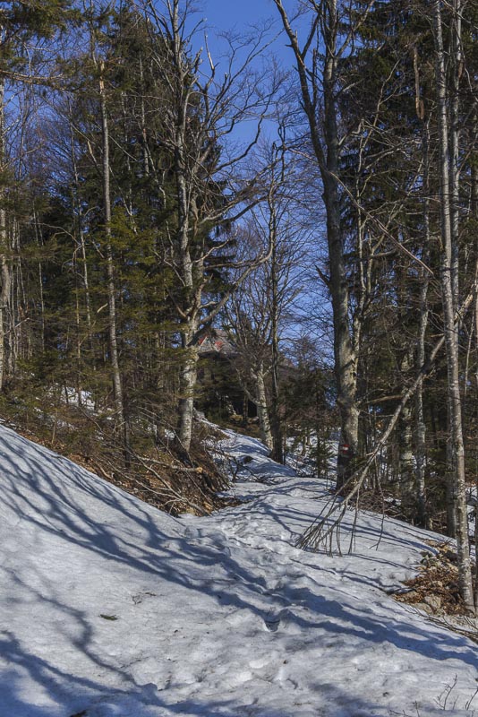
Rests of snow.
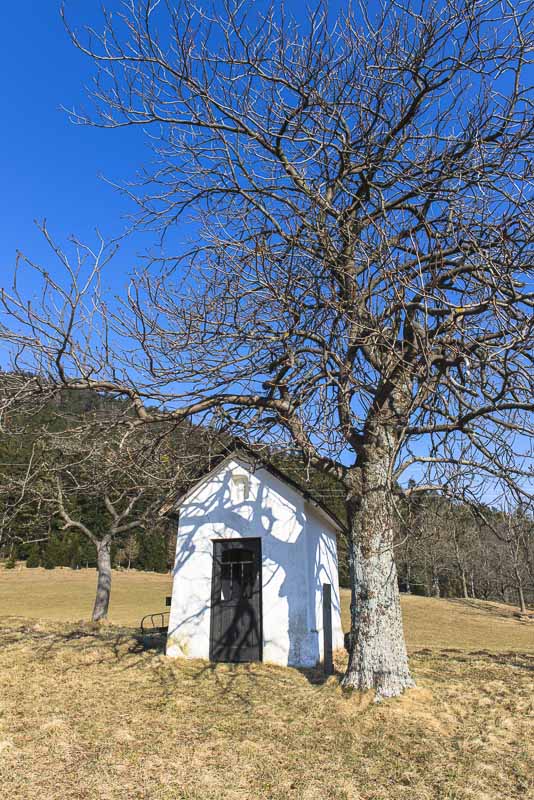
Small wayside shrine near the Schwaighofer.
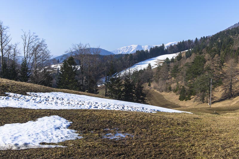
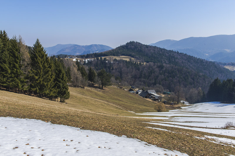
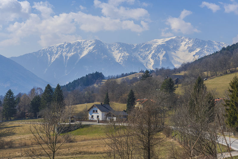
This is the view from Schwaighofer to the east - the Piesting valley.
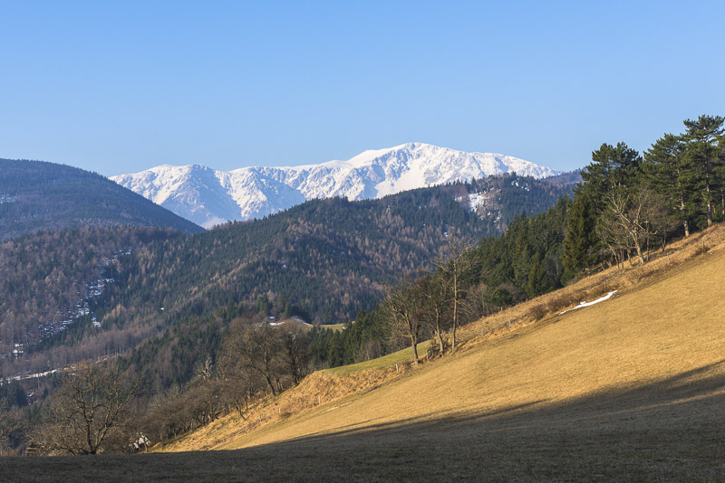
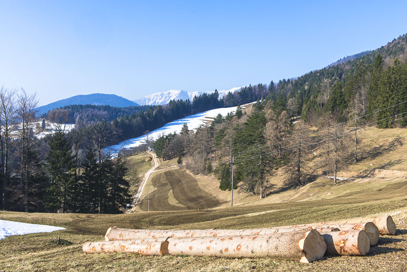
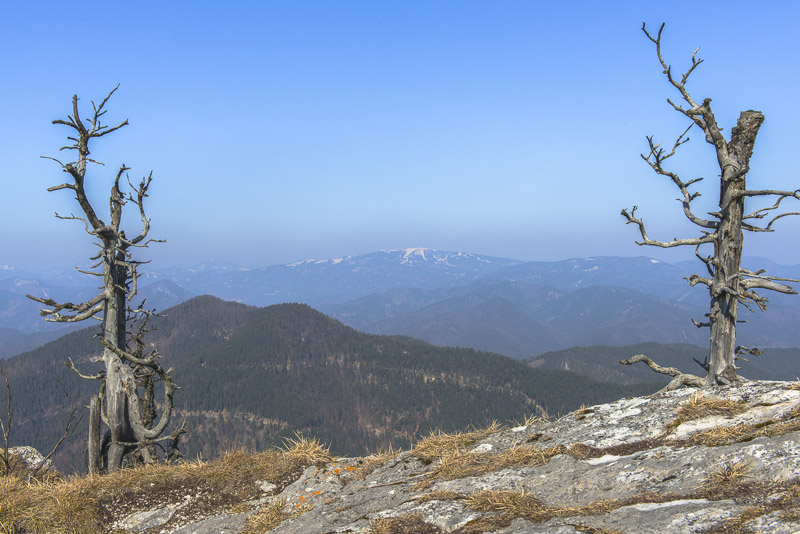
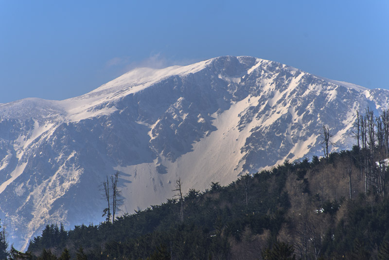
The way up the ridge gives many beautiful viewa to the North this is the Unterberg with its skiing slopes, still in use, I suppose.
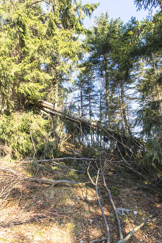
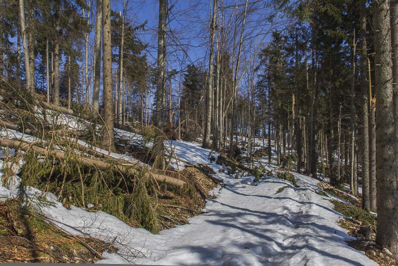
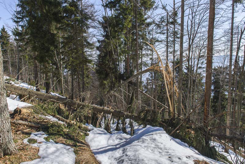
The freezing fog with extreme hoar frost last December has impaired the trees up here. Many of them are broken or uprooted.
Unterberg
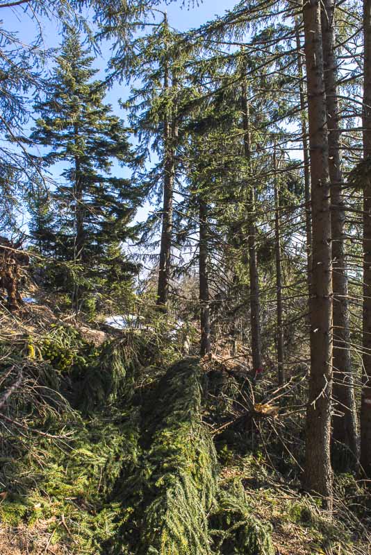
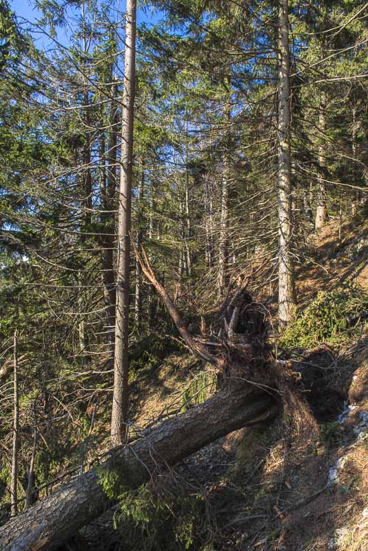
Unbevievable damage to the forest. I proceed only slowly in places because I have to circumvent fallen trees or climb over or under the trunks
Snow cornices on the ridge.
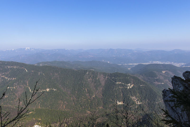
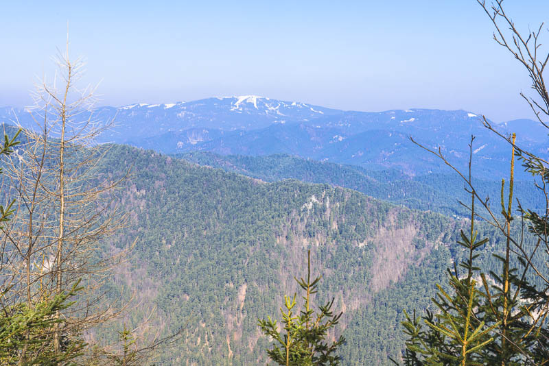
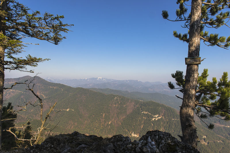
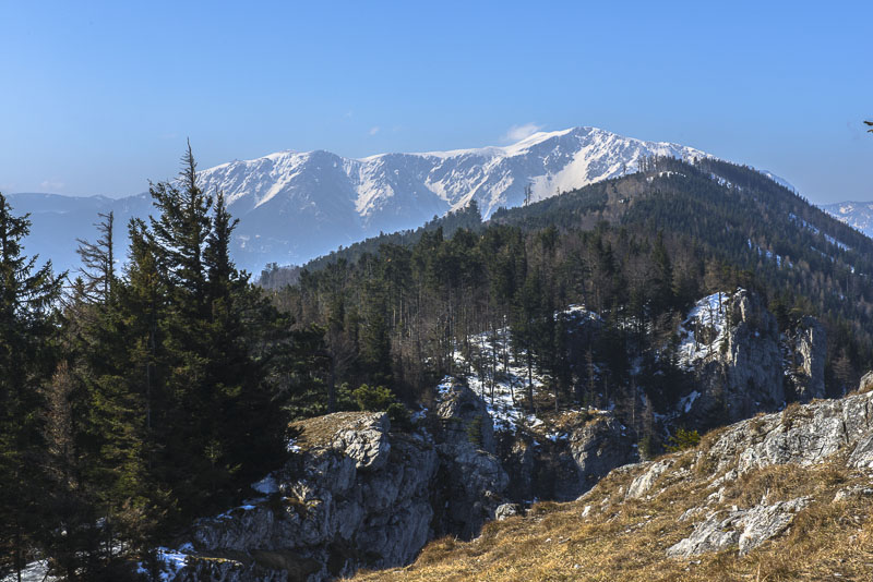
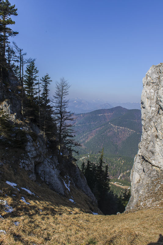
The view is ever improving. Pernitz to the right.

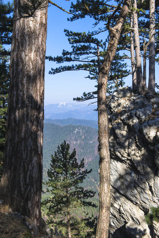
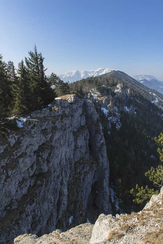
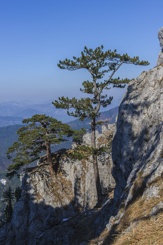
The Dürre Wand has high rock walls to the North ...
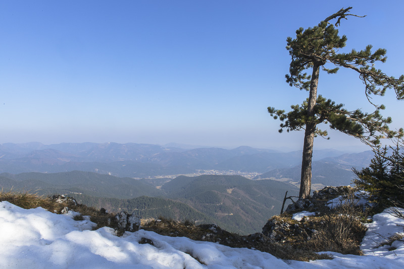
... resulting in many beautiful view places along the ridge.
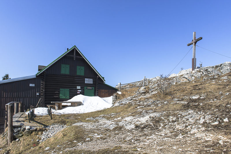
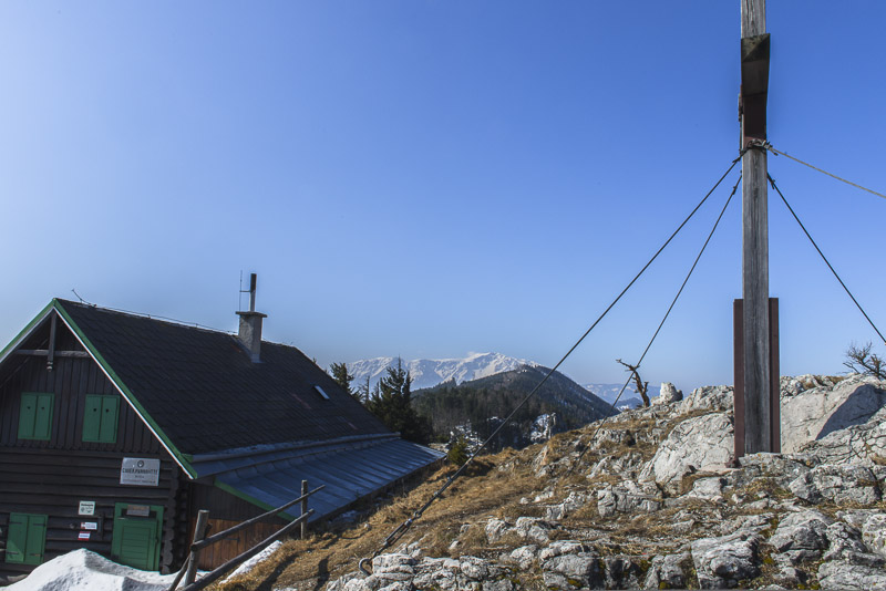
Arrived on the summit at the Gauermann hut, which is operated only on summer weekends.
Unterberg ...
...
... and ...
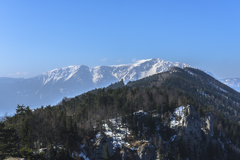
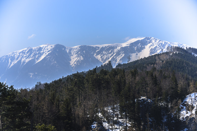
... Schneeberg.
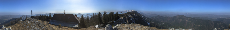
360 degree summit panorama from Plattenstein, Dürre Wand. Click here or into the picture for a larger display.
Pernitz
Unterberg
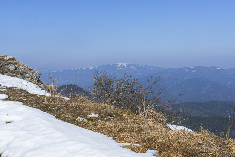
Schneeberg
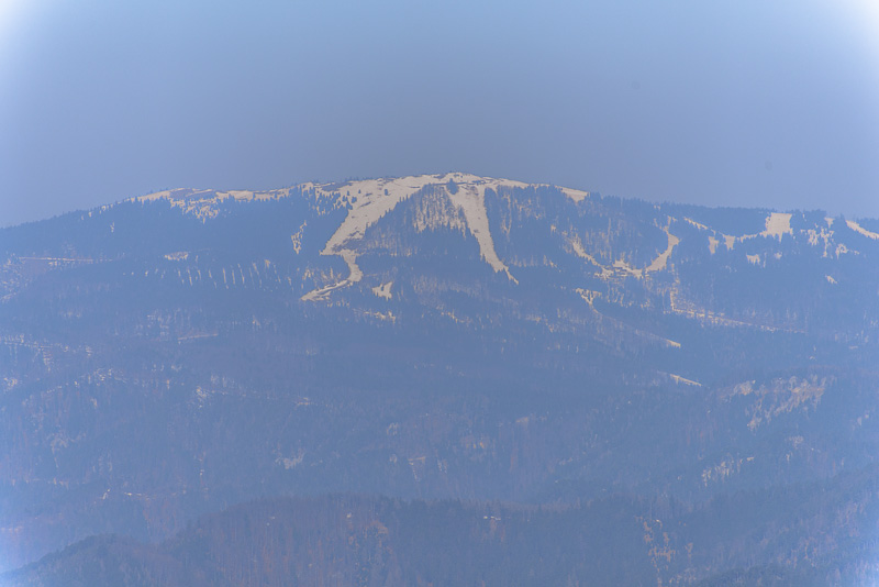
Unterberg in maximal Zoom
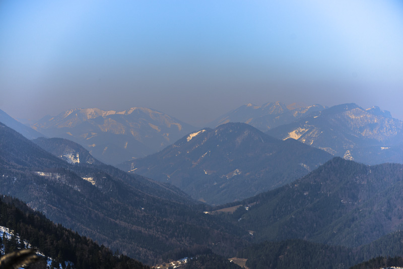
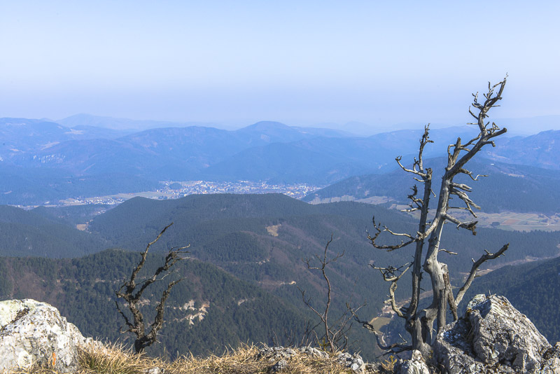
Obersberg, Gippel and Göller to the left, to the right in behind a glimpse of Ötscher.
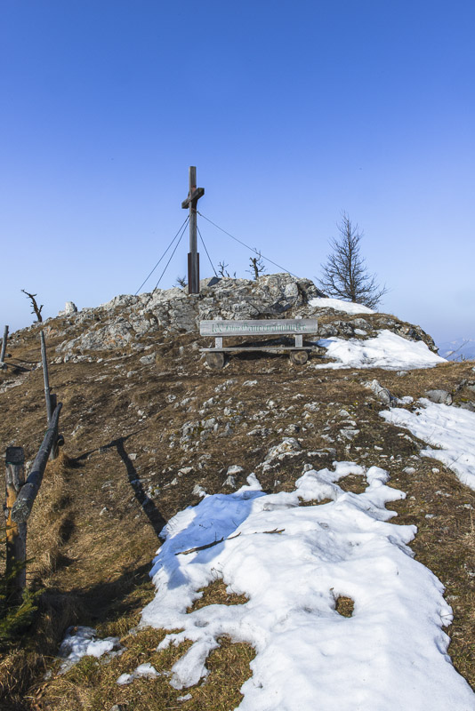
A vertical rock wall starting directly at the summit.

Gauermann hut.

The summit is to the right in both pictures ...
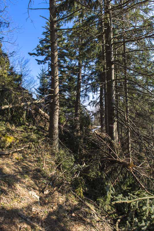
Starting the descent ...
through the devastated forest.
Unbelievable forces have fragmented the trunk of this beech.
On the grassland above the Haselbauer.
Looking carefully to this pictures shows you, ...

... that all the many short vertical stripes are broken trees!
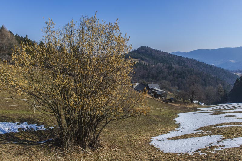
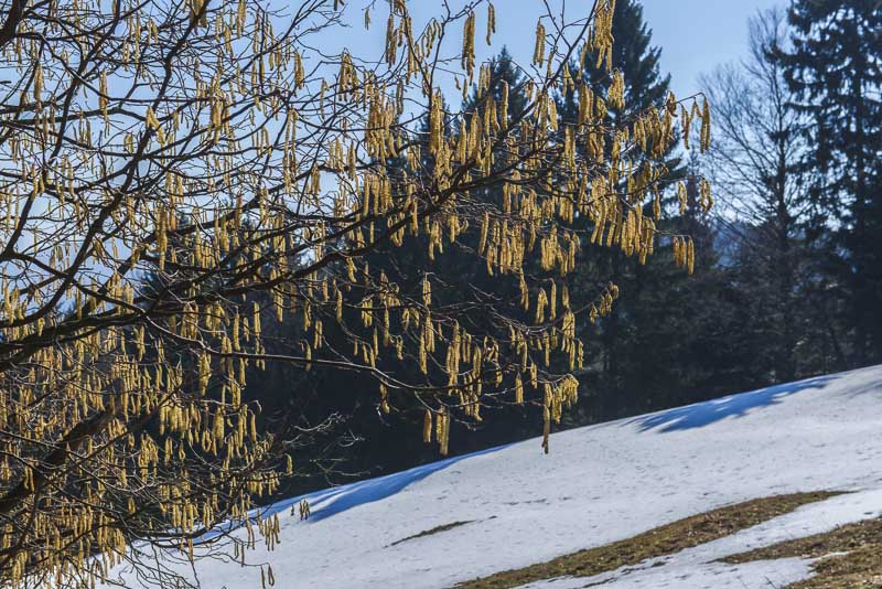
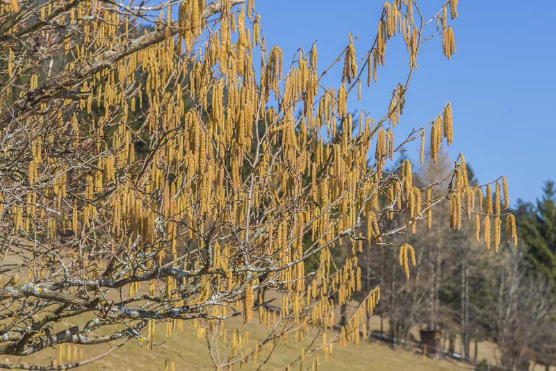
Haselbauer is living up to its name ("Haselbauer" means "Hazel farm")!
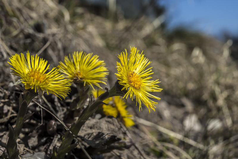
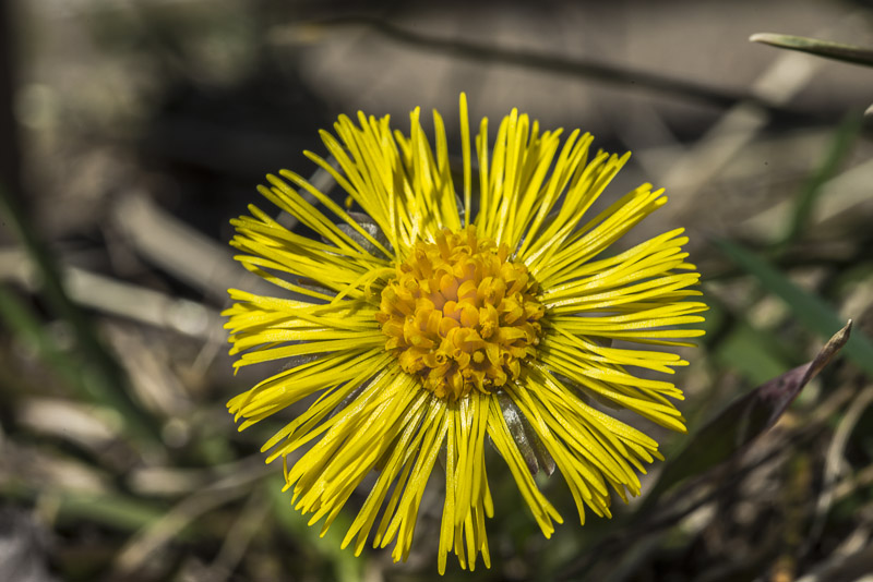
Coldsfoot flowrishing near the path.
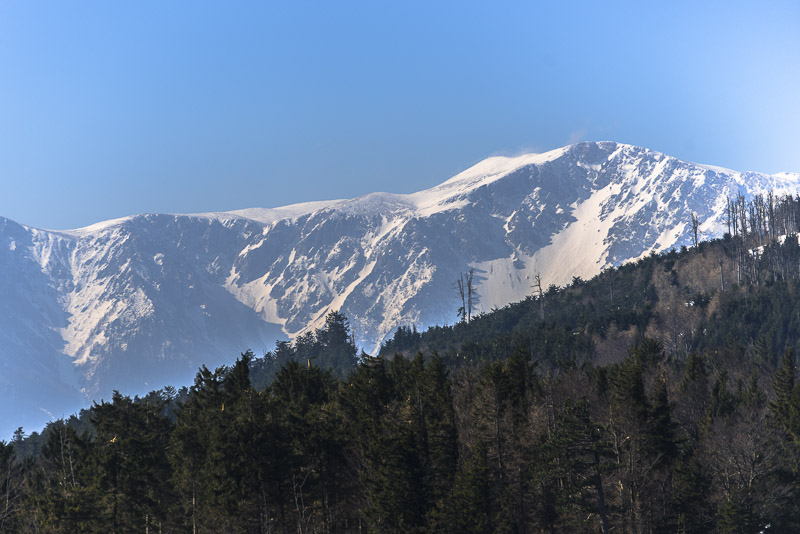
On the way back, I don´t drive through the Piesting valley, but up over the Ascher saddle to Puchberg and back via Grünbach and Willendorf. So I get another view on Schneeberg.